Highleadon
Settlement in Gloucestershire Forest of Dean
England
Highleadon

Highleadon is a small village located in the county of Gloucestershire, England. Situated on the eastern edge of the Forest of Dean, it lies approximately 16 kilometers southwest of the city of Gloucester. Highleadon is part of the Forest of Dean district and falls within the civil parish of Rudford and Highleadon.
The village is characterized by its picturesque rural setting, with rolling hills, lush green fields, and charming countryside views. It is predominantly a residential area, with a population of around 300 residents. The village is known for its tight-knit community and friendly atmosphere.
Highleadon is home to a small but historic Anglican church, St. Mary's Church, which dates back to the 13th century. The church serves as a gathering place for religious services and community events. The village also has a village hall that serves as a hub for various social and recreational activities.
While Highleadon may be small in size, it benefits from its proximity to larger towns and cities. Residents have easy access to amenities and services in nearby Gloucester, as well as the natural beauty and recreational opportunities offered by the Forest of Dean.
Overall, Highleadon offers a peaceful and idyllic countryside living experience, making it an attractive place for those seeking a slower-paced lifestyle surrounded by nature.
If you have any feedback on the listing, please let us know in the comments section below.
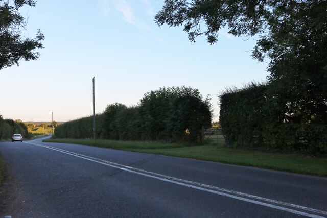
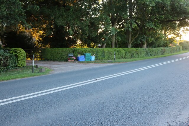
Highleadon Images
Images are sourced within 2km of 51.909148/-2.337954 or Grid Reference SO7623. Thanks to Geograph Open Source API. All images are credited.


Highleadon is located at Grid Ref: SO7623 (Lat: 51.909148, Lng: -2.337954)
Administrative County: Gloucestershire
District: Forest of Dean
Police Authority: Gloucestershire
What 3 Words
///trails.redeeming.cabin. Near Newent, Gloucestershire
Nearby Locations
Related Wikis
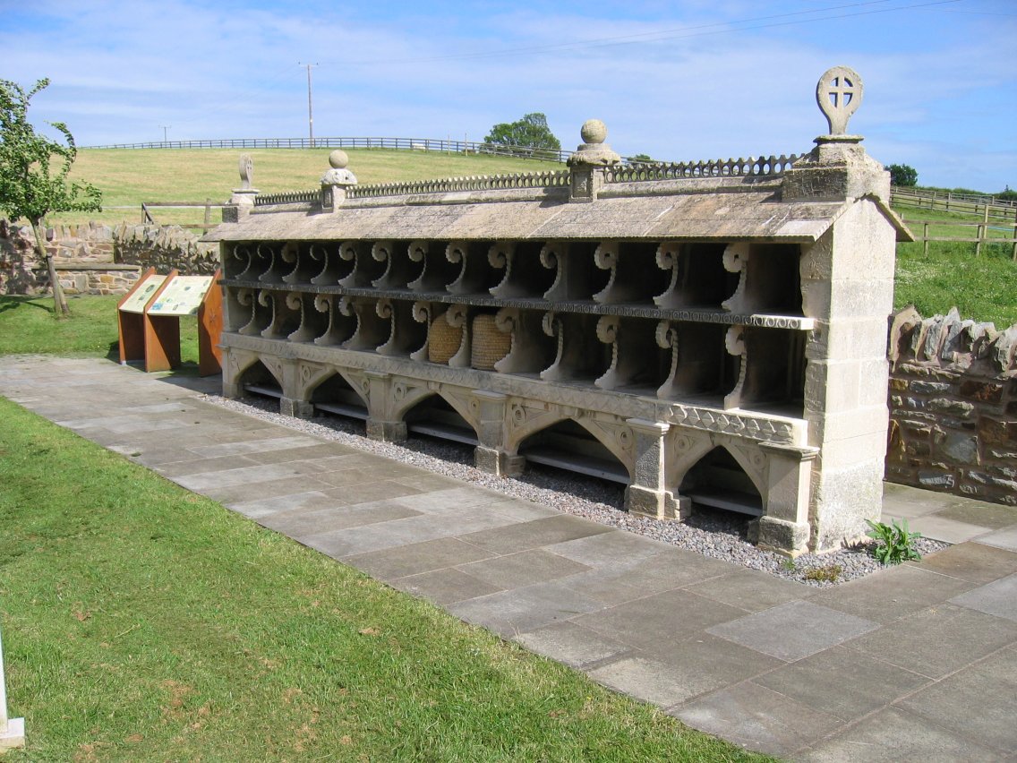
The Bee Shelter, Hartpury
The Bee Shelter, Hartpury, Forest of Dean, Gloucestershire, England, is a 19th-century bee shelter. It is a Grade II* listed structure. == History and... ==

Barbers Bridge railway station
Barbers Bridge railway station was on the Ledbury and Gloucester Railway in Gloucestershire, England. It was opened on 27 July 1885 and it closed to passengers...

Tibberton, Gloucestershire
Tibberton is located 5 miles (8.0 km) from Gloucester and 5 miles from Newent. The current population of Tibberton as recorded in the 2021 census was 590...

Okle Green
Okle Green is a village in Gloucestershire, England.

Rudford
Rudford is a village and former civil parish, now in the parish of Rudford and Highleadon, in the Forest of Dean district, in the county of Gloucestershire...

Hartpury University F.C.
Hartpury University Football Club is a football club based in Hartpury, England, and are the football team of the Hartpury College. They are currently...

Woolridge
Woolridge is a village in Gloucestershire, England.

Hartpury
Hartpury is a civil parish in Gloucestershire, England. It has an area of about 3,500 acres (1,400 ha), about 270 homes and a population of about 700 people...
Nearby Amenities
Located within 500m of 51.909148,-2.337954Have you been to Highleadon?
Leave your review of Highleadon below (or comments, questions and feedback).