Green

Downs, Moorland in Gloucestershire Forest of Dean

England

Green

Highleadon (Hartpury) Mill, Highleadon A mill is thought to have existed here since the 12th century. The current building is Grade II Listed and dates from the 18th and early 19th century. There were originally two wheels but this 4.3 metre wheel is the only survivor and was restored in 1982.
Highleadon (Hartpury) Mill, Highleadon Credit: Chris Allen

Green, Gloucestershire is a small village located in the picturesque county of Gloucestershire, England. Nestled amidst the stunning countryside, it is known for its scenic beauty and tranquil atmosphere. The village is situated on the fringes of the Cotswold Hills, offering breathtaking views of rolling green downs and moorland.

Green is home to a close-knit community, with a population of approximately 500 residents. The village is characterized by its charming stone cottages, which date back several centuries and are a testament to its rich history. The local church, St. Mary's, is a prominent landmark and adds to the village's traditional charm.

The surrounding landscape of Green is a haven for nature enthusiasts and outdoor lovers. The downs and moorland provide ample opportunities for hiking, cycling, and horseback riding, with numerous well-marked trails to explore. The area is renowned for its diverse flora and fauna, making it a popular spot for birdwatching and wildlife spotting.

Despite its rural setting, Green is conveniently located near larger towns and cities. The bustling market town of Cirencester is just a short drive away, offering a wide range of amenities, including shops, restaurants, and leisure facilities. The city of Gloucester, with its historic cathedral and thriving cultural scene, is also within easy reach.

In summary, Green, Gloucestershire is a peaceful and idyllic village, offering a perfect blend of rural charm and easy access to nearby amenities. Its stunning natural surroundings make it a haven for outdoor enthusiasts, while its historic architecture and sense of community create a warm and welcoming atmosphere for residents and visitors alike.

If you have any feedback on the listing, please let us know in the comments section below.
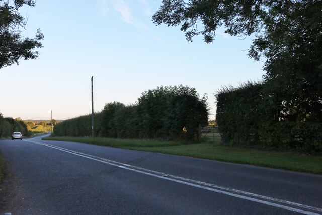
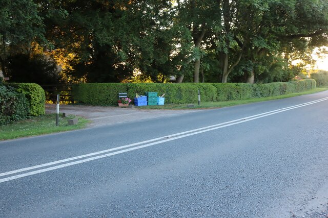
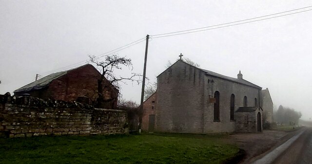
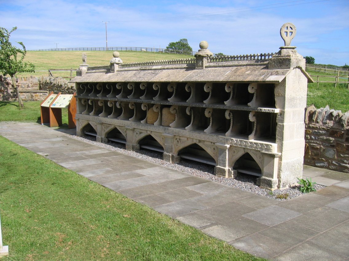
Green Images

Images are sourced within 2km of 51.91019/-2.3368785 or Grid Reference SO7623. Thanks to Geograph Open Source API. All images are credited.

Highleadon (Hartpury) Mill, Highleadon A mill is thought to have existed here since the 12th century. The current building is Grade II Listed and dates from the 18th and early 19th century. There were originally two wheels but this 4.3 metre wheel is the only survivor and was restored in 1982.
Highleadon (Hartpury) Mill, Highleadon
A mill is thought to have existed here since the 12th century. The current building is Grade II Listed and dates from the 18th and early 19th century. There were originally two wheels but this 4.3 metre wheel is the only survivor and was restored in 1982.
The bee shelter, Hartpury This is thought to be a unique 19th century bee shelter that was relocated here in 2002. The church beyond is Grade I listed and although dating from Norman times the surviving structure is mainly from the 14th and 15th centuries with a restoration in 1882.
The bee shelter, Hartpury
This is thought to be a unique 19th century bee shelter that was relocated here in 2002. The church beyond is Grade I listed and although dating from Norman times the surviving structure is mainly from the 14th and 15th centuries with a restoration in 1882.
Hartpury tithe barn Grade II* Listed and dates from the 15th century and once of the Manor of Hartpury. The tower in the background is on the Grade I Listed Hartpury Church.
Hartpury tithe barn
Grade II* Listed and dates from the 15th century and once of the Manor of Hartpury. The tower in the background is on the Grade I Listed Hartpury Church.
Old Chapel, Hartpury Built in 1830 as a roman catholic chapel for use by nuns and their pupils. The chapel was used as a farm store when the nuns left but was renovated as a catholic chapel in 1940 and used for 8 years before reverting to use as a store. It was restored in 2001 and opened as a community hall.
Old Chapel, Hartpury
Built in 1830 as a roman catholic chapel for use by nuns and their pupils. The chapel was used as a farm store when the nuns left but was renovated as a catholic chapel in 1940 and used for 8 years before reverting to use as a store. It was restored in 2001 and opened as a community hall.
Hartpury Court This Grade II Listed building was built by the Cannings of Hartpury House to replace the Old Court House. The Old Court had been used from 1794 to 1839 as a home for English Dominican nuns who opened a school for young ladies. The school closed in 1832.
Hartpury Court
This Grade II Listed building was built by the Cannings of Hartpury House to replace the Old Court House. The Old Court had been used from 1794 to 1839 as a home for English Dominican nuns who opened a school for young ladies. The school closed in 1832.
1641 Battle memorial
Cabin and footpath
Cabin and footpath
The B4215 before Highleadon
Tibberton sunflowers A small field next to Buttermilk Lane. It's still unusual, in 2022, to see sunflower crops in the UK. The effects of climate change may affect the growing of this crop in the UK in the future.
Tibberton sunflowers
A small field next to Buttermilk Lane. It's still unusual, in 2022, to see sunflower crops in the UK. The effects of climate change may affect the growing of this crop in the UK in the future.
Hartpury Mill Hartpury water mill on a leat fed from the River Leadon. The river level was very low following the 2022 dry summer.
Hartpury Mill
Hartpury water mill on a leat fed from the River Leadon. The river level was very low following the 2022 dry summer.
Cross-country obstacles at the European Juniors and Young Riders To the left, the Young Riders jump, to the right the Juniors. The YR obstacle is 'flagged off', indicating that the Juniors class is currently competing.
Cross-country obstacles at the European Juniors and Young Riders
To the left, the Young Riders jump, to the right the Juniors. The YR obstacle is 'flagged off', indicating that the Juniors class is currently competing.
Lake on Hartpury campus Formerly Hartpury College, the University and College provides further and higher education in the agriculture, animal, equine, sport and veterinary nursing sectors.

It is set in a 360-hectare estate located in Hartpury, near Gloucester.

Website <span class="nowrap"><a title="https://www.hartpury.ac.uk" rel="nofollow ugc noopener" href="https://www.hartpury.ac.uk">Link</a><img style="margin-left:2px;" alt="External link" title="External link - shift click to open in new window" src="https://s1.geograph.org.uk/img/external.png" width="10" height="10"/></span>
Wikipedia <span class="nowrap"><a title="https://en.wikipedia.org/wiki/Hartpury_College" rel="nofollow ugc noopener" href="https://en.wikipedia.org/wiki/Hartpury_College">Link</a><img style="margin-left:2px;" alt="External link" title="External link - shift click to open in new window" src="https://s1.geograph.org.uk/img/external.png" width="10" height="10"/></span>
Lake on Hartpury campus
Formerly Hartpury College, the University and College provides further and higher education in the agriculture, animal, equine, sport and veterinary nursing sectors. It is set in a 360-hectare estate located in Hartpury, near Gloucester. Website LinkExternal link Wikipedia LinkExternal link
View from Hartpury House Looking north. On the left is a cross-country fence: in today's event, competitors jump in from the left over the low wall (element A) onto the forecourt of the House, make a sharp left turn and jump out over this fence (element B).
View from Hartpury House
Looking north. On the left is a cross-country fence: in today's event, competitors jump in from the left over the low wall (element A) onto the forecourt of the House, make a sharp left turn and jump out over this fence (element B).
Water jumps at Hartpury International Horse Trials The equestrian sport of Eventing comprises three phases: dressage, showjumping and cross-country, which test horse and rider skills and abilities in different ways. (Both dressage and showjumping exist as competitive disciplines in their own right, but only eventing combines them and cross-country in a single competition). Competitions are called 'horse trials' and take place over one or more days, hence 'one-day event' (ODE), 'three-day event'.

There will usually be several classes at an event, each graded according to difficulty, complexity and/or duration, and run under either national rules (the UK governing body is British Eventing) or international rules (the FEI, or International Equestrian Federation). In the UK there are six levels of affiliated eventing to cater for all levels of horse and rider: BE80(T) (the 'T' stands for Training), BE90 (formerly 'Intro'), BE100 (formerly 'Pre-Novice'), Novice, Intermediate and Advanced. International classes are graded with a star system from * to *****. A five-star competition is the highest level of eventing. There are only seven such competitions in the world, two of which are held in the UK: Badminton in the spring and Burghley in the autumn.

Scoring is on a cumulative penalty basis. In dressage, each movement is scored out of ten, with the total being added up and converted to a penalty. In showjumping, penalties are awarded for fences knocked down and also for exceeding the time limit. In the cross-country phase, penalties are awarded for a variety of infractions such as refusals, falls, circling between lettered obstacles, and exceeding the optimum time. The competitor with the fewest penalties at the end is the winner of the section.

For more information see:
British Eventing website <span class="nowrap"><a title="http://www.britisheventing.com/" rel="nofollow ugc noopener" href="http://www.britisheventing.com/">Link</a><img style="margin-left:2px;" alt="External link" title="External link - shift click to open in new window" src="https://s1.geograph.org.uk/img/external.png" width="10" height="10"/></span>
Eventing entry in Wikipedia <span class="nowrap"><a title="http://en.wikipedia.org/wiki/Eventing" rel="nofollow ugc noopener" href="http://en.wikipedia.org/wiki/Eventing">Link</a><img style="margin-left:2px;" alt="External link" title="External link - shift click to open in new window" src="https://s1.geograph.org.uk/img/external.png" width="10" height="10"/></span>
Water jumps at Hartpury International Horse Trials
The equestrian sport of Eventing comprises three phases: dressage, showjumping and cross-country, which test horse and rider skills and abilities in different ways. (Both dressage and showjumping exist as competitive disciplines in their own right, but only eventing combines them and cross-country in a single competition). Competitions are called 'horse trials' and take place over one or more days, hence 'one-day event' (ODE), 'three-day event'. There will usually be several classes at an event, each graded according to difficulty, complexity and/or duration, and run under either national rules (the UK governing body is British Eventing) or international rules (the FEI, or International Equestrian Federation). In the UK there are six levels of affiliated eventing to cater for all levels of horse and rider: BE80(T) (the 'T' stands for Training), BE90 (formerly 'Intro'), BE100 (formerly 'Pre-Novice'), Novice, Intermediate and Advanced. International classes are graded with a star system from * to *****. A five-star competition is the highest level of eventing. There are only seven such competitions in the world, two of which are held in the UK: Badminton in the spring and Burghley in the autumn. Scoring is on a cumulative penalty basis. In dressage, each movement is scored out of ten, with the total being added up and converted to a penalty. In showjumping, penalties are awarded for fences knocked down and also for exceeding the time limit. In the cross-country phase, penalties are awarded for a variety of infractions such as refusals, falls, circling between lettered obstacles, and exceeding the optimum time. The competitor with the fewest penalties at the end is the winner of the section. For more information see: British Eventing website LinkExternal link Eventing entry in Wikipedia LinkExternal link
Hartpury Tithe Barn
Hartpury Tithe Barn
The Old Chapel at Hartpury Court
Show me another place!

Green is located at Grid Ref: SO7623 (Lat: 51.91019, Lng: -2.3368785)

Administrative County: Gloucestershire

District: Forest of Dean

Police Authority: Gloucestershire

What 3 Words

///winded.squeaking.contoured. Near Newent, Gloucestershire

Related Wikis

Nearby Amenities

Located within 500m of 51.91019,-2.3368785
Highleadon
Is In: Gloucestershire, England, UK
Place: village
Lat/Long: 51.9080206/-2.3347403
Bus Stop
Court Cottages
Naptan AtcoCode: 1600GL2471
Naptan Bearing: NW
Naptan CommonName: Court Cottages
Naptan NaptanCode: gloatatw
Naptan Street: Upleadon Rd
Naptan Verified: no
Source: naptan_import
Lat/Long: 51.9115566/-2.3382968
Bus Stop
Court Cottages
Naptan AtcoCode: 1600GL2472
Naptan Bearing: SE
Naptan CommonName: Court Cottages
Naptan Indicator: Opp
Naptan NaptanCode: gloatawg
Naptan Street: Upleadon Rd
Naptan Verified: no
Source: naptan_import
Lat/Long: 51.9114675/-2.3379909
Bus Stop
Upleadon Turn
Naptan AtcoCode: 1600GL2477
Naptan Bearing: NW
Naptan CommonName: Upleadon Turn
Naptan Indicator: Opp
Naptan NaptanCode: gloatdgm
Naptan Street: Main Rd B4215
Naptan Verified: no
Source: naptan_import
Lat/Long: 51.9070416/-2.3356463
Bus Stop
Upleadon Turn
Naptan AtcoCode: 1600GL2478
Naptan Bearing: SE
Naptan CommonName: Upleadon Turn
Naptan NaptanCode: gloatdgt
Naptan Street: Main Rd B4215
Naptan Verified: no
Source: naptan_import
Lat/Long: 51.9069077/-2.3353255
Bus Stop
Layne's Farm
Naptan AtcoCode: 1600GLF031
Naptan Bearing: NW
Naptan CommonName: Layne's Farm
Naptan NaptanCode: gloatagt
Naptan Street: B4215
Naptan Verified: no
Source: naptan_import
Lat/Long: 51.9110472/-2.3434394
Bus Stop
Layne's Farm
Naptan AtcoCode: 1600GLF032
Naptan Bearing: SE
Naptan CommonName: Layne's Farm
Naptan Indicator: Opp
Naptan NaptanCode: gloatajd
Naptan Street: B4215
Naptan Verified: no
Source: naptan_import
Lat/Long: 51.9109585/-2.3430026
Bus Stop
Highleadon Green
Naptan AtcoCode: 1600GLN091
Naptan Bearing: N
Naptan CommonName: Highleadon Green
Naptan NaptanCode: glogmadt
Naptan Street: Upleadon Road
Naptan Verified: no
Source: naptan_import
Lat/Long: 51.9076164/-2.3358832
Bus Stop
Highleadon Green
Naptan AtcoCode: 1600GLN092
Naptan Bearing: S
Naptan CommonName: Highleadon Green
Naptan NaptanCode: glogmadw
Naptan Street: Upleadon Road
Naptan Verified: no
Source: naptan_import
Lat/Long: 51.9076438/-2.3357381
Post Box
Ref: GL18 351
Lat/Long: 51.9099447/-2.3363002
Layne's Farm
Power: pole
Transformer: distribution
Voltage Primary: 11000
Lat/Long: 51.9114559/-2.3433816
Power: pole
Lat/Long: 51.9119878/-2.3424918
Power: pole
Lat/Long: 51.9125677/-2.3415463
Power: pole
Lat/Long: 51.9130182/-2.3408208
Red Hill South
Power: pole
Transformer: distribution
Voltage Primary: 11000
Lat/Long: 51.9134608/-2.3401006
Power: pole
Lat/Long: 51.9136411/-2.3398163
Power: pole
Lat/Long: 51.9140452/-2.3385081
Power: pole
Lat/Long: 51.9144489/-2.3372045
Power: pole
Lat/Long: 51.9137561/-2.3369168
Power: pole
Lat/Long: 51.9130563/-2.3366325
Power: pole
Lat/Long: 51.9123928/-2.336363
Power: pole
Lat/Long: 51.9116044/-2.3360518
Power: pole
Lat/Long: 51.9111597/-2.3358735
Highleadon North
Power: pole
Transformer: distribution
Voltage Primary: 11000
Lat/Long: 51.9109653/-2.3357923
Power: pole
Lat/Long: 51.9105678/-2.3353934
Power: pole
Lat/Long: 51.9102348/-2.3351271
Power: pole
Lat/Long: 51.9100892/-2.3351466
Power: pole
Lat/Long: 51.9097545/-2.3348965
Whitehouse Sewage Pump
Power: pole
Transformer: distribution
Voltage Primary: 11000
Lat/Long: 51.9102827/-2.33297
Power: pole
Lat/Long: 51.9099295/-2.3329787
Power: pole
Lat/Long: 51.9096515/-2.3334702
Power: pole
Lat/Long: 51.9093371/-2.3340368
Greenway Sewage Pump
Power: pole
Transformer: distribution
Voltage Primary: 11000
Lat/Long: 51.9081002/-2.3377235
Power: pole
Lat/Long: 51.9083964/-2.3371656
Power: pole
Lat/Long: 51.9090372/-2.3365668
Power: pole
Lat/Long: 51.9095621/-2.336088
Power: pole
Lat/Long: 51.9095051/-2.3355637
Power: pole
Lat/Long: 51.9094066/-2.3346531
Green Farm
Power: pole
Transformer: distribution
Voltage Primary: 11000
Lat/Long: 51.9093549/-2.3346242
Power: pole
Lat/Long: 51.9088271/-2.3347034
New House Farm Highleadon
Power: pole
Transformer: distribution
Voltage Primary: 11000
Lat/Long: 51.9059747/-2.3393141
Power: pole
Lat/Long: 51.9061414/-2.338205
Power: pole
Lat/Long: 51.9063131/-2.3371234
Rose Villa
Power: pole
Transformer: distribution
Voltage Primary: 11000
Lat/Long: 51.9071835/-2.3364796
Power: pole
Lat/Long: 51.9066279/-2.3365702
Power: pole
Lat/Long: 51.9069845/-2.3359036
Power: pole
Lat/Long: 51.9072344/-2.3354571
Highleadon South
Power: pole
Transformer: distribution
Voltage Primary: 11000
Lat/Long: 51.9071086/-2.3346739
Power: pole
Lat/Long: 51.9074991/-2.3350011
Power: pole
Lat/Long: 51.9079633/-2.3341562
Power: pole
Lat/Long: 51.9073006/-2.3337579
Power: pole
Lat/Long: 51.906781/-2.3331504
The data included in this document is from www.openstreetmap.org. The data is made available under ODbL.

Have you been to Green?

Leave your review of Green below (or comments, questions and feedback).