Cnoc Glas Blàr nam Fiadhag
Hill, Mountain in Sutherland
Scotland
Cnoc Glas Blàr nam Fiadhag

Cnoc Glas Blàr nam Fiadhag, located in Sutherland, Scotland, is a prominent hill/mountain that stands at an elevation of approximately 635 meters (2,083 feet). It is situated in the northern part of the country, within the Assynt region. The name Cnoc Glas Blàr nam Fiadhag translates to "Green Hill of the Flat of the Fiaclach," reflecting the Gaelic heritage of the area.
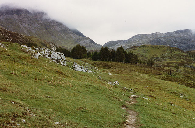
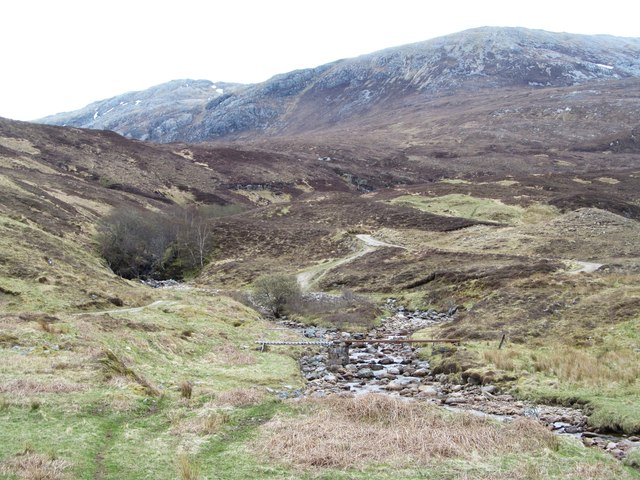
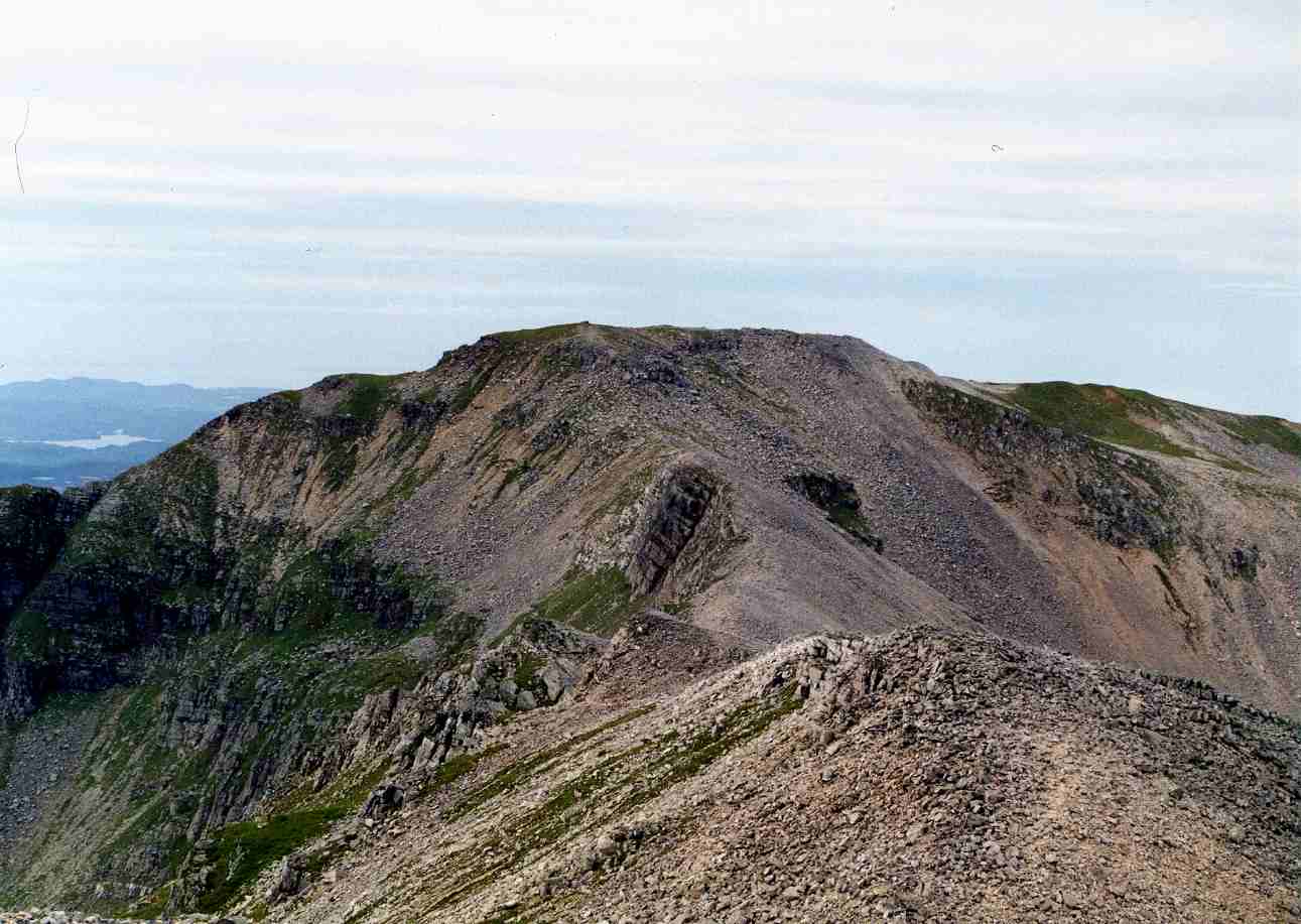
The hill/mountain is characterized by its distinct conical shape, with steep slopes covered in heather, grass, and scattered rocks. It is part of the wider mountain range known as the Northwest Highlands, which is renowned for its dramatic landscapes and rugged beauty.
Cnoc Glas Blàr nam Fiadhag offers breathtaking panoramic views of the surrounding countryside, including the nearby lochs, such as Loch Assynt and Loch Glencoul. On clear days, it is possible to see the coastal cliffs and the vast expanse of the Atlantic Ocean.
The hill/mountain attracts outdoor enthusiasts, hikers, and mountaineers, who are drawn to its challenging terrain and stunning vistas. There are several routes that lead to the summit, varying in difficulty and length. The ascent often involves navigating through rocky paths and steep gradients but rewards climbers with unparalleled views of the surrounding wilderness.
Cnoc Glas Blàr nam Fiadhag is a significant landmark in the area, contributing to the wild and untamed charm that characterizes the Scottish Highlands. Its natural beauty and ruggedness make it a popular destination for those seeking outdoor adventures and a chance to connect with nature.
If you have any feedback on the listing, please let us know in the comments section below.
Cnoc Glas Blàr nam Fiadhag Images
Images are sourced within 2km of 58.137274/-4.9611106 or Grid Reference NC2520. Thanks to Geograph Open Source API. All images are credited.


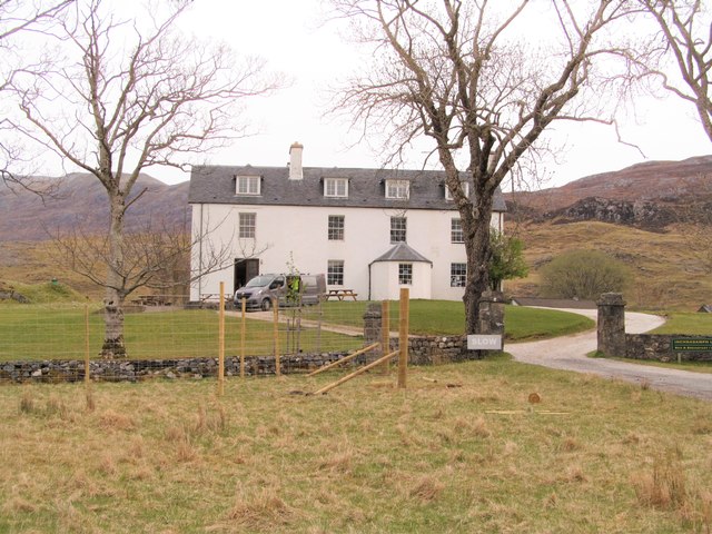
![Former Assynt Parish Church The former Assynt Parish Church sits at the eastern end of Loch Assynt at Inchnadamph. The churchyard and the medieval MacLeod Vault are a Scheduled Monument [<span class="nowrap"><a title="http://portal.historicenvironment.scot/designation/SM8309" rel="nofollow ugc noopener" href="http://portal.historicenvironment.scot/designation/SM8309">Link</a><img style="margin-left:2px;" alt="External link" title="External link - shift click to open in new window" src="https://s1.geograph.org.uk/img/external.png" width="10" height="10"/></span>], while the church is Category B listed [<span class="nowrap"><a title="http://portal.historicenvironment.scot/designation/LB44967" rel="nofollow ugc noopener" href="http://portal.historicenvironment.scot/designation/LB44967">Link</a><img style="margin-left:2px;" alt="External link" title="External link - shift click to open in new window" src="https://s1.geograph.org.uk/img/external.png" width="10" height="10"/></span>].The distinctive Quinag is in the distance.](https://s1.geograph.org.uk/geophotos/05/74/54/5745413_e863f990.jpg)


Cnoc Glas Blàr nam Fiadhag is located at Grid Ref: NC2520 (Lat: 58.137274, Lng: -4.9611106)
Unitary Authority: Highland
Police Authority: Highlands and Islands
What 3 Words
///forks.tuned.flopping. Near Inchnadamph, Highland
Nearby Locations
Related Wikis

Inchnadamph
Inchnadamph is a hamlet in Assynt, Sutherland, Scotland. The name is an anglicisation of the Gaelic name Innis nan Damh meaning 'meadow of the stags'....

Ardvreck Castle
Ardvreck Castle is a castle, now ruinous, standing on a rocky promontory in Loch Assynt, Sutherland, Scotland, UK. The structure dates from about 1490...

Uamh an Claonaite
Uamh an Claonaite (Scottish Gaelic: Cave of the sloping rock) is the longest cave in Scotland. It consists of a series of dry passages and a series of...
Conival
Conival (Scottish Gaelic: Cona Mheall) is a Scottish mountain situated in Assynt in the Sutherland area of the Highland Council Area, thirty kilometres...
Have you been to Cnoc Glas Blàr nam Fiadhag?
Leave your review of Cnoc Glas Blàr nam Fiadhag below (or comments, questions and feedback).