Bearah Tor
Hill, Mountain in Cornwall
England
Bearah Tor
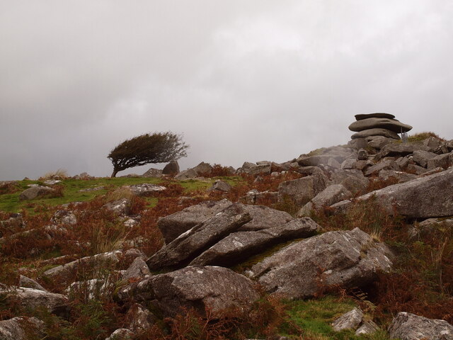
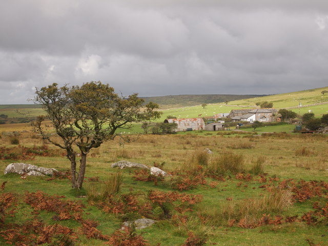
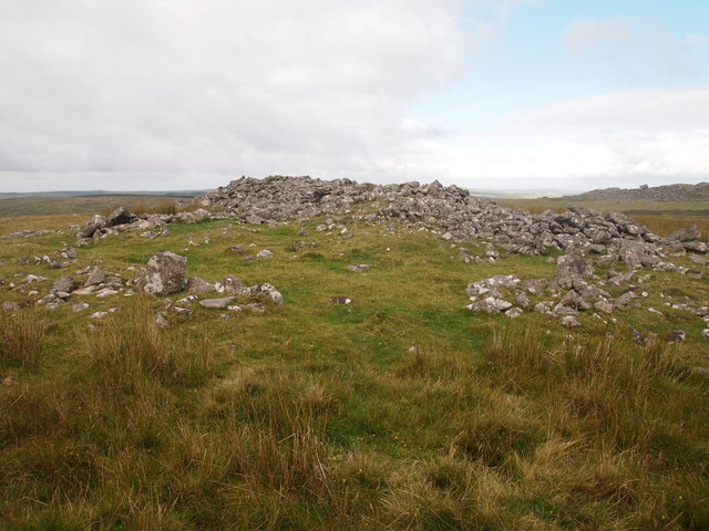
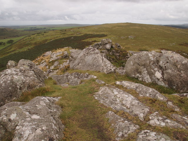
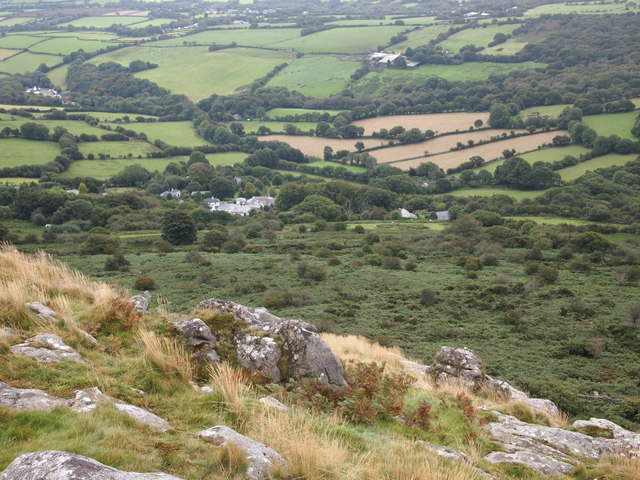
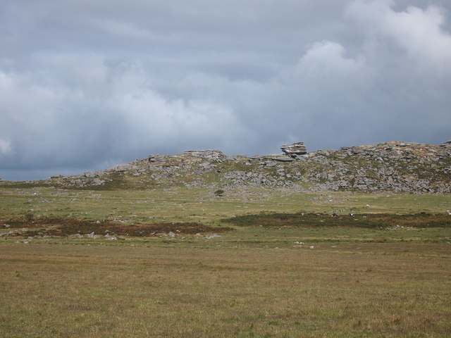
Bearah Tor is a prominent hill located in Cornwall, England. Situated in the southwestern part of the county, near the village of St. Breward, it is part of the Bodmin Moor Area of Outstanding Natural Beauty. Rising to an elevation of approximately 1,345 feet (410 meters), Bearah Tor offers breathtaking panoramic views of the surrounding countryside.
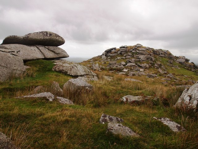
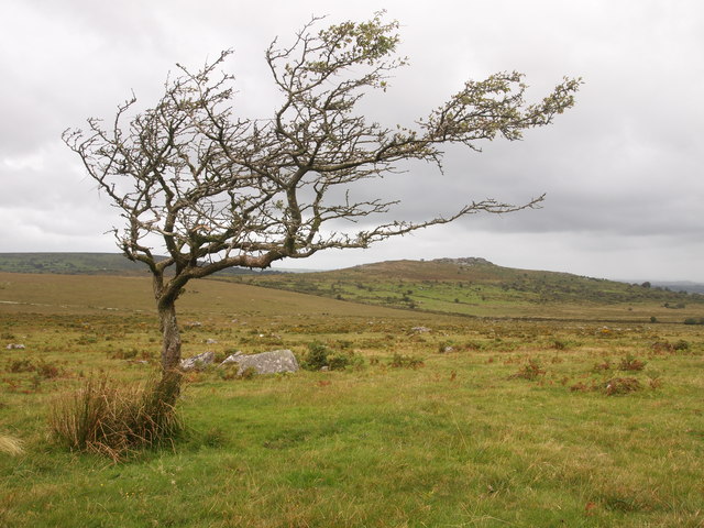
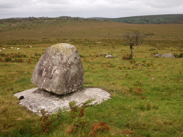
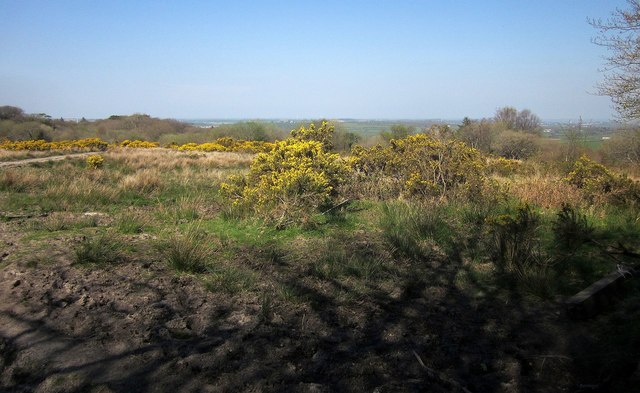
The hill is composed mainly of granite, which is a characteristic feature of the Bodmin Moor region. Its rugged and rocky terrain is dotted with heather and gorse, creating a picturesque landscape that attracts nature enthusiasts and hikers alike. The area is also home to a diverse range of flora and fauna, including ponies and various bird species.
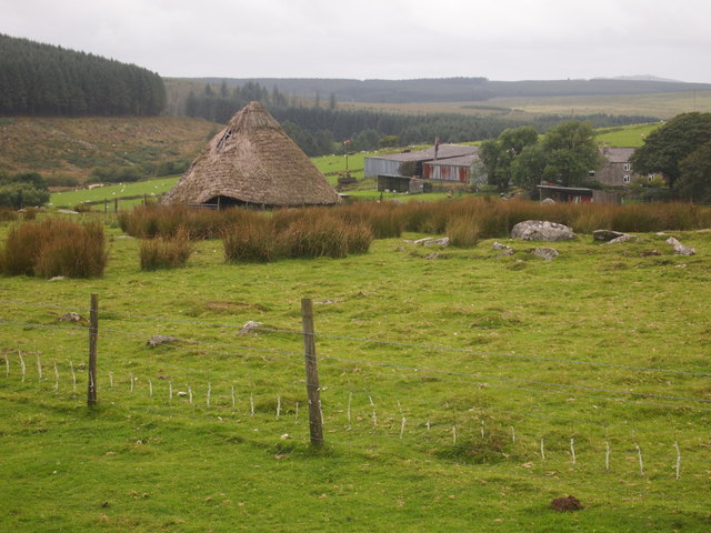
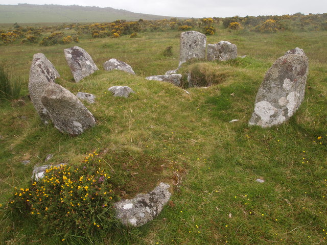
Bearah Tor has a rich history dating back to the Neolithic period. The hill is believed to have served as a vantage point and a place of spiritual significance for the early inhabitants of the region. Today, evidence of ancient settlements and burial mounds can still be found in the vicinity.
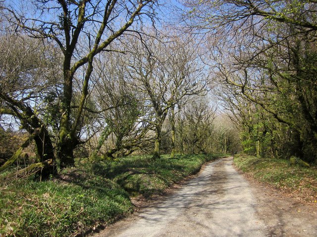
As a popular hiking destination, Bearah Tor offers several trails and footpaths for visitors to explore. The climb to the summit is moderately challenging, but the rewarding views make it well worth the effort. On a clear day, one can see as far as the coast and even spot landmarks such as the iconic Brown Willy, the highest point in Cornwall.
Overall, Bearah Tor is a captivating natural landmark in Cornwall, offering a glimpse into the region's ancient past and providing an unforgettable outdoor experience for those who venture to its summit.
If you have any feedback on the listing, please let us know in the comments section below.
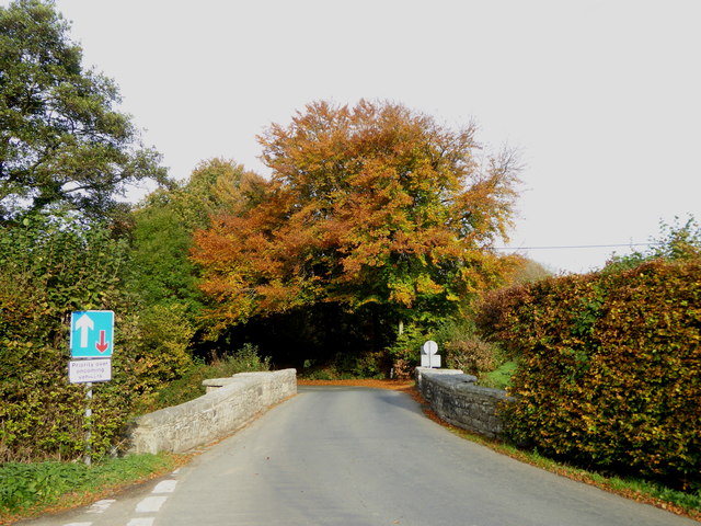
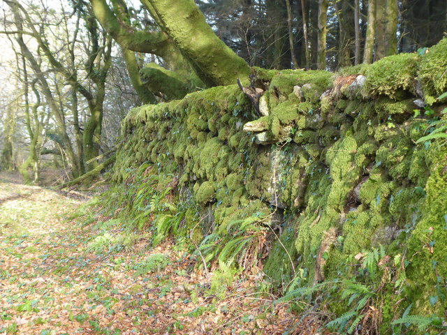
Bearah Tor Images
Images are sourced within 2km of 50.543845/-4.460553 or Grid Reference SX2574. Thanks to Geograph Open Source API. All images are credited.
Bearah Tor is located at Grid Ref: SX2574 (Lat: 50.543845, Lng: -4.460553)
Unitary Authority: Cornwall
Police Authority: Devon and Cornwall
What 3 Words
///rely.stockpile.jetliner. Near North Hill, Cornwall
Nearby Locations
Related Wikis

Kilmar Tor
Kilmar Tor (Cornish: Kil Margh) is an elongated hill, 396 metres (1,299 ft) high and running from SW to NE, on Bodmin Moor in the county of Cornwall, England...

Sharptor
Sharptor is a hamlet west of Henwood in the civil parish of Linkinhorne in east Cornwall, England, United Kingdom. It is named after Sharp Tor on Bodmin...

Kingbeare
Kingbeare is a hamlet in the parish of North Hill, Cornwall, England. == References ==

Henwood, Cornwall
Henwood is a hamlet in the civil parish of Linkinhorne in east Cornwall, England. Henwood is on the edge of Bodmin Moor and situated between Stowe's Hill...
Nearby Amenities
Located within 500m of 50.543845,-4.460553Have you been to Bearah Tor?
Leave your review of Bearah Tor below (or comments, questions and feedback).