Meall nan Dearcag
Hill, Mountain in Inverness-shire
Scotland
Meall nan Dearcag

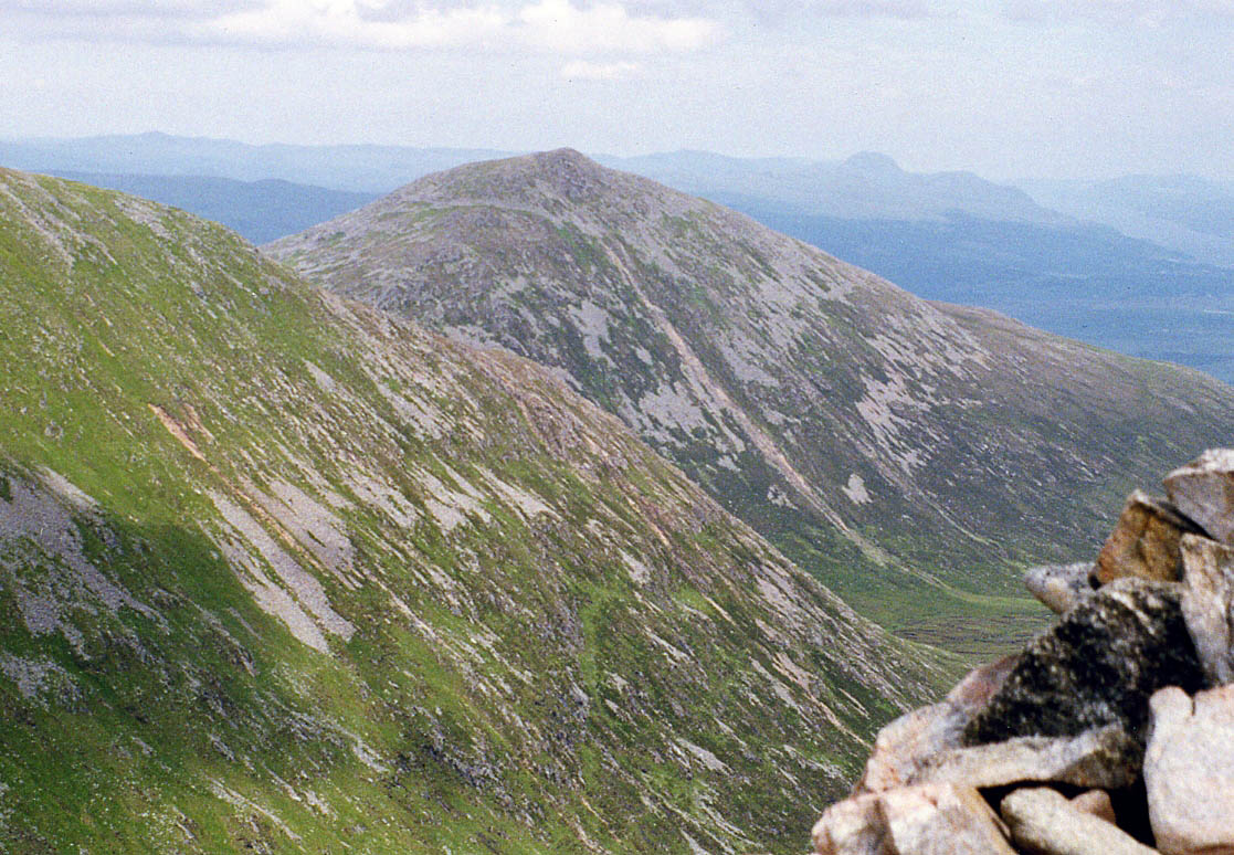
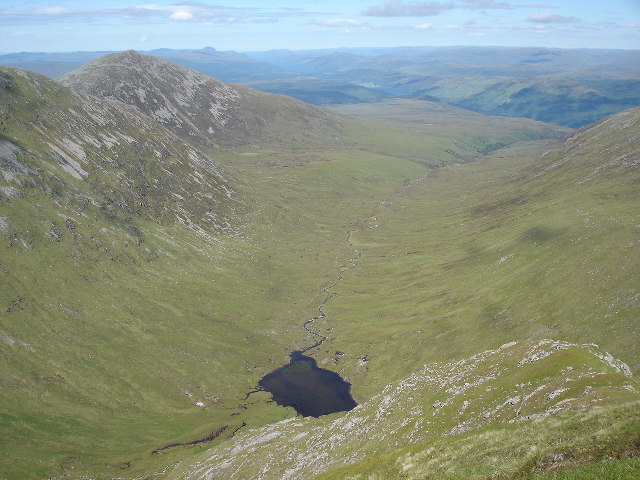
Meall nan Dearcag is a prominent hill located in Inverness-shire, a historic county in the Highlands of Scotland. It lies approximately 18 miles southwest of the city of Inverness and forms part of the Monadhliath Mountains. Meall nan Dearcag stands at an elevation of 710 meters (2,329 feet) and offers breathtaking panoramic views of the surrounding landscape.
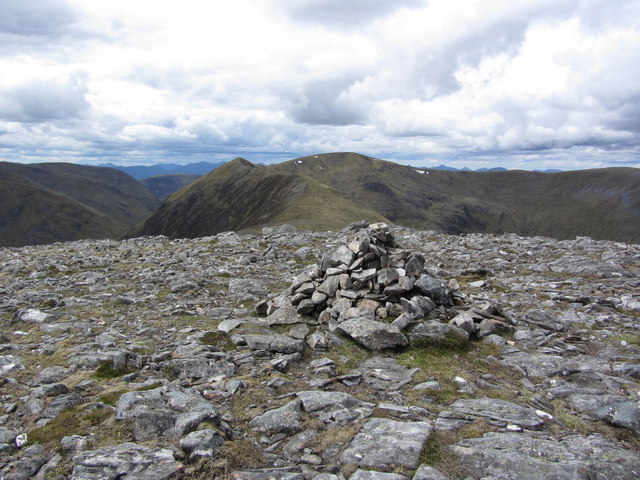
The hill is well-known for its distinct shape, resembling a sharp ridge or a saw blade, which has earned it the nickname "The Sawtooth." It is primarily composed of rugged and rocky terrain, making it a challenging yet rewarding destination for hikers and mountaineers. It is often included in the route for those attempting the Monadhliath 4, a popular hillwalking challenge in the area.
The ascent to the summit of Meall nan Dearcag can be demanding, but the awe-inspiring vistas at the top make it well worth the effort. On clear days, visitors can enjoy sweeping views of the neighboring mountains, including Carn Dearg and Carn Sgulain. The hill also provides a vantage point to observe the vast expanse of the Monadhliath Plateau stretching out to the east.
Nature enthusiasts will appreciate the diverse flora and fauna found on Meall nan Dearcag. The hill is home to various species of birds, including the golden eagle, as well as rare alpine plants that thrive in the challenging mountain environment.
Overall, Meall nan Dearcag offers a thrilling adventure for outdoor enthusiasts seeking to conquer its formidable slopes and soak in the breathtaking beauty of the Scottish Highlands.
If you have any feedback on the listing, please let us know in the comments section below.
Meall nan Dearcag Images
Images are sourced within 2km of 57.016206/-4.8730117 or Grid Reference NN2595. Thanks to Geograph Open Source API. All images are credited.


Meall nan Dearcag is located at Grid Ref: NN2595 (Lat: 57.016206, Lng: -4.8730117)
Unitary Authority: Highland
Police Authority: Highlands and Islands
What 3 Words
///spokes.endearing.estate. Near Gairlochy, Highland
Nearby Locations
Related Wikis
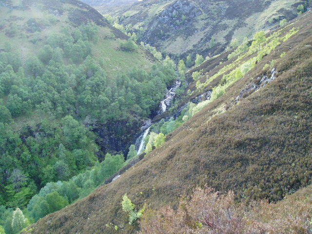
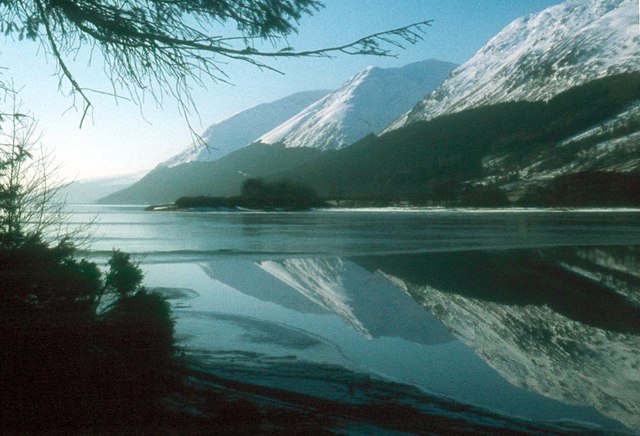
Kilfinnan Fall
Kilfinnan Fall is a waterfall of Scotland. == See also == Waterfalls of Scotland == References ==
Ben Tee
Ben Tee (Scottish Gaelic: Beinn an t-Sìthidh) is a Scottish mountain situated in the Lochaber area of the Highland council area, some 15 kilometres north...
Coire Glas power station
Coire Glas power station is a proposed 1.3GW pumped storage hydroelectric power station in the Scottish Highlands. If built, it will double the UK's ability...

Sròn a' Choire Ghairbh
Sròn a’ Choire Ghairbh is a Scottish mountain situated on the northern side of Loch Lochy, 13 kilometres north of Spean Bridge in the Highland Council...
Nearby Amenities
Located within 500m of 57.016206,-4.8730117Have you been to Meall nan Dearcag?
Leave your review of Meall nan Dearcag below (or comments, questions and feedback).