Berry Hill
Hill, Mountain in Ayrshire
Scotland
Berry Hill
Berry Hill is a prominent hill located in Ayrshire, Scotland. Situated near the town of Ayr, it is part of the southern uplands of the region. With an elevation of approximately 333 meters (1,093 feet), Berry Hill offers stunning panoramic views of the surrounding countryside and coastline.
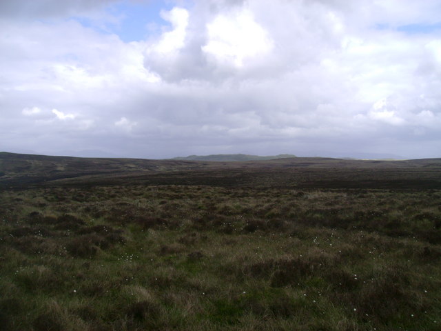
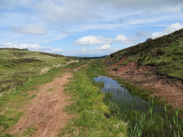
The hill is renowned for its natural beauty and is a popular destination for outdoor enthusiasts. It features a variety of walking and hiking trails, making it an ideal location for nature lovers and those seeking a peaceful escape from the bustling city life. The trails are well-maintained and offer a range of difficulty levels, catering to both experienced hikers and beginners.
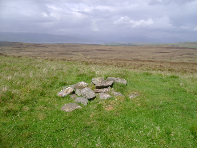
Visitors to Berry Hill can expect to encounter diverse flora and fauna along the way, including heather, gorse, and various species of birds. The hill also boasts a rich historical heritage, with traces of ancient settlements and burial sites that date back thousands of years.
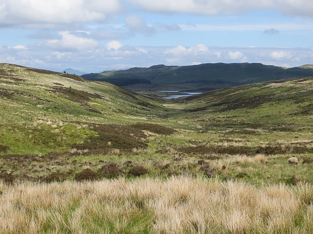
The summit of Berry Hill provides an excellent vantage point, offering breathtaking views of the Ayrshire countryside, the Firth of Clyde, and even the distant peaks of the Isle of Arran on a clear day. It is a popular spot for photographers and artists looking to capture the natural beauty of the area.
Overall, Berry Hill in Ayrshire offers a unique blend of natural beauty, historical significance, and outdoor adventure, making it an attractive destination for locals and tourists alike.
If you have any feedback on the listing, please let us know in the comments section below.
Berry Hill Images
Images are sourced within 2km of 55.883147/-4.811029 or Grid Reference NS2469. Thanks to Geograph Open Source API. All images are credited.


Berry Hill is located at Grid Ref: NS2469 (Lat: 55.883147, Lng: -4.811029)
Unitary Authority: North Ayrshire
Police Authority: Ayrshire
What 3 Words
///arrow.sedative.cupcake. Near Inverkip, Inverclyde
Nearby Locations
Related Wikis

Loch Thom
Loch Thom is a reservoir which since 1827 has provided a water supply to the town of Greenock in Inverclyde, Scotland. It is named after the civil engineer...

Inverclyde (UK Parliament constituency)
Inverclyde is a parliamentary constituency of the House of Commons of the Parliament of the United Kingdom. It replaced Greenock and Inverclyde and the...

Inverclyde
Inverclyde (Scots: Inerclyde, Scottish Gaelic: Inbhir Chluaidh, pronounced [iɲiɾʲˈxl̪ˠuəj], "mouth of the Clyde") is one of 32 council areas used for local...

Inverkip
Inverkip (; Scottish Gaelic: Inbhir Chip) is a village and parish in the Inverclyde council area and historic county of Renfrewshire in the west central...

Inverkip railway station
Inverkip railway station is a railway station serving the village of Inverkip, Inverclyde, Scotland. The station is managed by ScotRail and is on the Inverclyde...

Wemyss Bay
Wemyss Bay ( ) is a village on the coast of the Firth of Clyde in Inverclyde in the west central Lowlands of Scotland. It is in the traditional county...

Gryffe Reservoirs
The Gryffe Reservoirs, also spelled 'Gryfe', take their name from the River Gryffe, name deriving from the Gaelic garbh meaning "rough stream". are two...
Wemyss Bay railway station
Wemyss Bay railway station serves the village of Wemyss Bay, Inverclyde, Scotland. The station is a terminus on the Inverclyde Line, about 26 miles (42...
Have you been to Berry Hill?
Leave your review of Berry Hill below (or comments, questions and feedback).