Bank Hill

Hill, Mountain in Wigtownshire

Scotland

Bank Hill

Drumpail Burn
Drumpail Burn Credit: Richard Webb

The requested URL returned error: 429 Too Many Requests

If you have any feedback on the listing, please let us know in the comments section below.
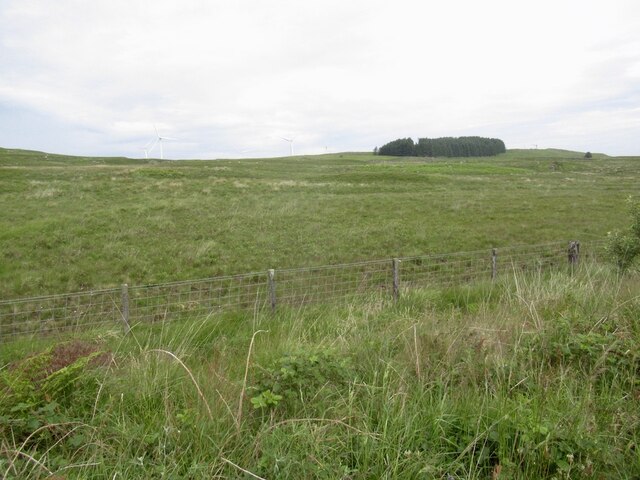
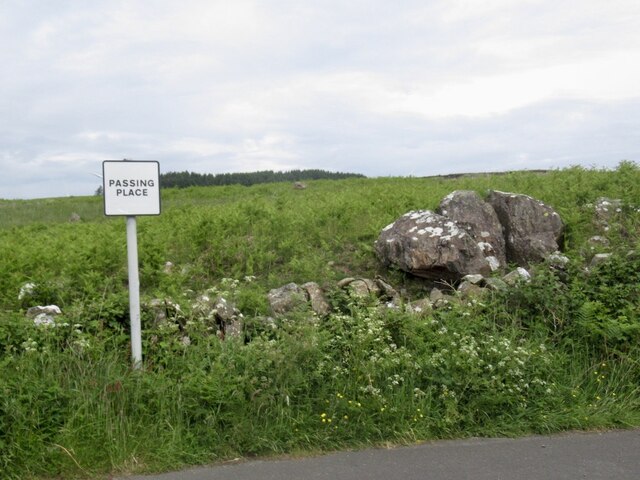
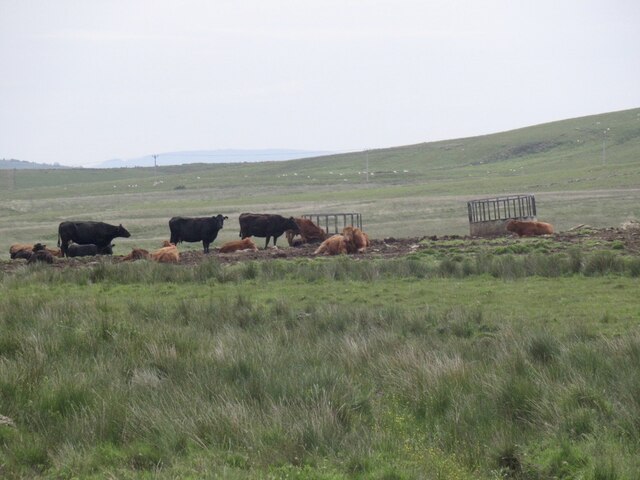
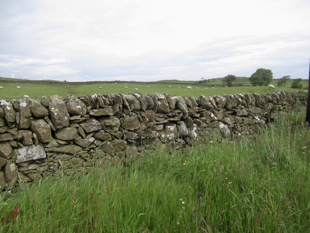
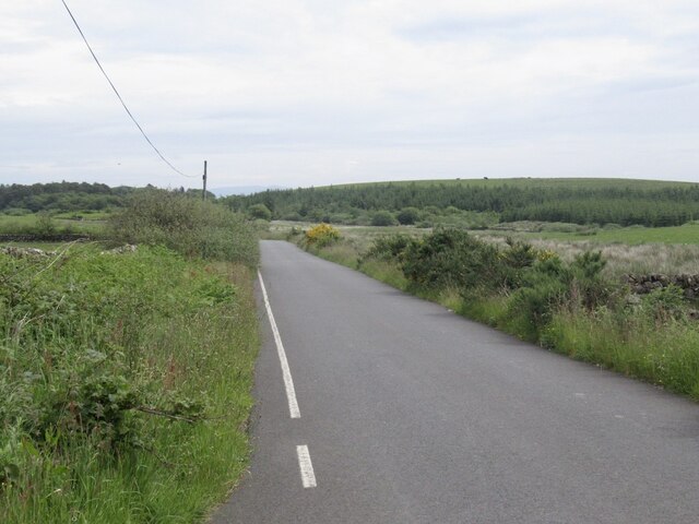
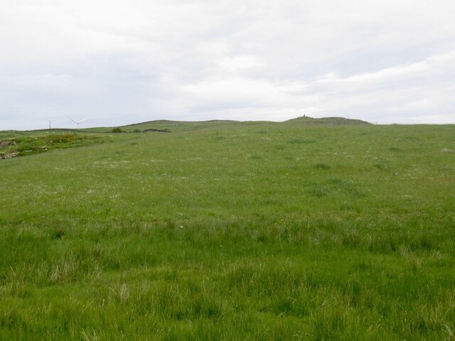
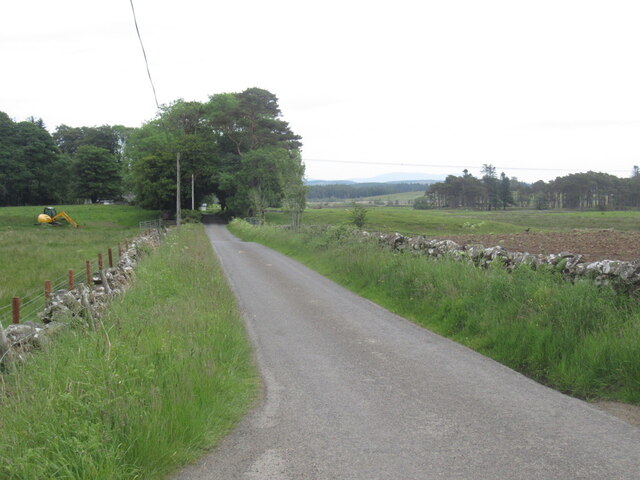
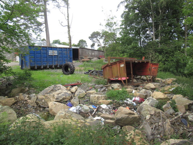
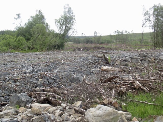
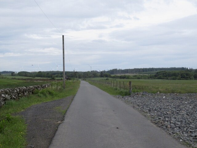
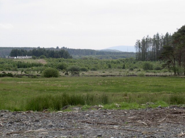
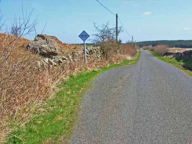
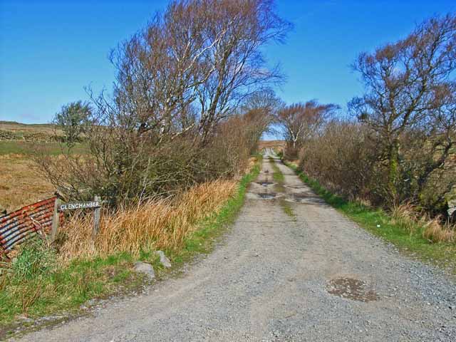
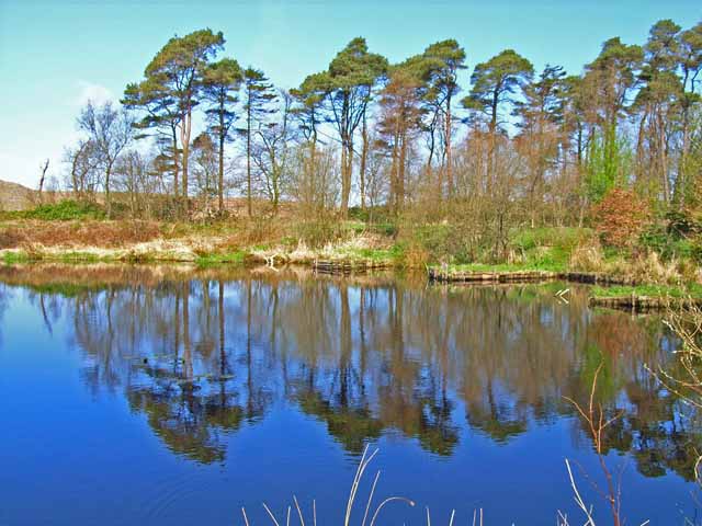
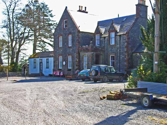
Bank Hill Images

Images are sourced within 2km of 54.935974/-4.753955 or Grid Reference NX2363. Thanks to Geograph Open Source API. All images are credited.

Drumpail Burn
Drumpail Burn
Rough grazing, Drumphail
Passing place and boulder Road out into the rough stuff out of Glenluce.
Passing place and boulder
Road out into the rough stuff out of Glenluce.
Cattle and ring feeders
Roadside dyke On the Glenluce to Torwood road.
Roadside dyke
On the Glenluce to Torwood road.
Glenluce to Torwood road
View towards Cairn Park Near Torwood
View towards Cairn Park
Near Torwood
Road, Torwood
Road, Torwood
Gass Farm
Gass Farm
Flow Wood After a clear fell.
Flow Wood
After a clear fell.
Road towards the Three Lochs From Glenluce.
Road towards the Three Lochs
From Glenluce.
View towards Mark of Lochronald
Drumpail Burn Seen from the bridge on the road from Glenluce to the Moors
Drumpail Burn
Seen from the bridge on the road from Glenluce to the Moors
Passing place On the road from Glenluce to the Moors
Passing place
On the road from Glenluce to the Moors
The road to Glenchamber
Fishing lake at Torwood House Country Hotel Set in the wilds of the Wigtownshire Moors, miles from anywhere.
Fishing lake at Torwood House Country Hotel
Set in the wilds of the Wigtownshire Moors, miles from anywhere.
Torwood House Country Hotel An old hunting lodge set in the wilds of the Wigtownshire Moors, miles from anywhere. <span class="nowrap"><a title="http://www.torwoodhotel-and-logcabins.com/" rel="nofollow ugc noopener" href="http://www.torwoodhotel-and-logcabins.com/">Link</a><img style="margin-left:2px;" alt="External link" title="External link - shift click to open in new window" src="https://s1.geograph.org.uk/img/external.png" width="10" height="10"/></span>
Torwood House Country Hotel
An old hunting lodge set in the wilds of the Wigtownshire Moors, miles from anywhere. LinkExternal link
Drumpail Bridge On the road from Glenluce to the Moors
Drumpail Bridge
On the road from Glenluce to the Moors
Show me another place!

Bank Hill is located at Grid Ref: NX2363 (Lat: 54.935974, Lng: -4.753955)

Unitary Authority: Dumfries and Galloway

Police Authority: Dumfries and Galloway

What 3 Words

///breathing.dugouts.adapt. Near Cairnryan, Dumfries & Galloway

Nearby Locations

Bank Hill

Related Wikis

Tarf Water, Wigtownshire

The Tarf Water is a river in the former county of Wigtownshire in south-west Scotland. It rises on the Ayrshire border (55.0048°N 4.7815°W / 55.0048;...

Barhapple Loch

Barhapple Loch is a small semicircular freshwater loch located in Wigtownshire, Dumfries and Galloway in Scotland. Barhapple Loch is principally known...

Mid Gleniron

Mid Gleniron is a prehistoric site in Dumfries and Galloway used in the Neolithic and Bronze Age. The site is a scheduled ancient monument that comprises...

New Luce

New Luce (Scottish Gaelic: Baile Ùr Ghlinn Lus) is a civil parish in Dumfries and Galloway, south-west Scotland. It lies in the traditional county of Wigtownshire...

Nearby Amenities

Located within 500m of 54.935974,-4.753955
Power: pole
Lat/Long: 54.9396943/-4.7498188
Power: pole
Lat/Long: 54.9390955/-4.7509222
Power: pole
Lat/Long: 54.9386289/-4.7517627
The data included in this document is from www.openstreetmap.org. The data is made available under ODbL.

Have you been to Bank Hill?

Leave your review of Bank Hill below (or comments, questions and feedback).