Green Top
Hill, Mountain in Wigtownshire
Scotland
Green Top
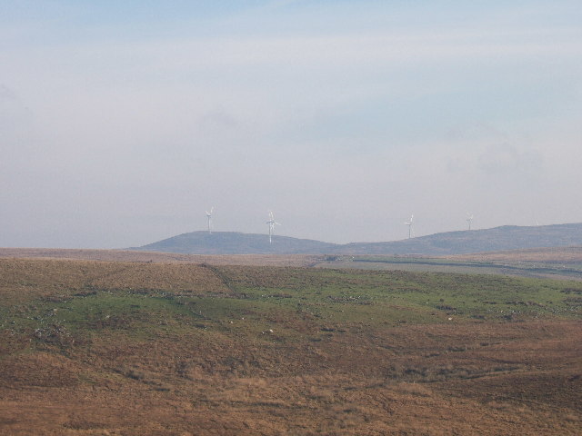
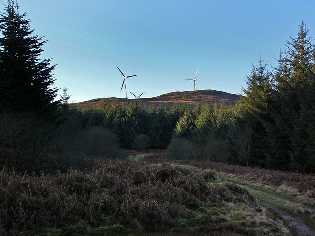
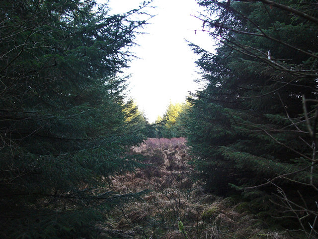
Green Top is a prominent hill located in Wigtownshire, a region in southwestern Scotland. Rising to an elevation of approximately 376 meters (1,234 feet), it is considered one of the notable landmarks in the area. This hill is situated in a rural setting, surrounded by picturesque countryside and offering breathtaking panoramic views of the surrounding landscape.
The terrain of Green Top is characterized by its rolling slopes and grassy meadows, which provide a vibrant green carpet during the summer months. The hill is composed mainly of sedimentary rocks, including sandstone and shale, which have been shaped and sculpted over millions of years by natural processes such as erosion and weathering.
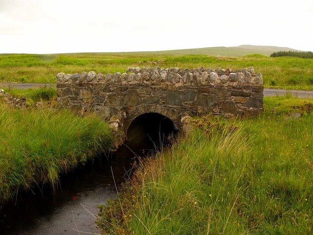
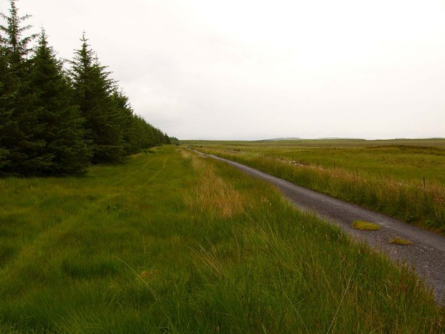
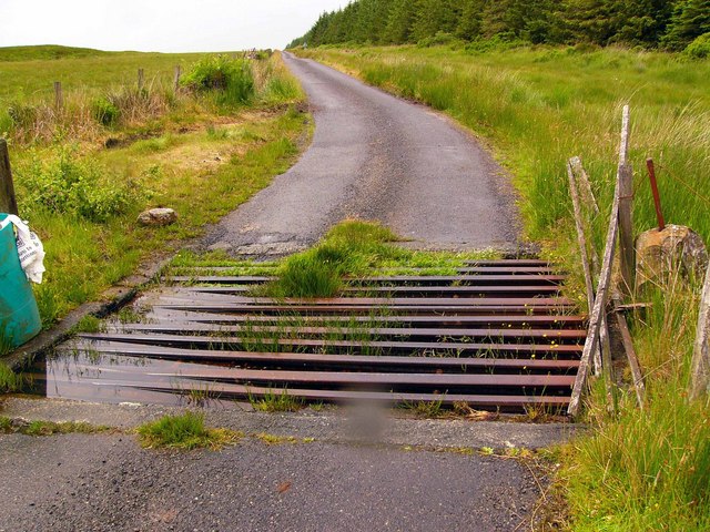
Green Top is popular among both locals and tourists due to its accessibility and natural beauty. It offers a range of outdoor activities, including hiking and nature walks, attracting outdoor enthusiasts and nature lovers alike. The hill boasts a network of well-maintained trails that lead visitors through its enchanting woodlands and open fields, providing opportunities to spot various species of birds and other wildlife.
Aside from its natural charm, Green Top also holds historical significance. It is said to have played a role in local folklore and legends, adding to its allure. Additionally, the hill has been the subject of artistic inspiration, with painters and photographers often capturing its majestic silhouette against the backdrop of the Scottish sky.
In summary, Green Top is a captivating hill in Wigtownshire, offering visitors a chance to immerse themselves in the beauty of the Scottish countryside. With its stunning vistas, diverse flora and fauna, and rich history, it is a must-visit destination for nature enthusiasts and those seeking a tranquil escape.
If you have any feedback on the listing, please let us know in the comments section below.
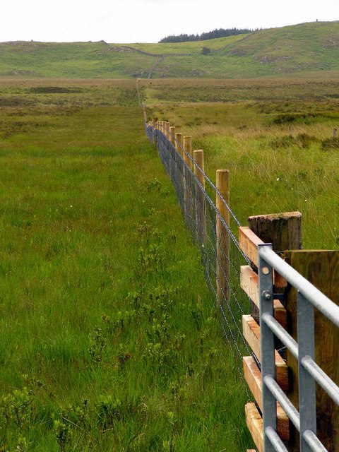
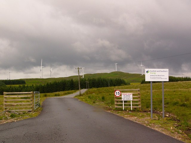
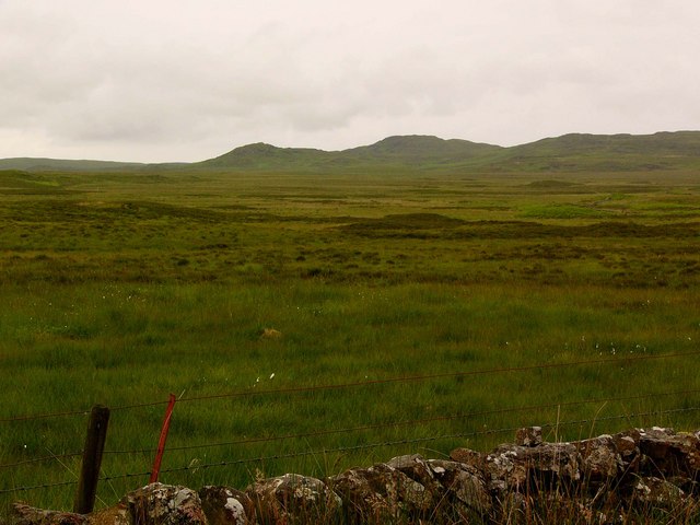
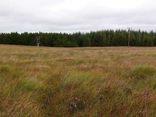
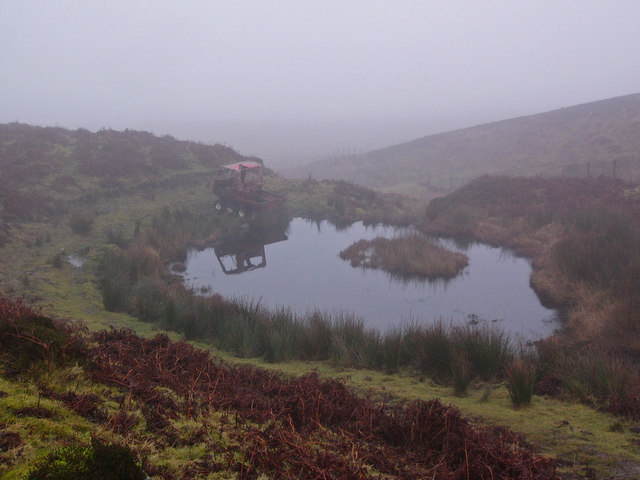
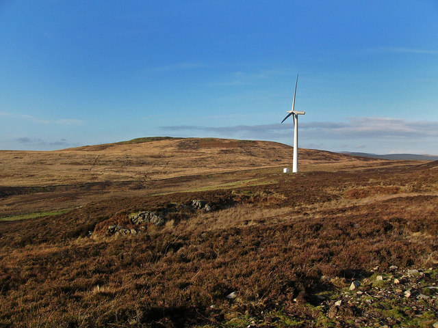
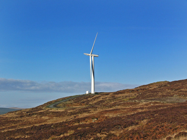
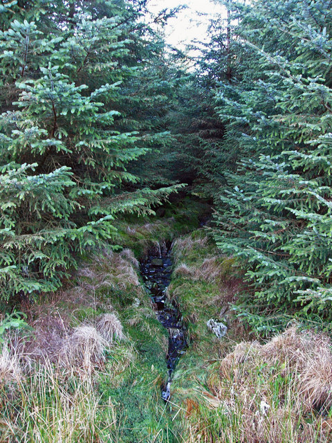
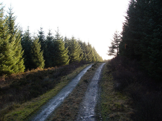
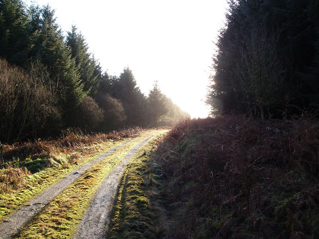
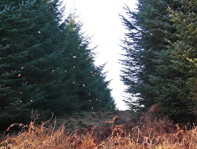
Green Top Images
Images are sourced within 2km of 54.962074/-4.7621471 or Grid Reference NX2366. Thanks to Geograph Open Source API. All images are credited.

Green Top is located at Grid Ref: NX2366 (Lat: 54.962074, Lng: -4.7621471)
Unitary Authority: Dumfries and Galloway
Police Authority: Dumfries and Galloway
What 3 Words
///drainage.laces.duke. Near Cairnryan, Dumfries & Galloway
Nearby Locations
Related Wikis

Tarf Water, Wigtownshire
The Tarf Water is a river in the former county of Wigtownshire in south-west Scotland. It rises on the Ayrshire border (55.0048°N 4.7815°W / 55.0048;...

New Luce
New Luce (Scottish Gaelic: Baile Ùr Ghlinn Lus) is a civil parish in Dumfries and Galloway, south-west Scotland. It lies in the traditional county of Wigtownshire...

New Luce railway station
New Luce railway station served the village of New Luce, Dumfries and Galloway, Scotland from 1887 to 1965 on the Girvan and Portpatrick Junction Railway...

Mid Gleniron
Mid Gleniron is a prehistoric site in Dumfries and Galloway used in the Neolithic and Bronze Age. The site is a scheduled ancient monument that comprises...
Nearby Amenities
Located within 500m of 54.962074,-4.7621471Have you been to Green Top?
Leave your review of Green Top below (or comments, questions and feedback).