Frances Hill
Hill, Mountain in Renfrewshire
Scotland
Frances Hill

Frances Hill is a prominent hill located in Renfrewshire, Scotland. Standing at an elevation of approximately 161 meters (528 feet), it is a notable landmark in the region. The hill is situated near the town of Paisley, just to the southwest of the city of Glasgow.
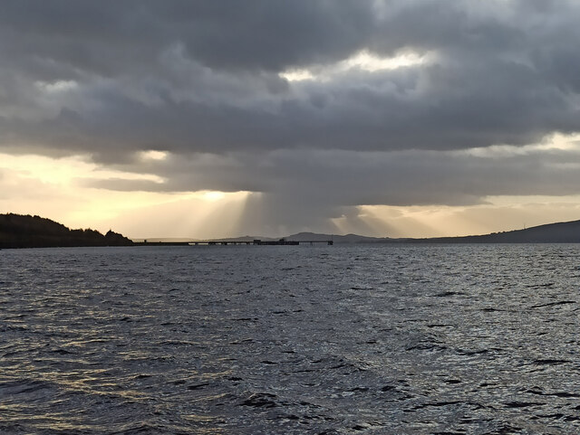
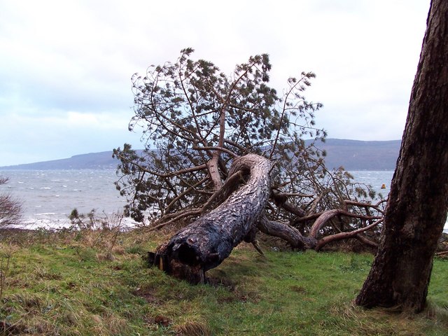
Frances Hill is part of a range of hills known as the Renfrewshire Heights, which stretch across the central belt of Scotland. It is characterized by its distinctive conical shape and offers panoramic views of the surrounding countryside.
The hill is easily accessible, with a network of paths and trails leading to its summit. These paths are popular among hikers, walkers, and nature enthusiasts, who can enjoy the tranquility of the hillside and the diverse flora and fauna that inhabit the area.
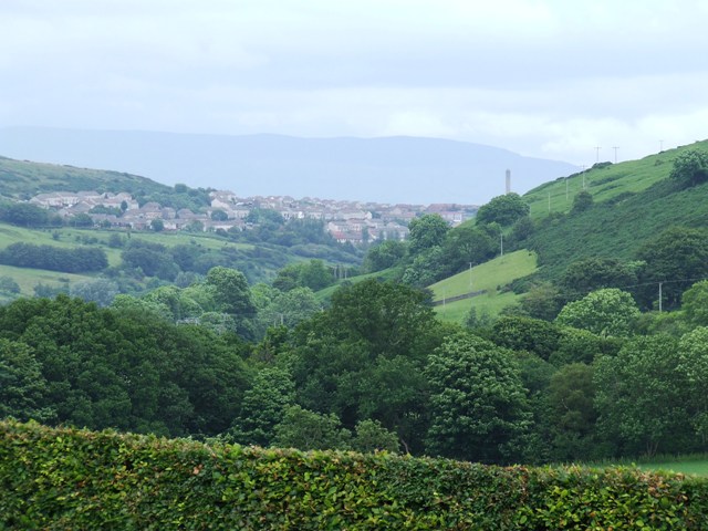
The summit of Frances Hill provides an ideal vantage point to admire the scenic beauty of Renfrewshire. On a clear day, visitors can enjoy breathtaking views of the Clyde Valley, with its picturesque villages and rolling hills. Additionally, the hill offers a glimpse of the urban landscape of Paisley and Glasgow.
Frances Hill holds historical significance as well. It is believed to have been named after a local landowner or notable figure from the area's past. The hill has witnessed various events and changes throughout history, contributing to its cultural value.
Overall, Frances Hill is a cherished natural landmark in Renfrewshire, offering both recreational opportunities and a chance to connect with the region's rich heritage.
If you have any feedback on the listing, please let us know in the comments section below.
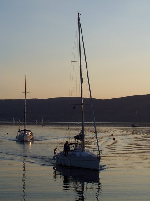
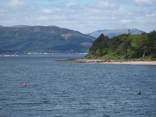
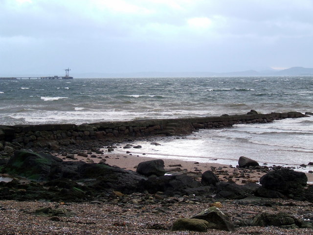
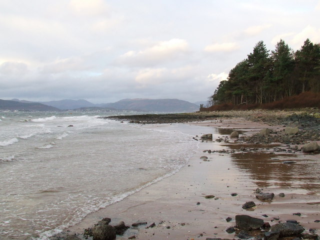
Frances Hill Images
Images are sourced within 2km of 55.910072/-4.8549875 or Grid Reference NS2172. Thanks to Geograph Open Source API. All images are credited.


Frances Hill is located at Grid Ref: NS2172 (Lat: 55.910072, Lng: -4.8549875)
Unitary Authority: Inverclyde
Police Authority: Renfrewshire and Inverclyde
What 3 Words
///hurtles.mixers.clarifies. Near Inverkip, Inverclyde
Nearby Locations
Related Wikis

Inverkip
Inverkip (; Scottish Gaelic: Inbhir Chip) is a village and parish in the Inverclyde council area and historic county of Renfrewshire in the west central...

Inverkip railway station
Inverkip railway station is a railway station serving the village of Inverkip, Inverclyde, Scotland. The station is managed by ScotRail and is on the Inverclyde...
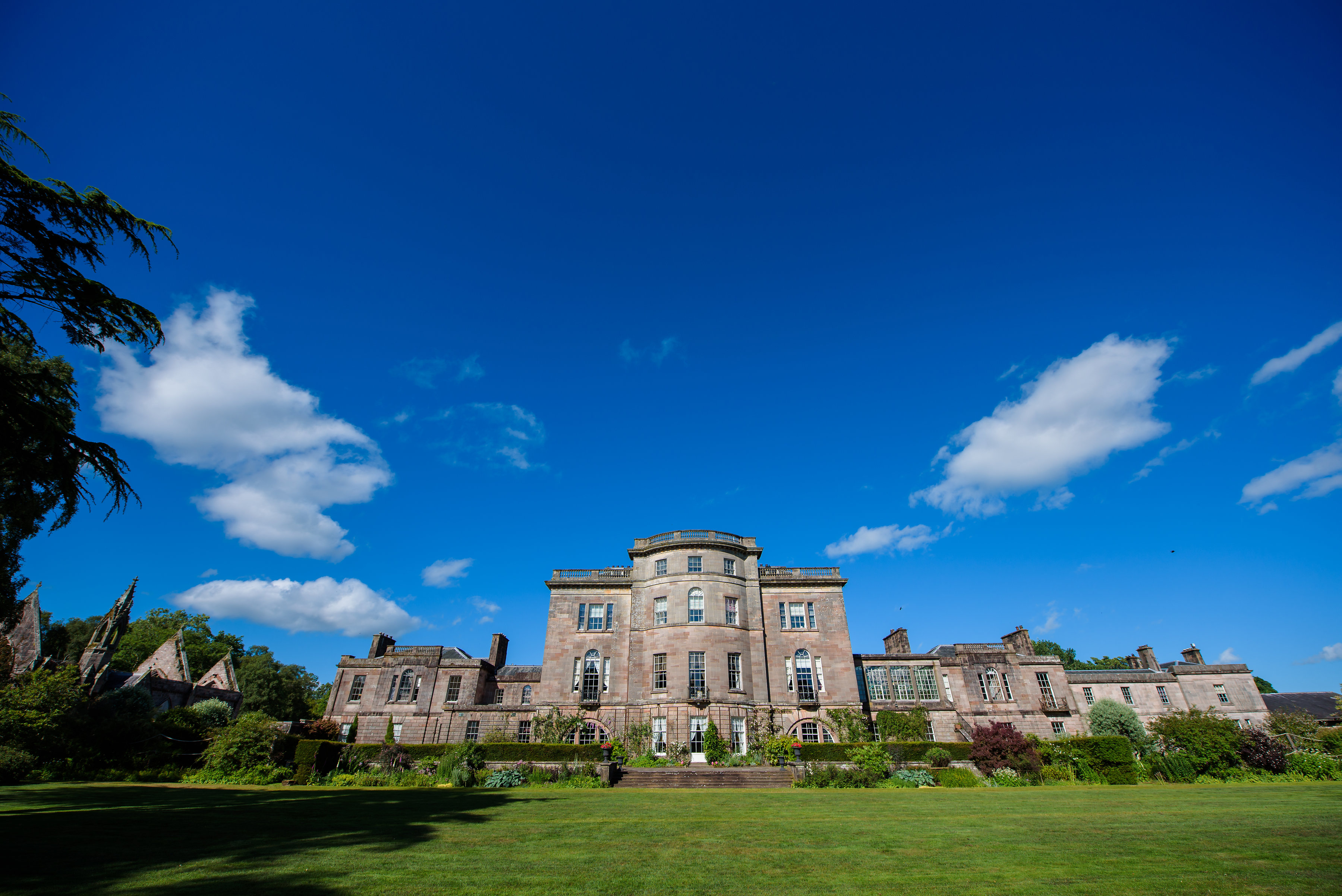
Ardgowan House
Ardgowan House, Castle & Gardens is a Privately owned late 18th-century mansion on the Firth of Clyde near Inverkip, Scotland. Ardgowan is located in Inverclyde...

Ardgowan Castle
Ardgowan Castle, originally called Inverkip Castle, is located in the Private Garden of "Ardgowan House, Castle & Gardens" near Inverkip, Scotland. It...
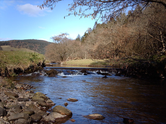
Kip Water, Inverclyde
Kip Water, also known as the River Kip, is a short river in Inverclyde, Scotland which gives the village of Inverkip its name (Inverkip = mouth of the...

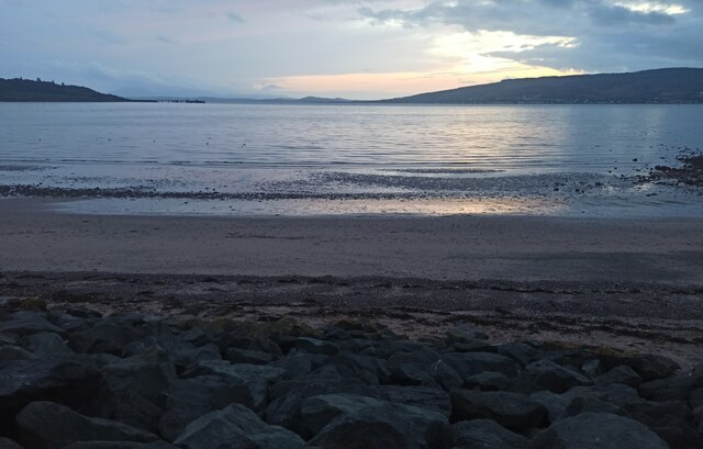
Lunderston Bay
Lunderston Bay is located on the east coast of the Firth of Clyde in Inverclyde, by the A770 road approximately midway between the town of Gourock and...

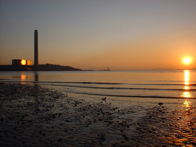
Inverkip power station
Inverkip power station was an oil-fired power station in Inverclyde, on the west coast of Scotland. It was closer to Wemyss Bay than Inverkip, and dominated...
Spango Valley
Spango Valley is a steep sided valley to the south-west of Greenock, Scotland. It runs approximately south west to north east for around 2.4 km (1.5 mi...
Nearby Amenities
Located within 500m of 55.910072,-4.8549875Have you been to Frances Hill?
Leave your review of Frances Hill below (or comments, questions and feedback).