Brockloch Hill
Hill, Mountain in Wigtownshire
Scotland
Brockloch Hill

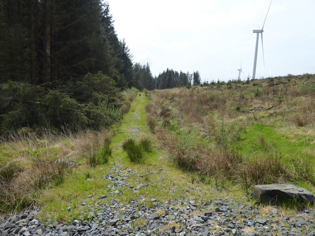
Brockloch Hill is a prominent hill located in Wigtownshire, Scotland. Standing at an elevation of approximately 165 meters (541 feet), it offers stunning panoramic views of the surrounding countryside and coastline, making it a popular destination for hikers and nature enthusiasts.
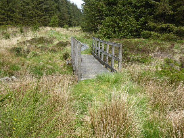
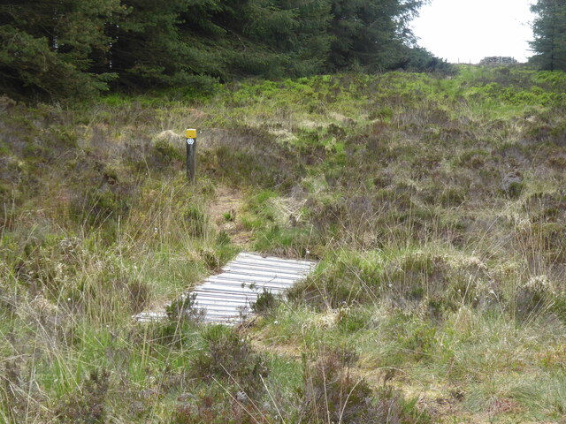
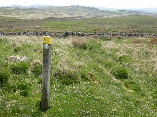
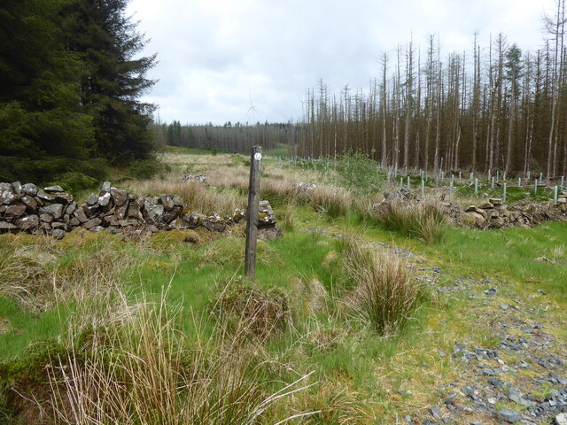
Situated about 5 kilometers (3 miles) northwest of the town of Newton Stewart, Brockloch Hill is easily accessible and is often included in local walking trails. The hill is known for its gentle slopes and well-maintained paths, making it suitable for hikers of all abilities.
The hill is covered in a patchwork of grassy fields, heather moorland, and scattered trees, providing a diverse range of habitats for various plant and animal species. It is home to a variety of bird species, including buzzards, kestrels, and peregrine falcons, making it a haven for birdwatchers.
At the summit of Brockloch Hill, visitors are rewarded with breathtaking views of the Galloway Hills to the north and the Irish Sea to the west. On clear days, it is even possible to see across to the Isle of Man.
Additionally, Brockloch Hill has historical significance, with evidence of Iron Age settlements and fortifications found in the surrounding area. These archaeological sites add an extra layer of intrigue for those interested in the region's past.
Overall, Brockloch Hill is a picturesque and accessible hill in Wigtownshire, offering visitors a chance to immerse themselves in nature, enjoy scenic views, and explore the history of the area.
If you have any feedback on the listing, please let us know in the comments section below.
Brockloch Hill Images
Images are sourced within 2km of 54.988782/-4.7893409 or Grid Reference NX2169. Thanks to Geograph Open Source API. All images are credited.


Brockloch Hill is located at Grid Ref: NX2169 (Lat: 54.988782, Lng: -4.7893409)
Unitary Authority: Dumfries and Galloway
Police Authority: Dumfries and Galloway
What 3 Words
///query.solving.message. Near Cairnryan, Dumfries & Galloway
Nearby Locations
Related Wikis

Glenwhilly railway station
Glenwhilly railway station served the area of Glenwhilly, Dumfries and Galloway, Scotland from 1887 to 1965 on the Girvan and Portpatrick Junction Railway...

Tarf Water, Wigtownshire
The Tarf Water is a river in the former county of Wigtownshire in south-west Scotland. It rises on the Ayrshire border (55.0048°N 4.7815°W / 55.0048;...

New Luce
New Luce (Scottish Gaelic: Baile Ùr Ghlinn Lus) is a civil parish in Dumfries and Galloway, south-west Scotland. It lies in the traditional county of Wigtownshire...

New Luce railway station
New Luce railway station served the village of New Luce, Dumfries and Galloway, Scotland from 1887 to 1965 on the Girvan and Portpatrick Junction Railway...

Kilgallioch
Kilgallioch Wind Farm is a 96 turbine wind farm in South Ayrshire, Scotland with a total capacity of up to 239 megawatts (MW). Consent granted by the Scottish...

Loups of Dalnigap
Loups of Dalnigap is a waterfall of Scotland. It sits below Dalnigap House, in the South of the Lagafater Estate. == See also == Waterfalls of Scotland...

Mid Gleniron
Mid Gleniron is a prehistoric site in Dumfries and Galloway used in the Neolithic and Bronze Age. The site is a scheduled ancient monument that comprises...

Penwhirn Reservoir
Penwhirn Reservoir, is a reservoir in Dumfries and Galloway, Scotland, approximately 3.5 miles (6 km) east of Cairnryan. The reservoir was built in the...
Nearby Amenities
Located within 500m of 54.988782,-4.7893409Have you been to Brockloch Hill?
Leave your review of Brockloch Hill below (or comments, questions and feedback).