Brae Hill

Hill, Mountain in Ayrshire

Scotland

Brae Hill

Grant’s distillery at Grangestone 2021 This updated view looking towards Grangestone shows how the distillery has expanded. There’s still more building going on. Viewed from the next square. For a 1975 view, see <a href="https://www.geograph.org.uk/photo/6993413">NX2099 : Grant’s distillery at Grangestone 1975</a>
Grant’s distillery at Grangestone 2021 Credit: Mary and Angus Hogg

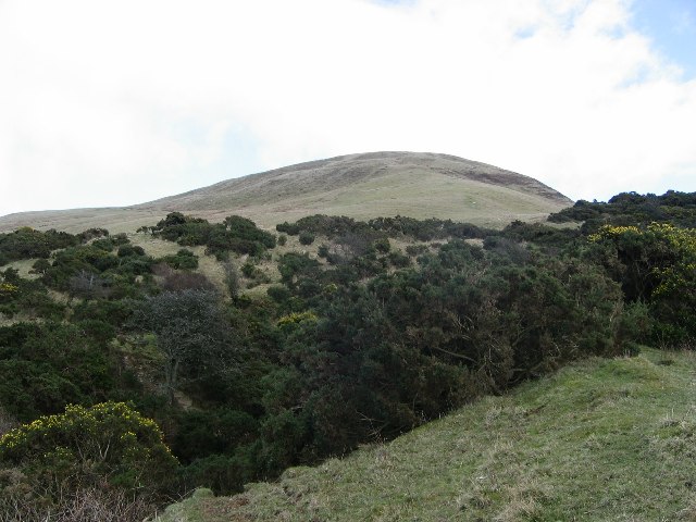
Brae Hill is a prominent landmark located in Ayrshire, Scotland. Standing at an elevation of 280 meters (919 feet), it is often referred to as a hill rather than a mountain due to its modest height. The hill is situated near the village of Straiton, approximately 16 kilometers (10 miles) southeast of Ayr.

Brae Hill is characterized by its gentle slopes and rounded summit, offering panoramic views of the surrounding countryside. The hill is primarily composed of sedimentary rocks, including sandstone and limestone, which contribute to its distinct appearance. The area is known for its rich biodiversity, with ample flora and fauna found throughout the hillside.

The hill attracts outdoor enthusiasts who enjoy hiking, as there are several well-marked trails that lead to the summit. The most popular route starts from Straiton and takes approximately two hours to complete. Along the way, hikers can admire the diverse vegetation, including heather, gorse, and various species of wildflowers.

Historically, Brae Hill has played a role in the local community, serving as a landmark for navigation and a site for recreational activities. It is also associated with folklore and legends, adding to its cultural significance. Today, the hill remains a cherished natural feature, offering visitors and locals alike an opportunity to reconnect with nature and enjoy the tranquil beauty of the Ayrshire countryside.

If you have any feedback on the listing, please let us know in the comments section below.
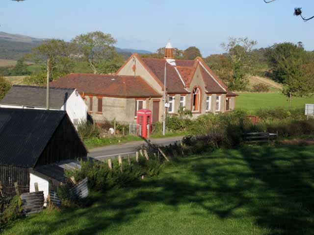
Brae Hill Images

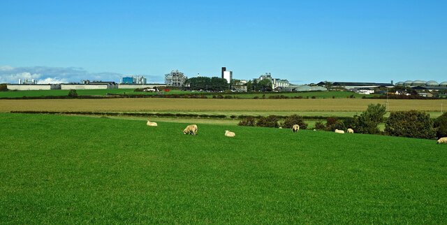
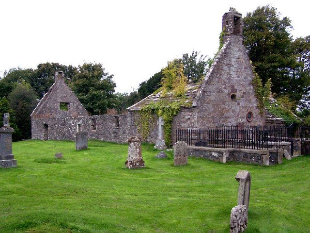
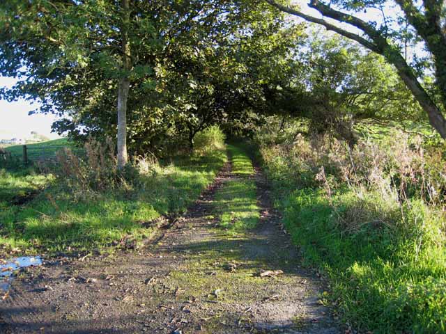
Images are sourced within 2km of 55.244678/-4.8145604 or Grid Reference NX2198. Thanks to Geograph Open Source API. All images are credited.

Grant’s distillery at Grangestone 2021 This updated view looking towards Grangestone shows how the distillery has expanded. There’s still more building going on. Viewed from the next square. For a 1975 view, see <a href="https://www.geograph.org.uk/photo/6993413">NX2099 : Grant’s distillery at Grangestone 1975</a>
Grant’s distillery at Grangestone 2021
This updated view looking towards Grangestone shows how the distillery has expanded. There’s still more building going on. Viewed from the next square. For a 1975 view, see NX2099 : Grant’s distillery at Grangestone 1975
Grant’s distillery at Grangestone 1975 Viewed from an adjoining square, this old scanned slide shows early development at the distillery outside Girvan. For a 2021 view, see <a href="https://www.geograph.org.uk/photo/6993412">NX2099 : Grant’s distillery at Grangestone 2021</a>
Grant’s distillery at Grangestone 1975
Viewed from an adjoining square, this old scanned slide shows early development at the distillery outside Girvan. For a 2021 view, see NX2099 : Grant’s distillery at Grangestone 2021
Saughs Hill from Troweir Hill Saughs Hill and Troweir Hill are identical height summits either end of a moor.
Saughs Hill from Troweir Hill
Saughs Hill and Troweir Hill are identical height summits either end of a moor.
On Saugh Hill Taken from the summit. Ailsa Craig a long way out.
On Saugh Hill
Taken from the summit. Ailsa Craig a long way out.
Slopes of Saugh Hill Saugh hill rises above a whin filled ravine at NX202972
Slopes of Saugh Hill
Saugh hill rises above a whin filled ravine at NX202972
Old Dailly Church Built on the site of a 13th century chapel, this is known as the "Covenanter's Church" as it contains the graves of five 17th century Covenanters. <span class="nowrap"><a title="http://www.ayrshirepaths.org.uk/histdailly.htm" rel="nofollow ugc noopener" href="http://www.ayrshirepaths.org.uk/histdailly.htm">Link</a><img style="margin-left:2px;" alt="External link" title="External link - shift click to open in new window" src="https://s1.geograph.org.uk/img/external.png" width="10" height="10"/></span>
Old Dailly Church
Built on the site of a 13th century chapel, this is known as the "Covenanter's Church" as it contains the graves of five 17th century Covenanters. LinkExternal link
Girvan Early Growers The operational base for a consortium of six local producers of early potatoes. <span class="nowrap"><a title="http://www.saos.co.uk/girvan.htm" rel="nofollow ugc noopener" href="http://www.saos.co.uk/girvan.htm">Link</a><img style="margin-left:2px;" alt="External link" title="External link - shift click to open in new window" src="https://s1.geograph.org.uk/img/external.png" width="10" height="10"/></span>
Girvan Early Growers
The operational base for a consortium of six local producers of early potatoes. LinkExternal link
Farm road at Macrindlestone, near Girvan Leading under the Ayr to Girvan railway.
Farm road at Macrindlestone, near Girvan
Leading under the Ayr to Girvan railway.
Back lane in the Girvan valley
Old school at Old Dailly
Brae Farm At the foot of Saugh Hill. Seen from the B734 Barr to Girvan road.
Brae Farm
At the foot of Saugh Hill. Seen from the B734 Barr to Girvan road.
Brae Farm At the foot of Saugh Hill. Seen from the B734 Barr to Girvan road.
Brae Farm
At the foot of Saugh Hill. Seen from the B734 Barr to Girvan road.
Laigh Killoup Cottage in the fields seen from the B734 Barr to Girvan road.
Laigh Killoup
Cottage in the fields seen from the B734 Barr to Girvan road.
Laigh Killoup Cottage in the fields, seen from the B734 Barr to Girvan road.
Laigh Killoup
Cottage in the fields, seen from the B734 Barr to Girvan road.
Camregan Farmhouse seen from the B734 Barr to Girvan road.
Camregan
Farmhouse seen from the B734 Barr to Girvan road.
Cottage near Camregan Seen from the B734 Barr to Girvan road.
Cottage near Camregan
Seen from the B734 Barr to Girvan road.
On Tralorg Hill Improved and rough grazing, used by sheep and cattle.
On Tralorg Hill
Improved and rough grazing, used by sheep and cattle.
On Lower Tralorg Hill Looking east from the shoulder above Penwhapple Burn, towards the turbines of Hadyard Hill Wind Farm.
On Lower Tralorg Hill
Looking east from the shoulder above Penwhapple Burn, towards the turbines of Hadyard Hill Wind Farm.
Show me another place!

Brae Hill is located at Grid Ref: NX2198 (Lat: 55.244678, Lng: -4.8145604)

Unitary Authority: South Ayrshire

Police Authority: Ayrshire

What 3 Words

///headrest.overheard.boater. Near Girvan, South Ayrshire

Related Wikis

Old Dailly

Old Dailly is a hamlet in South Ayrshire, Scotland. It is located west of Dailly (or "New Dailly"). The Charter or Blue stones of Old Dailly in Ayrshire...

Grangeston Halt railway station

The Grangeston Halt railway station was a private station that was not listed in the public timetables, located in a rural part of South Ayrshire, Scotland...

Ladyburn distillery

Ladyburn distillery was a producer of single malt Scotch whisky that operated between 1966 and 1975. == History == The Ladyburn distillery was an expansion...
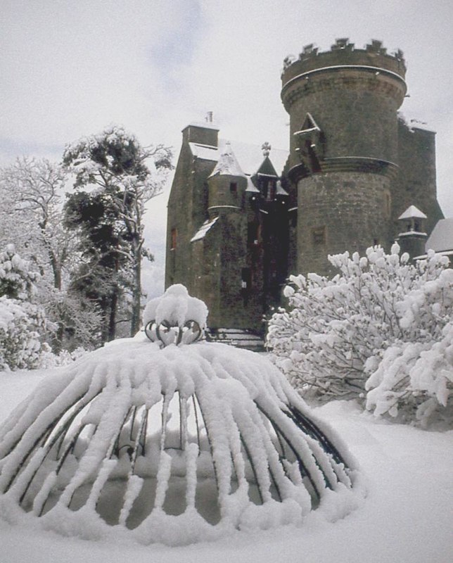
Penkill Castle

Penkill Castle is a 16th-century castle with later additions. It is around 1⁄2 mile (800 metres) south of Old Dailly, northeast of Girvan in south Ayrshire...

Nearby Amenities

Located within 500m of 55.244678,-4.8145604
Man Made: mast
Lat/Long: 55.2447145/-4.8144485
Power: pole
Lat/Long: 55.2483823/-4.8189318
Power: pole
Lat/Long: 55.2476469/-4.8187092
Power: pole
Lat/Long: 55.2475184/-4.8197579
The data included in this document is from www.openstreetmap.org. The data is made available under ODbL.

Have you been to Brae Hill?

Leave your review of Brae Hill below (or comments, questions and feedback).