Ardoch Hill

Hill, Mountain in Renfrewshire

Scotland

Ardoch Hill

Inverkip Community Hub At Bridgend at the north end of the village.
Inverkip Community Hub Credit: Thomas Nugent

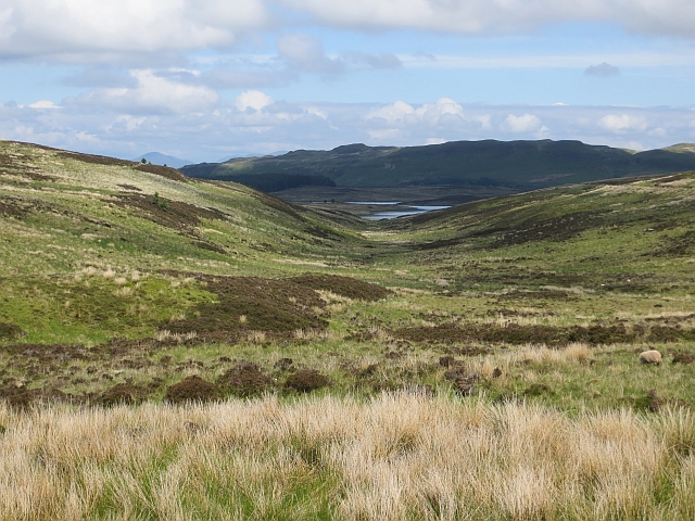
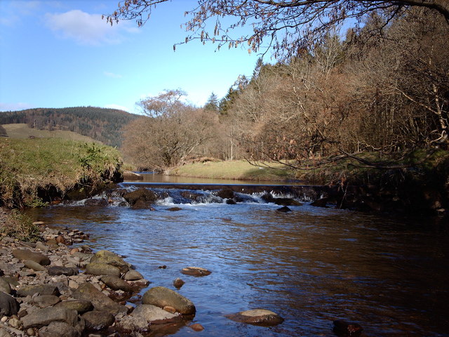
Ardoch Hill is a prominent hill located in Renfrewshire, Scotland. It forms part of the Clyde Muirshiel Regional Park and stands at an elevation of approximately 327 meters (1,073 feet) above sea level. This makes it one of the highest points in the surrounding area.

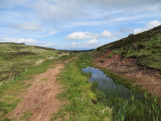
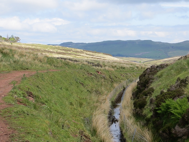
The hill is characterized by its gently sloping sides and a rounded summit that offers breathtaking panoramic views of the surrounding countryside. It is primarily covered in heather, grasses, and scattered patches of woodland, creating a picturesque landscape.

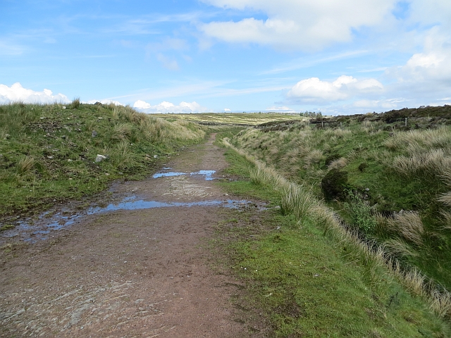
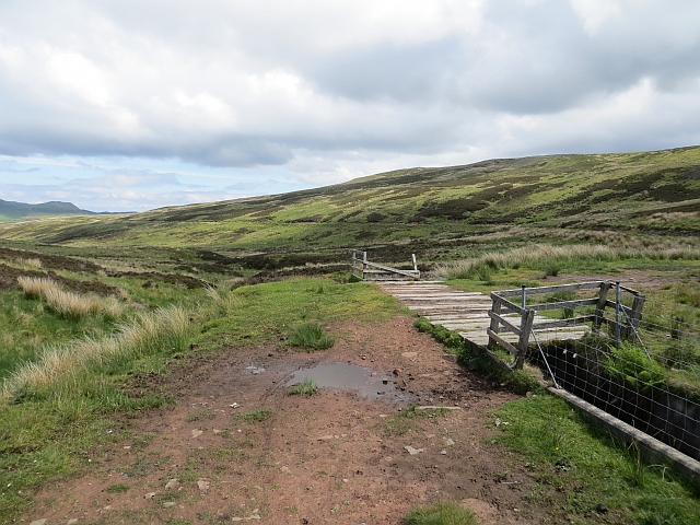
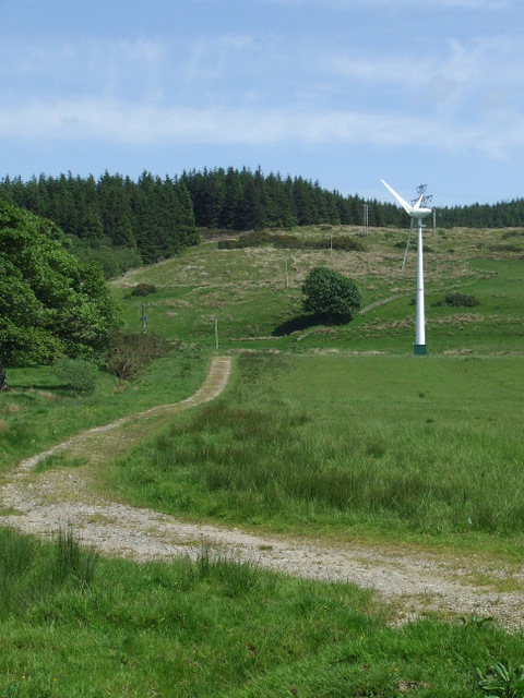
Ardoch Hill is a popular destination for outdoor enthusiasts, hikers, and nature lovers. Several well-marked trails lead to the summit, providing visitors with various options for exploration and exercise. The paths are generally well-maintained and offer a moderate level of difficulty, making them suitable for both experienced and novice hikers.

While ascending the hill, visitors may encounter a variety of wildlife, including deer, foxes, and a wide range of bird species. The hill's diverse ecosystem also supports a multitude of plant species, contributing to its ecological significance.

Ardoch Hill's location within the Clyde Muirshiel Regional Park ensures that it benefits from the park's conservation efforts, protecting its natural beauty and promoting sustainable recreational activities. The hill's accessibility, stunning views, and rich biodiversity make it a popular destination for locals and tourists alike, seeking to immerse themselves in the natural beauty of Renfrewshire.

If you have any feedback on the listing, please let us know in the comments section below.

Ardoch Hill Images

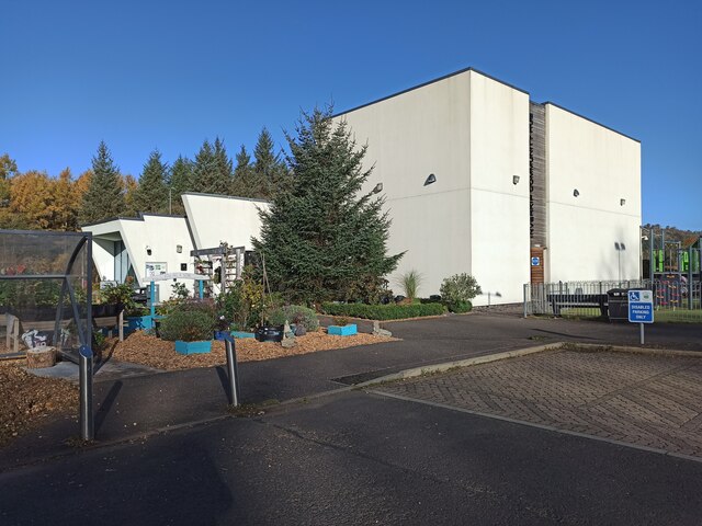
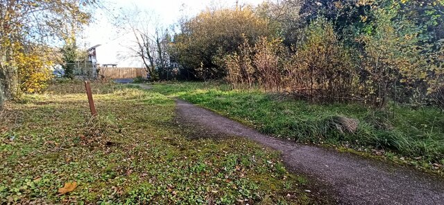
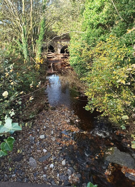
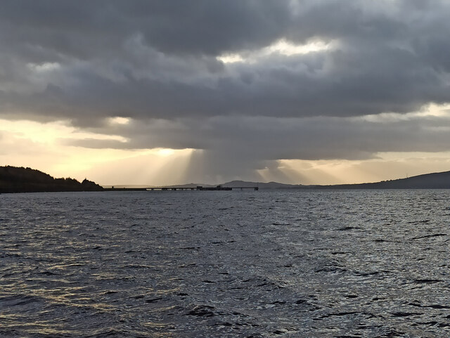
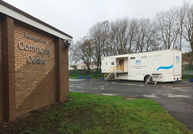
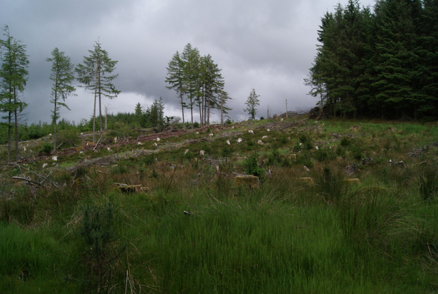
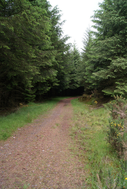
Images are sourced within 2km of 55.894466/-4.8631509 or Grid Reference NS2170. Thanks to Geograph Open Source API. All images are credited.

Inverkip Community Hub At Bridgend at the north end of the village.
Inverkip Community Hub
At Bridgend at the north end of the village.
Painted stones, Inverkip At Inverkip Community Hub <a href="https://www.geograph.org.uk/photo/7666641">NS2172 : Inverkip Community Hub</a>.
Painted stones, Inverkip
At Inverkip Community Hub NS2172 : Inverkip Community Hub.
Former tennis court, Inverkip Undeveloped former Inverkip & Wemyss Bay Sports Club land between Langhouse Road and Kip Park. One of the net posts remains.
Former tennis court, Inverkip
Undeveloped former Inverkip & Wemyss Bay Sports Club land between Langhouse Road and Kip Park. One of the net posts remains.
Log jam on the Daff Burn Excessive rain over a two day period washed these large logs downstream, where they became jammed at the culverts under the A78 Main Road.
Log jam on the Daff Burn
Excessive rain over a two day period washed these large logs downstream, where they became jammed at the culverts under the A78 Main Road.
Sunset over Toward and Bute Viewed across the old power station jetty from Inverkip Yacht Club.

See also <a href="https://www.geograph.org.uk/photo/7066720">NS1870 : Sunset over Toward and Bute</a>.
Sunset over Toward and Bute
Viewed across the old power station jetty from Inverkip Yacht Club. See also NS1870 : Sunset over Toward and Bute.
NHS Scotland mobile breast screening unit In the car park at Wemyss Bay Community Centre. Part of the Scottish Breast Screening Programme. 

The platform at the top of the steps is a lift for wheelchairs, the steps are on wheels and roll away to the left when the platform is lowered.
NHS Scotland mobile breast screening unit
In the car park at Wemyss Bay Community Centre. Part of the Scottish Breast Screening Programme. The platform at the top of the steps is a lift for wheelchairs, the steps are on wheels and roll away to the left when the platform is lowered.
Leapmoor Forest Looking towards the top of the hill on the main track through the forest.
Leapmoor Forest
Looking towards the top of the hill on the main track through the forest.
Leapmoor Forest On the downhill section towards Hill Farm Estate.
Leapmoor Forest
On the downhill section towards Hill Farm Estate.
Kelly Cut The cut at about halfway between Wemyss Bay and Cornalees. The path is very red and there is some sandstone exposed.
Kelly Cut
The cut at about halfway between Wemyss Bay and Cornalees. The path is very red and there is some sandstone exposed.
Kelly Cut Earthen track beside the old aqueduct, an 1840s extension to the Greenock Cut.
Kelly Cut
Earthen track beside the old aqueduct, an 1840s extension to the Greenock Cut.
Kelly Cut The aqueduct breaches a watershed between the Kelly Glen and Daff Glen. There is a deep cutting here.
Kelly Cut
The aqueduct breaches a watershed between the Kelly Glen and Daff Glen. There is a deep cutting here.
Bridge, Kelly Cut An overflow from the cut, it feeds the Glenshilloch Burn.
Bridge, Kelly Cut
An overflow from the cut, it feeds the Glenshilloch Burn.
Glenshilloch Burn A view down the course of the Glenshilloch Burn from the Kelly Cut.
Glenshilloch Burn
A view down the course of the Glenshilloch Burn from the Kelly Cut.
Half way sign, Kelly Cut Half way from Cornalees to Wemyss Bay.
Half way sign, Kelly Cut
Half way from Cornalees to Wemyss Bay.
Wind turbine near Kelly Mains farm In a field to the north of the farm.
Wind turbine near Kelly Mains farm
In a field to the north of the farm.
Inverkip Power Station Taken from Inverkip Bay.
Inverkip Power Station
Taken from Inverkip Bay.
Kelly Mains Farm
Kelly Mains Farm
Footbridge Over Glenshilloch burn on the Kelly Cut Trail not recommended for a cycle.
Footbridge
Over Glenshilloch burn on the Kelly Cut Trail not recommended for a cycle.
Show me another place!

Ardoch Hill is located at Grid Ref: NS2170 (Lat: 55.894466, Lng: -4.8631509)

Unitary Authority: Inverclyde

Police Authority: Renfrewshire and Inverclyde

What 3 Words

///sends.cadet.reminds. Near Inverkip, Inverclyde

Nearby Locations

Ardoch Hill

Related Wikis

Related Videos

Discover local attractions & more at Wemyss Bay Holiday Park

Come and see what great local attractions there are during your stay at Wemyss Bay Holiday Park in Scotland. To find out more ...

Wemyss Bay Holiday Park Accommodation, Scotland

Here's a preview of the range of accommodation on offer at Wemyss Bay Holiday Park, Scotland. Accompany your perfect holiday ...

Wemyss Bay Holiday Park A Quick Guide

Like the description says a quick guide to Wemyss Bay Holiday Park we went in July and enjoyed our stay Next up will be a look ...

Solo walking Three Glens and Dunrod hill 9/5/20

This was a circular walk from Inverkip village through the Daff Glen over Inlie hill then down into Shielhill Glen taking the high ...

Nearby Amenities

Located within 500m of 55.894466,-4.8631509
Power: pole
Lat/Long: 55.8929955/-4.8678157
Power: pole
Lat/Long: 55.8960602/-4.8660446
Power: pole
Lat/Long: 55.8976077/-4.8651941
Power: pole
Lat/Long: 55.8984806/-4.8638597
Power: pole
Lat/Long: 55.8983311/-4.8644534
Power: pole
Lat/Long: 55.8976954/-4.8653834
Power: pole
Lat/Long: 55.8962721/-4.8661869
Power: pole
Lat/Long: 55.8955239/-4.8666151
Power: pole
Lat/Long: 55.8932641/-4.867924
Power: pole
Lat/Long: 55.8970439/-4.8657512
Power: pole
Lat/Long: 55.8968782/-4.8655951
Power: pole
Lat/Long: 55.8952946/-4.8664871
Power: pole
Lat/Long: 55.8944944/-4.8669495
Power: pole
Lat/Long: 55.8947896/-4.8670404
Power: pole
Lat/Long: 55.8939563/-4.8675231
Power: pole
Lat/Long: 55.8937966/-4.8673527
The data included in this document is from www.openstreetmap.org. The data is made available under ODbL.

Have you been to Ardoch Hill?

Leave your review of Ardoch Hill below (or comments, questions and feedback).