Banc-y-Warren
Hill, Mountain in Cardiganshire
Wales
Banc-y-Warren
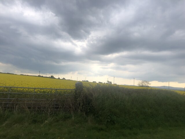
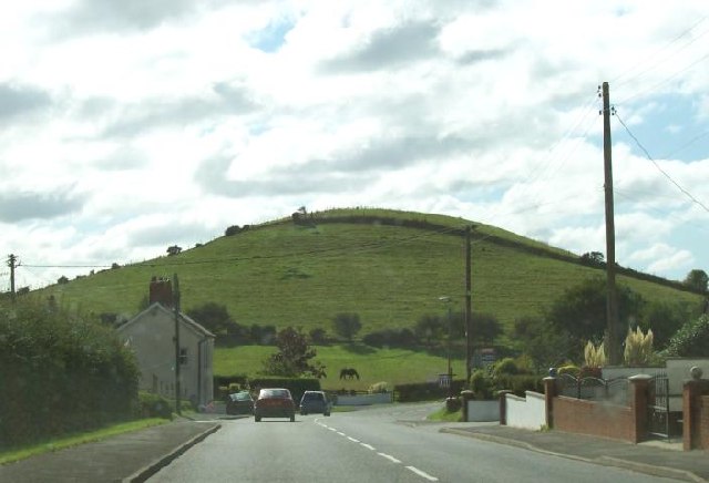
![Banc-y-Warren Parked in the village then walked up the main road to use track to the NW to access two gates to summit field with two horses.
Name: Banc y Warren
Hill number: 15488
Height:146m / 479ft
Parent (Ma/M): 2221 Rhos Ymryson
Section:31C: South-West Wales
County/UA: Cardiganshire [Ceredigion] (CoU)
Class: Tump (100-199m)
Grid ref:SN204475 (est)
Drop: 38m
Col:108m SN206476](https://s1.geograph.org.uk/geophotos/04/66/69/4666969_084ce3ba.jpg)
Banc-y-Warren is a hill located in the county of Cardiganshire, in Wales, United Kingdom. Situated in the western part of the country, it forms part of the Cambrian Mountains range. With an elevation of approximately 400 meters (1,300 feet), it offers stunning panoramic views of the surrounding countryside and valleys.
Covered in lush greenery, Banc-y-Warren is known for its diverse flora and fauna. The hill is home to a wide range of plant species, including heather, gorse, and bracken, which create a colorful tapestry across the landscape. The hillside also hosts a variety of bird species, such as red kites, buzzards, and peregrine falcons, making it a popular destination for birdwatchers.
The summit of Banc-y-Warren provides visitors with breathtaking vistas, allowing them to see the rolling hills and valleys stretching out for miles. On a clear day, it is possible to catch a glimpse of the Irish Sea in the distance. The hill is a perfect spot for hikers and nature enthusiasts, who can explore the numerous walking trails that crisscross its slopes.
In addition to its natural beauty, Banc-y-Warren has historical significance. The area is dotted with ancient ruins, including Iron Age hill forts, which serve as a reminder of the hill's rich past. These archaeological sites attract history enthusiasts who are keen to learn about the region's ancient civilizations.
Overall, Banc-y-Warren is a captivating hill in Cardiganshire that offers a blend of natural beauty, wildlife, and historical interest. Whether visitors are seeking tranquility, outdoor adventure, or a glimpse into the past, Banc-y-Warren provides a memorable experience.
If you have any feedback on the listing, please let us know in the comments section below.
Banc-y-Warren Images
Images are sourced within 2km of 52.09668/-4.6231566 or Grid Reference SN2047. Thanks to Geograph Open Source API. All images are credited.


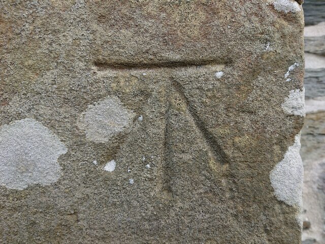
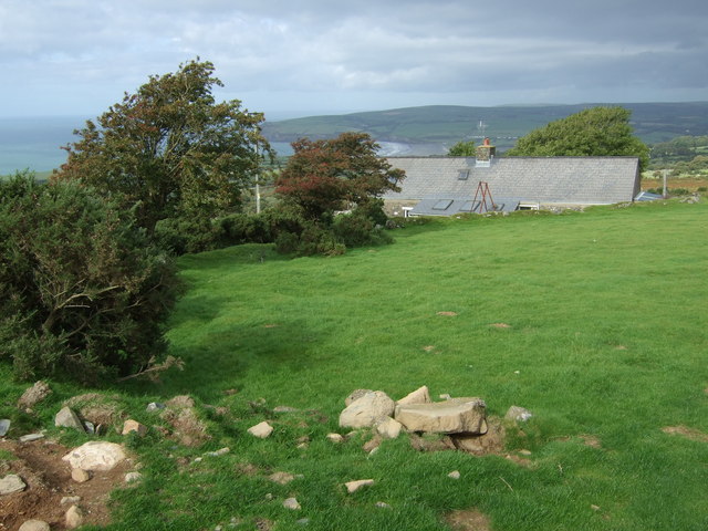
![OS Fundamental Benchmark - Llangoedmor, Cardigan FBM Ordnance Survey Fundamental Benchmark (FBM) used for levelling height above Ordnance Datum (OD).
Height (1954): 89.4719m OD (Newlyn). Mark verified by the Ordnance Survey in 1972. Description: CARDIGAN FBM 4.3M S SIDE TK 43M SW CORNER GARAGE. 0.3m above ground. 1st Order BM.
The FBM was used on the Haverford West to Cardigan (G077) and Cardigan to Aberystwyth (G082) lines of the Third Geodetic Levelling of England &amp; Wales in 1954 and 1956 respectively. It was levelled with a height of 293.543&#039; above OD (Newlyn). Abstract G 65: <span class="nowrap"><a title="http://discovery.nationalarchives.gov.uk/SearchUI/details?Uri=C11264473" rel="nofollow ugc noopener" href="http://discovery.nationalarchives.gov.uk/SearchUI/details?Uri=C11264473">Link</a><img style="margin-left:2px;" alt="External link" title="External link - shift click to open in new window" src="https://s1.geograph.org.uk/img/external.png" width="10" height="10"/></span> [OS 54/754]
Context: <a href="https://www.geograph.org.uk/photo/7443469">SN2046 : OS Fundamental Benchmark - Llangoedmor, Cardigan FBM</a>](https://s2.geograph.org.uk/geophotos/07/44/34/7443462_fac186da.jpg)
Banc-y-Warren is located at Grid Ref: SN2047 (Lat: 52.09668, Lng: -4.6231566)
Unitary Authority: Ceredigion
Police Authority: Dyfed Powys
What 3 Words
///playoffs.acquaint.laptops. Near Cardigan, Ceredigion
Nearby Locations
Related Wikis
Banc-y-Warren
Banc-y-Warren is hill in Ceredigion with a height of 146 m. It is also classed as a Site of Special Scientific Interest. == See also == List of Sites of...
Battle of Crug Mawr
The Battle of Crug Mawr (Welsh: Brwydr Crug Mawr), sometimes referred to as the Battle of Cardigan, took place in September or October 1136, as part of...
Penparc
Penparc (also known as Penyparc) is a village in Ceredigion, Wales, on the A487 road 3 miles (4.8 km) northeast of Cardigan. The surrounding land is principally...

Banc y Mwldan
Banc y Mwldan is a Site of Special Scientific Interest in Ceredigion, west Wales. == References == == See also == List of Sites of Special Scientific...
Nearby Amenities
Located within 500m of 52.09668,-4.6231566Have you been to Banc-y-Warren?
Leave your review of Banc-y-Warren below (or comments, questions and feedback).