Pinbain Hill

Hill, Mountain in Ayrshire

Scotland

Pinbain Hill

Cundry Mains, Lendalfoot
Cundry Mains, Lendalfoot Credit: Oliver Dixon

The requested URL returned error: 429 Too Many Requests

If you have any feedback on the listing, please let us know in the comments section below.
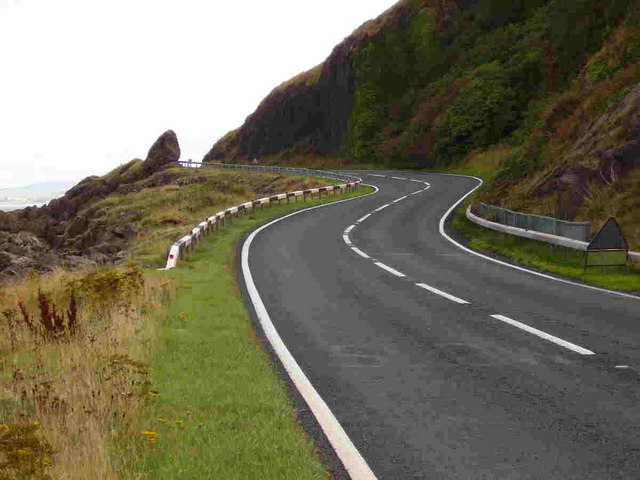
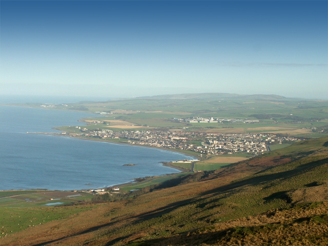
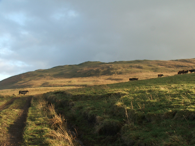
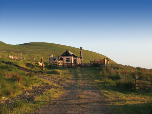
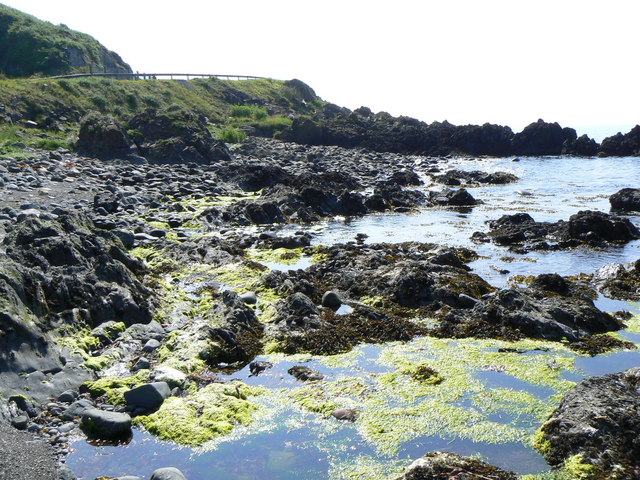
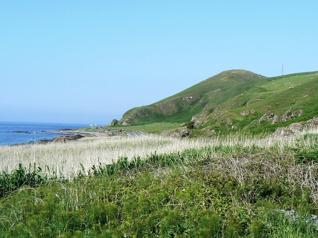
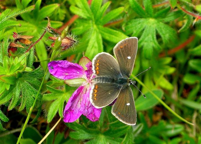
Pinbain Hill Images

Images are sourced within 2km of 55.187907/-4.9084268 or Grid Reference NX1492. Thanks to Geograph Open Source API. All images are credited.

Cundry Mains, Lendalfoot
Valley of the Water of Lendal
Looking NE to Kennedy's Pass
View from the summit of Grey Hill Looking Northwards over Girvan and up the Ayrshire coast. Turnberry is the last headland in this picture. Enjoy
View from the summit of Grey Hill
Looking Northwards over Girvan and up the Ayrshire coast. Turnberry is the last headland in this picture. Enjoy
Grey Hill A view looking up to the Grey Hill from the west
Grey Hill
A view looking up to the Grey Hill from the west
Kilranny House Kilranny house, below the Grey Hill and above Kennedy's Pass. The house is now a ruin.
Kilranny House
Kilranny house, below the Grey Hill and above Kennedy's Pass. The house is now a ruin.
Fishing boat Wellspring beached and on fire Boat ran into trouble and was beached near Lendalfoot remarkably no one was injured
Fishing boat Wellspring beached and on fire
Boat ran into trouble and was beached near Lendalfoot remarkably no one was injured
Not quite seaworthy Day after the Wellspring was beached
Not quite seaworthy
Day after the Wellspring was beached
There's a hole in my boat !! Wellspring never to sail again. Reclaimed over the years by the sea and nothing much remains now.
There's a hole in my boat !!
Wellspring never to sail again. Reclaimed over the years by the sea and nothing much remains now.
Rocky coastline The guard rails above the rocks are on the A77 trunk road near Kennedy's Pass.
Rocky coastline
The guard rails above the rocks are on the A77 trunk road near Kennedy's Pass.
Sea coast south of Kennedy's Pass Looking north, with the A77 trunk road just visible centre right.
Sea coast south of Kennedy's Pass
Looking north, with the A77 trunk road just visible centre right.
Cliffs near Stockenray The road in the foreground is the A77(T).
Cliffs near Stockenray
The road in the foreground is the A77(T).
Pinbain Burn SSSI This is a Site of Special Scientific Interest, with a wonderful range of plants and animal life on limestone rock.
Pinbain Burn SSSI
This is a Site of Special Scientific Interest, with a wonderful range of plants and animal life on limestone rock.
Bloody Cranesbill Bloody Cranesbill (Geranium sanguineum) at the Pinbain Burn SSSI.  The flowers are 25-30mm wide.  The plant takes its name from the seed-pod, which is shaped something like a crane's bill.  Bloody Cranesbill grows in dry grassy places, on lime.
Bloody Cranesbill
Bloody Cranesbill (Geranium sanguineum) at the Pinbain Burn SSSI. The flowers are 25-30mm wide. The plant takes its name from the seed-pod, which is shaped something like a crane's bill. Bloody Cranesbill grows in dry grassy places, on lime.
Common Spotted Orchid At the Pinbain burn SSSI, Common Spotted Orchid (Dactylorhiza fuchsii) - I think!  Orchids are not easy to identify!
Common Spotted Orchid
At the Pinbain burn SSSI, Common Spotted Orchid (Dactylorhiza fuchsii) - I think! Orchids are not easy to identify!
Northern Brown Argus The Northern Brown Argus (Aricia artaxerxes) on Bloody Cranesbill at the Pinbain Burn SSSI.  This attractive small butterfly (only about an inch wide) shows a conspicuous white spot in the centre of each upper forewing, with a series of orange crescents round the edges.  It's a very local butterfly in Scotland, now reduced to a number of scattered sites.  (Source:  RSNC Guide to Butterflies of the British Isles, by JA Thomas)
Northern Brown Argus
The Northern Brown Argus (Aricia artaxerxes) on Bloody Cranesbill at the Pinbain Burn SSSI. This attractive small butterfly (only about an inch wide) shows a conspicuous white spot in the centre of each upper forewing, with a series of orange crescents round the edges. It's a very local butterfly in Scotland, now reduced to a number of scattered sites. (Source: RSNC Guide to Butterflies of the British Isles, by JA Thomas)
Spot The Insect A tiny grasshopper at the Pinbain Burn SSSI.
Spot The Insect
A tiny grasshopper at the Pinbain Burn SSSI.
Show me another place!

Pinbain Hill is located at Grid Ref: NX1492 (Lat: 55.187907, Lng: -4.9084268)

Unitary Authority: South Ayrshire

Police Authority: Ayrshire

What 3 Words

///cabin.scouting.pairings. Near Girvan, South Ayrshire

Nearby Locations

Brandy Craig Pinbain Hill

Related Wikis

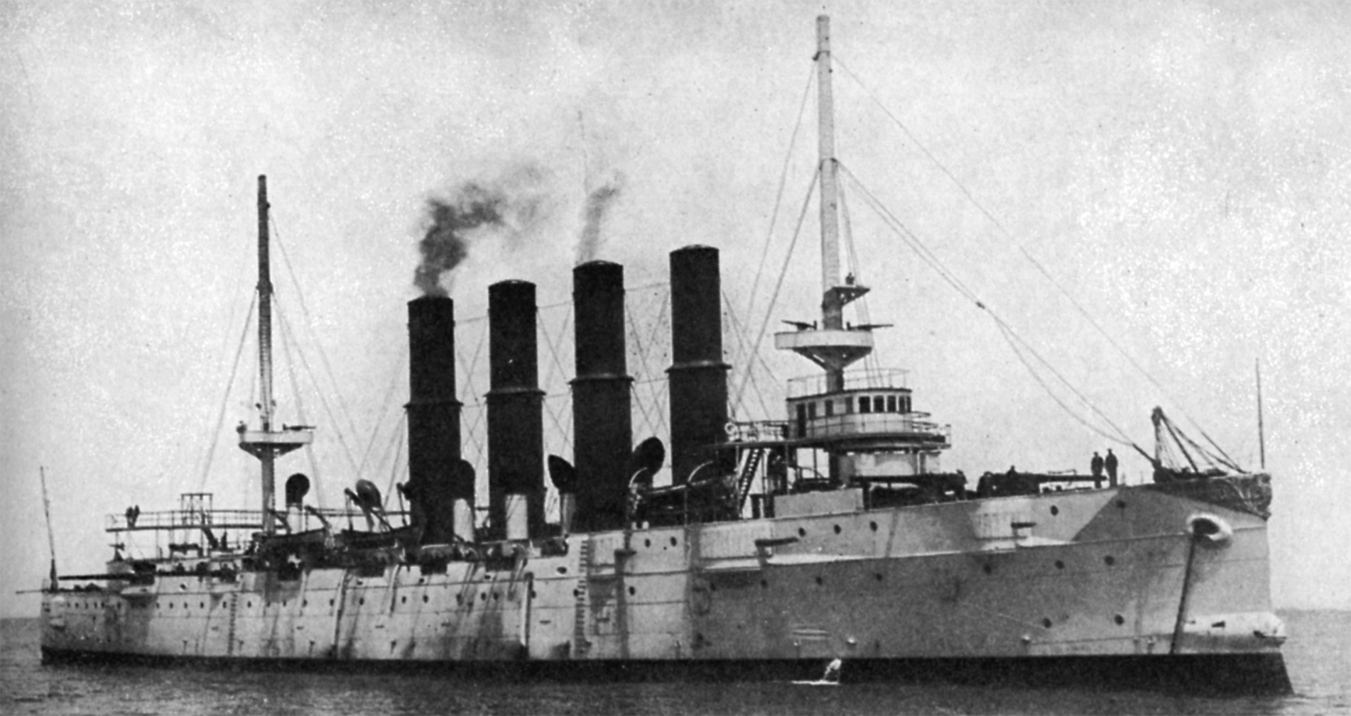
Russian cruiser Varyag (1899)

Varyag (Russian: Варя́г) sometimes also spelled Variag, was a Russian protected cruiser. Varyag became famous for her crew's stoicism at the Battle of...

Lendalfoot

Lendalfoot is a small village located on Carleton Bay, parish of Colmonell in the old district of Carrick, now South Ayrshire, about six miles (ten kilometres...

Ardmillan Castle

Ardmillan Castle is a ruinous Scottish castle dating from the late 16th century. It lies on the A77 on the edge of the Firth of Clyde south of Girvan....

Dumbarton Collegiate Church

The Collegiate Church of St Mary, Dumbarton, Scotland, was founded in about 1453 by Isabella, Countess of Lennox and Duchess of Albany. During the medieval...

Nearby Amenities

Located within 500m of 55.187907,-4.9084268
Pinbain Hill
Natural: peak
Lat/Long: 55.1880157/-4.9082568
Power: pole
Lat/Long: 55.1890991/-4.9156147
Power: pole
Lat/Long: 55.1898348/-4.9147022
Power: pole
Lat/Long: 55.190412/-4.9135781
Power: pole
Lat/Long: 55.1909812/-4.9124658
Power: pole
Lat/Long: 55.1915719/-4.911304
Power: pole
Lat/Long: 55.1921518/-4.910194
The data included in this document is from www.openstreetmap.org. The data is made available under ODbL.

Have you been to Pinbain Hill?

Leave your review of Pinbain Hill below (or comments, questions and feedback).