An Cruachan
Hill, Mountain in Inverness-shire
Scotland
An Cruachan

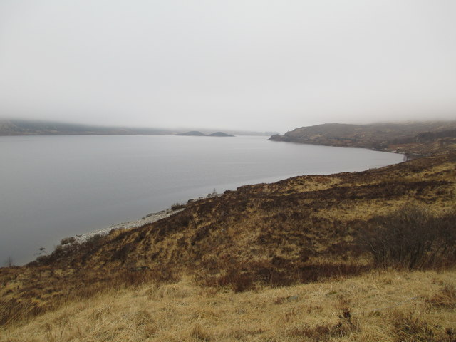
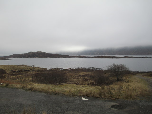
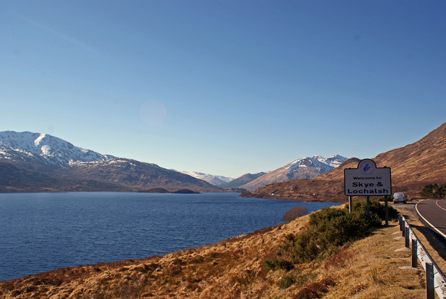
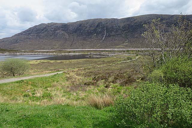
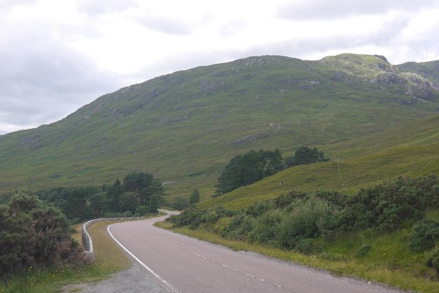
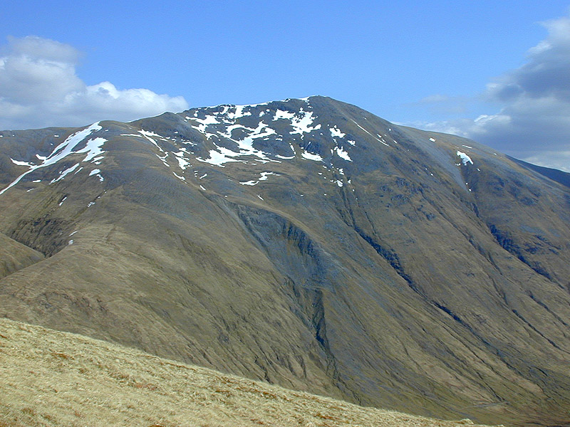
An Cruachan, located in Inverness-shire, Scotland, is a prominent hill/mountain standing at an elevation of 625 meters (2,051 feet). It is a part of the stunning Scottish Highlands and is situated near the village of Newtonmore. An Cruachan is a popular destination for hikers, nature enthusiasts, and those seeking panoramic views of the surrounding landscape.
The ascent of An Cruachan is relatively straightforward, with several established trails leading to its summit. The most commonly used route begins at the nearby Forestry Commission car park, from where hikers follow a well-marked path that gradually gains elevation. As they ascend, visitors are treated to breathtaking vistas of the Cairngorms National Park, including the iconic peaks of the Monadhliath Mountains.
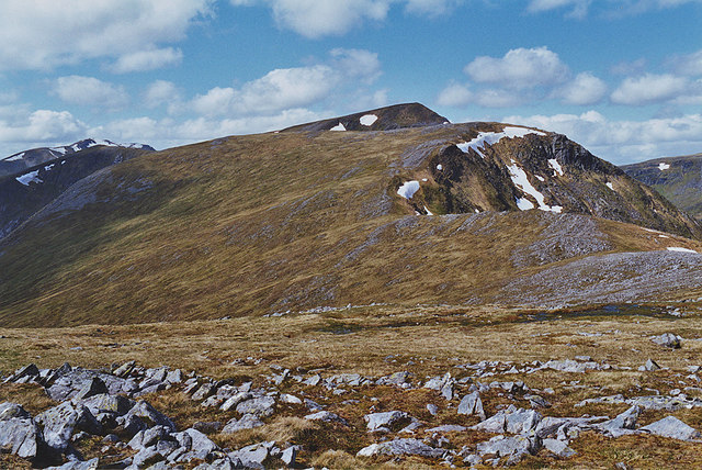
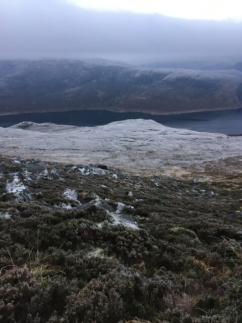
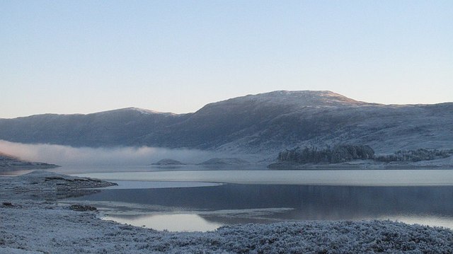
Upon reaching the summit, hikers are rewarded with a stunning 360-degree panoramic view of the surrounding area. On a clear day, it is possible to see as far as the Ben Nevis, the highest mountain in the British Isles. The summit also offers a fantastic vantage point to observe the diverse wildlife that inhabits the area, including red deer, mountain hares, and various bird species.
An Cruachan is a fantastic destination for outdoor enthusiasts throughout the year. In the warmer months, the hill/mountain is adorned with vibrant wildflowers and offers pleasant hiking conditions. However, during the winter, it transforms into a snowy wonderland, attracting mountaineers and winter sports enthusiasts seeking a more challenging experience.
Overall, An Cruachan is a majestic and accessible hill/mountain that provides a memorable experience for those seeking outdoor adventures and unparalleled natural beauty in Inverness-shire.
If you have any feedback on the listing, please let us know in the comments section below.
An Cruachan Images
Images are sourced within 2km of 57.149567/-5.0815072 or Grid Reference NH1310. Thanks to Geograph Open Source API. All images are credited.


An Cruachan is located at Grid Ref: NH1310 (Lat: 57.149567, Lng: -5.0815072)
Unitary Authority: Highland
Police Authority: Highlands and Islands
What 3 Words
///cashew.stammer.wove. Near Gairlochy, Highland
Nearby Locations
Related Wikis

Loch Cluanie
Loch Cluanie (Scottish Gaelic: Loch Cluanaidh) is a loch in the Northwest Highlands of Scotland at the south-east end of Glen Shiel. It is a reservoir...
Beinn Loinne
Beinn Loinne (also known as Druim nan Cnamh) (789 m) is a mountain in the Northwest Highlands of Scotland. It rises above the southern shore of Loch Cluanie...

Sgùrr nan Conbhairean
Sgùrr nan Conbhairean (Scottish Gaelic for 'peak of the dog-men') is a mountain in the Northwest Highlands of Scotland, lying north of Loch Cluanie and...
A' Chràlaig
A' Chralaig (Scottish Gaelic: A' Chràileag) is a mountain in the Northwest Highlands of Scotland, north of Loch Cluanie and south of Glen Affric. It is...

Loch Loyne
Loch Loyne is a loch in the Northwest Highlands of Scotland. Loch Loyne lies between Glen Garry and Glen Cluanie. The A87 road runs beside the eastern...

Am Bàthach
Am Bàthach is a Scottish mountain situated at the head of Glen Shiel, at the western end of Loch Cluanie some 38 km (24 mi) south east of Kyle of Lochalsh...

Mullach Fraoch-choire
Mullach Fraoch-choire is a 1,102-metre (3,615 ft) mountain – a Munro – in the Northwest Highlands of Scotland on a ridge extending north for 8 kilometres...

Aonach Shasuinn
Aonach Shasuinn (888 m) is a mountain in the Northwest Highlands of Scotland. It lies in Inverness-shire, on the southern side of Glen Affric. Taking the...
Have you been to An Cruachan?
Leave your review of An Cruachan below (or comments, questions and feedback).