Bofarnel Downs
Hill, Mountain in Cornwall
England
Bofarnel Downs

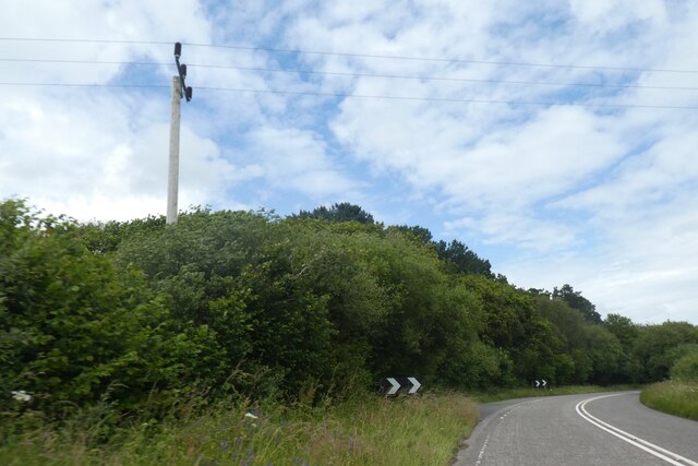
Bofarnel Downs is a picturesque hill located in Cornwall, England. Situated near the village of Bofarnel, this natural landmark offers breathtaking views and is a popular destination for outdoor enthusiasts and nature lovers.
Rising to a height of approximately 300 meters, Bofarnel Downs is characterized by its gently sloping grassy slopes, which are covered with heather and dotted with rocks. The hill's unique topography makes it an ideal spot for hiking, walking, and birdwatching. Visitors can indulge in leisurely strolls along well-maintained trails, taking in the stunning vistas of the surrounding countryside.
The hill is also home to a diverse range of flora and fauna. It boasts a rich variety of wildflowers, including bluebells and primroses, which blanket the hillsides in vibrant colors during the spring months. The area is a haven for various bird species, such as skylarks and meadow pipits, which can be seen and heard as they soar through the skies.
Bofarnel Downs is steeped in history and folklore. It is believed to have been an important site during ancient times, with evidence of prehistoric settlements and burial mounds found in the vicinity. Local legends speak of mystical beings and hidden treasures, adding an air of enchantment to the hill's allure.
Whether it's for a leisurely stroll, a chance to connect with nature, or a glimpse into Cornwall's ancient past, Bofarnel Downs offers visitors a serene and captivating experience amidst its idyllic surroundings.
If you have any feedback on the listing, please let us know in the comments section below.
Bofarnel Downs Images
Images are sourced within 2km of 50.441176/-4.6494955 or Grid Reference SX1163. Thanks to Geograph Open Source API. All images are credited.


Bofarnel Downs is located at Grid Ref: SX1163 (Lat: 50.441176, Lng: -4.6494955)
Unitary Authority: Cornwall
Police Authority: Devon and Cornwall
What 3 Words
///shades.contained.spite. Near Lostwithiel, Cornwall
Nearby Locations
Related Wikis
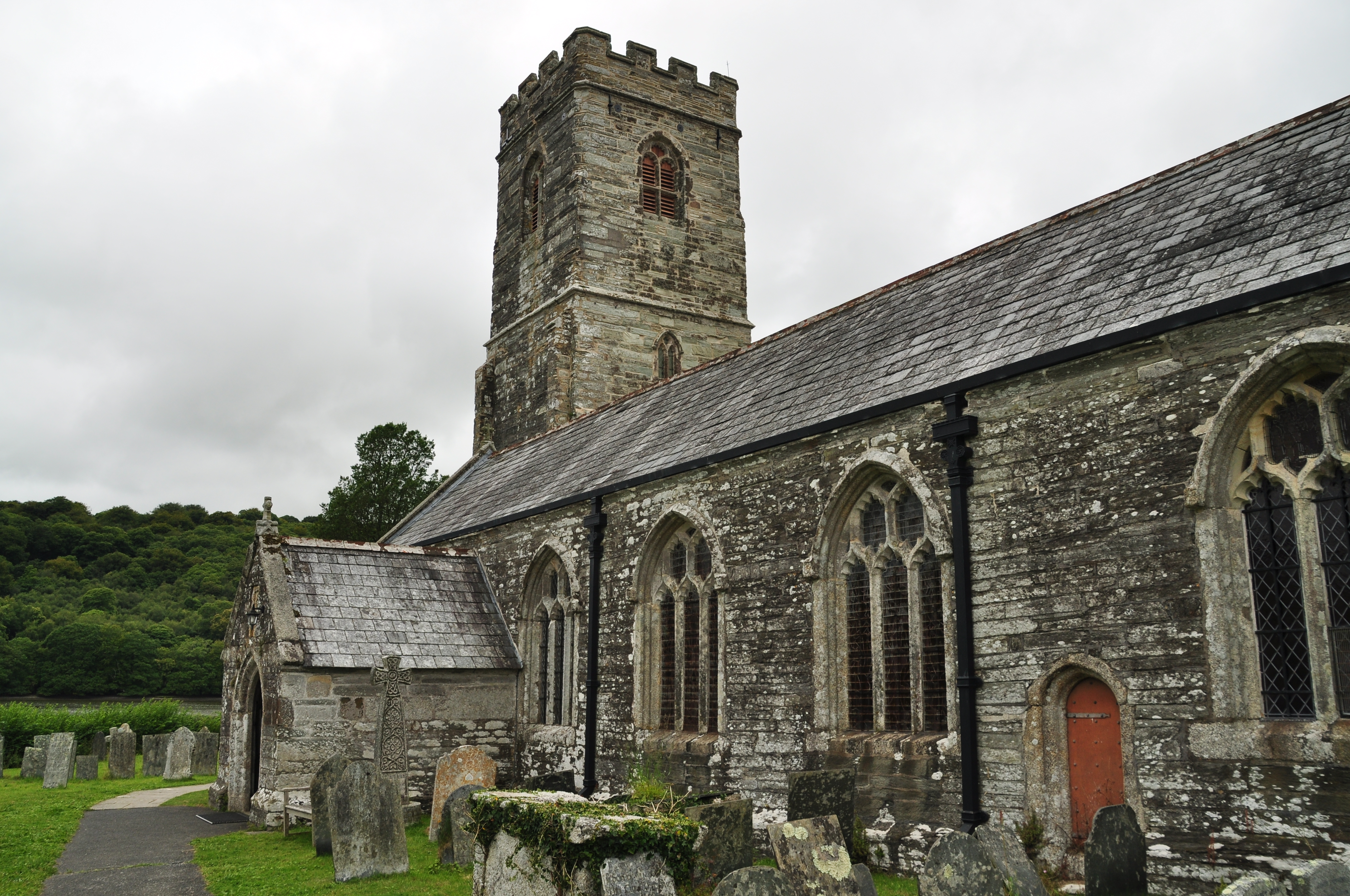
St Winnow's Church, St Winnow
St Winnow's Church, St Winnow is a Grade I listed parish church in the Church of England in St Winnow, Cornwall. == History == The church is probably built...

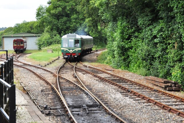
Bodmin Parkway railway station
Bodmin Parkway railway station (Cornish: Fordh Bosvena) is on the Cornish Main Line that serves the nearby town of Bodmin and other parts of mid-Cornwall...

Bofarnel
Bofarnel is a hamlet in Cornwall, England, in the United Kingdom. It lies within the civil parish of St Winnow, 6 miles (6.4 km) southeast of Bodmin and...
Glynn House
Glynn House is a Grade II* listed country estate near Cardinham in the county of Cornwall. It was once the seat of the Glynn family and later the seat...

Respryn Bridge
Respryn Bridge is a 15th-century granite and stone bridge over the River Fowey in the parish of Lanhydrock in Cornwall, England. The bridge is a Grade...
Cutmadoc
Cutmadoc is a hamlet in the parish of Lanhydrock (where the 2011 census population was included ), Cornwall, England. == References ==
Newton, Cornwall
Newton is a hamlet in the parish of Lanhydrock, Cornwall, England. == References ==
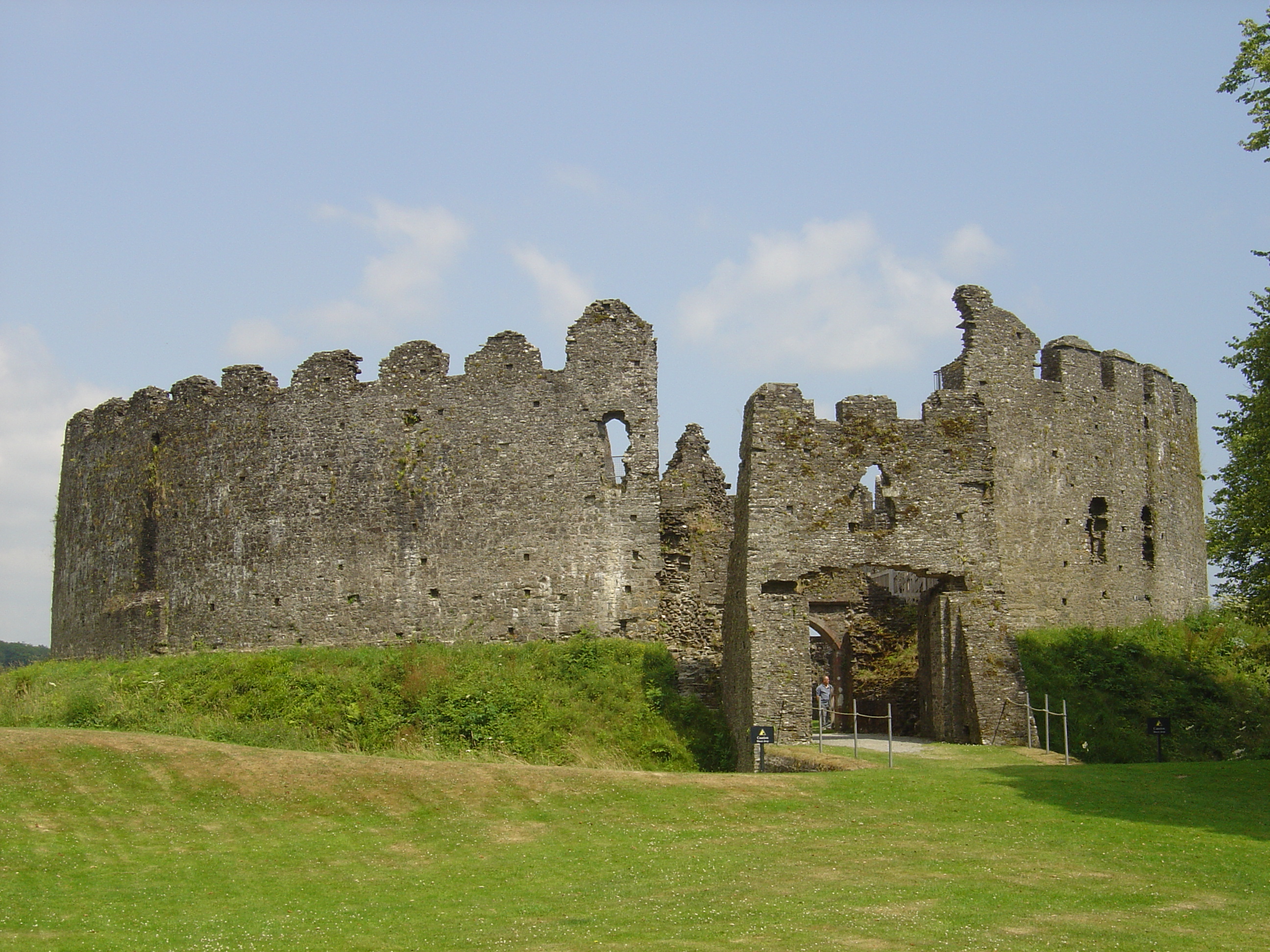
Restormel Castle
Restormel Castle (Cornish: Kastel Rostorrmel) lies by the River Fowey near Lostwithiel in Cornwall, England, UK. It is one of the four chief Norman castles...
Nearby Amenities
Located within 500m of 50.441176,-4.6494955Have you been to Bofarnel Downs?
Leave your review of Bofarnel Downs below (or comments, questions and feedback).