Bofarnel Downs
Downs, Moorland in Cornwall
England
Bofarnel Downs
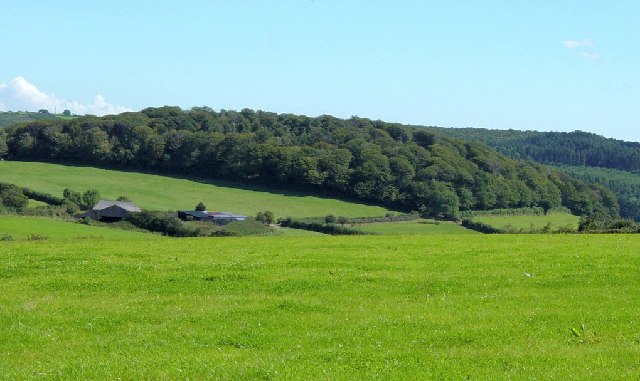
Bofarnel Downs is a picturesque area located in Cornwall, England. It is characterized by its rolling hills, expansive moorland, and stunning views of the surrounding countryside. The downs are covered in a variety of grasses, heather, and wildflowers, creating a colorful and vibrant landscape.
The area is home to a diverse range of wildlife, including birds of prey, small mammals, and insects. Visitors to Bofarnel Downs may have the opportunity to spot rare species such as the Dartford warbler or the adder snake.
The downs are a popular destination for hikers, nature lovers, and birdwatchers, who come to explore the network of trails that crisscross the area. The views from the higher points of the downs are particularly breathtaking, offering panoramic vistas of the surrounding countryside and coastline.
Overall, Bofarnel Downs is a unique and beautiful natural area that offers visitors the chance to experience the tranquility and beauty of the Cornwall countryside. Whether you are looking for a peaceful stroll or a challenging hike, Bofarnel Downs has something to offer for everyone.
If you have any feedback on the listing, please let us know in the comments section below.
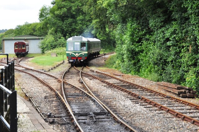
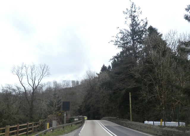
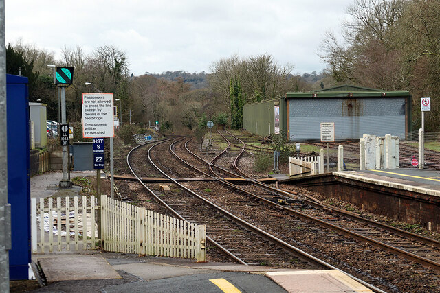
Bofarnel Downs Images
Images are sourced within 2km of 50.439377/-4.6530289 or Grid Reference SX1163. Thanks to Geograph Open Source API. All images are credited.


Bofarnel Downs is located at Grid Ref: SX1163 (Lat: 50.439377, Lng: -4.6530289)
Unitary Authority: Cornwall
Police Authority: Devon and Cornwall
What 3 Words
///recapture.someone.behalf. Near Lostwithiel, Cornwall
Nearby Locations
Related Wikis

Bofarnel
Bofarnel is a hamlet in Cornwall, England, in the United Kingdom. It lies within the civil parish of St Winnow, 6 miles (6.4 km) southeast of Bodmin and...

Bodmin Parkway railway station
Bodmin Parkway railway station (Cornish: Fordh Bosvena) is on the Cornish Main Line that serves the nearby town of Bodmin and other parts of mid-Cornwall...
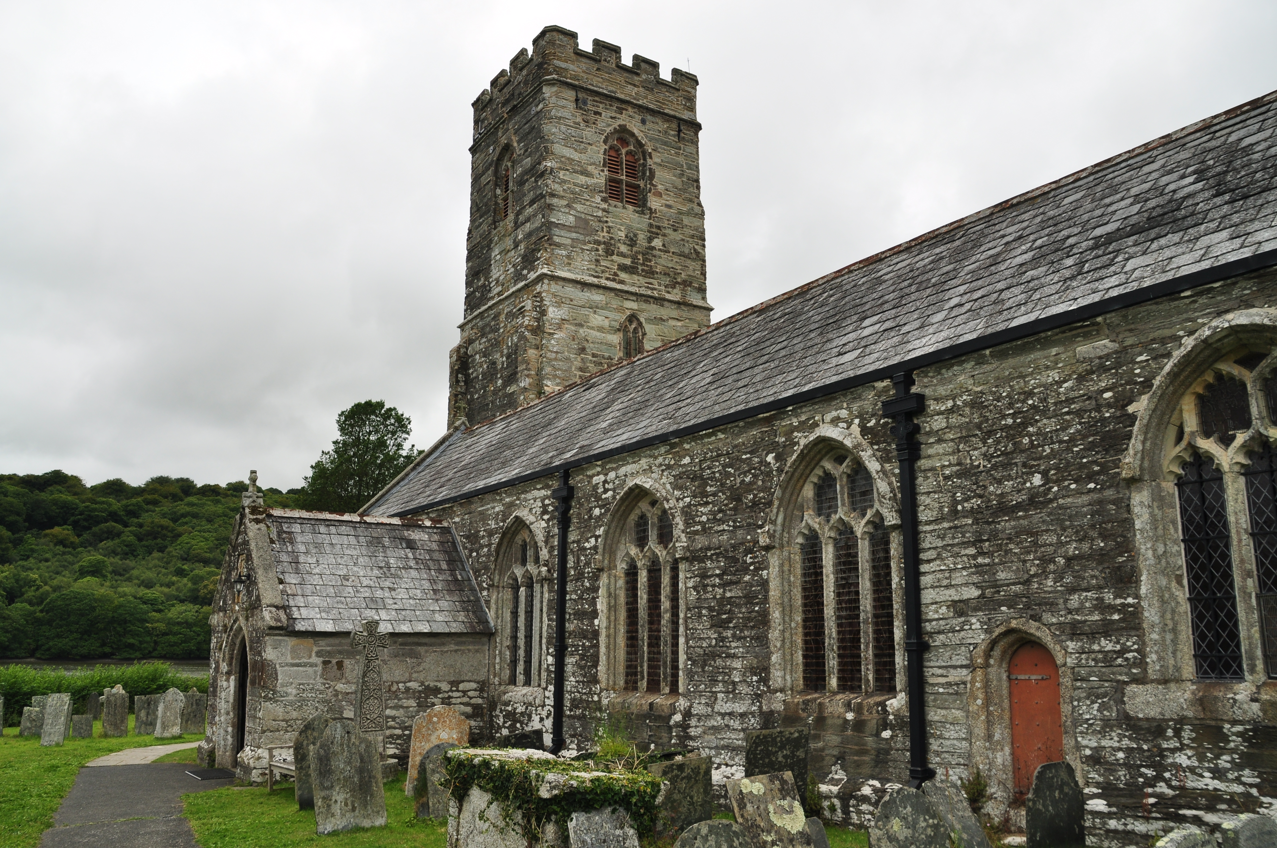
St Winnow's Church, St Winnow
St Winnow's Church, St Winnow is a Grade I listed parish church in the Church of England in St Winnow, Cornwall. == History == The church is probably built...
Glynn House
Glynn House is a Grade II* listed country estate near Cardinham in the county of Cornwall. It was once the seat of the Glynn family and later the seat...
Nearby Amenities
Located within 500m of 50.439377,-4.6530289Have you been to Bofarnel Downs?
Leave your review of Bofarnel Downs below (or comments, questions and feedback).