Meall Dubh
Hill, Mountain in Argyllshire
Scotland
Meall Dubh
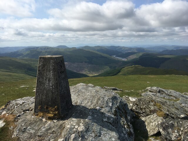
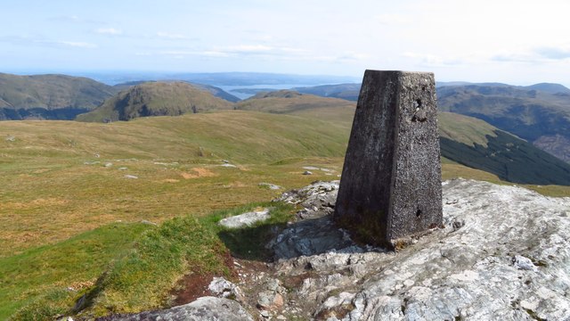
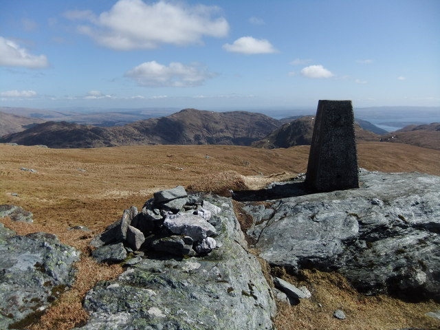
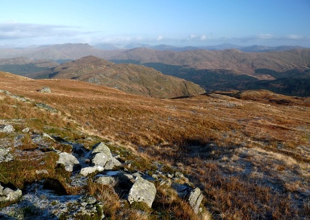
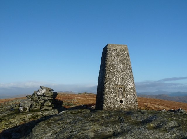
Meall Dubh, located in Argyllshire, Scotland, is a prominent hill/mountain that offers breathtaking views and a variety of outdoor activities for nature enthusiasts. Standing at an impressive height of approximately 759 meters (2,490 feet), it is a popular destination for hikers, climbers, and photographers.
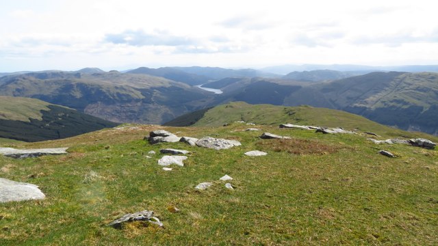
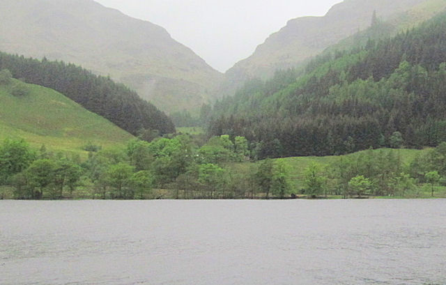
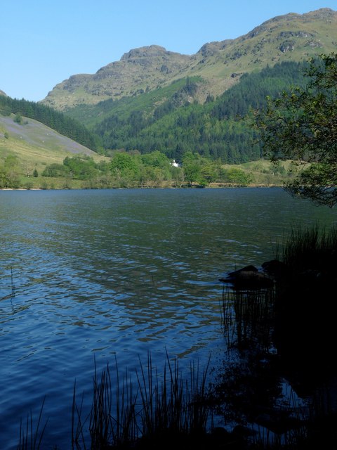
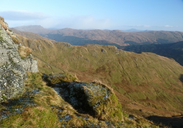
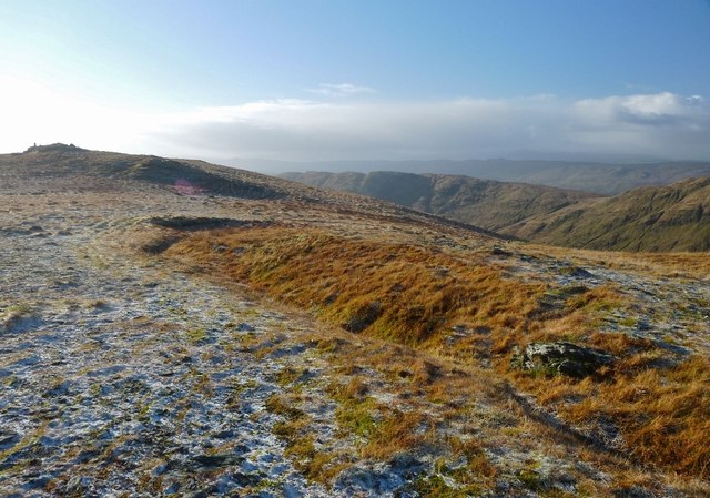
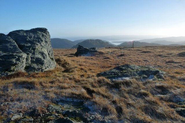
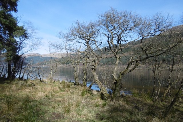
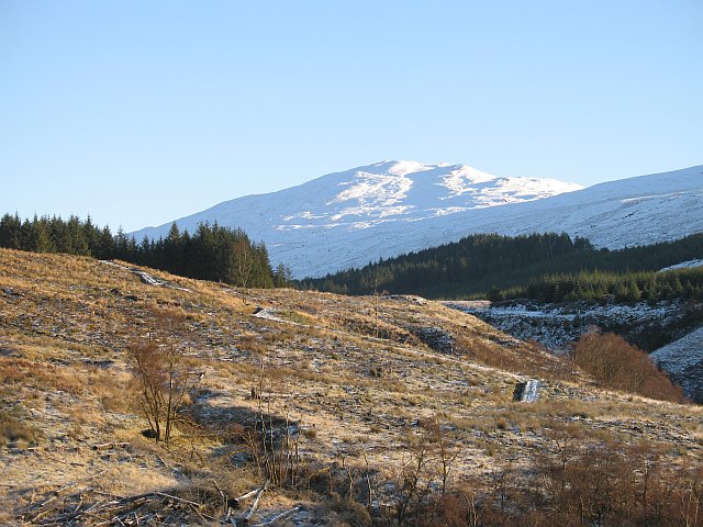
The hill/mountain is characterized by its rugged and rocky terrain, with steep slopes that provide a challenging yet rewarding climb. As hikers ascend, they are treated to stunning panoramic vistas of the surrounding landscape, including the picturesque valleys, lochs, and distant mountains.
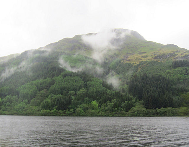
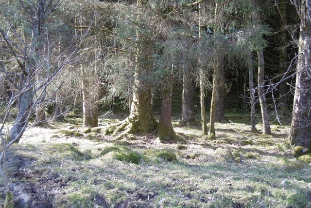
Flourishing with a diverse range of flora and fauna, Meall Dubh boasts an abundance of natural beauty. The hill is adorned with heather, moss, and wildflowers, creating a vibrant and colorful landscape during the warmer months. Native wildlife can also be spotted, with sightings of red deer, mountain hares, and various bird species, adding to the allure of this natural haven.
For those seeking adventure, Meall Dubh offers opportunities for rock climbing and bouldering, with its craggy cliffs and rocky outcrops providing an exhilarating challenge for climbers of all levels. The hill/mountain also serves as an excellent location for landscape photography, with its dramatic and ever-changing light conditions offering a plethora of captivating compositions.
Overall, Meall Dubh in Argyllshire is a must-visit destination for outdoor enthusiasts, providing a magnificent natural playground that showcases the awe-inspiring beauty of the Scottish Highlands.
If you have any feedback on the listing, please let us know in the comments section below.
Meall Dubh Images
Images are sourced within 2km of 56.072628/-5.0250192 or Grid Reference NS1190. Thanks to Geograph Open Source API. All images are credited.


Meall Dubh is located at Grid Ref: NS1190 (Lat: 56.072628, Lng: -5.0250192)
Unitary Authority: Argyll and Bute
Police Authority: Argyll and West Dunbartonshire
What 3 Words
///quits.returns.concerts. Near Sandbank, Argyll & Bute
Nearby Locations
Related Wikis

Beinn Mhòr (Cowal)
Beinn Mhòr is the highest mountain on the Cowal Peninsula west of Loch Eck in Argyll and Bute, Scotland. It has a high topographic prominence to height...

Loch Eck
Loch Eck (Gaelic: Loch Eich) is a freshwater loch located on the Cowal peninsula, north of Dunoon, Argyll and Bute, Scotland. It is seven miles (11 kilometres...
A815 road (Scotland)
The A815 is a major road located in Argyll and Bute, Scotland. It runs for about 37 miles (60 km) from the A83, near Cairndow, in the north to Toward...
Creag Tharsuinn
Creag Tharsuinn (643 m) is a mountain in the Arrochar Alps of Scotland. It lies in the Cowal peninsula, Argyll and Bute. Taking the form of a long ridge...
Have you been to Meall Dubh?
Leave your review of Meall Dubh below (or comments, questions and feedback).