Highbridge

Settlement in Hampshire Winchester

England

Highbridge

Allbrook Way heading to the M3
Allbrook Way heading to the M3 Credit: Steve Daniels

Highbridge is a picturesque village located in the county of Hampshire, England. Situated in the Test Valley district, it is surrounded by stunning countryside and is known for its tranquil and idyllic setting.

The village is nestled on the banks of the River Test, a renowned chalk stream that attracts fishing enthusiasts from all over the country. The river meanders through Highbridge, adding to the charm of the area and providing a beautiful backdrop for leisurely walks and picnics.

Highbridge is a small village with a close-knit community. It has a population of around 500 residents who enjoy the peacefulness and charm of rural life. The village is made up of a mix of traditional thatched cottages, period houses, and newer developments.

Despite its small size, Highbridge has a range of amenities to offer its residents. There is a local pub, The Trout Inn, which is a popular meeting place for locals and visitors alike. The village also has a community hall, which hosts various events and activities throughout the year, fostering a strong sense of community spirit.

For those seeking outdoor activities, Highbridge is surrounded by an abundance of natural beauty. The nearby Test Way, a long-distance footpath, provides opportunities for walking and exploring the stunning countryside. The village is also within close proximity to the New Forest National Park, offering further opportunities for outdoor pursuits.

Highbridge is a charming and peaceful village, perfect for those who appreciate the beauty of nature and a tight-knit community.

If you have any feedback on the listing, please let us know in the comments section below.
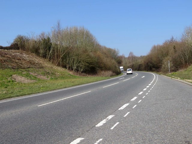
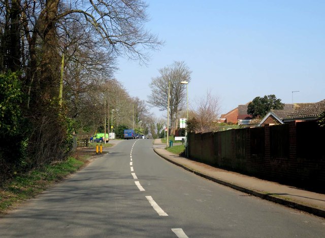
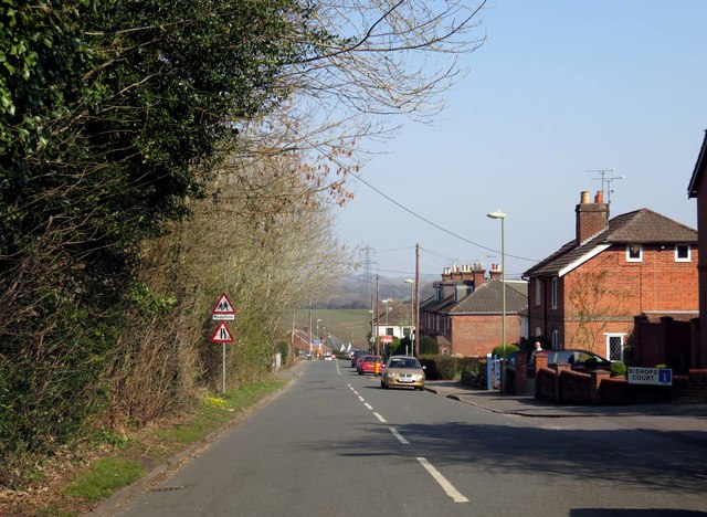
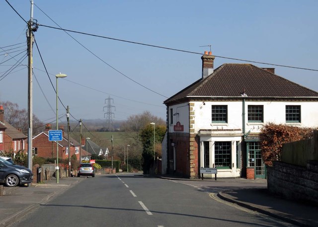
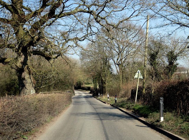
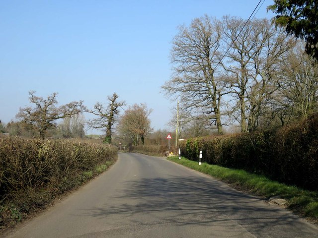
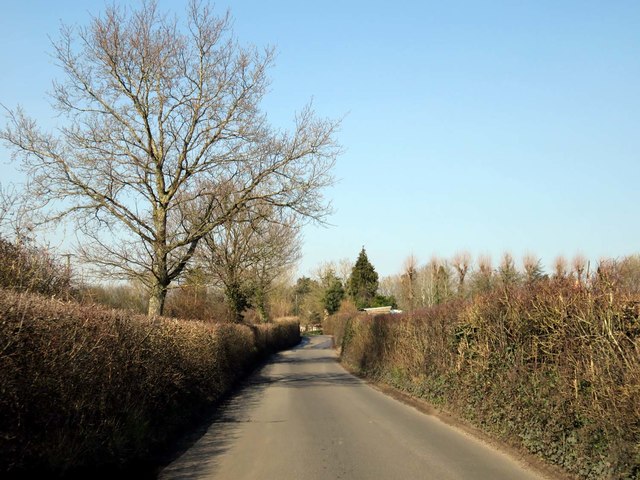
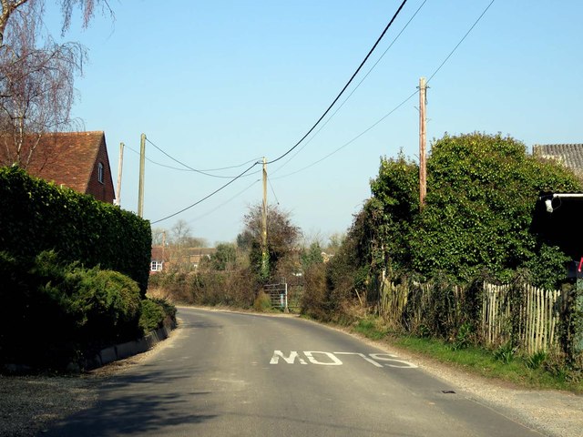
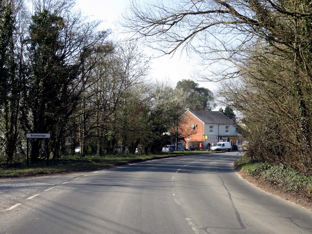
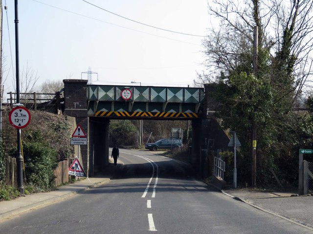
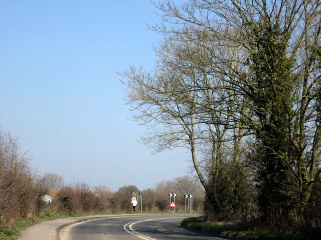
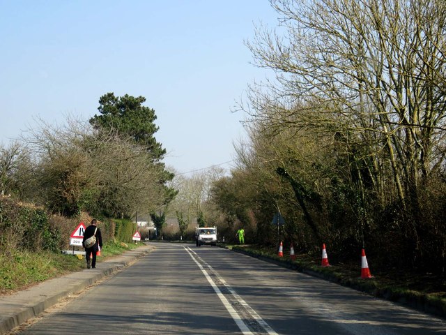
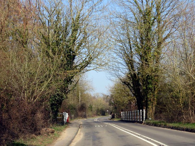
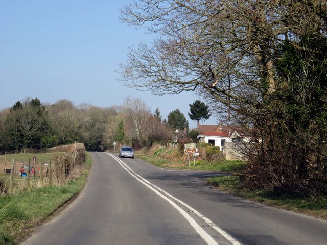
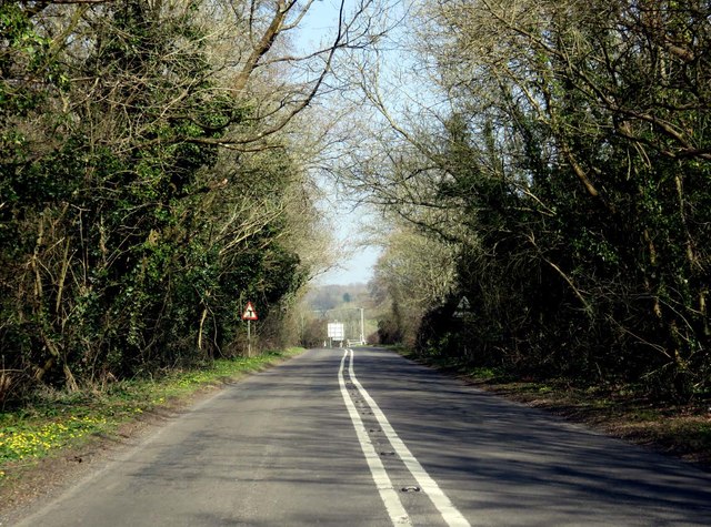
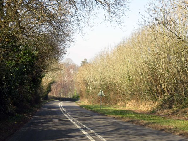
Highbridge Images

Images are sourced within 2km of 50.988702/-1.336027 or Grid Reference SU4621. Thanks to Geograph Open Source API. All images are credited.

Allbrook Way heading to the M3
Church Road on Burrow Hill
Church Road in Stoke Common
Church Road passes the Foresters Arms
Church Road leaving Stoke Common
Bishopstoke Lane to Brambridge
Bishopstoke Lane passes Hill's Farm
Church Lane through Brambridge
Railway bridge over Highbridge Road
Highbridge Road to Twyford
Highbridge Road crosses the River Itchen
Brambridge Road by Colden Common
Highbridge Road to Twyford
Northbound M3, Exit at Junction 12 The M3 motorway runs for 59 miles from Sunbury-on-Thames to Southampton. Construction started 1968 and was finally completed in 1995. The Winchester bypass through Twyford Downs was the most controversial section to be built.
Wikipedia: <span class="nowrap"><a title="http://en.wikipedia.org/wiki/M3_motorway_(Great_Britain)" rel="nofollow ugc noopener" href="http://en.wikipedia.org/wiki/M3_motorway_(Great_Britain)">Link</a><img style="margin-left:2px;" alt="External link" title="External link - shift click to open in new window" src="https://s1.geograph.org.uk/img/external.png" width="10" height="10"/></span>
Northbound M3, Exit at Junction 12
The M3 motorway runs for 59 miles from Sunbury-on-Thames to Southampton. Construction started 1968 and was finally completed in 1995. The Winchester bypass through Twyford Downs was the most controversial section to be built. Wikipedia: LinkExternal link
Show me another place!

Highbridge is located at Grid Ref: SU4621 (Lat: 50.988702, Lng: -1.336027)

Administrative County: Hampshire

District: Winchester

Police Authority: Hampshire

What 3 Words

///forget.famous.humble. Near Colden Common, Hampshire

Nearby Locations

Highbridge Brambridge Park

Related Wikis

St Mary's Church, Bishopstoke

The Church of St Mary's is an Anglican Church in Bishopstoke, Hampshire. St Mary's was designed by Edward Prioleau Warren and built during 1890/91 by Wheeler...

Colden Common

Colden Common is a civil parish in the Winchester District of Hampshire, England, approximately 5 miles south of the city of Winchester, covering an area...

Boyatt Wood

Boyatt Wood is a small residential area and civil parish north-west of Eastleigh in Hampshire named locally after the wooded area to the south of Boyatt...

Twyford Moors

Twyford Moors is a hamlet in the civil parish of Colden Common in the City of Winchester district of Hampshire, England. It is 1+1⁄4 miles (2.0 km) south...

Allbrook

Allbrook is a settlement and civil parish in the Borough of Eastleigh in Hampshire, England. == Governance == Before 1974 the area formed part of the municipal...

Lakeside School, Chandler's Ford

Lakeside School is an 11–16 boys special school with specialist SEN status located in Chandler's Ford, Hampshire, England. The head teacher is Mr Gareth...

Crestwood Community School

Crestwood Community School (known as Crestwood College prior to its name change in August 2017) is a coeducational secondary school, located in Eastleigh...

Otterbourne

Otterbourne is a village in Hampshire, England. It is located approximately four miles (6.4 km) south of Winchester and eight miles (13 km) north of Southampton...

Nearby Amenities

Located within 500m of 50.988702,-1.336027
Odbl: clean
Lat/Long: 50.9887662/-1.3429324
Odbl: clean
Lat/Long: 50.9892922/-1.342635
Odbl: clean
Lat/Long: 50.9900016/-1.3423388
Odbl: clean
Lat/Long: 50.9904779/-1.3421834
Post Box
Brand: Royal Mail
Brand Wikidata: Q638098
Brand Wikipedia: en:Royal Mail
Collection Plate: CP7
Collection Times: Mo-Fr 15:00; Sa 07:00
Operator: Royal Mail
Operator Wikidata: Q638098
Post Box Type: lamp
Ref: SO50 358
Royal Cypher: EIIR
Royal Cypher Wikidata: Q33102113
Lat/Long: 50.9911005/-1.3340059
Power: tower
Ref: 4YC 42
Source Ref: extrapolation
Lat/Long: 50.9848426/-1.333535
Power: tower
Ref: 4YC 41
Source Ref: extrapolation
Lat/Long: 50.9852155/-1.3384788
Bus Stop
Highbridge Farm
Naptan AtcoCode: 1900HA110437
Naptan Bearing: E
Naptan CommonName: Highbridge Farm
Naptan NaptanCode: hamdawpj
Naptan Street: Highbridge Road
Naptan Verified: no
Shelter: no
Source: naptan_import
Lat/Long: 50.9882165/-1.3404775
Bus Stop
Highbridge Farm
Naptan AtcoCode: 1900HA110438
Naptan Bearing: W
Naptan CommonName: Highbridge Farm
Naptan NaptanCode: hamdawmp
Naptan Street: Highbridge Road
Naptan Verified: no
Shelter: no
Source: naptan_import
Lat/Long: 50.9881607/-1.3401506
Bus Stop
Wardle Road
Bench: no
Bin: no
Bus: yes
Lit: no
Naptan AtcoCode: 1900HA110439
Naptan Bearing: NE
Naptan CommonName: Wardle Road
Naptan Crossing: Wardle Road
Naptan NaptanCode: hamdgawd
Naptan Street: Highbridge Road
Naptan Verified: no
Public Transport: platform
Shelter: no
Source: naptan_import
Tactile Paving: no
Lat/Long: 50.9914441/-1.3340055
Bus Stop
Wardle Road
Bench: no
Bin: no
Bus: yes
Lit: no
Naptan AtcoCode: 1900HA110440
Naptan Bearing: SW
Naptan CommonName: Wardle Road
Naptan Crossing: Wardle Road
Naptan NaptanCode: hamdgawt
Naptan Street: Highbridge Road
Naptan Verified: no
Public Transport: platform
Shelter: no
Source: naptan_import
Tactile Paving: no
Lat/Long: 50.9916573/-1.3335465
Barrier: stile
Foot: yes
Material: wood
Stile: stepover
Lat/Long: 50.9920775/-1.3329326
Barrier: kissing_gate
Foot: yes
Lat/Long: 50.9923062/-1.3329079
Highbridge
Place: village
Wikidata: Q11709775
Lat/Long: 50.9909371/-1.3337901
The data included in this document is from www.openstreetmap.org. The data is made available under ODbL.

Have you been to Highbridge?

Leave your review of Highbridge below (or comments, questions and feedback).