Brambridge Park

Downs, Moorland in Hampshire Winchester

England

Brambridge Park

Allbrook Way heading to the M3
Allbrook Way heading to the M3 Credit: Steve Daniels

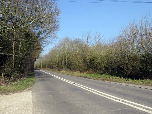
Brambridge Park, located in Hampshire, is a picturesque parkland encompassing both downs and moorland landscapes. Spanning over a vast area, this park offers visitors a unique and diverse natural setting to explore and enjoy.

The downs section of Brambridge Park showcases rolling hills and open grasslands, providing panoramic views of the surrounding countryside. Visitors can take leisurely walks along the well-maintained paths, and appreciate the tranquility and beauty of the downs. The area is also home to a variety of wildlife, including rabbits, foxes, and a wide range of bird species, making it a popular spot for nature enthusiasts and birdwatchers.

On the other hand, the moorland section of Brambridge Park offers a contrasting landscape with its heathland and gorse-covered terrain. This part of the park is known for its unique flora and fauna, including rare species of plants and insects. The moorland is also dotted with small ponds and streams, adding to the natural charm of the area.

Throughout the park, there are several picnic areas and benches, providing opportunities for visitors to relax and enjoy a meal surrounded by the beauty of nature. Additionally, Brambridge Park offers various recreational activities, including horse riding and cycling, with designated trails and tracks for these pursuits.

Overall, Brambridge Park in Hampshire is a haven for nature lovers and outdoor enthusiasts, offering a combination of downs and moorland landscapes, diverse wildlife, and recreational opportunities. Whether it's a peaceful stroll, wildlife spotting, or simply enjoying a picnic, this park provides a serene and captivating experience for all who visit.

If you have any feedback on the listing, please let us know in the comments section below.

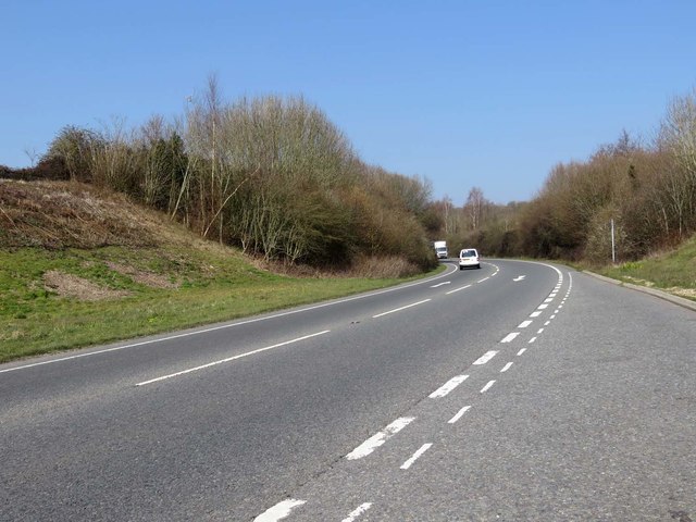
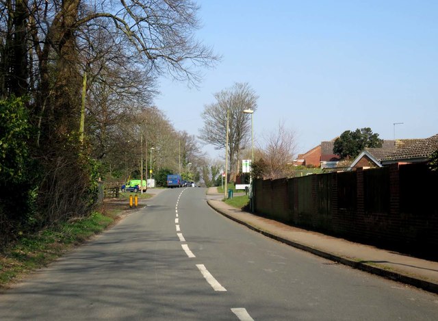
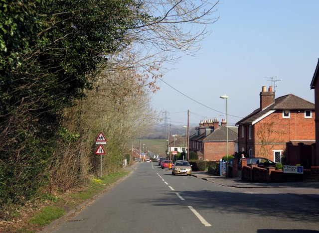
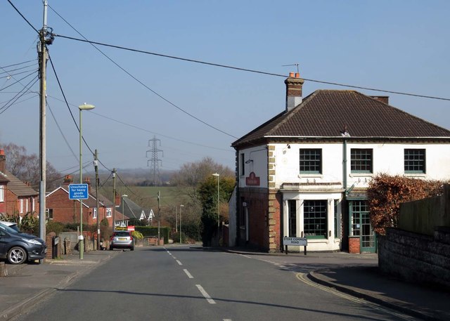
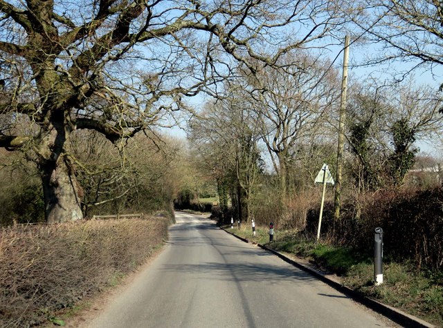
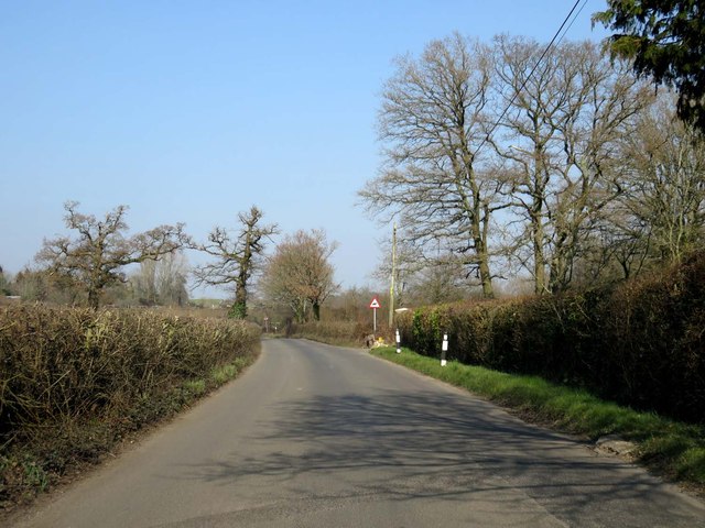
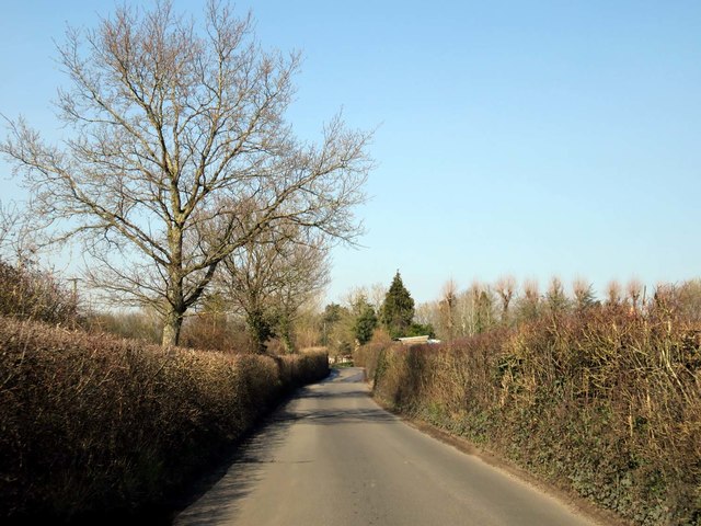
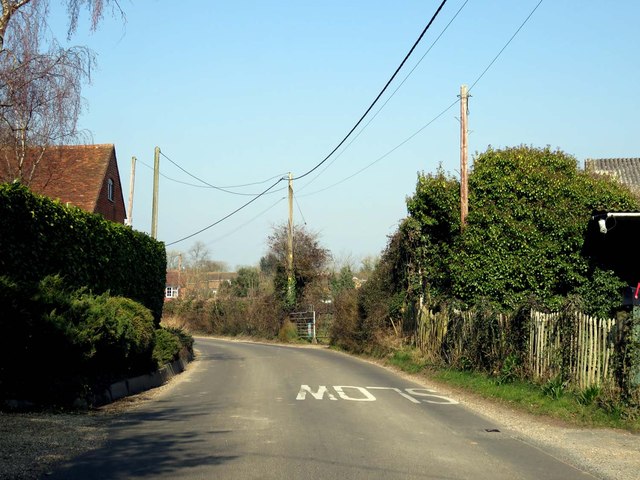
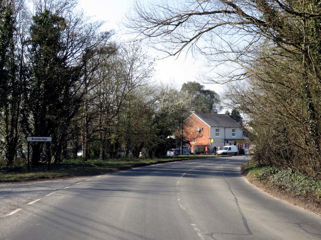
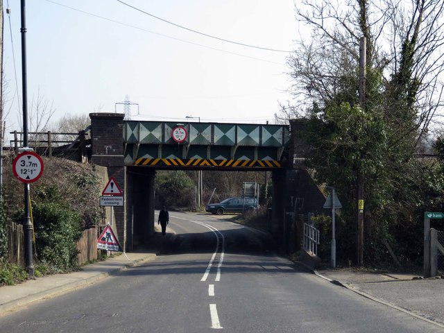
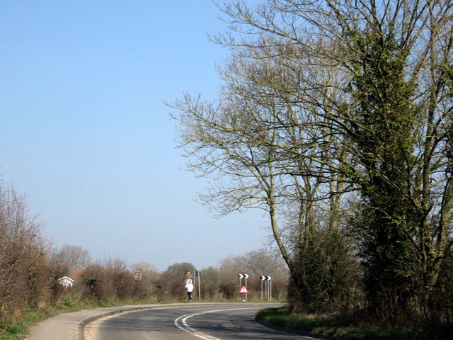
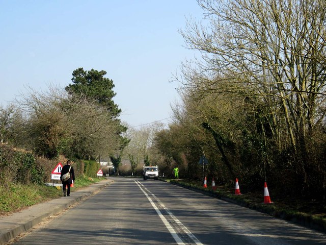
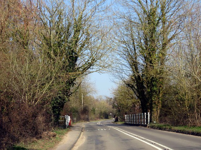
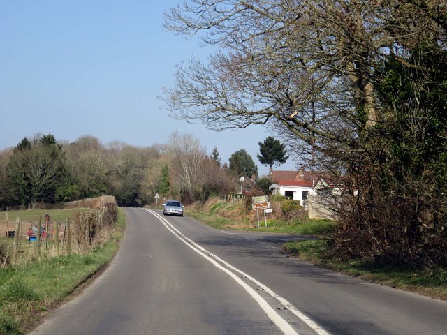
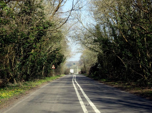
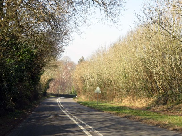
Brambridge Park Images

Images are sourced within 2km of 50.995228/-1.3327079 or Grid Reference SU4621. Thanks to Geograph Open Source API. All images are credited.

Allbrook Way heading to the M3
Church Road on Burrow Hill
Church Road in Stoke Common
Church Road passes the Foresters Arms
Church Road leaving Stoke Common
Bishopstoke Lane to Brambridge
Bishopstoke Lane passes Hill's Farm
Church Lane through Brambridge
Railway bridge over Highbridge Road
Highbridge Road to Twyford
Highbridge Road crosses the River Itchen
Brambridge Road by Colden Common
Highbridge Road to Twyford
Show me another place!

Brambridge Park is located at Grid Ref: SU4621 (Lat: 50.995228, Lng: -1.3327079)

Administrative County: Hampshire

District: Winchester

Police Authority: Hampshire

What 3 Words

///mild.patio.charm. Near Colden Common, Hampshire

Nearby Locations

Highbridge Brambridge Park

Related Wikis

Twyford Moors

Twyford Moors is a hamlet in the civil parish of Colden Common in the City of Winchester district of Hampshire, England. It is 1+1⁄4 miles (2.0 km) south...

Colden Common

Colden Common is a civil parish in the Winchester District of Hampshire, England, approximately 5 miles south of the city of Winchester, covering an area...

Otterbourne

Otterbourne is a village in Hampshire, England. It is located approximately four miles (6.4 km) south of Winchester and eight miles (13 km) north of Southampton...

St Mary's Church, Bishopstoke

The Church of St Mary's is an Anglican Church in Bishopstoke, Hampshire. St Mary's was designed by Edward Prioleau Warren and built during 1890/91 by Wheeler...

Nearby Amenities

Located within 500m of 50.995228,-1.3327079
Pub
The Brambridge Arms
Addr City: Winchester
Addr Housenumber: 18
Addr Postcode: SO50 6HZ
Addr Street: Church Lane
Addr Suburb: Colden Common
Real Ale: yes
Lat/Long: 50.9931061/-1.3279116
Brambridge
Place: village
Wikidata: Q4956137
Lat/Long: 50.993022/-1.3291487
Barrier: kissing_gate
Foot: yes
Lat/Long: 50.9928002/-1.327136
Post Box
Brand: Royal Mail
Brand Wikidata: Q638098
Brand Wikipedia: en:Royal Mail
Collection Plate: CP7
Collection Times: Mo-Fr 15:00; Sa 07:00
Operator: Royal Mail
Operator Wikidata: Q638098
Post Box Type: lamp
Ref: SO50 358
Royal Cypher: EIIR
Royal Cypher Wikidata: Q33102113
Lat/Long: 50.9911005/-1.3340059
Post Box
Brand: Royal Mail
Brand Wikidata: Q638098
Brand Wikipedia: en:Royal Mail
Collection Plate: CP5
Collection Times: Mo-Fr 15:00; Sa 07:00
Collection Times Checked: 2018-12-26
Operator: Royal Mail
Operator Wikidata: Q638098
Post Box Type: lamp
Ref: SO50 33
Royal Cypher: EIIR
Royal Cypher Wikidata: Q33102113
Lat/Long: 50.9927859/-1.3274322
Bus Stop
Wardle Road
Bench: no
Bin: no
Bus: yes
Lit: no
Naptan AtcoCode: 1900HA110439
Naptan Bearing: NE
Naptan CommonName: Wardle Road
Naptan Crossing: Wardle Road
Naptan NaptanCode: hamdgawd
Naptan Street: Highbridge Road
Naptan Verified: no
Public Transport: platform
Shelter: no
Source: naptan_import
Tactile Paving: no
Lat/Long: 50.9914441/-1.3340055
Bus Stop
Wardle Road
Bench: no
Bin: no
Bus: yes
Lit: no
Naptan AtcoCode: 1900HA110440
Naptan Bearing: SW
Naptan CommonName: Wardle Road
Naptan Crossing: Wardle Road
Naptan NaptanCode: hamdgawt
Naptan Street: Highbridge Road
Naptan Verified: no
Public Transport: platform
Shelter: no
Source: naptan_import
Tactile Paving: no
Lat/Long: 50.9916573/-1.3335465
Bus Stop
Green Pastures
Bench: no
Bin: no
Bus: yes
Lit: no
Naptan AtcoCode: 1900HA110441
Naptan Bearing: SW
Naptan CommonName: Green Pastures
Naptan Crossing: Church Lane
Naptan NaptanCode: hamdgdtj
Naptan Street: Highbridge Road
Naptan Verified: no
Public Transport: platform
Shelter: no
Source: naptan_import
Tactile Paving: no
Lat/Long: 50.9935924/-1.3306832
Bus Stop
Green Pastures
Bench: no
Bin: no
Bus: yes
Lit: no
Naptan AtcoCode: 1900HA110442
Naptan Bearing: NE
Naptan CommonName: Green Pastures
Naptan Crossing: Church Lane
Naptan NaptanCode: hamdgdwj
Naptan Street: Highbridge Road
Naptan Verified: no
Public Transport: platform
Shelter: no
Source: naptan_import
Tactile Paving: no
Lat/Long: 50.993878/-1.3303086
Bus Stop
Dog and Crook Ph
Bench: no
Bin: no
Bus: yes
Lit: no
Naptan AtcoCode: 1900HA110443
Naptan Bearing: NW
Naptan CommonName: Dog and Crook Ph
Naptan Crossing: Highbridge Road
Naptan NaptanCode: hamdgjpw
Naptan Street: Church Lane
Naptan Verified: no
Public Transport: platform
Shelter: no
Source: naptan_import
Tactile Paving: no
Lat/Long: 50.993524/-1.3281763
Bus Stop
Dog and Crook Ph
Bench: no
Bin: no
Bus: yes
Lit: no
Naptan AtcoCode: 1900HA110444
Naptan Bearing: SE
Naptan CommonName: Dog and Crook Ph
Naptan Crossing: Highbridge Road
Naptan NaptanCode: hamdgjtg
Naptan Street: Church Lane
Naptan Verified: no
Public Transport: platform
Shelter: no
Source: naptan_import
Tactile Paving: no
Lat/Long: 50.9934599/-1.3279635
Addr City: Winchester
Lat/Long: 50.9975687/-1.3356727
Addr City: Winchester
Lat/Long: 50.9979487/-1.3351861
Addr City: Winchester
Lat/Long: 50.9977659/-1.3347702
Waterway: weir
Lat/Long: 50.9953566/-1.338269
Addr City: Winchester
Lat/Long: 50.9972589/-1.3357859
Addr City: Winchester
Lat/Long: 50.9964635/-1.3366056
Addr City: Winchester
Lat/Long: 50.9970395/-1.334478
Addr City: Winchester
Lat/Long: 50.997911/-1.3354137
Addr City: Winchester
Lat/Long: 50.9978513/-1.3356116
Addr City: Winchester
Lat/Long: 50.9974708/-1.3340108
Addr City: Winchester
Lat/Long: 50.9958412/-1.3349993
Addr City: Winchester
Lat/Long: 50.9968377/-1.334006
Addr City: Winchester
Lat/Long: 50.9969963/-1.3358651
Addr City: Winchester
Lat/Long: 50.9953717/-1.3373886
Addr City: Winchester
Lat/Long: 50.9962613/-1.3362591
Addr City: Winchester
Lat/Long: 50.9949517/-1.3355601
Addr City: Winchester
Lat/Long: 50.9978612/-1.3349609
Railway: turntable
Lat/Long: 50.9966792/-1.3361531
Disused Shop: yes
Lat/Long: 50.9929082/-1.3276935
Addr City: Winchester
Lat/Long: 50.9965165/-1.3343161
Cafe
Brambridge Park Garden Centre Café
Lat/Long: 50.9960078/-1.336028
Barrier: stile
Foot: yes
Material: wood
Stile: stepover
Lat/Long: 50.9920775/-1.3329326
Barrier: kissing_gate
Foot: yes
Lat/Long: 50.9923062/-1.3329079
Barrier: cycle_barrier
Material: wood
Lat/Long: 50.9972466/-1.3335534
Entrance: yes
Lat/Long: 50.9960456/-1.3355575
Barrier: kissing_gate
Lat/Long: 50.9971843/-1.3335907
Barrier: kissing_gate
Lat/Long: 50.9950302/-1.3333089
Highbridge
Place: village
Wikidata: Q11709775
Lat/Long: 50.9909371/-1.3337901
The data included in this document is from www.openstreetmap.org. The data is made available under ODbL.

Have you been to Brambridge Park?

Leave your review of Brambridge Park below (or comments, questions and feedback).