A' Chìoch

Hill, Mountain in Inverness-shire

Scotland

A' Chìoch

A’ Chràileag from A’ Chioch Lots of snow around for the last week of May 1978.
A’ Chràileag from A’ Chioch Credit: Alan Reid

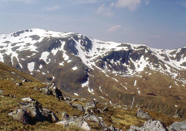
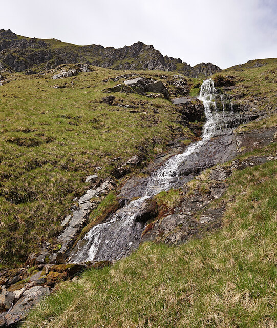
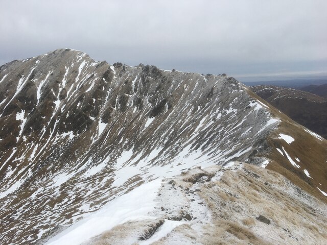
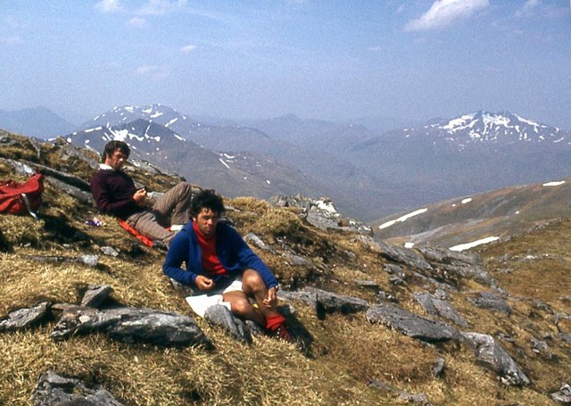
A' Chìoch is a prominent hill located in the county of Inverness-shire in the Scottish Highlands. Rising to a height of approximately 772 meters (2,533 feet), it offers stunning panoramic views of the surrounding landscape. It is situated in a remote and rugged area, making it a popular destination for hikers and mountaineers seeking a challenging and rewarding experience.

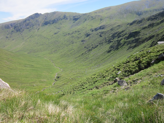
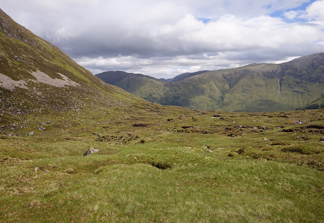
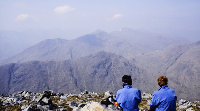
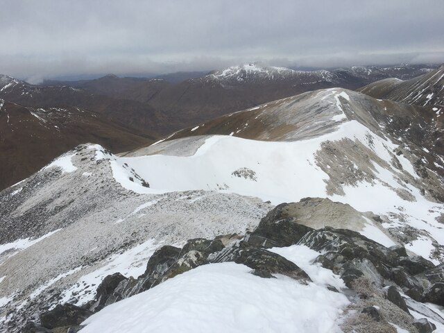
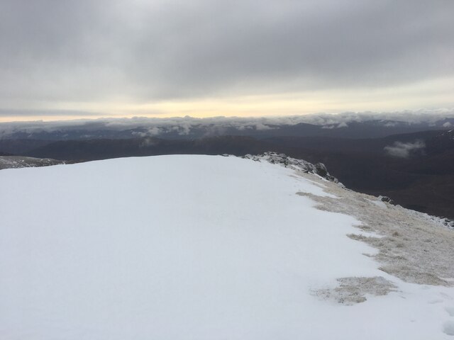
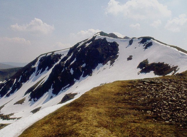
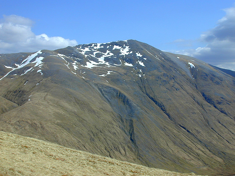
The hill is known for its distinctive shape, with a steep and rocky profile that adds to its allure. Its summit is marked by a cairn, which serves as a focal point for those who reach the top. From this vantage point, one can enjoy breathtaking vistas of the surrounding mountains, glens, and lochs, including Loch Ness, which lies to the northeast.

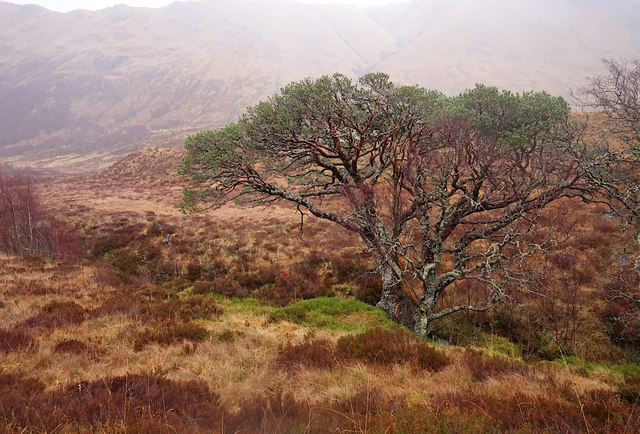
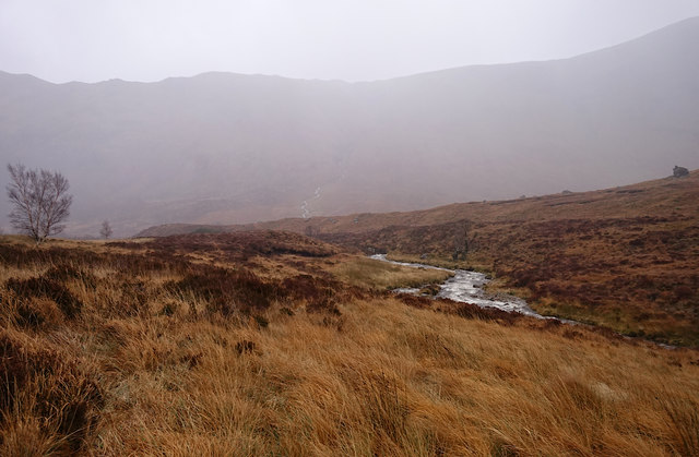
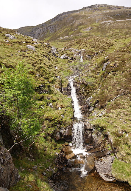
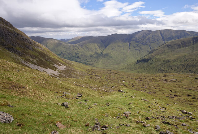
A' Chìoch is part of the wider mountain range known as the Monadhliath Mountains, which span across Inverness-shire and neighboring counties. The area is characterized by its wild and unspoiled beauty, with vast moorlands, heather-covered hillsides, and scattered woodlands. It is also home to a diverse range of flora and fauna, including red deer, mountain hares, and golden eagles.

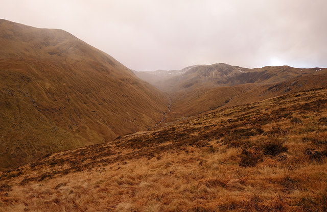
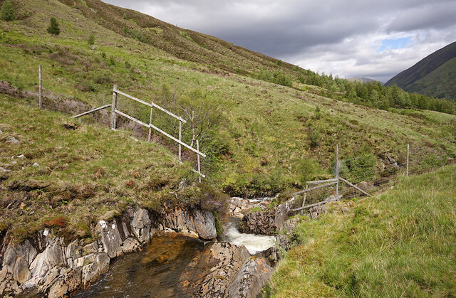
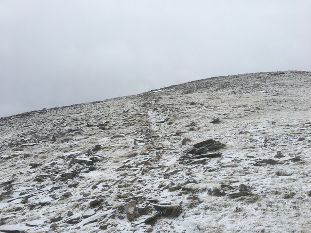
Access to A' Chìoch can be gained via several routes, including from the nearby villages of Newtonmore and Kingussie. It is recommended that hikers and climbers be adequately prepared, as the terrain can be challenging and changeable weather conditions are common. Nonetheless, the reward of standing on the summit and taking in the awe-inspiring vistas makes A' Chìoch an unforgettable experience for outdoor enthusiasts.

If you have any feedback on the listing, please let us know in the comments section below.

A' Chìoch Images

Images are sourced within 2km of 57.18919/-5.1322059 or Grid Reference NH1015. Thanks to Geograph Open Source API. All images are credited.

A’ Chràileag from A’ Chioch Lots of snow around for the last week of May 1978.
A’ Chràileag from A’ Chioch
Lots of snow around for the last week of May 1978.
Scots pine, by the Uisge na Cràlaig A large Scots pine tree, growing on the bank just above the burn.
This is within a fenced area, now being restored as Caledonian forest. Plenty of birch trees growing up around, as well as a few small Scots pines.
Scots pine, by the Uisge na Cràlaig
A large Scots pine tree, growing on the bank just above the burn. This is within a fenced area, now being restored as Caledonian forest. Plenty of birch trees growing up around, as well as a few small Scots pines.
Uisge na Cràlaig A stream flowing down towards Gleann na Cìche. It looks like a tree has fallen in, and jammed between rocks.
Uisge na Cràlaig
A stream flowing down towards Gleann na Cìche. It looks like a tree has fallen in, and jammed between rocks.
Across the Uisge na Cràlaig The Uisge na Cràlaig flows down the valley between A' Chìoch and Mullach Fraoch-choire, towards Gleann na Cìche.

Much of this area was a conifer plantation. That was all felled a few years ago, and the Caledonian forest is being restored.

A rather dreich day, the tops of the hills hidden in the clouds.
Across the Uisge na Cràlaig
The Uisge na Cràlaig flows down the valley between A' Chìoch and Mullach Fraoch-choire, towards Gleann na Cìche. Much of this area was a conifer plantation. That was all felled a few years ago, and the Caledonian forest is being restored. A rather dreich day, the tops of the hills hidden in the clouds.
By the Uisge na Cràlaig The Uisge na Cràlaig flows down towards Gleann na Cìche.

This is within a fenced area, now being restored as Caledonian forest. Quite a few birch trees growing, and a few small Scots pine.

A rather dreich day, the hills across the glen hidden in the clouds.
By the Uisge na Cràlaig
The Uisge na Cràlaig flows down towards Gleann na Cìche. This is within a fenced area, now being restored as Caledonian forest. Quite a few birch trees growing, and a few small Scots pine. A rather dreich day, the hills across the glen hidden in the clouds.
General view of NH1114 Looking ENE into Gleann na Ciche.
At time of visit there were no traces of a footpath on the floor of the glen, as shown on the OS maps, but parts of the SW end, down the lip of coire, can still be seen.
General view of NH1114
Looking ENE into Gleann na Ciche. At time of visit there were no traces of a footpath on the floor of the glen, as shown on the OS maps, but parts of the SW end, down the lip of coire, can still be seen.
Waterfall, Coire na Geurdain A small stream flowing down towards Gleann na Cìche. Several rowan trees growing on the rocks alongside.
Waterfall, Coire na Geurdain
A small stream flowing down towards Gleann na Cìche. Several rowan trees growing on the rocks alongside.
Coire na Geurdain The eastern slopes of Mullach Fraoch-choire, looking towards Gleann na Cìche. Mostly rough grass and peat hags.
Coire na Geurdain
The eastern slopes of Mullach Fraoch-choire, looking towards Gleann na Cìche. Mostly rough grass and peat hags.
Uisge na Cràlaig The Uisge na Cràlaig flows down towards Gleann na Cìche. It is passing through a fenceline; the area within is being restored as native woodland.
Uisge na Cràlaig
The Uisge na Cràlaig flows down towards Gleann na Cìche. It is passing through a fenceline; the area within is being restored as native woodland.
Rocks and onlookers at summit of A' Chràlaig Angular rocks extending to the west from the summit of A' Chràlaig.
The mountains beyond also lie to the west with Am Bàthach being the nearest. Further mountains lie that way and but for the haze, the Five Sisters of Kintail would be seen clearly.
Rocks and onlookers at summit of A' Chràlaig
Angular rocks extending to the west from the summit of A' Chràlaig. The mountains beyond also lie to the west with Am Bàthach being the nearest. Further mountains lie that way and but for the haze, the Five Sisters of Kintail would be seen clearly.
View over Coire na Geurdain The eastern slopes of Mullach Fraoch-choire, looking towards Gleann na Cìche. Quite steep rough slopes, covered by grass and rocks.
View over Coire na Geurdain
The eastern slopes of Mullach Fraoch-choire, looking towards Gleann na Cìche. Quite steep rough slopes, covered by grass and rocks.
Waterfalls by Na Geurdain A small stream flowing down the steep rocky slopes of Mullach Fraoch-choire.
Waterfalls by Na Geurdain
A small stream flowing down the steep rocky slopes of Mullach Fraoch-choire.
View to Na Guerdain
View to Na Guerdain
Ridge towards Stob Coire na Craileig
Summit plateau of A’ Chraileag
Path up A’ Chraileag
On the A' Chraileag ridge
Coire na Cràileig still full of snow
Show me another place!

A' Chìoch is located at Grid Ref: NH1015 (Lat: 57.18919, Lng: -5.1322059)

Unitary Authority: Highland

Police Authority: Highlands and Islands

What 3 Words

///figure.piled.hood. Near Cannich, Highland

Nearby Locations

A' Chìoch

Related Wikis

A' Chràlaig

A' Chralaig (Scottish Gaelic: A' Chràileag) is a mountain in the Northwest Highlands of Scotland, north of Loch Cluanie and south of Glen Affric. It is...

Mullach Fraoch-choire

Mullach Fraoch-choire is a 1,102-metre (3,615 ft) mountain – a Munro – in the Northwest Highlands of Scotland on a ridge extending north for 8 kilometres...

Sgùrr nan Conbhairean

Sgùrr nan Conbhairean (Scottish Gaelic for 'peak of the dog-men') is a mountain in the Northwest Highlands of Scotland, lying north of Loch Cluanie and...

Am Bàthach

Am Bàthach is a Scottish mountain situated at the head of Glen Shiel, at the western end of Loch Cluanie some 38 km (24 mi) south east of Kyle of Lochalsh...

Nearby Amenities

Located within 500m of 57.18919,-5.1322059
A' Chioch
Ele: 943
Natural: peak
Source: OS7
Wikidata: Q20574691
Lat/Long: 57.1873469/-5.1321458
The data included in this document is from www.openstreetmap.org. The data is made available under ODbL.

Have you been to A' Chìoch?

Leave your review of A' Chìoch below (or comments, questions and feedback).