Bryn Hill
Hill, Mountain in Pembrokeshire
Wales
Bryn Hill

Bryn Hill is a prominent hill located in the county of Pembrokeshire, Wales. With an elevation of approximately 150 meters (492 feet), it is not considered a mountain but rather a significantly sized hill. The hill is situated near the village of Brynberian, which lies within the Preseli Hills, a range known for its rugged beauty.
Bryn Hill is a popular destination for hikers and nature enthusiasts due to its stunning panoramic views of the surrounding countryside. The hill offers a relatively easy ascent, making it accessible to people of varying fitness levels. Its well-defined paths and trails make it a suitable destination for families and casual walkers.
The hill boasts a diverse range of flora and fauna, with its slopes covered in heather, gorse, and grasses. Visitors can spot various species of birds, such as red kites and buzzards, as they soar overhead. The area is also home to a variety of butterflies and small mammals.
One of the hill's notable features is the presence of several prehistoric burial chambers, including the renowned Pentre Ifan burial chamber. These ancient sites provide a glimpse into the region's rich history and add an element of mystery to the landscape.
Bryn Hill offers a peaceful and tranquil setting, allowing visitors to escape the hustle and bustle of everyday life. Whether it's for a leisurely walk, a picnic, or simply to enjoy the natural beauty of the area, Bryn Hill is a wonderful destination for outdoor enthusiasts and history buffs alike.
If you have any feedback on the listing, please let us know in the comments section below.
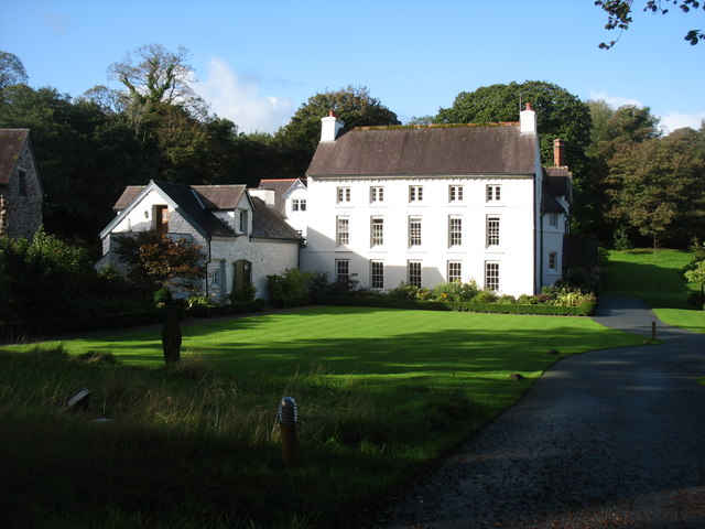
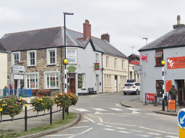
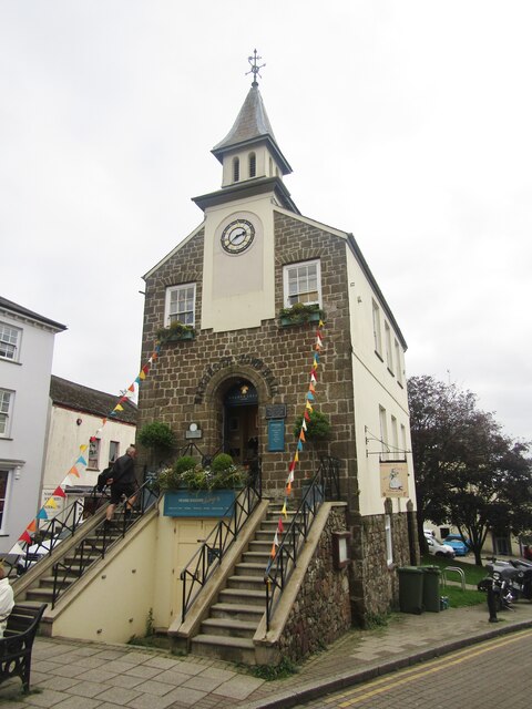
Bryn Hill Images
Images are sourced within 2km of 51.790217/-4.7446926 or Grid Reference SN1013. Thanks to Geograph Open Source API. All images are credited.


Bryn Hill is located at Grid Ref: SN1013 (Lat: 51.790217, Lng: -4.7446926)
Unitary Authority: Pembrokeshire
Police Authority: Dyfed Powys
What 3 Words
///sparrows.suitably.gaps. Near Narberth, Pembrokeshire
Nearby Locations
Related Wikis
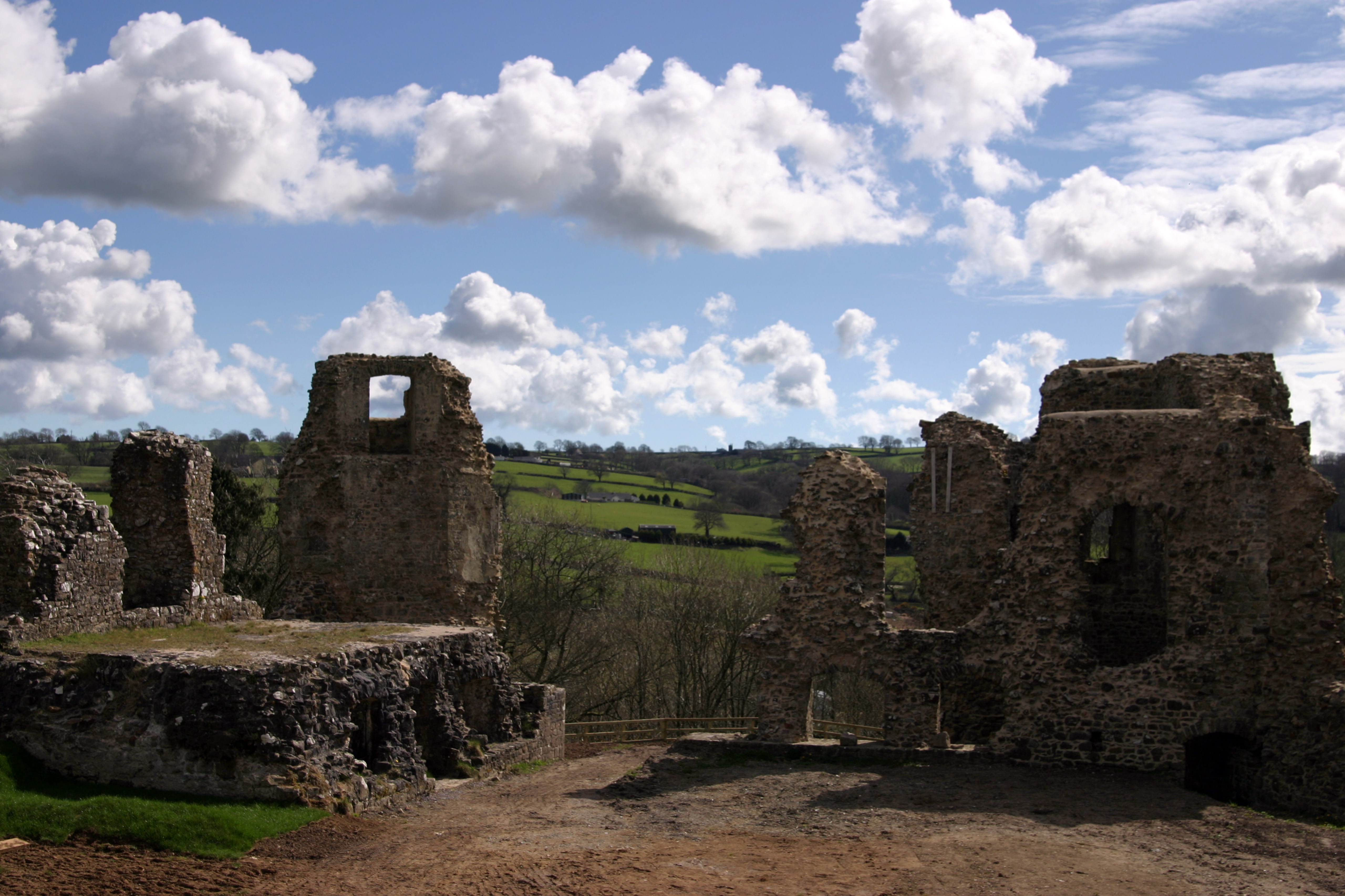
Narberth Castle
Narberth Castle (Welsh: Castell Arberth) is a ruined Norman fortress in the town of Narberth, Pembrokeshire, West Wales. It forms part of the Landsker...

Narberth Hundred
The Hundred of Narberth was a hundred in Pembrokeshire, Wales. An administrative and legal division, it was formed by the Act of Union of 1536 from parts...

Radio Carmarthenshire
Radio Carmarthenshire is an Independent Local Radio station broadcasting to Carmarthenshire. It is owned and operated by Nation Broadcasting and broadcasts...

Narberth Town Hall
Narberth Town Hall (Welsh: Neuadd y Dref Arberth) is a municipal building in the High Street, Narberth, Pembrokeshire, Wales. The structure, which is currently...
Related Videos

Welcome to Noble Court & Celtic Escapes, Pembrokeshire
Noble Court, part of the Celtic Holiday Parks family, is our relaxing countryside retreat. Space to relax, space to walk, space to ...

Beach time / Narberth, Wales
jofdestn #sandy #chancyvlogs #chancy #car #travel #serivce #highway #highwayfood #m5 #m4 #exeter #england #wales ...

Welcome to Noble Court & Celtic Escapes, Pembrokeshire
Noble Court, part of the Celtic Holiday Parks family, is our relaxing countryside retreat. Space to relax, space to walk, space to ...
The Grove Hotel, Narberth
A beautiful hotel not far from the small market town of Narberth in Pembrokeshire, this is a stunning area of Wales, amazing ...
Nearby Amenities
Located within 500m of 51.790217,-4.7446926Have you been to Bryn Hill?
Leave your review of Bryn Hill below (or comments, questions and feedback).