Awies Hill
Hill, Mountain in Wigtownshire
Scotland
Awies Hill

Awies Hill is a prominent hill located in the county of Wigtownshire, in the southwestern part of Scotland. It is part of the Galloway Hills, which form a picturesque range in this region. With an elevation of approximately 681 meters (2,234 feet), Awies Hill stands as one of the highest peaks in the area.
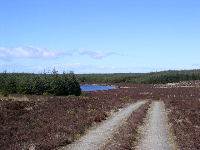
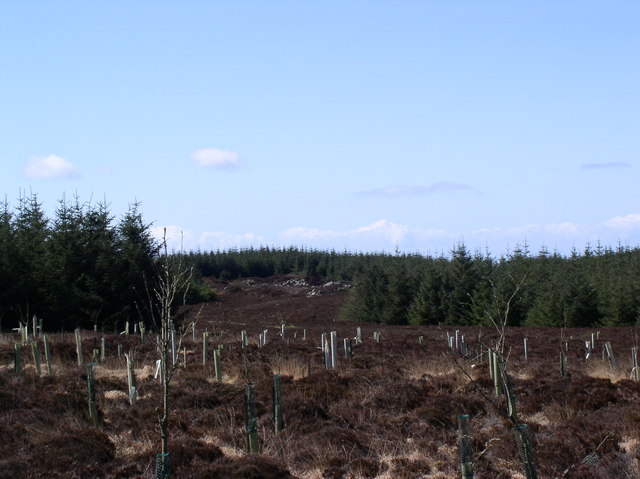
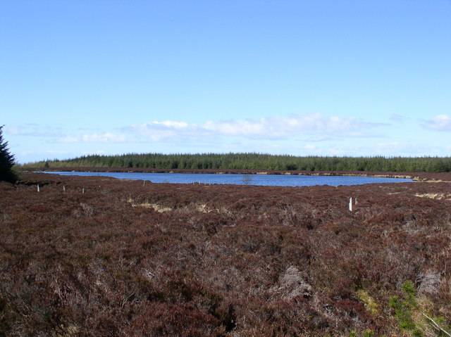
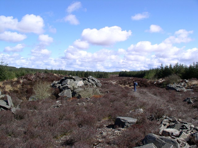
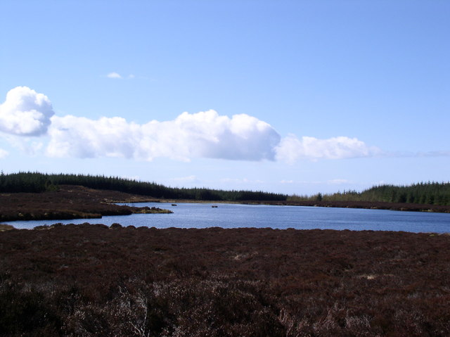
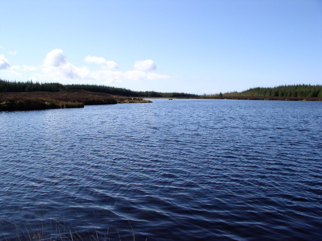
The hill is situated within the Galloway Forest Park, which is known for its stunning landscapes and rich biodiversity. The park covers an area of about 300 square miles, making it one of the largest forest parks in the UK. Awies Hill offers visitors breathtaking panoramic views of the surrounding countryside, including the sprawling forests, sparkling lochs, and rolling hills that characterize the region.
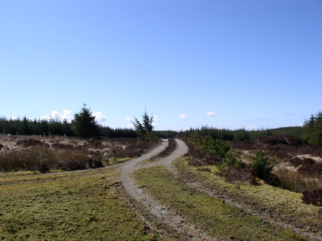
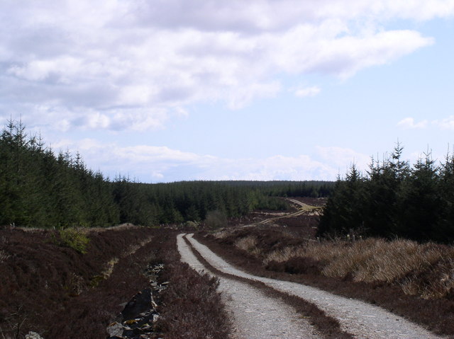
The summit of Awies Hill is easily accessible to hikers and outdoor enthusiasts, with several well-marked trails leading to the top. The ascent can be challenging at times, but the effort is rewarded with stunning vistas that stretch as far as the eye can see. On clear days, it is even possible to catch a glimpse of the distant Isle of Man.
The hill is also home to a diverse range of flora and fauna, including several species of birds, mammals, and plants. Nature lovers can spot red deer, golden eagles, and wild goats, as well as various wildflowers and heather that adorn the hillside.
Overall, Awies Hill is a must-visit destination for those seeking to immerse themselves in the natural beauty and tranquility of Wigtownshire.
If you have any feedback on the listing, please let us know in the comments section below.
Awies Hill Images
Images are sourced within 2km of 54.982838/-4.9656045 or Grid Reference NX1069. Thanks to Geograph Open Source API. All images are credited.


![Cattle grid on Braid Fell The summit in the distance is Berneraird [<a href="https://www.geograph.org.uk/gridref/NX1378">NX1378</a>]](https://s2.geograph.org.uk/photos/31/31/313182_403d3499.jpg)


Awies Hill is located at Grid Ref: NX1069 (Lat: 54.982838, Lng: -4.9656045)
Unitary Authority: Dumfries and Galloway
Police Authority: Dumfries and Galloway
What 3 Words
///sprinter.gravel.bucks. Near Cairnryan, Dumfries & Galloway
Nearby Locations
Related Wikis

Penwhirn Reservoir
Penwhirn Reservoir, is a reservoir in Dumfries and Galloway, Scotland, approximately 3.5 miles (6 km) east of Cairnryan. The reservoir was built in the...

Loups of Dalnigap
Loups of Dalnigap is a waterfall of Scotland. It sits below Dalnigap House, in the South of the Lagafater Estate. == See also == Waterfalls of Scotland...

Cairnryan
Cairnryan (Scots: The Cairn; Scottish Gaelic: Càrn Rìoghain or Machair an Sgithich) is a village in the historical county of Wigtownshire, Dumfries and...
Inch, Dumfries and Galloway
Inch is a civil parish in Dumfries and Galloway, southwest Scotland. It lies on the shore of Loch Ryan, in the traditional county of Wigtownshire.The...

Cairnryan Harbour
Cairnryan Harbour is a roll-on ferry terminal on Loch Ryan in south west Scotland north of Stranraer. In World War II it was developed as an emergency...

Loch Ryan
Loch Ryan (Scottish Gaelic: Loch Rìoghaine, pronounced [l̪ˠɔx ˈrˠiː.ɛɲə]) is a Scottish sea loch that acts as an important natural harbour for shipping...
RAF Wig Bay
Royal Air Force Wig Bay, or more simply RAF Wig Bay, is a former Royal Air Force station near Stranraer, Dumfries and Galloway, Scotland The following...

Glenwhilly railway station
Glenwhilly railway station served the area of Glenwhilly, Dumfries and Galloway, Scotland from 1887 to 1965 on the Girvan and Portpatrick Junction Railway...
Have you been to Awies Hill?
Leave your review of Awies Hill below (or comments, questions and feedback).