Galla Hill

Hill, Mountain in Wigtownshire

Scotland

Galla Hill

The Southern Upland Way near Castle Kennedy
The Southern Upland Way near Castle Kennedy Credit: Dave Kelly

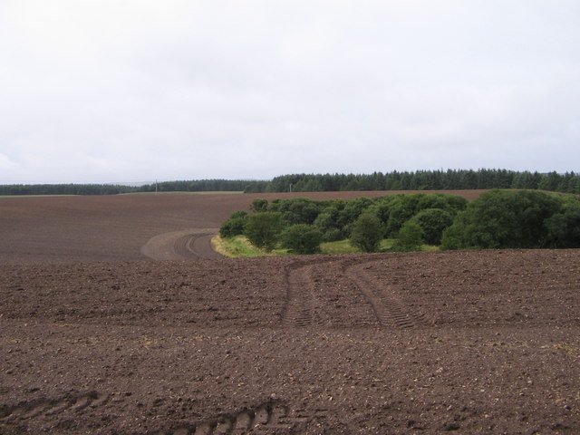
Galla Hill is a prominent geographical feature located in the region of Wigtownshire, Scotland. It is classified as a hill, although it is not particularly lofty, reaching a height of only 155 meters (509 feet) above sea level. Despite its modest elevation, Galla Hill stands out due to its distinct shape and commanding position within the landscape.

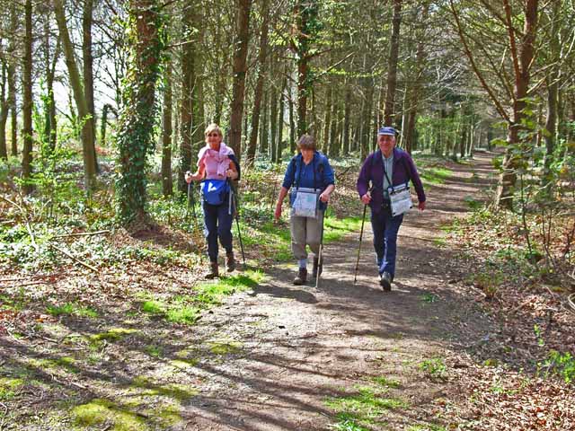
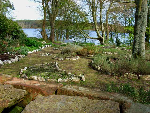
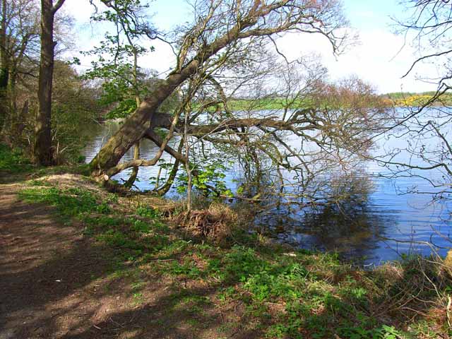
Situated near the town of Newton Stewart, Galla Hill offers panoramic views of the surrounding countryside, including the picturesque River Cree and the Galloway Forest Park. The hill is easily accessible, with a network of footpaths leading to its summit, making it a popular destination for hikers and nature enthusiasts.

The terrain of Galla Hill primarily consists of grassy slopes, interspersed with patches of heather and gorse. The vegetation supports a diverse range of flora and fauna, making it an important habitat for local wildlife. Visitors to the hill may encounter various bird species, such as curlews and lapwings, as well as rabbits and other small mammals.

Galla Hill has historical significance, with remnants of ancient settlements and burial sites found in the vicinity. These archaeological remains provide insights into the area's rich cultural heritage and offer a glimpse into the lives of its past inhabitants.

Overall, Galla Hill is a distinctive and accessible natural landmark in Wigtownshire, offering breathtaking views, diverse wildlife, and a glimpse into the region's history.

If you have any feedback on the listing, please let us know in the comments section below.
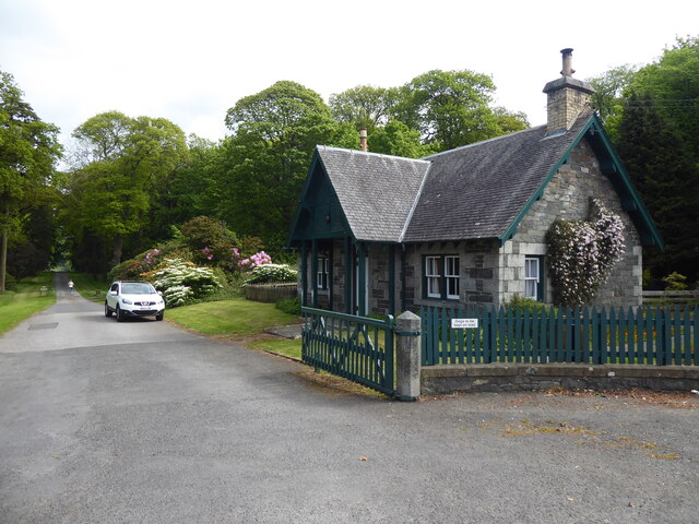
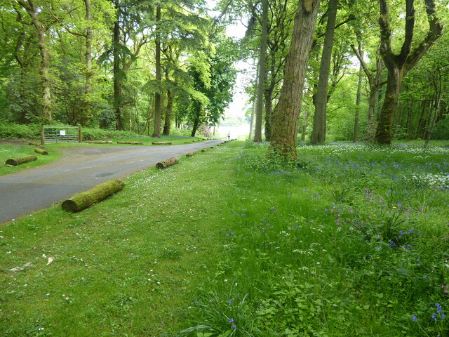
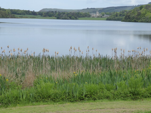
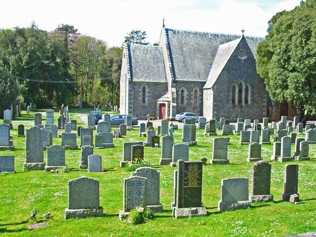
Galla Hill Images

Images are sourced within 2km of 54.892868/-4.9767664 or Grid Reference NX0959. Thanks to Geograph Open Source API. All images are credited.

The Southern Upland Way near Castle Kennedy
The Southern Upland Way near Douglas Wood
View from the Southern Upland Way near Douglas Wood
Inch Church near Castle Kennedy
Gateway to Lochinch Castle Lochinch Castle lies within the same park as the famous Castle Kennedy Gardens, the entrance to which is a bit further along the main road. <span class="nowrap"><a title="https://vault2.secured-url.com/stair/ckg/history.asp" rel="nofollow ugc noopener" href="https://vault2.secured-url.com/stair/ckg/history.asp">Link</a><img style="margin-left:2px;" alt="External link" title="External link - shift click to open in new window" src="https://s1.geograph.org.uk/img/external.png" width="10" height="10"/></span>
Gateway to Lochinch Castle
Lochinch Castle lies within the same park as the famous Castle Kennedy Gardens, the entrance to which is a bit further along the main road. LinkExternal link
Old Inch Church Stair Estates Castle Kennedy The ruin of Old Inch Church is just off the Private main drive to Lochinch Castle.  The castle ruin contains the burial plots of ancestors of the current Earl of Stair.  Monumental inscriptions for all the graves were completed some time ago and are available for purchase in Stranraer museum.
Old Inch Church Stair Estates Castle Kennedy
The ruin of Old Inch Church is just off the Private main drive to Lochinch Castle. The castle ruin contains the burial plots of ancestors of the current Earl of Stair. Monumental inscriptions for all the graves were completed some time ago and are available for purchase in Stranraer museum.
Castle Kennedy, entrance way This narrow road leads you directly to the White Loch and along this Loch to Castle Kennedy with its wonderful gardens.
Castle Kennedy, entrance way
This narrow road leads you directly to the White Loch and along this Loch to Castle Kennedy with its wonderful gardens.
The Southern Upland Way near Culhorn Mains
The Southern Upland Way near Barrack Hill Wood
The Southern Upland Way near Guyon's Brae Wood
The Southern Upland Way near Loch Magillie
Meadowsweet Herb Garden, Soulseat Loch Although still a herb garden, it is no longer open to the public. The house provides bed and breakfast accommodation close to the Southern Upland Way, and forms a useful first night's staging point out of Portpatrick.  <span class="nowrap"><a title="http://www.southernuplandway.com/accommodation/accom_detail.asp?sectionid=&accommodationid=1625" rel="nofollow ugc noopener" href="http://www.southernuplandway.com/accommodation/accom_detail.asp?sectionid=&accommodationid=1625">Link</a><img style="margin-left:2px;" alt="External link" title="External link - shift click to open in new window" src="https://s1.geograph.org.uk/img/external.png" width="10" height="10"/></span>
Meadowsweet Herb Garden, Soulseat Loch
Although still a herb garden, it is no longer open to the public. The house provides bed and breakfast accommodation close to the Southern Upland Way, and forms a useful first night's staging point out of Portpatrick. LinkExternal link
The Southern Upland Way near Castle Kennedy The Southern Upland Way is one of Scotland's official long-distance paths and runs 340 km from Portpatrick in the west to Cockburnspath in the east. Here it passes through woods just outside Castle Kennedy
The Southern Upland Way near Castle Kennedy
The Southern Upland Way is one of Scotland's official long-distance paths and runs 340 km from Portpatrick in the west to Cockburnspath in the east. Here it passes through woods just outside Castle Kennedy
Barn at Mahaar
Barn at Mahaar
Meadowsweet Herb Garden, Soulseat Loch Still a herb garden, although no longer open to the public <a href="https://www.geograph.org.uk/photo/163482">NX1058 : Meadowsweet Herb Garden, Soulseat Loch</a>
Meadowsweet Herb Garden, Soulseat Loch
Still a herb garden, although no longer open to the public NX1058 : Meadowsweet Herb Garden, Soulseat Loch
Southern end of Soulseat Loch One of several small lochs in this part of Wigtownshire.
Southern end of Soulseat Loch
One of several small lochs in this part of Wigtownshire.
Entrance to Castle Kennedy estate From the A75 opposite Castle Kennedy village, this is the southern entrance to Castle Kennedy estate, with a typical gate keeper's cottage.
Entrance to Castle Kennedy estate
From the A75 opposite Castle Kennedy village, this is the southern entrance to Castle Kennedy estate, with a typical gate keeper's cottage.
Fields ready for sowing
Show me another place!

Galla Hill is located at Grid Ref: NX0959 (Lat: 54.892868, Lng: -4.9767664)

Unitary Authority: Dumfries and Galloway

Police Authority: Dumfries and Galloway

What 3 Words

///swinging.softly.promotion. Near Stranraer, Dumfries & Galloway

Related Wikis

Aird, Dumfries and Galloway

Aird (Gaelic:An Àird) is a village in Dumfries and Galloway, in the southwest of Scotland. It is 2.5 miles (4.0 km) east of Stranraer and 1 mile (1.6 km...

Soulseat Abbey

Saulseat or Soulseat Abbey was a Premonstratensian monastic community located in Wigtownshire, Galloway, in the Gaelic-speaking south-west of Scotland...

Castle Kennedy railway station

Castle Kennedy railway station served the village of Castle Kennedy, Dumfries and Galloway, Scotland from 1861 to 1965 on the Portpatrick and Wigtownshire...

Castle Kennedy

Castle Kennedy is a small village 3 miles (4.8 km) east of Stranraer in Dumfries and Galloway, south-west Scotland. It is on the A75 road, and is within...

Castle Kennedy (castle)

Castle Kennedy is a ruined 17th-century tower house, about 3 miles (4.8 km) east of Stranraer, Dumfries and Galloway, Scotland, around 0.5 miles (0.80...

Stair Park

Stair Park is a public park and football stadium in the town of Stranraer, Scotland and is the home of Stranraer F.C. It is owned by Dumfries and Galloway...

Stranraer Town railway station

Stranraer Town railway station, located in Wigtownshire, Scotland, served the town of Stranraer and was a station on the Portpatrick and Wigtownshire Joint...

RAF Castle Kennedy

Royal Air Force Castle Kennedy, or more simply RAF Castle Kennedy, is a former Royal Air Force satellite station located in Castle Kennedy, Dumfries and...

Nearby Amenities

Located within 500m of 54.892868,-4.9767664
Power: pole
Lat/Long: 54.8953627/-4.9706697
Power: pole
Lat/Long: 54.8947781/-4.9714798
Power: pole
Lat/Long: 54.8941334/-4.9724937
Power: pole
Lat/Long: 54.8938218/-4.9737677
Power: pole
Lat/Long: 54.8935426/-4.9750444
Power: pole
Lat/Long: 54.893322/-4.9759913
Power: pole
Lat/Long: 54.893069/-4.9771044
Power: pole
Lat/Long: 54.8928577/-4.9779868
Power: pole
Lat/Long: 54.8920463/-4.9782228
Power: pole
Lat/Long: 54.8919368/-4.9767128
Power: pole
Lat/Long: 54.8918334/-4.9753127
Power: pole
Lat/Long: 54.8917486/-4.97417
Power: pole
Lat/Long: 54.8916591/-4.9729684
Power: pole
Lat/Long: 54.8915372/-4.9714932
Power: pole
Lat/Long: 54.8914277/-4.9701092
Power: pole
Lat/Long: 54.8931878/-4.9840111
Power: pole
Lat/Long: 54.8929009/-4.9826887
Power: pole
Lat/Long: 54.89256/-4.9812001
Power: pole
Lat/Long: 54.8923425/-4.9802479
Power: pole
Lat/Long: 54.8921898/-4.9798456
Power: pole
Lat/Long: 54.892398/-4.981007
Power: pole
Lat/Long: 54.8925739/-4.9818921
Power: pole
Lat/Long: 54.8928315/-4.9831849
Power: pole
Lat/Long: 54.8930274/-4.9841693
Power: pole
Lat/Long: 54.8937387/-4.9723436
Power: pole
Lat/Long: 54.8932324/-4.972198
Power: pole
Lat/Long: 54.8923677/-4.9719632
Power: pole
Lat/Long: 54.8914266/-4.9717027
Power: pole
Lat/Long: 54.8906368/-4.9714867
Power: pole
Lat/Long: 54.8898401/-4.971259
Power: pole
Lat/Long: 54.8918735/-4.9694982
Power: pole
Lat/Long: 54.891721/-4.9702471
Power: pole
Lat/Long: 54.8915778/-4.9709702
Power: pole
Lat/Long: 54.8913537/-4.9721205
Power: pole
Lat/Long: 54.8911701/-4.9730925
Power: pole
Lat/Long: 54.8910283/-4.9739024
Power: pole
Lat/Long: 54.8905706/-4.9736934
Power: pole
Lat/Long: 54.8935301/-4.9783499
Power: pole
Lat/Long: 54.8942403/-4.978681
Power: pole
Lat/Long: 54.894914/-4.9789979
Power: pole
Lat/Long: 54.8955769/-4.979343
Power: pole
Lat/Long: 54.895693/-4.9784509
Power: pole
Lat/Long: 54.8957186/-4.9799205
The data included in this document is from www.openstreetmap.org. The data is made available under ODbL.

Have you been to Galla Hill?

Leave your review of Galla Hill below (or comments, questions and feedback).