Loch Magillie

Lake, Pool, Pond, Freshwater Marsh in Wigtownshire

Scotland

Loch Magillie

The Southern Upland Way near Castle Kennedy
The Southern Upland Way near Castle Kennedy Credit: Dave Kelly

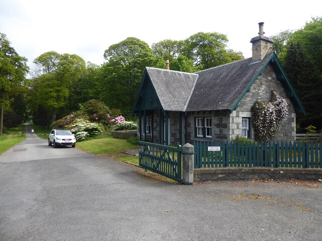
Loch Magillie is a picturesque freshwater loch located in Wigtownshire, a historic county in southwest Scotland. Nestled amidst the beautiful countryside, this tranquil water body attracts nature enthusiasts and visitors seeking solace and natural beauty.

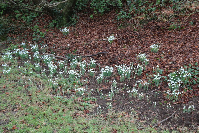
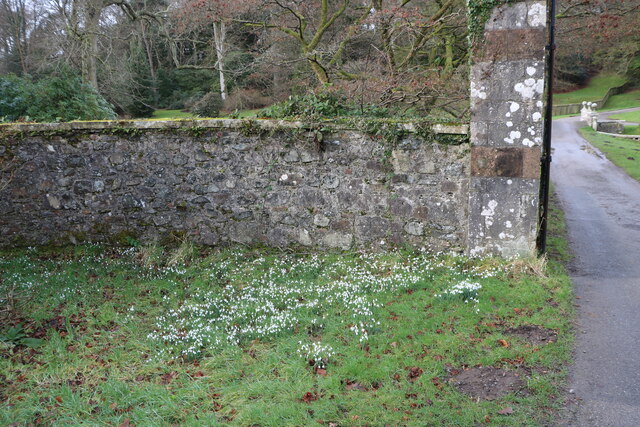
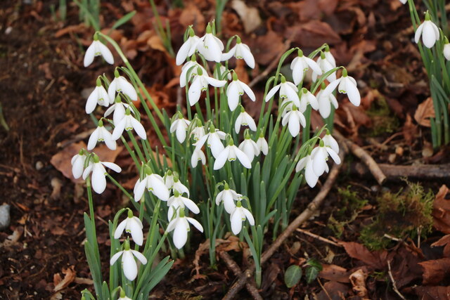
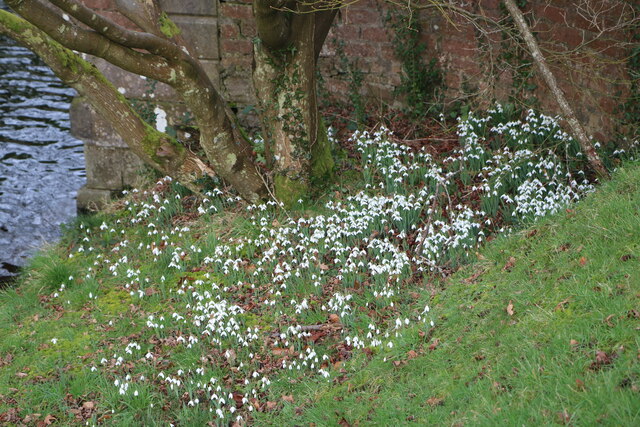
Covering an area of approximately 10 hectares, Loch Magillie is a small yet significant feature of the landscape. Surrounded by gentle rolling hills and lush greenery, it offers a breathtaking view to those who visit. The loch is fed by several small streams that flow from the nearby hills, ensuring a constant supply of freshwater.

The water of Loch Magillie is crystal clear and teems with a variety of aquatic life. It serves as a habitat for a diverse range of fish species, including brown trout, pike, and perch. Anglers can often be seen casting their lines, hoping for a successful catch.

The surrounding area of Loch Magillie is also home to a variety of bird species, making it a popular spot for birdwatching. Visitors may spot common waterfowl such as swans, ducks, and geese, as well as the occasional heron or osprey.

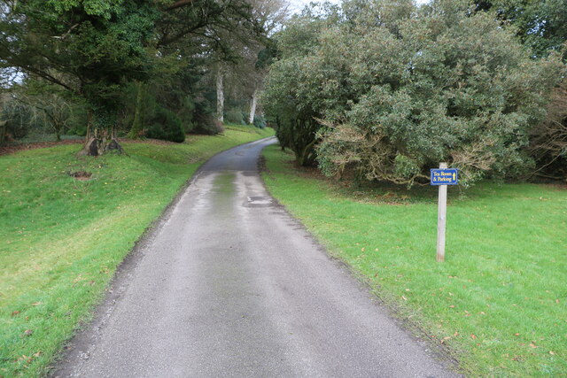
In addition to its natural beauty, Loch Magillie offers opportunities for outdoor activities. Boating and kayaking are popular pastimes on the calm waters, allowing visitors to explore the loch and its surroundings at their own pace.

Overall, Loch Magillie is a hidden gem in Wigtownshire, offering a peaceful retreat and a chance to connect with nature in a stunning setting. Whether one seeks a serene fishing spot, a birdwatcher's paradise, or simply a place to relax and enjoy the tranquility, Loch Magillie is a must-visit destination.

If you have any feedback on the listing, please let us know in the comments section below.

Loch Magillie Images

Images are sourced within 2km of 54.893809/-4.9677109 or Grid Reference NX0959. Thanks to Geograph Open Source API. All images are credited.

The Southern Upland Way near Castle Kennedy
Toilet Block At Castle Kennedy Gardens, located at the car park.
Toilet Block
At Castle Kennedy Gardens, located at the car park.
Castle Ruin At Castle Kennedy Gardens, viewed from the car park in early February (5th).
Castle Ruin
At Castle Kennedy Gardens, viewed from the car park in early February (5th).
Car Park, Castle Kennedy Gardens With view of the old Castle, seen in early February (5th).
Car Park, Castle Kennedy Gardens
With view of the old Castle, seen in early February (5th).
Bridge over Canal At Castle Kennedy Gardens, viewed in early February (5th).
Bridge over Canal
At Castle Kennedy Gardens, viewed in early February (5th).
Canal, Castle Kennedy Gardens From the road bridge, canal leading to the Black Loch, viewed in early February (5th).
Canal, Castle Kennedy Gardens
From the road bridge, canal leading to the Black Loch, viewed in early February (5th).
Canal, Castle Kennedy Gardens From the road bridge, canal leading to the White Loch, viewed in early February (5th).
Canal, Castle Kennedy Gardens
From the road bridge, canal leading to the White Loch, viewed in early February (5th).
Snowdrops, Castle Kennedy Gardens Viewed in early February (5th).
Snowdrops, Castle Kennedy Gardens
Viewed in early February (5th).
Entrance to Castle Kennedy Gardens The bridge through the gate is over the canal. Viewed in early February (5th).
Entrance to Castle Kennedy Gardens
The bridge through the gate is over the canal. Viewed in early February (5th).
Exit Road from Castle Kennedy Gardens This is a new one way system.
Exit Road from Castle Kennedy Gardens
This is a new one way system.
No Entry One Way This was the old way out but now change to a new one way system.
No Entry One Way
This was the old way out but now change to a new one way system.
Coach Park At Castle Kennedy Gardens.
Coach Park
At Castle Kennedy Gardens.
Snowdrops, Castle Kennedy Gardens At the Main Entrance Gate. Viewed in early February (5th).
Snowdrops, Castle Kennedy Gardens
At the Main Entrance Gate. Viewed in early February (5th).
Snowdrops, Castle Kennedy Gardens Viewed in early February (5th).
Snowdrops, Castle Kennedy Gardens
Viewed in early February (5th).
Road Bridge over Canal At Castle Kennedy Gardens, canal links the Black Loch with the White Loch. Viewed in early February (5th).
Road Bridge over Canal
At Castle Kennedy Gardens, canal links the Black Loch with the White Loch. Viewed in early February (5th).
Snowdrops by the Canal At Castle Kennedy Gardens. Viewed in early February (5th).
Snowdrops by the Canal
At Castle Kennedy Gardens. Viewed in early February (5th).
Bridge over the Canal At Castle Kennedy Gardens. Viewed in early February (5th).
Bridge over the Canal
At Castle Kennedy Gardens. Viewed in early February (5th).
Road to the Castle Signs says Tea Room & Parking. Viewed in early February (5th).
Road to the Castle
Signs says Tea Room & Parking. Viewed in early February (5th).
Show me another place!

Loch Magillie is located at Grid Ref: NX0959 (Lat: 54.893809, Lng: -4.9677109)

Unitary Authority: Dumfries and Galloway

Police Authority: Dumfries and Galloway

What 3 Words

///comically.stocks.skirting. Near Stranraer, Dumfries & Galloway

Related Wikis

Aird, Dumfries and Galloway

Aird (Gaelic:An Àird) is a village in Dumfries and Galloway, in the southwest of Scotland. It is 2.5 miles (4.0 km) east of Stranraer and 1 mile (1.6 km...

Soulseat Abbey

Saulseat or Soulseat Abbey was a Premonstratensian monastic community located in Wigtownshire, Galloway, in the Gaelic-speaking south-west of Scotland...

Castle Kennedy railway station

Castle Kennedy railway station served the village of Castle Kennedy, Dumfries and Galloway, Scotland from 1861 to 1965 on the Portpatrick and Wigtownshire...

Castle Kennedy

Castle Kennedy is a small village 3 miles (4.8 km) east of Stranraer in Dumfries and Galloway, south-west Scotland. It is on the A75 road, and is within...

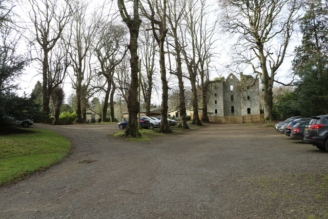
Castle Kennedy (castle)

Castle Kennedy is a ruined 17th-century tower house, about 3 miles (4.8 km) east of Stranraer, Dumfries and Galloway, Scotland, around 0.5 miles (0.80...

RAF Castle Kennedy

Royal Air Force Castle Kennedy, or more simply RAF Castle Kennedy, is a former Royal Air Force satellite station located in Castle Kennedy, Dumfries and...

Stair Park

Stair Park is a public park and football stadium in the town of Stranraer, Scotland and is the home of Stranraer F.C. It is owned by Dumfries and Galloway...

Stranraer Town railway station

Stranraer Town railway station, located in Wigtownshire, Scotland, served the town of Stranraer and was a station on the Portpatrick and Wigtownshire Joint...

Nearby Amenities

Located within 500m of 54.893809,-4.9677109
Power: pole
Lat/Long: 54.8975776/-4.9705035
Power: pole
Lat/Long: 54.8967602/-4.9699469
Power: pole
Lat/Long: 54.8955555/-4.9613223
Power: pole
Lat/Long: 54.8956157/-4.9626821
Power: pole
Lat/Long: 54.8956728/-4.963991
Power: pole
Lat/Long: 54.8957545/-4.9654931
Power: pole
Lat/Long: 54.8958178/-4.9668825
Power: pole
Lat/Long: 54.8958779/-4.9682423
Power: pole
Lat/Long: 54.8959627/-4.9697819
Power: pole
Lat/Long: 54.8953627/-4.9706697
Power: pole
Lat/Long: 54.8947781/-4.9714798
Power: pole
Lat/Long: 54.8941334/-4.9724937
Power: pole
Lat/Long: 54.8938218/-4.9737677
Power: pole
Lat/Long: 54.8935426/-4.9750444
Power: pole
Lat/Long: 54.8917486/-4.97417
Power: pole
Lat/Long: 54.8916591/-4.9729684
Power: pole
Lat/Long: 54.8915372/-4.9714932
Power: pole
Lat/Long: 54.8914277/-4.9701092
Power: pole
Lat/Long: 54.8913367/-4.9688914
Power: pole
Lat/Long: 54.8912364/-4.9677113
Power: pole
Lat/Long: 54.8913969/-4.9668637
Power: pole
Lat/Long: 54.8916298/-4.9655038
Power: pole
Lat/Long: 54.8918658/-4.9642029
Power: pole
Lat/Long: 54.8916869/-4.9626982
Power: pole
Lat/Long: 54.8915403/-4.96151
Power: pole
Lat/Long: 54.8937387/-4.9723436
Power: pole
Lat/Long: 54.8932324/-4.972198
Power: pole
Lat/Long: 54.8923677/-4.9719632
Power: pole
Lat/Long: 54.8914266/-4.9717027
Power: pole
Lat/Long: 54.8906368/-4.9714867
Power: pole
Lat/Long: 54.8898401/-4.971259
Power: pole
Lat/Long: 54.8910762/-4.9672586
Power: pole
Lat/Long: 54.8915383/-4.9677131
Power: pole
Lat/Long: 54.8916737/-4.9683327
Power: pole
Lat/Long: 54.8918094/-4.9688667
Power: pole
Lat/Long: 54.8918735/-4.9694982
Power: pole
Lat/Long: 54.891721/-4.9702471
Power: pole
Lat/Long: 54.8915778/-4.9709702
Power: pole
Lat/Long: 54.8913537/-4.9721205
Power: pole
Lat/Long: 54.8911701/-4.9730925
The data included in this document is from www.openstreetmap.org. The data is made available under ODbL.

Have you been to Loch Magillie?

Leave your review of Loch Magillie below (or comments, questions and feedback).