Àird Eilein
Hill, Mountain in Argyllshire
Scotland
Àird Eilein

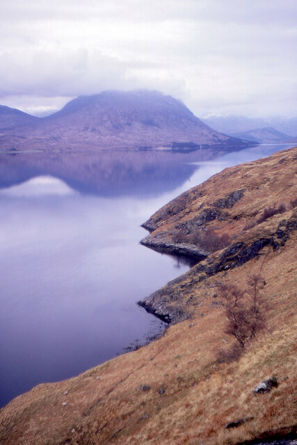
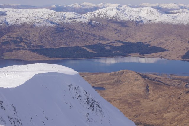
Àird Eilein, located in Argyllshire, Scotland, is a prominent hill/mountain known for its stunning natural beauty and historical significance. Rising to an elevation of approximately 841 meters (2759 feet), it stands proudly amidst the breathtaking landscape of the West Highlands.
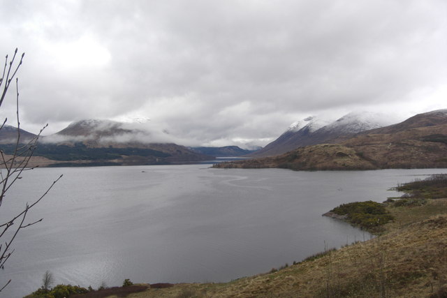
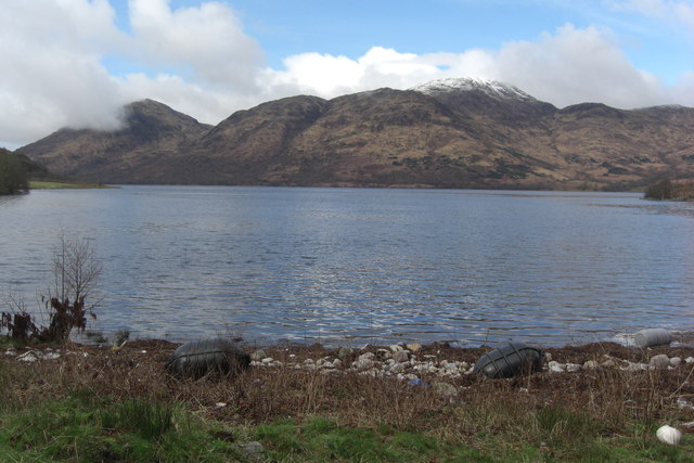
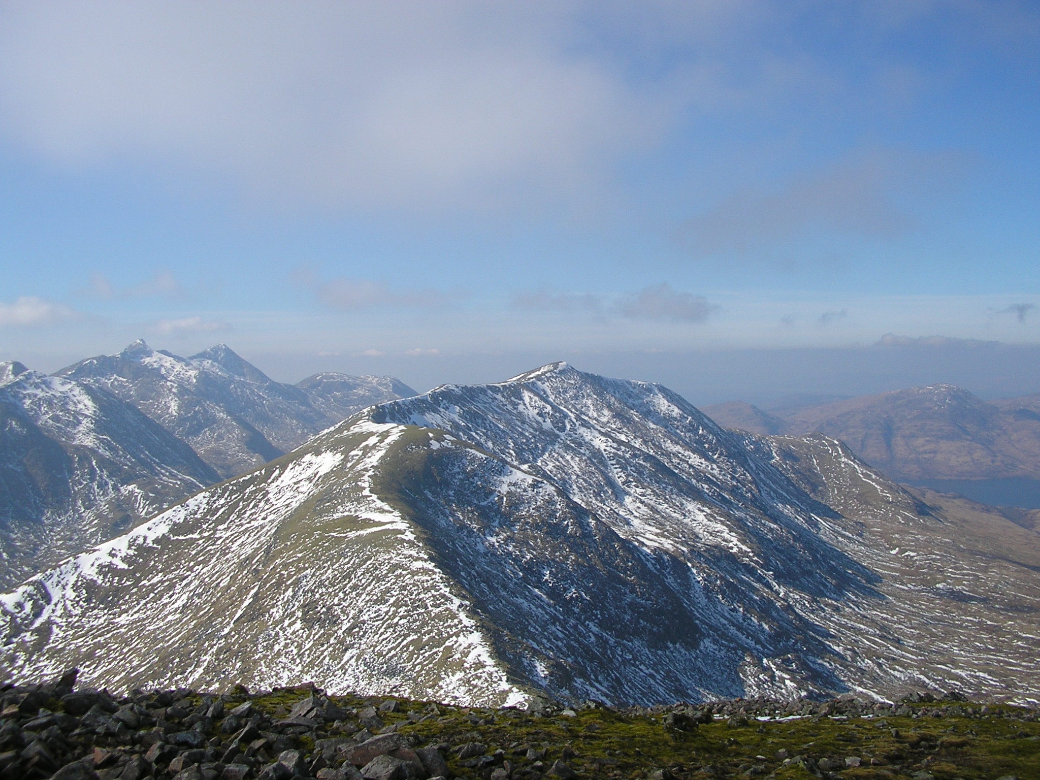
The hill/mountain is characterized by its rugged terrain, with steep slopes covered in heather and scattered boulders. The summit offers commanding views of the surrounding area, including the nearby Loch Awe, the longest freshwater loch in Scotland. On a clear day, one can also catch glimpses of other notable peaks in the distance, such as Ben Cruachan and Ben Lui.
Àird Eilein is rich in history and mythology, with its Gaelic name translating to "The Promontory of the Island." Legend has it that the hill was once an island surrounded by the waters of Loch Awe, but over time the water level receded, leaving it connected to the mainland. The area is also steeped in ancient folklore, with tales of giants and mythical creatures associated with the hill.
For outdoor enthusiasts, Àird Eilein offers a range of activities such as hillwalking, hiking, and mountaineering. The hill is accessible via various routes, each presenting its own challenges and rewards. However, caution is advised as the weather conditions can change rapidly, and the terrain can be demanding.
Overall, Àird Eilein in Argyllshire is a captivating destination that combines natural grandeur with fascinating history and mythology. It beckons adventure-seekers and nature-lovers alike to experience its untamed beauty and immerse themselves in the rich tapestry of Scottish heritage.
If you have any feedback on the listing, please let us know in the comments section below.
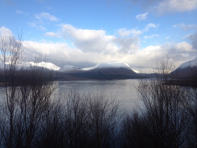
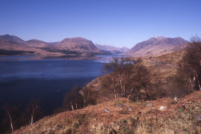
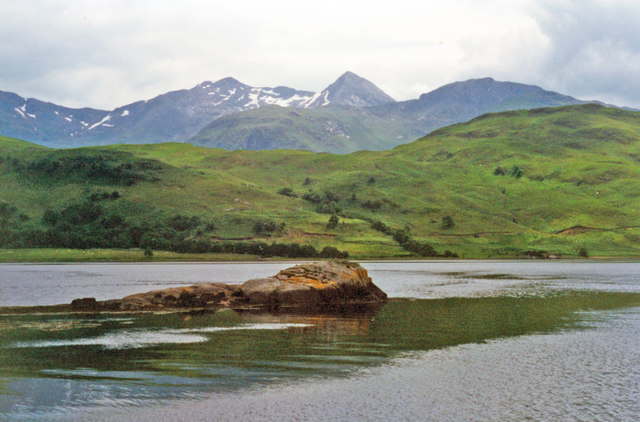
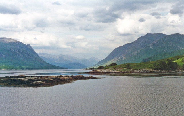
Àird Eilein Images
Images are sourced within 2km of 56.48252/-5.1372821 or Grid Reference NN0636. Thanks to Geograph Open Source API. All images are credited.


Àird Eilein is located at Grid Ref: NN0636 (Lat: 56.48252, Lng: -5.1372821)
Unitary Authority: Argyll and Bute
Police Authority: Argyll and West Dunbartonshire
What 3 Words
///gone.unwraps.spot. Near Oban, Argyll & Bute
Nearby Locations
Related Wikis

Loch Etive
Loch Etive (Scottish Gaelic, Loch Eite) is a 30 km sea loch in Argyll and Bute, Scotland. It reaches the sea at Connel, 5 km north of Oban. It measures...
Beinn a' Chochuill
Beinn a' Chochuill (980 m) is a mountain in the Grampian Mountains of Scotland, located east of Loch Etive in Argyll and Bute. Somewhat hidden away by...

Ben Cruachan
Ben Cruachan (Scottish Gaelic: Cruachan Beann) is a mountain that rises to 1,126 metres (3,694 ft), the highest in Argyll and Bute, Scotland. It gives...

Bonawe
Bonawe (Scots pronunciation: [boˈnɔː]; Scottish Gaelic: Bun Abha [puˈna.ə]) is a village in Ardchattan Parish Argyll and Bute, Scotland opposite Taynuilt...

River Awe
The River Awe (Scottish Gaelic: Uisge Abha) is a short river in the Southwest Highlands of Scotland by which the freshwater Loch Awe empties into Loch...

Creach Bheinn (Loch Creran)
Creach Bheinn (810 m) is a mountain in the Grampian Mountains of Scotland. It rises above the head Loch Creran in Argyll. A large and sprawling peak, a...

Beinn Trilleachan
Beinn Trilleachean (840 m) is a mountain in the Grampian Mountains, north of the village of Taynuilt at the head of Loch Etive. It lies on the border of...
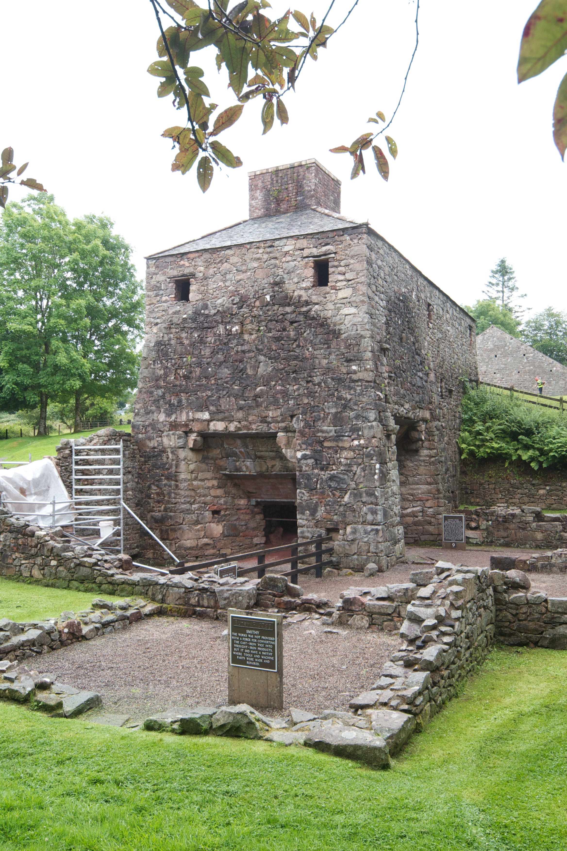
Bonawe Iron Furnace
The Bonawe Iron Furnace (also called the Lorn Furnace), was an industrial complex located in Bonawe, Lorn District, Scotland. It operated in the middle...
Related Videos

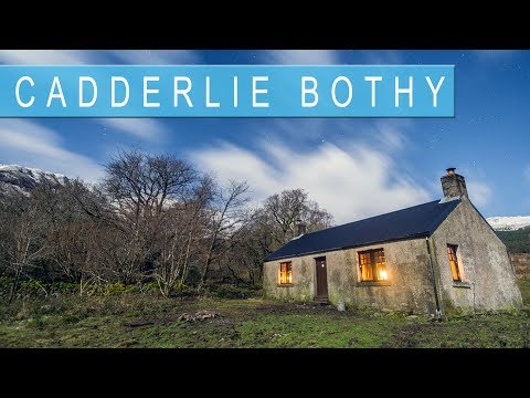
Bothy Culture at Cadderlie Bothy
A cracking night away at Cadderlie Bothy on the shores of Loch Etive: Kev and I head off to Cadderlie to escape all the general ...
Staying at Cadderlie Bothy in the Scottish Highlands
On the 31st of January we stayed at the Cadderlie Bothy in Scotland. Here is a video about our stay and about this bothy.
Nearby Amenities
Located within 500m of 56.48252,-5.1372821Have you been to Àird Eilein?
Leave your review of Àird Eilein below (or comments, questions and feedback).