Auchentibbert Hill
Hill, Mountain in Wigtownshire
Scotland
Auchentibbert Hill
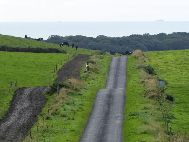
Auchentibbert Hill is a prominent hill located in Wigtownshire, Scotland. Standing at an elevation of approximately 396 meters (1,300 feet), it offers breathtaking panoramic views of the surrounding countryside. The hill is situated about 5 kilometers (3 miles) northwest of the town of Wigtown, making it easily accessible for outdoor enthusiasts and nature lovers.
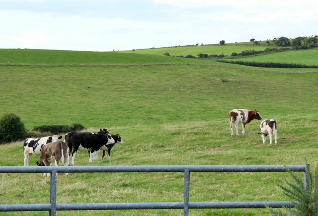
The hill is characterized by its rugged and rocky terrain, covered in lush green vegetation, including heather, grass, and scattered trees. Its distinctive shape and prominent position make it a recognizable landmark in the area. Auchentibbert Hill is a popular destination for hikers and walkers, offering various trails and paths that cater to all skill levels.
At the summit of Auchentibbert Hill, visitors can enjoy uninterrupted views of the neighboring Galloway Hills, the Solway Firth, and the picturesque landscape of Wigtownshire. On clear days, it is even possible to catch a glimpse of the Isle of Man in the distance.
The hill is also known for its rich historical significance. It is believed that Auchentibbert Hill was once a prominent landmark for ancient travelers navigating the region. Additionally, remnants of ancient settlements, such as cairns and stone circles, have been discovered in the vicinity, adding to the hill's archaeological importance.
Overall, Auchentibbert Hill is a must-visit destination for those seeking stunning natural beauty, outdoor adventures, and a glimpse into the region's fascinating history.
If you have any feedback on the listing, please let us know in the comments section below.
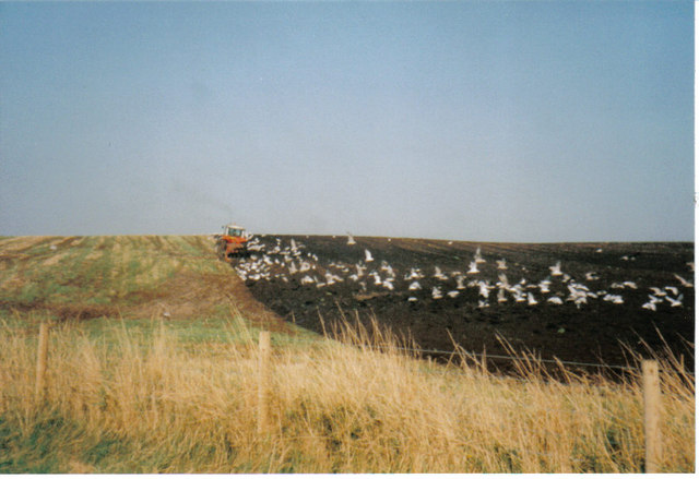
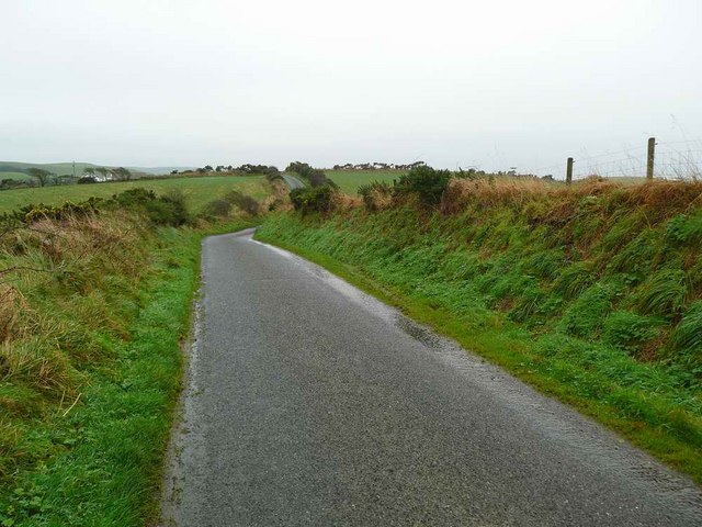
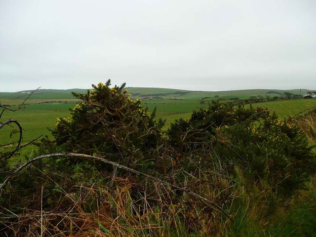
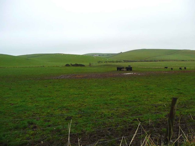
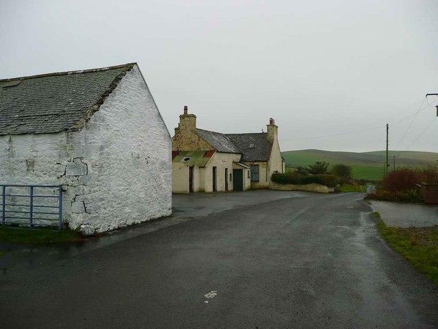
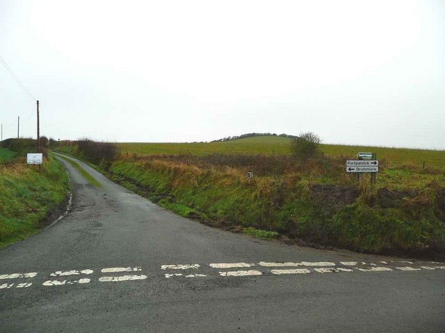
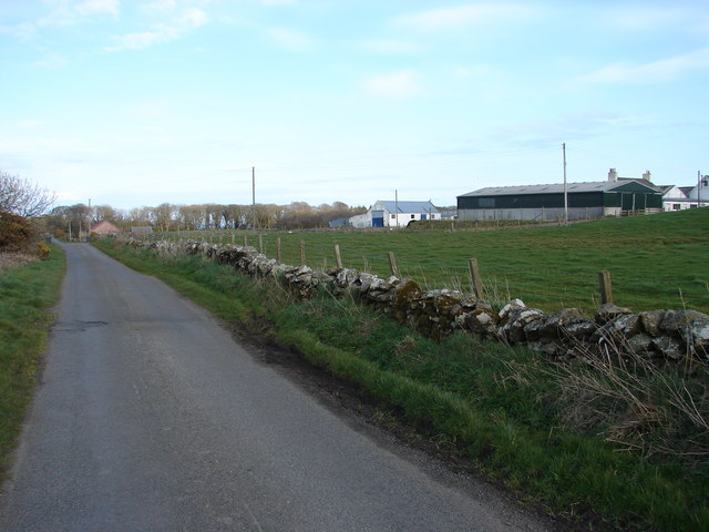
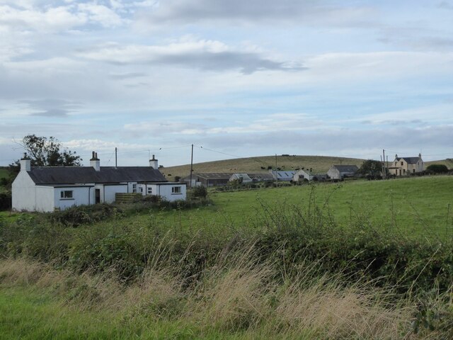
Auchentibbert Hill Images
Images are sourced within 2km of 54.809731/-5.0096379 or Grid Reference NX0650. Thanks to Geograph Open Source API. All images are credited.


Auchentibbert Hill is located at Grid Ref: NX0650 (Lat: 54.809731, Lng: -5.0096379)
Unitary Authority: Dumfries and Galloway
Police Authority: Dumfries and Galloway
What 3 Words
///opened.wacky.avid. Near Stranraer, Dumfries & Galloway
Nearby Locations
Related Wikis

Stoneykirk
Stoneykirk (Scottish Gaelic: Eaglais Steafain) is an area and a village in the heart of the Rhins of Galloway, Wigtownshire, in the administrative council...

Clachanmore
Clachanmore is a village in the South Rhins of Galloway near Ardwell in the south west of Scotland. It has also been known as Low Ardwell.The name of the...
Sandhead
Sandhead is a small village in Dumfries and Galloway, south west Scotland. It overlooks Luce Bay, 7 miles south of Stranraer. The old main road, named...
Knockinaam Lodge
Knockinaam Lodge is a hotel and restaurant located about 3.5 miles South of Portpatrick, Dumfries & Galloway, Scotland. As of 2008, the restaurant holds...

Colfin railway station
Colfin railway station, located in Wigtownshire, Scotland, between Portpatrick and Stranraer, was a station on the Portpatrick and Wigtownshire Joint Railway...
Garthland Castle
Garthland Castle was a castle that was located near Garthland Mains, Dumfries and Galloway, Scotland.The castle was possibly built in 1211, as a datestone...

Doon Castle Broch
Doon Castle Broch is an iron-age broch located in Dumfries and Galloway, Scotland (grid reference NX 06702 44683). == Location == The Broch is located...

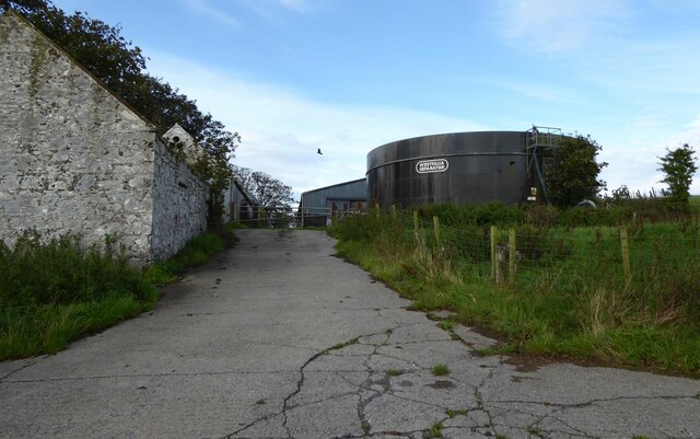
RAF West Freugh
RAF West Freugh is a former Royal Air Force station located in Wigtownshire, 5 miles (8 km) south east of Stranraer, Dumfries and Galloway, Scotland. It...
Nearby Amenities
Located within 500m of 54.809731,-5.0096379Have you been to Auchentibbert Hill?
Leave your review of Auchentibbert Hill below (or comments, questions and feedback).