Meg's Hill

Hill, Mountain in Wigtownshire

Scotland

Meg's Hill

Field -gulls following the plough After harvesting, the stubble is being ploughed in. This is on an unclassified road near Sandhead, between Balgreggan and Cairngarroch farms.
Field -gulls following the plough Credit: Ann Cook

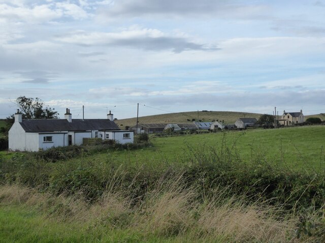
Meg's Hill is a prominent geographical feature located in Wigtownshire, a region in southwest Scotland. Rising to an elevation of 286 meters (938 feet), it is classified as a hill rather than a mountain. The hill is situated near the small village of Mochrum, approximately 7 kilometers (4.3 miles) southwest of the town of Newton Stewart.

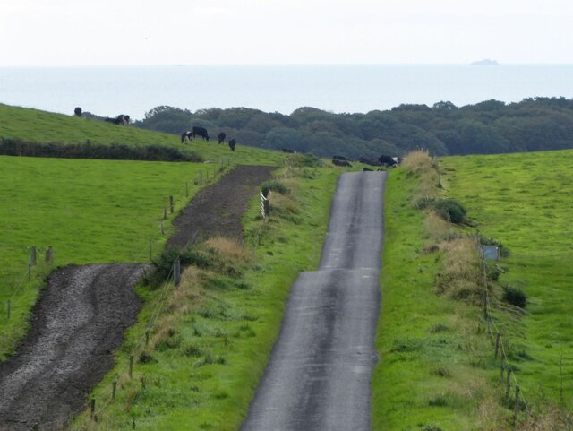
Meg's Hill offers breathtaking panoramic views of the surrounding countryside, making it a popular destination for hikers and nature enthusiasts. Its location on the edge of the Galloway Forest Park adds to its allure, as visitors can enjoy the enchanting landscapes and diverse wildlife that the park is renowned for.

The hill is characterized by its gently sloping, grassy terrain, which makes it accessible to walkers of various abilities. Although not particularly challenging, the ascent to the summit rewards climbers with stunning vistas of rolling hills, lush valleys, and the sparkling waters of the River Cree in the distance.

Meg's Hill is named after a local legend involving a woman named Meg, who was said to have lived on the hill and possessed magical powers. According to the tale, she was able to conjure up storms and control the weather to protect the villagers from harm. Although the story may be purely fictional, it adds a touch of mystique to the hill's already captivating appeal.

Whether it be for a leisurely stroll, a picnic, or simply to enjoy the natural beauty of the surrounding area, Meg's Hill offers a serene and captivating experience for visitors of all ages.

If you have any feedback on the listing, please let us know in the comments section below.
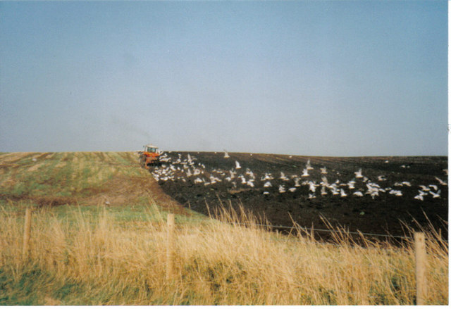
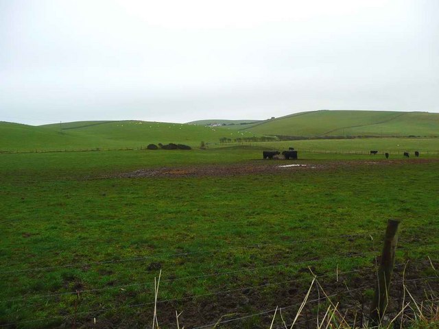
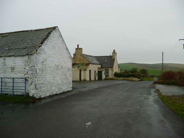
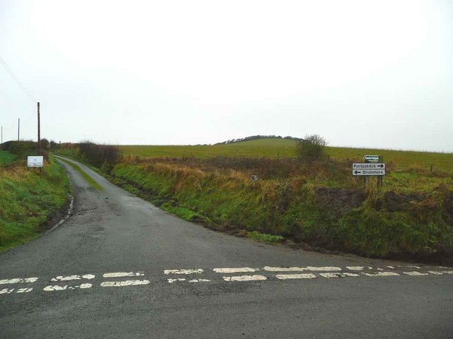
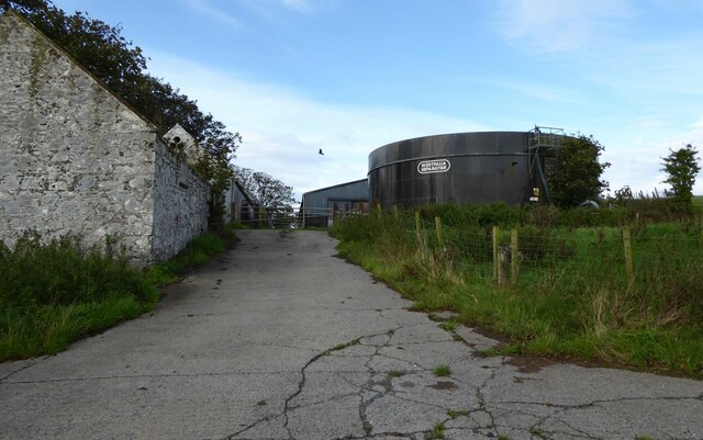
Meg's Hill Images

Images are sourced within 2km of 54.814237/-5.0150326 or Grid Reference NX0650. Thanks to Geograph Open Source API. All images are credited.

Field -gulls following the plough After harvesting, the stubble is being ploughed in. This is on an unclassified road near Sandhead, between Balgreggan and Cairngarroch farms.
Field -gulls following the plough
After harvesting, the stubble is being ploughed in. This is on an unclassified road near Sandhead, between Balgreggan and Cairngarroch farms.
Rough grazing near Auchentibbert
Cairngarroch
Cairngarroch
West Cairngarroch roadend
Kildonnan Cottages With cattle on the hill beyond.
Kildonnan Cottages
With cattle on the hill beyond.
Kildonnan farm With a huge Westfalia Separator tank.
Kildonnan farm
With a huge Westfalia Separator tank.
The road to Sandhead Cattle country!
Note the fenced track beside the pasture so the cows do not trample the grass on their way to be milked.
On the horizon are the Little Scares and the Big Scare.
The road to Sandhead
Cattle country! Note the fenced track beside the pasture so the cows do not trample the grass on their way to be milked. On the horizon are the Little Scares and the Big Scare.
Stoneykirk Aviation Museum Exhibition room.
Stoneykirk Aviation Museum
Exhibition room.
Stoneykirk Aviation Museum Exhibition room showing map of Woomera in Australia.
Stoneykirk Aviation Museum
Exhibition room showing map of Woomera in Australia.
Stoneykirk Aviation Museum Showing information on the Vulcan Bomber.
Stoneykirk Aviation Museum
Showing information on the Vulcan Bomber.
Stoneykirk Aviation Museum Exhibition room showing WRAF No1. Dress Uniform.
Stoneykirk Aviation Museum
Exhibition room showing WRAF No1. Dress Uniform.
Stoneykirk Aviation Museum Exhibition room.
Stoneykirk Aviation Museum
Exhibition room.
Stoneykirk Aviation Museum Information panel on the Vulcan Bomber.
Stoneykirk Aviation Museum
Information panel on the Vulcan Bomber.
De Havilland Comet Engineer's Panel At the Stoneykirk Aviation Museum.
De Havilland Comet Engineer's Panel
At the Stoneykirk Aviation Museum.
Procedural Trainer At the Stoneykirk Aviation Museum.
Procedural Trainer
At the Stoneykirk Aviation Museum.
Air Traffic Control Instruments at the Stoneykirk Aviation Museum.
Air Traffic Control
Instruments at the Stoneykirk Aviation Museum.
Test Equipment At the Stoneykirk Aviation Museum.
Test Equipment
At the Stoneykirk Aviation Museum.
Tail from a 1000 lb Bomb At the Stoneykirk Aviation Museum.
Tail from a 1000 lb Bomb
At the Stoneykirk Aviation Museum.
Show me another place!

Meg's Hill is located at Grid Ref: NX0650 (Lat: 54.814237, Lng: -5.0150326)

Unitary Authority: Dumfries and Galloway

Police Authority: Dumfries and Galloway

What 3 Words

///vaulting.width.sank. Near Stranraer, Dumfries & Galloway

Related Wikis

Stoneykirk

Stoneykirk (Scottish Gaelic: Eaglais Steafain) is an area and a village in the heart of the Rhins of Galloway, Wigtownshire, in the administrative council...

Knockinaam Lodge

Knockinaam Lodge is a hotel and restaurant located about 3.5 miles South of Portpatrick, Dumfries & Galloway, Scotland. As of 2008, the restaurant holds...

Sandhead

Sandhead is a small village in Dumfries and Galloway, south west Scotland. It overlooks Luce Bay, 7 miles south of Stranraer. The old main road, named...

Clachanmore

Clachanmore is a village in the South Rhins of Galloway near Ardwell in the south west of Scotland. It has also been known as Low Ardwell.The name of the...

Nearby Amenities

Located within 500m of 54.814237,-5.0150326
Ducarroch Hill
Place: locality
Lat/Long: 54.8129765/-5.0199669
Cairngarroch
Place: farm
Lat/Long: 54.8113003/-5.0141172
Meg's Hill
Natural: peak
Lat/Long: 54.8142685/-5.0144356
Power: pole
Lat/Long: 54.8104374/-5.0167865
Power: pole
Lat/Long: 54.8108746/-5.0159212
Power: pole
Lat/Long: 54.8113866/-5.0149065
The data included in this document is from www.openstreetmap.org. The data is made available under ODbL.

Have you been to Meg's Hill?

Leave your review of Meg's Hill below (or comments, questions and feedback).