Anne Hill

Hill, Mountain in Wigtownshire

Scotland

Anne Hill

Gap in the trees Looking down through the trees in Knockinaam Woods.
Gap in the trees Credit: Jon Alexander

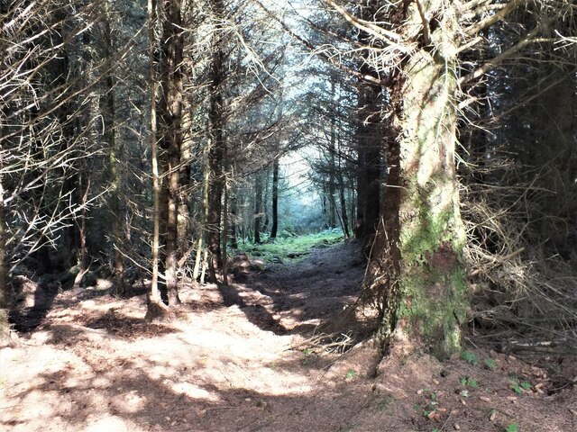
Anne Hill is a prominent geographical feature located in Wigtownshire, Scotland. Rising to an elevation of 460 meters (1,509 feet), it is regarded as one of the highest points in the region. Situated within the Galloway Hills, Anne Hill offers breathtaking panoramic views of the surrounding landscape.

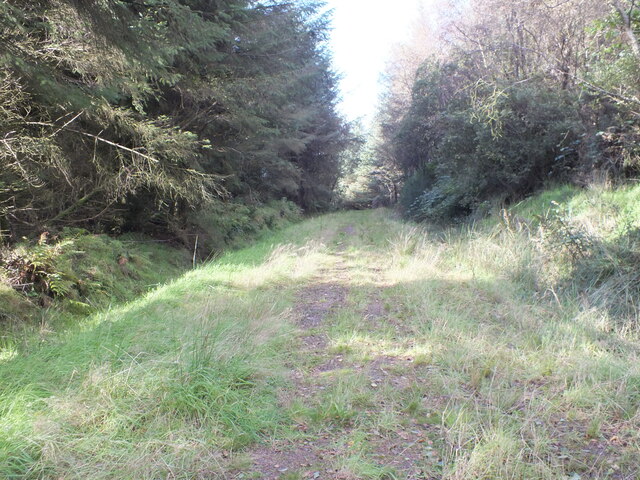
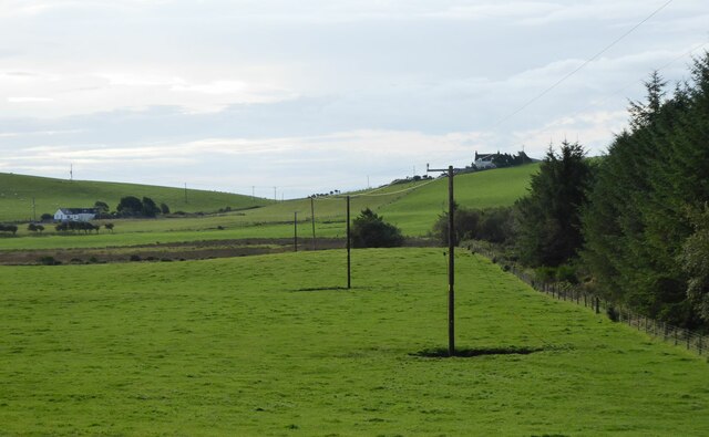
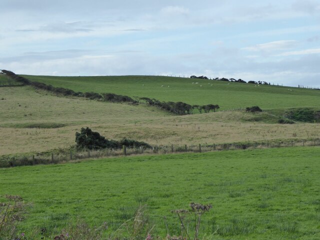
This mountain is part of a range known for its rugged terrain, characterized by steep slopes, rocky outcrops, and grassy meadows. The area is a haven for outdoor enthusiasts, as it provides ample opportunities for hiking, hillwalking, and wildlife spotting. Anne Hill is particularly popular with visitors seeking a challenging yet rewarding ascent, thanks to its varied terrain and well-marked trails.

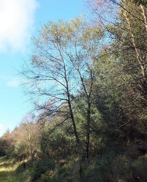
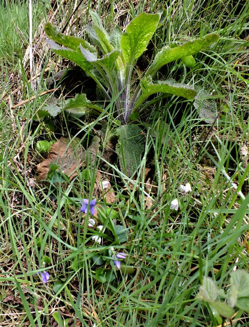
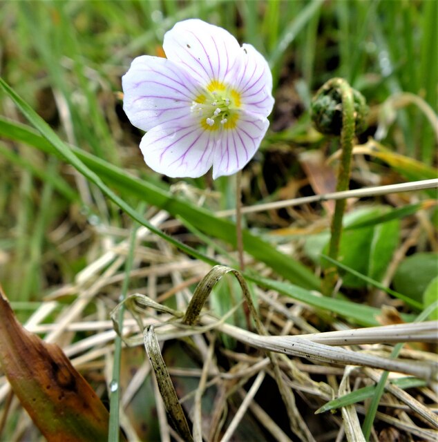
The mountain's diverse flora and fauna further enhance its appeal. The lower slopes are adorned with heather and gorse, while the higher reaches boast a range of upland grasses and wildflowers. These habitats also support a variety of wildlife, including red deer, mountain hares, and buzzards.

Anne Hill's location within the Galloway Forest Park adds to its allure, as the park is renowned for its designation as a Dark Sky Park. This makes it an excellent spot for stargazing, as the absence of light pollution allows for clear views of the night sky.

With its majestic height, scenic beauty, and diverse ecosystem, Anne Hill is a must-visit destination for nature lovers and outdoor enthusiasts alike. Whether venturing to its summit or simply exploring the surrounding area, visitors are sure to be captivated by the natural splendor that Anne Hill and its surroundings have to offer.

If you have any feedback on the listing, please let us know in the comments section below.
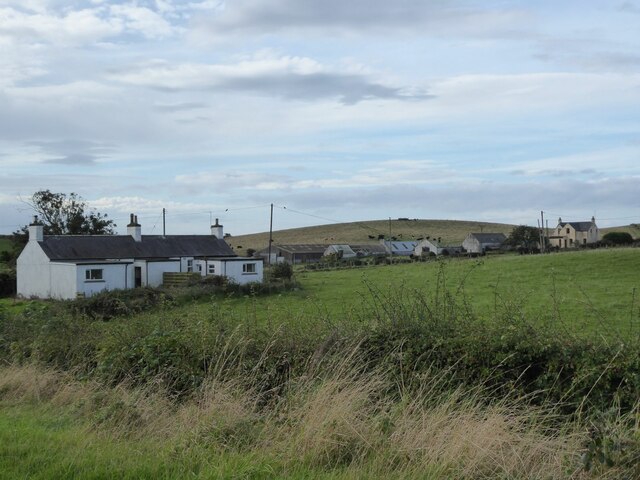
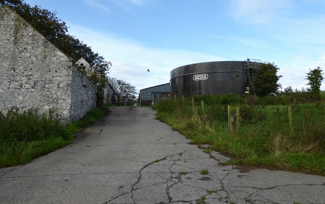
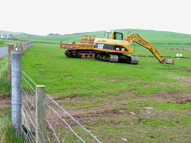
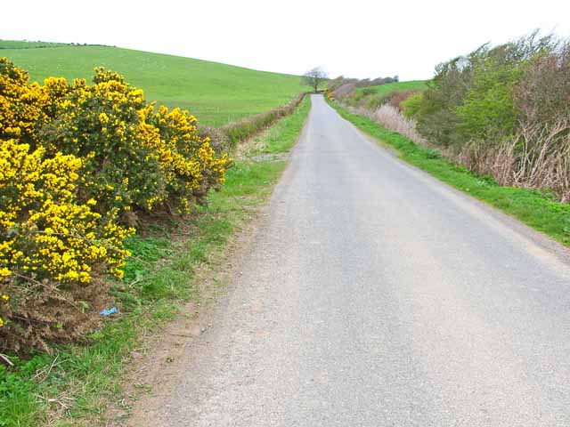
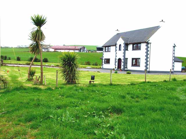
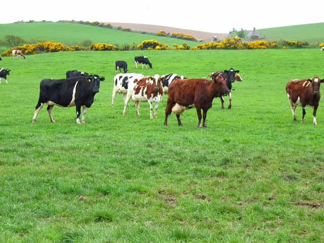
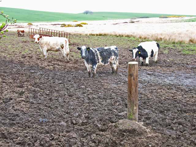
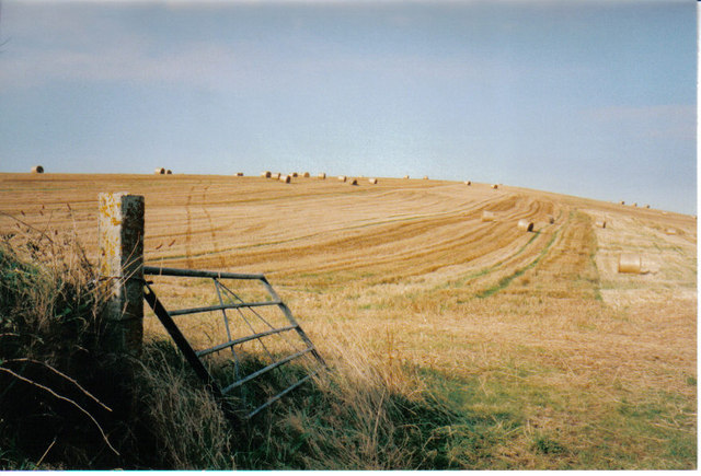
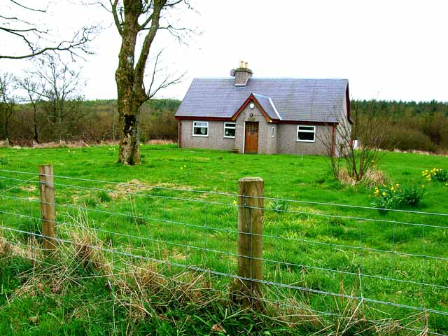
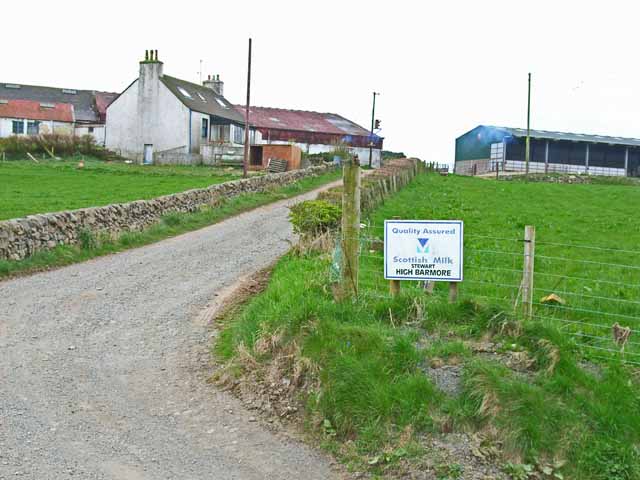
Anne Hill Images

Images are sourced within 2km of 54.837028/-5.0262189 or Grid Reference NX0553. Thanks to Geograph Open Source API. All images are credited.

Gap in the trees Looking down through the trees in Knockinaam Woods.
Gap in the trees
Looking down through the trees in Knockinaam Woods.
Birch tree Beside the track in Knockinaam Wood.
Birch tree
Beside the track in Knockinaam Wood.
Down the track In Knockinaam Wood.
Down the track
In Knockinaam Wood.
Floral Collection Next to the track in Knockinaam Wood. At the top we have a Foxglove (Digitalis purpurea) which is not yet in flower, below this are Dog Violets (Viola riviniana) and the white Wood Sorrel flowers (Oxalis acetosella).
Floral Collection
Next to the track in Knockinaam Wood. At the top we have a Foxglove (Digitalis purpurea) which is not yet in flower, below this are Dog Violets (Viola riviniana) and the white Wood Sorrel flowers (Oxalis acetosella).
Wood Sorrel The pretty white flowers of the Wood Sorrel (Oxalis acetosella) with their five petals, purple veins and distinctive trefoil leaves which close as night falls, reopening in the dappled sun the next morning.
Wood Sorrel
The pretty white flowers of the Wood Sorrel (Oxalis acetosella) with their five petals, purple veins and distinctive trefoil leaves which close as night falls, reopening in the dappled sun the next morning.
Grassland beside Knockinaam Wood South Port o' Spittal farm on the right horizon.
Grassland beside Knockinaam Wood
South Port o' Spittal farm on the right horizon.
Sheep on Barmore Hill More grassland!
Sheep on Barmore Hill
More grassland!
Barmore House Note the tropical palm trees!
Barmore House
Note the tropical palm trees!
Kildonnan Cottages With cattle on the hill beyond.
Kildonnan Cottages
With cattle on the hill beyond.
Kildonnan farm With a huge Westfalia Separator tank.
Kildonnan farm
With a huge Westfalia Separator tank.
Earth moving down on the farm Seen from the B7042
Earth moving down on the farm
Seen from the B7042
B7042 Portpatrick to Sandhead road In south-west Scotland, the B roads are more like quiet country lanes.
B7042 Portpatrick to Sandhead road
In south-west Scotland, the B roads are more like quiet country lanes.
The "Scottish Riviera" Palm trees outside this house at Balmore are witness to the mild climate of Galloway.
The "Scottish Riviera"
Palm trees outside this house at Balmore are witness to the mild climate of Galloway.
Cattle at High Three Mark Seen from the B7042
Cattle at High Three Mark
Seen from the B7042
Cattle in the brown stuff Seen from the B7042. Am I alone in finding something rather distasteful about this part of the human food chain? 

However, I am assured by 4wd that all is not as it seems. They look well fed and contented. Straw for bedding is hard to come by in remote parts of Scotland and transporting it any distance is now extremely costly. So some cattle are outwintered if possible and they tend to spend a lot of time standing near the gate or feed trough waiting for feed! They aren't confined there with nowhere clean to lie as their clean flanks indicate.
Cattle in the brown stuff
Seen from the B7042. Am I alone in finding something rather distasteful about this part of the human food chain? However, I am assured by 4wd that all is not as it seems. They look well fed and contented. Straw for bedding is hard to come by in remote parts of Scotland and transporting it any distance is now extremely costly. So some cattle are outwintered if possible and they tend to spend a lot of time standing near the gate or feed trough waiting for feed! They aren't confined there with nowhere clean to lie as their clean flanks indicate.
Field at harvest time On the B7042, Portpatrick to Sandhead road, the combine harvester had cut this field.
Field at harvest time
On the B7042, Portpatrick to Sandhead road, the combine harvester had cut this field.
Woodland cottage near Port of Spittal
High Barmore Dairy farm in the Rhinns of Galloway
High Barmore
Dairy farm in the Rhinns of Galloway
Show me another place!

Anne Hill is located at Grid Ref: NX0553 (Lat: 54.837028, Lng: -5.0262189)

Unitary Authority: Dumfries and Galloway

Police Authority: Dumfries and Galloway

What 3 Words

///galloping.anchors.fast. Near Stranraer, Dumfries & Galloway

Nearby Locations

Anne Hill

Related Wikis

Colfin railway station

Colfin railway station, located in Wigtownshire, Scotland, between Portpatrick and Stranraer, was a station on the Portpatrick and Wigtownshire Joint Railway...

Garthland Castle

Garthland Castle was a castle that was located near Garthland Mains, Dumfries and Galloway, Scotland.The castle was possibly built in 1211, as a datestone...

Rhins of Galloway

The Rhins of Galloway, otherwise known as the Rhins of Wigtownshire (or as The Rhins, also spelled The Rhinns; Scottish Gaelic: Na Rannaibh), is a hammer...

Stoneykirk

Stoneykirk (Scottish Gaelic: Eaglais Steafain) is an area and a village in the heart of the Rhins of Galloway, Wigtownshire, in the administrative council...

Lochans, Dumfries and Galloway

Lochans is a small village around 2.5 miles (4.0 km) south of Stranraer, in Dumfries and Galloway in south-west Scotland. In 1971 it had a population of...

Knockinaam Lodge

Knockinaam Lodge is a hotel and restaurant located about 3.5 miles South of Portpatrick, Dumfries & Galloway, Scotland. As of 2008, the restaurant holds...

RAF West Freugh

RAF West Freugh is a former Royal Air Force station located in Wigtownshire, 5 miles (8 km) south east of Stranraer, Dumfries and Galloway, Scotland. It...

Dunskey Castle

Dunskey Castle is a ruined, 12th-century tower house or castle, located 0.5 miles (0.80 km) south of the village of Portpatrick, Rhinns, Wigtownshire,...

Nearby Amenities

Located within 500m of 54.837028,-5.0262189
Anne Hill
Natural: peak
Lat/Long: 54.8369856/-5.0261902
Power: pole
Lat/Long: 54.8383661/-5.0320687
Power: pole
Lat/Long: 54.838185/-5.0308972
Power: pole
Lat/Long: 54.8381038/-5.0291905
Power: pole
Lat/Long: 54.8380403/-5.0279064
Power: pole
Lat/Long: 54.8379876/-5.0267819
Power: pole
Lat/Long: 54.8379321/-5.0256855
Power: pole
Lat/Long: 54.8378524/-5.0245094
Power: pole
Lat/Long: 54.8373116/-5.0231947
Power: pole
Lat/Long: 54.8368438/-5.0220538
Power: pole
Lat/Long: 54.8363516/-5.0208846
Power: pole
Lat/Long: 54.835754/-5.0194784
The data included in this document is from www.openstreetmap.org. The data is made available under ODbL.

Have you been to Anne Hill?

Leave your review of Anne Hill below (or comments, questions and feedback).