Hog Hill
Hill, Mountain in Wigtownshire
Scotland
Hog Hill
Hog Hill is a prominent landmark located in Wigtownshire, a picturesque region in southwestern Scotland. Although technically classified as a hill, its steep slopes and towering elevation of 348 meters (1,142 feet) give it the appearance of a small mountain. This geographical feature lies approximately 8 kilometers (5 miles) northeast of the town of Newton Stewart.
The hill is characterized by its distinctive shape, resembling the back of a hog, which is said to have given rise to its name. Its unique formation is the result of glacial activity during the last ice age, sculpting the landscape and leaving behind this striking landform. The hill is composed mostly of rugged, granite rock, adding to its imposing and majestic appearance.
Hog Hill is a popular destination for outdoor enthusiasts and nature lovers, attracting hikers, climbers, and photographers from near and far. Its challenging terrain offers a range of routes and trails suitable for all fitness levels, providing breathtaking panoramic views of the surrounding countryside from its summit.
The hill is also renowned for its diverse flora and fauna, with heather, gorse, and mosses covering its slopes, providing a vibrant and colorful landscape. The surrounding area is home to various wildlife species, including red deer, foxes, and a variety of bird species, making it an ideal spot for wildlife observation and photography.
Overall, Hog Hill stands as a prominent natural landmark in Wigtownshire, offering visitors a chance to immerse themselves in the region's natural beauty while providing a challenging and rewarding outdoor experience.
If you have any feedback on the listing, please let us know in the comments section below.
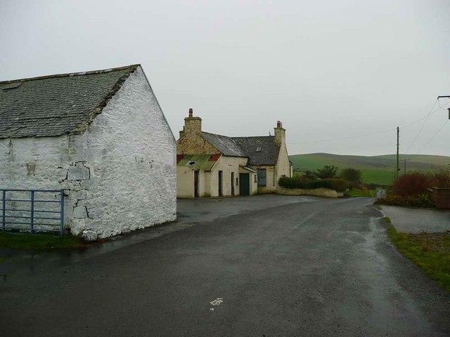
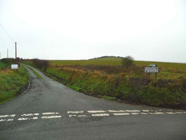
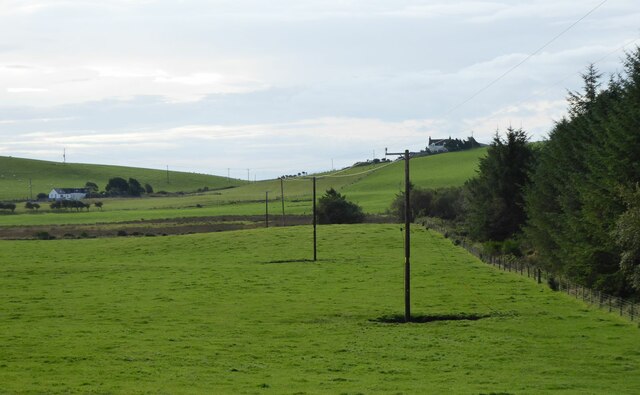
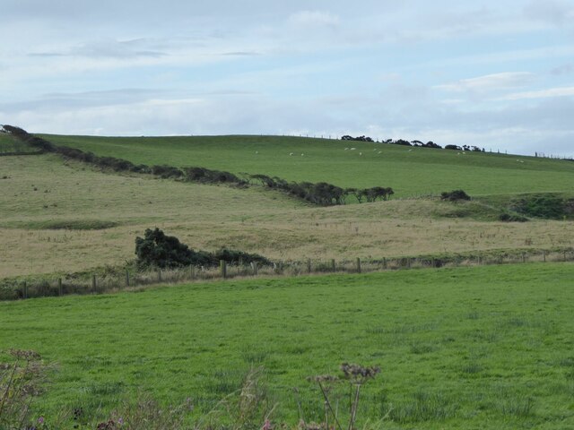
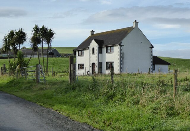
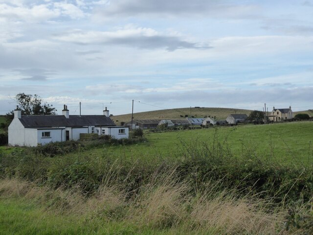
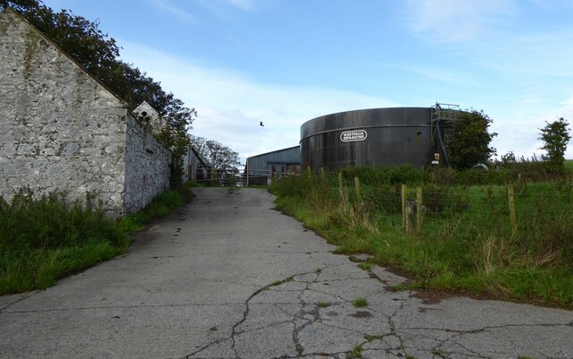
Hog Hill Images
Images are sourced within 2km of 54.821861/-5.0279954 or Grid Reference NX0551. Thanks to Geograph Open Source API. All images are credited.


Hog Hill is located at Grid Ref: NX0551 (Lat: 54.821861, Lng: -5.0279954)
Unitary Authority: Dumfries and Galloway
Police Authority: Dumfries and Galloway
What 3 Words
///campsites.banquets.ideas. Near Stranraer, Dumfries & Galloway
Nearby Locations
Related Wikis

Colfin railway station
Colfin railway station, located in Wigtownshire, Scotland, between Portpatrick and Stranraer, was a station on the Portpatrick and Wigtownshire Joint Railway...

Knockinaam Lodge
Knockinaam Lodge is a hotel and restaurant located about 3.5 miles South of Portpatrick, Dumfries & Galloway, Scotland. As of 2008, the restaurant holds...
Stoneykirk
Stoneykirk (Scottish Gaelic: Eaglais Steafain) is an area and a village in the heart of the Rhins of Galloway, Wigtownshire, in the administrative council...
Garthland Castle
Garthland Castle was a castle that was located near Garthland Mains, Dumfries and Galloway, Scotland.The castle was possibly built in 1211, as a datestone...

Rhins of Galloway
The Rhins of Galloway, otherwise known as the Rhins of Wigtownshire (or as The Rhins, also spelled The Rhinns; Scottish Gaelic: Na Rannaibh), is a hammer...
Lochans, Dumfries and Galloway
Lochans is a small village around 2.5 miles (4.0 km) south of Stranraer, in Dumfries and Galloway in south-west Scotland. In 1971 it had a population of...

Dunskey Castle
Dunskey Castle is a ruined, 12th-century tower house or castle, located 0.5 miles (0.80 km) south of the village of Portpatrick, Rhinns, Wigtownshire,...
Sandhead
Sandhead is a small village in Dumfries and Galloway, south west Scotland. It overlooks Luce Bay, 7 miles south of Stranraer. The old main road, named...
Nearby Amenities
Located within 500m of 54.821861,-5.0279954Have you been to Hog Hill?
Leave your review of Hog Hill below (or comments, questions and feedback).