Bailie Hill
Hill, Mountain in Wigtownshire
Scotland
Bailie Hill

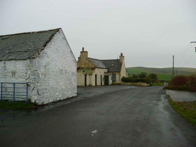
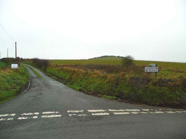
Bailie Hill is a prominent landmark located in Wigtownshire, Dumfries and Galloway, Scotland. Rising to an elevation of approximately 215 meters (705 feet), it is classified as a hill rather than a mountain due to its height. The hill is situated in the southwest part of Wigtownshire, near the small village of Kirkcowan.
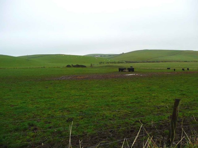
Bailie Hill offers picturesque views of the surrounding countryside, with its slopes covered in lush green vegetation, typical of the Scottish landscape. The hill is easily accessible, with a well-defined path leading to the summit, making it a popular destination for hikers and nature enthusiasts.
At the top of Bailie Hill, visitors are rewarded with panoramic vistas, including views of the rolling hills, meandering rivers, and the nearby Galloway Forest Park. On clear days, it is even possible to catch glimpses of the distant mountains of the Southern Uplands.
The hill is also home to a variety of wildlife, including birds of prey such as buzzards and kestrels, as well as smaller mammals like rabbits and squirrels. The diverse flora and fauna on Bailie Hill contribute to its ecological importance within the region.
Overall, Bailie Hill is a tranquil and scenic location, offering visitors an opportunity to immerse themselves in nature and enjoy the breathtaking beauty of Wigtownshire's countryside. Whether it be for a leisurely stroll or a more challenging hike, this hill provides a memorable experience for all who venture to its summit.
If you have any feedback on the listing, please let us know in the comments section below.
Bailie Hill Images
Images are sourced within 2km of 54.808111/-5.0385778 or Grid Reference NX0450. Thanks to Geograph Open Source API. All images are credited.


Bailie Hill is located at Grid Ref: NX0450 (Lat: 54.808111, Lng: -5.0385778)
Unitary Authority: Dumfries and Galloway
Police Authority: Dumfries and Galloway
What 3 Words
///listen.obliging.aviation. Near Stranraer, Dumfries & Galloway
Nearby Locations
Related Wikis

Knockinaam Lodge
Knockinaam Lodge is a hotel and restaurant located about 3.5 miles South of Portpatrick, Dumfries & Galloway, Scotland. As of 2008, the restaurant holds...

Colfin railway station
Colfin railway station, located in Wigtownshire, Scotland, between Portpatrick and Stranraer, was a station on the Portpatrick and Wigtownshire Joint Railway...

Clachanmore
Clachanmore is a village in the South Rhins of Galloway near Ardwell in the south west of Scotland. It has also been known as Low Ardwell.The name of the...
Stoneykirk
Stoneykirk (Scottish Gaelic: Eaglais Steafain) is an area and a village in the heart of the Rhins of Galloway, Wigtownshire, in the administrative council...

Dunskey Castle
Dunskey Castle is a ruined, 12th-century tower house or castle, located 0.5 miles (0.80 km) south of the village of Portpatrick, Rhinns, Wigtownshire,...
Sandhead
Sandhead is a small village in Dumfries and Galloway, south west Scotland. It overlooks Luce Bay, 7 miles south of Stranraer. The old main road, named...

Rhins of Galloway
The Rhins (or Rhinns) of Galloway is a double-headed peninsula in southwestern Scotland. It takes the form of a hammerhead projecting into the Irish Sea...

Doon Castle Broch
Doon Castle Broch is an iron-age broch located in Dumfries and Galloway, Scotland (grid reference NX 06702 44683). == Location == The Broch is located...
Nearby Amenities
Located within 500m of 54.808111,-5.0385778Have you been to Bailie Hill?
Leave your review of Bailie Hill below (or comments, questions and feedback).