Cairn Hill
Hill, Mountain in Wigtownshire
Scotland
Cairn Hill

Cairn Hill is a prominent hill located in Wigtownshire, a historic county in the southwestern corner of Scotland. It is situated near the village of Cairnryan, approximately 8 miles north of Stranraer. Rising to an elevation of 289 meters (948 feet), Cairn Hill offers breathtaking panoramic views of the surrounding countryside and the Irish Sea.
The hill is characterized by its distinctive conical shape and rugged terrain, with steep slopes covered in heather and grasses. It is part of the larger range known as the Rhinns of Galloway, a series of hills and mountains that stretch along the western coast of Wigtownshire.
Cairn Hill is a popular destination for hikers and nature enthusiasts, offering various walking trails that cater to different fitness levels. The ascent to the summit can be challenging, but the effort is rewarded with stunning vistas that encompass the nearby Loch Ryan, the rolling hills of Galloway, and even the distant mountains of Northern Ireland on a clear day.
The hill is also home to a diverse range of flora and fauna, with abundant wildlife including red deer, roe deer, and various bird species. It is not uncommon to spot buzzards soaring overhead or hear the melodic song of skylarks during the summer months.
Overall, Cairn Hill is a natural gem in Wigtownshire, offering visitors a chance to immerse themselves in the scenic beauty and tranquility of the Scottish countryside.
If you have any feedback on the listing, please let us know in the comments section below.
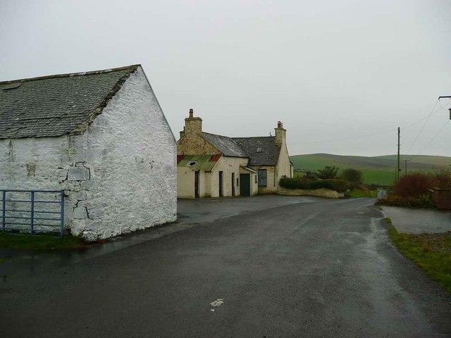
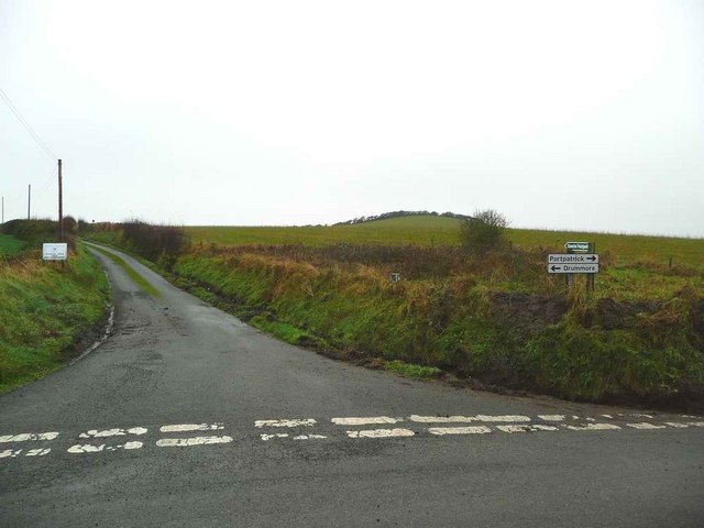
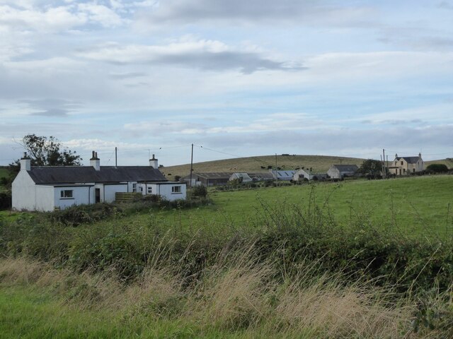
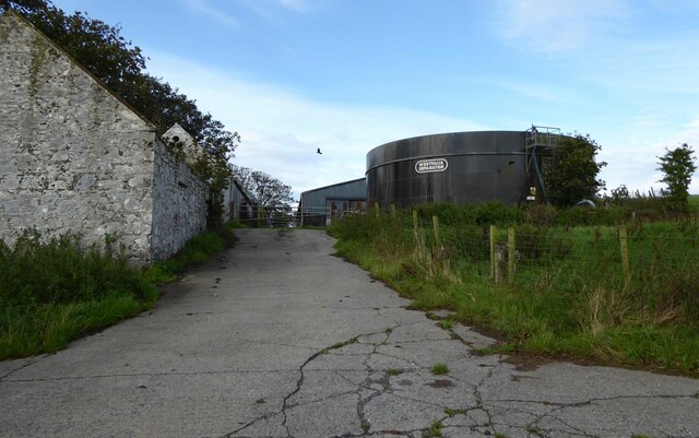
Cairn Hill Images
Images are sourced within 2km of 54.814728/-5.039651 or Grid Reference NX0450. Thanks to Geograph Open Source API. All images are credited.


Cairn Hill is located at Grid Ref: NX0450 (Lat: 54.814728, Lng: -5.039651)
Unitary Authority: Dumfries and Galloway
Police Authority: Dumfries and Galloway
What 3 Words
///force.landlady.answer. Near Stranraer, Dumfries & Galloway
Nearby Locations
Related Wikis

Knockinaam Lodge
Knockinaam Lodge is a hotel and restaurant located about 3.5 miles South of Portpatrick, Dumfries & Galloway, Scotland. As of 2008, the restaurant holds...

Colfin railway station
Colfin railway station, located in Wigtownshire, Scotland, between Portpatrick and Stranraer, was a station on the Portpatrick and Wigtownshire Joint Railway...
Stoneykirk
Stoneykirk (Scottish Gaelic: Eaglais Steafain) is an area and a village in the heart of the Rhins of Galloway, Wigtownshire, in the administrative council...

Dunskey Castle
Dunskey Castle is a ruined, 12th-century tower house or castle, located 0.5 miles (0.80 km) south of the village of Portpatrick, Rhinns, Wigtownshire,...

Rhins of Galloway
The Rhins of Galloway, otherwise known as the Rhins of Wigtownshire (or as The Rhins, also spelled The Rhinns; Scottish Gaelic: Na Rannaibh), is a hammer...
Garthland Castle
Garthland Castle was a castle that was located near Garthland Mains, Dumfries and Galloway, Scotland.The castle was possibly built in 1211, as a datestone...

Clachanmore
Clachanmore is a village in the South Rhins of Galloway near Ardwell in the south west of Scotland. It has also been known as Low Ardwell.The name of the...
Dunskey
Dunskey Estate (also known as Portree Estate) is north of Portpatrick on the west coast of Scotland. The B-listed mansion dates from the start of the twentieth...
Nearby Amenities
Located within 500m of 54.814728,-5.039651Have you been to Cairn Hill?
Leave your review of Cairn Hill below (or comments, questions and feedback).