Beacon Hill
Hill, Mountain in Pembrokeshire
Wales
Beacon Hill
Beacon Hill is a prominent hill located in the county of Pembrokeshire, Wales. Standing at an elevation of approximately 180 meters (590 feet), it offers breathtaking panoramic views of the surrounding countryside and coastline. The hill is situated near the village of Mathry, about 13 kilometers (8 miles) north of the town of St David's.
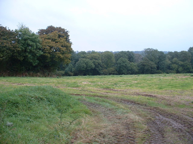
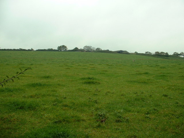
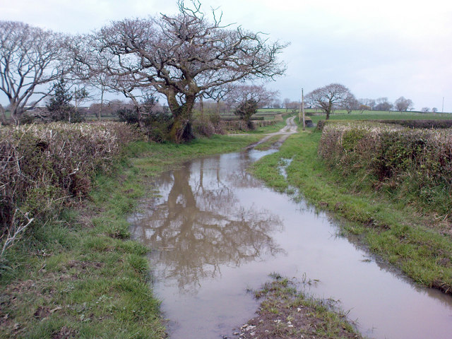
Beacon Hill is characterized by its rugged and undulating terrain, covered in heather, gorse, and grasses. The hill is a popular destination for hikers, nature enthusiasts, and photographers due to its stunning natural beauty. The summit provides an ideal spot for visitors to take in the picturesque landscapes, with views stretching across the rolling hills, farmland, and towards the nearby sea.
One of the notable features of Beacon Hill is the presence of an ancient hillfort, dating back to the Iron Age. The hillfort consists of a series of earthworks and defensive ramparts, which would have provided protection to its inhabitants. Archaeological excavations have revealed evidence of human occupation dating back thousands of years, including pottery and flint tools.
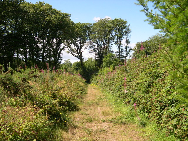
Access to Beacon Hill is relatively straightforward, with a variety of footpaths and trails leading to the summit. The hill is part of the Pembrokeshire Coast National Park, ensuring its preservation and protection for future generations to appreciate and enjoy. Whether it's a leisurely stroll or a more challenging hike, Beacon Hill offers visitors an opportunity to immerse themselves in the natural beauty and history of the Pembrokeshire countryside.
If you have any feedback on the listing, please let us know in the comments section below.
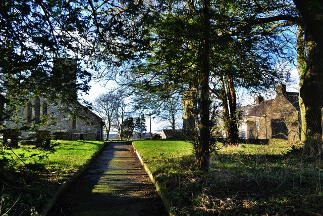
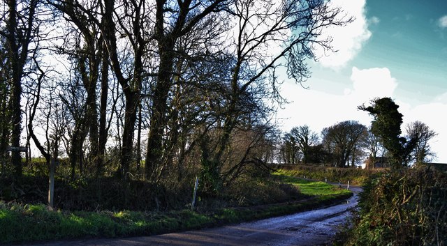
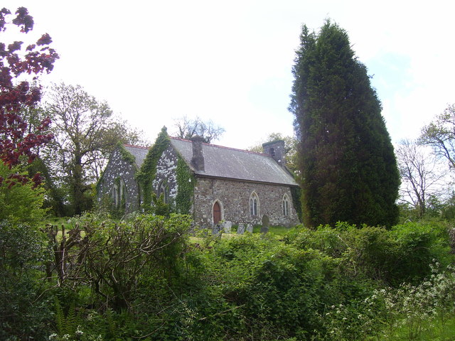
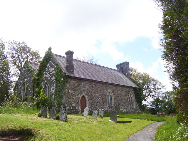
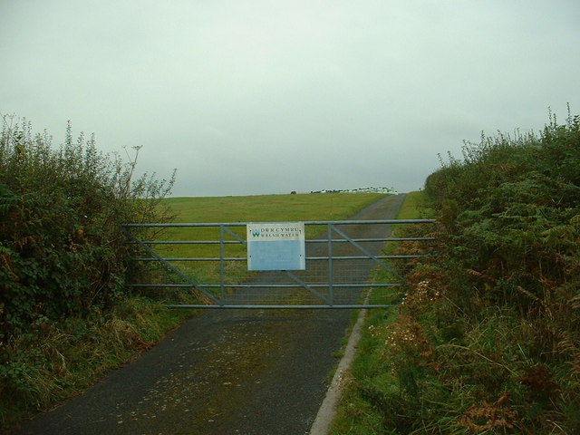
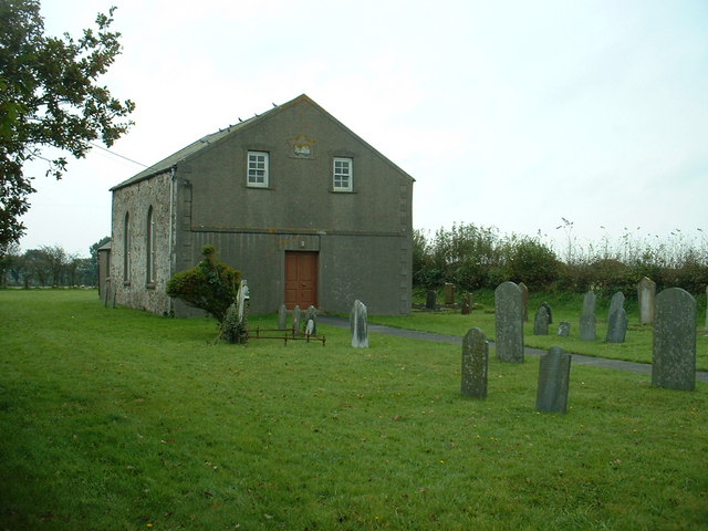
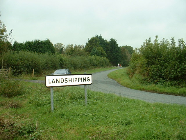
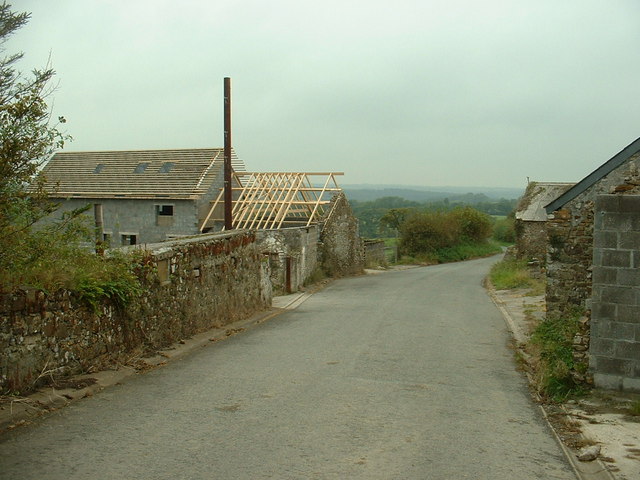
Beacon Hill Images
Images are sourced within 2km of 51.767554/-4.835564 or Grid Reference SN0411. Thanks to Geograph Open Source API. All images are credited.

Beacon Hill is located at Grid Ref: SN0411 (Lat: 51.767554, Lng: -4.835564)
Unitary Authority: Pembrokeshire
Police Authority: Dyfed Powys
What 3 Words
///beard.harp.entitles. Near Llangwm, Pembrokeshire
Nearby Locations
Related Wikis

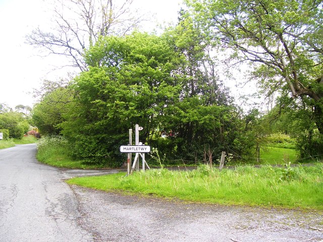
Martletwy
Martletwy is a village, parish and community in the county of Pembrokeshire, Wales. == Description == Martletwy lies in south of the county, the nearest...

Minwear
Minwear is a former parish and village in the community of Martletwy, in the county of Pembrokeshire, Wales, on the Eastern Cleddau river, 4+1⁄2 miles...

Martletwy (electoral ward)
Martletwy is the name of an electoral ward in Pembrokeshire, Wales. It is bordered to the west by the River Cleddau and includes three communities within...

Oakwood Theme Park
Oakwood Theme Park (formerly Oakwood Leisure Park, Oakwood Coaster Country & Oakwood Park) is a theme park in Pembrokeshire, Wales. Oakwood opened in the...

Blue Lagoon Water Park, Pembrokeshire
Blue Lagoon Water Park is an indoor waterpark near Canaston Bridge, Narberth in Pembrokeshire, Wales in the Bluestone National Park Resort. It opened in...
Minwear Wood
Minwear Wood is a Site of Special Scientific Interest (or SSSI) in Pembrokeshire, South Wales. It has been designated as a Site of Special Scientific Interest...

Speed: No Limits
Speed: No Limits is a roller coaster at Oakwood Theme Park, Pembrokeshire, UK. It is a Gerstlauer Euro-Fighter and contains a 90° chain lift hill and a...

Megafobia
Megafobia is a wooden roller coaster located at Oakwood Theme Park, Pembrokeshire, Wales, United Kingdom. It opened on 30 April 1996 and was built by Custom...
Nearby Amenities
Located within 500m of 51.767554,-4.835564Have you been to Beacon Hill?
Leave your review of Beacon Hill below (or comments, questions and feedback).