Blue Bonnet Hill
Hill, Mountain in Wigtownshire
Scotland
Blue Bonnet Hill

Blue Bonnet Hill is a prominent hill located in Wigtownshire, Scotland. It is situated in the southern part of the county, near the town of Wigtown. With an elevation of approximately 192 meters (630 feet), it offers breathtaking panoramic views of the surrounding landscape and the picturesque town below.
The hill derives its name from the vibrant display of bluebells that cover its slopes during the spring season, creating a stunning carpet of blue. This natural phenomenon attracts numerous visitors and nature enthusiasts, who flock to Blue Bonnet Hill to witness this awe-inspiring sight.
The hill is easily accessible through a network of well-maintained footpaths, making it a popular destination for hikers and walkers of all abilities. The trails are surrounded by lush greenery, native vegetation, and a variety of wildlife, providing an immersive and tranquil experience for outdoor adventurers.
At the top of Blue Bonnet Hill, there is a small observation point that offers unobstructed views of the surrounding countryside, including the rolling hills, farmland, and the sparkling waters of the nearby Solway Firth. On clear days, it is even possible to catch glimpses of the distant mountains of the Lake District in England.
Blue Bonnet Hill is a cherished natural landmark in Wigtownshire, providing a serene escape for locals and tourists alike. Whether it's for a leisurely stroll, a challenging hike, or simply to admire the breathtaking scenery, this hill offers a memorable experience for all who venture to its summit.
If you have any feedback on the listing, please let us know in the comments section below.
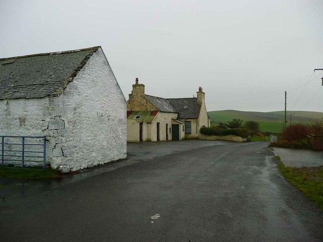
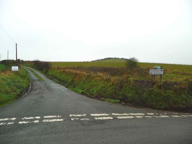
Blue Bonnet Hill Images
Images are sourced within 2km of 54.805699/-5.044747 or Grid Reference NX0449. Thanks to Geograph Open Source API. All images are credited.


Blue Bonnet Hill is located at Grid Ref: NX0449 (Lat: 54.805699, Lng: -5.044747)
Unitary Authority: Dumfries and Galloway
Police Authority: Dumfries and Galloway
What 3 Words
///roving.renews.enchanted. Near Stranraer, Dumfries & Galloway
Nearby Locations
Related Wikis

Knockinaam Lodge
Knockinaam Lodge is a hotel and restaurant located about 3.5 miles South of Portpatrick, Dumfries & Galloway, Scotland. As of 2008, the restaurant holds...

Colfin railway station
Colfin railway station, located in Wigtownshire, Scotland, between Portpatrick and Stranraer, was a station on the Portpatrick and Wigtownshire Joint Railway...

Clachanmore
Clachanmore is a village in the South Rhins of Galloway near Ardwell in the south west of Scotland. It has also been known as Low Ardwell.The name of the...

Dunskey Castle
Dunskey Castle is a ruined, 12th-century tower house or castle, located 0.5 miles (0.80 km) south of the village of Portpatrick, Rhinns, Wigtownshire,...
Stoneykirk
Stoneykirk (Scottish Gaelic: Eaglais Steafain) is an area and a village in the heart of the Rhins of Galloway, Wigtownshire, in the administrative council...

Doon Castle Broch
Doon Castle Broch is an iron-age broch located in Dumfries and Galloway, Scotland (grid reference NX 06702 44683). == Location == The Broch is located...
Dunskey
Dunskey Estate (also known as Portree Estate) is north of Portpatrick on the west coast of Scotland. The B-listed mansion dates from the start of the twentieth...

Rhins of Galloway
The Rhins of Galloway, otherwise known as the Rhins of Wigtownshire (or as The Rhins, also spelled The Rhinns; Scottish Gaelic: Na Rannaibh), is a hammer...
Nearby Amenities
Located within 500m of 54.805699,-5.044747Have you been to Blue Bonnet Hill?
Leave your review of Blue Bonnet Hill below (or comments, questions and feedback).