Challoch Hill
Hill, Mountain in Wigtownshire
Scotland
Challoch Hill
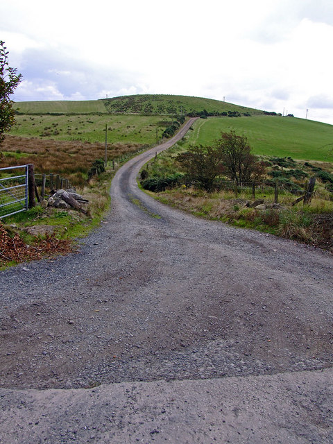
Challoch Hill is a prominent hill located in Wigtownshire, Scotland. It is situated near the village of Dunragit, about 6 miles northeast of Stranraer. Rising to a height of approximately 218 meters (715 feet), it offers a commanding presence in the surrounding landscape.
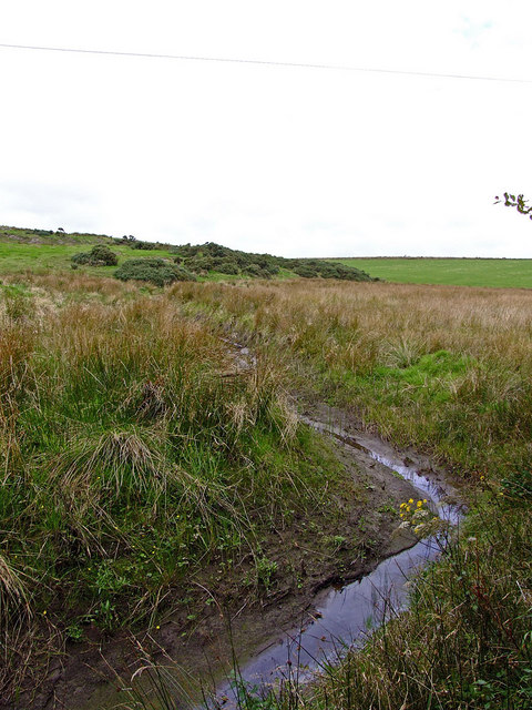
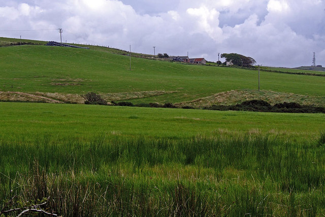
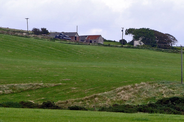
The hill is primarily composed of granite, which gives it a rugged and rocky terrain. Its slopes are covered with heather, grasses, and scattered trees, creating a picturesque setting. From the summit, visitors can enjoy panoramic views of the surrounding countryside, including the Galloway Hills to the northeast and the Irish Sea to the west.
Challoch Hill is a popular destination for outdoor enthusiasts, hikers, and nature lovers. Several walking trails traverse the hill, offering various levels of difficulty for different fitness levels. The routes are well-marked and provide opportunities to explore the diverse flora and fauna of the area.
Apart from its natural beauty, Challoch Hill also boasts historical significance. The hill is home to an ancient hillfort, believed to have been constructed during the Iron Age. The remains of defensive ramparts and ditches can still be seen, providing a glimpse into the area's past.
Overall, Challoch Hill in Wigtownshire is a stunning natural landmark that offers both recreational activities and a glimpse into Scotland's rich history. Whether it is for hiking, wildlife spotting, or simply enjoying the scenic beauty, this hill is a must-visit destination for nature enthusiasts and history buffs alike.
If you have any feedback on the listing, please let us know in the comments section below.
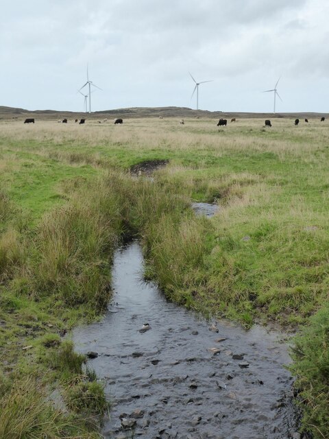
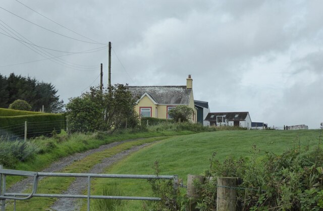
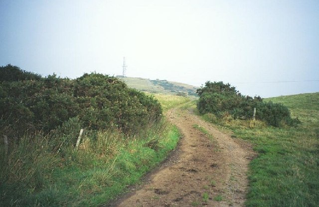
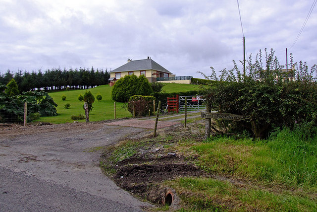
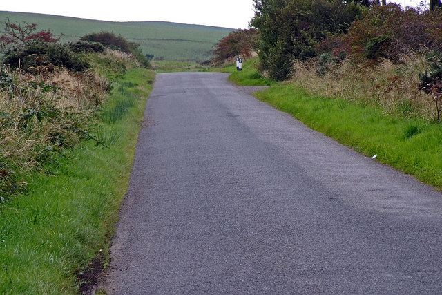
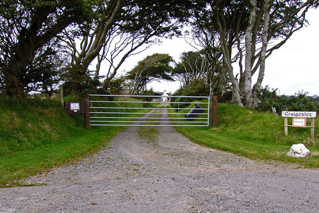
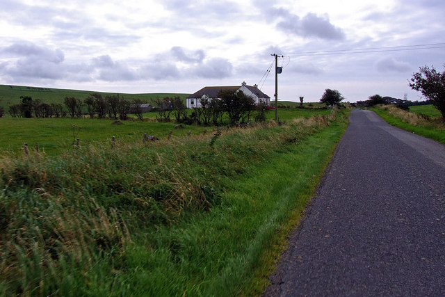
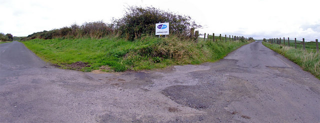
Challoch Hill Images
Images are sourced within 2km of 54.869198/-5.0641266 or Grid Reference NX0357. Thanks to Geograph Open Source API. All images are credited.


Challoch Hill is located at Grid Ref: NX0357 (Lat: 54.869198, Lng: -5.0641266)
Unitary Authority: Dumfries and Galloway
Police Authority: Dumfries and Galloway
What 3 Words
///breed.emails.interview. Near Stranraer, Dumfries & Galloway
Nearby Locations
Related Wikis

Rhins of Galloway
The Rhins (or Rhinns) of Galloway is a double-headed peninsula in southwestern Scotland. It takes the form of a hammerhead projecting into the Irish Sea...

Colfin railway station
Colfin railway station, located in Wigtownshire, Scotland, between Portpatrick and Stranraer, was a station on the Portpatrick and Wigtownshire Joint Railway...

Lochans, Dumfries and Galloway
Lochans is a small village around 2.5 miles (4.0 km) south of Stranraer, in Dumfries and Galloway in south-west Scotland. In 1971 it had a population of...

Portpatrick railway station
Portpatrick railway station was a railway station serving the village of Portpatrick, Dumfries & Galloway, Scotland. Opened in 1862 the station served...

Galloway Community Hospital
The Galloway Community Hospital is a small hospital in Stranraer, Galloway, Scotland. It is managed by NHS Dumfries and Galloway. == History == The hospital...

Stranraer
Stranraer (UK: stran-RAR, in Scotland also strən-; Scottish Gaelic: An t-Sròn Reamhar [ən̪ˠ t̪ʰɾɔːn ˈɾãũ.əɾ]), also known as The Toon, is a town in Dumfries...

Stranraer Sheriff Court
Stranraer Sheriff Court is a judicial building in Lewis Street, Stranraer, Dumfries and Galloway, Scotland. The building, which continues to be used as...
Garthland Castle
Garthland Castle was a castle that was located near Garthland Mains, Dumfries and Galloway, Scotland.The castle was possibly built in 1211, as a datestone...
Nearby Amenities
Located within 500m of 54.869198,-5.0641266Have you been to Challoch Hill?
Leave your review of Challoch Hill below (or comments, questions and feedback).