Spittal Hill

Hill, Mountain in Wigtownshire

Scotland

Spittal Hill

Access to the North Rhins Wind Farm On Craigenlee Fell some 2 km further north.
Enoch farm is just right of centre.
Access to the North Rhins Wind Farm Credit: Russel Wills

Spittal Hill is a prominent hill located in Wigtownshire, Scotland. Situated near the village of Glenluce, it stands at an elevation of approximately 522 meters (1,713 feet) above sea level. The hill is part of the Southern Uplands, a range of rolling hills and mountains located in southern Scotland.

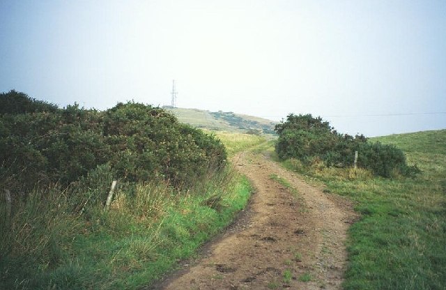
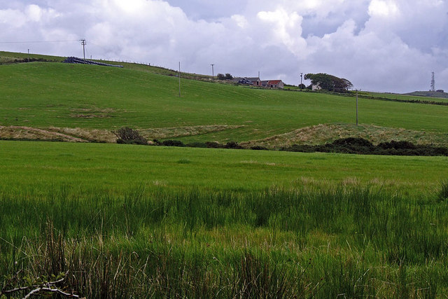
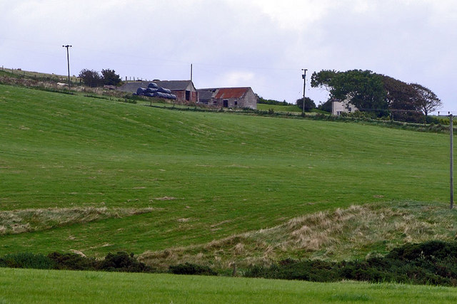
Spittal Hill boasts a distinctive conical shape, with a steep ascent leading to its summit. The hill is mostly covered in heather and grass, providing a picturesque landscape that attracts hikers, walkers, and nature enthusiasts. From the top, visitors are rewarded with panoramic views of the surrounding countryside, including the nearby Galloway Forest Park and the Solway Firth.

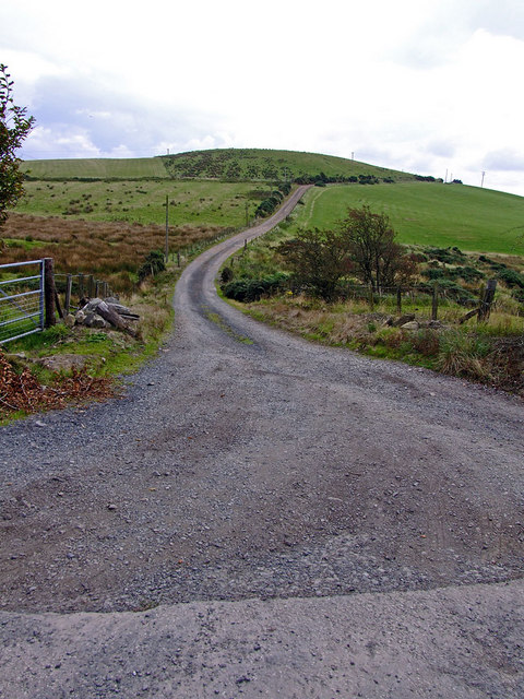
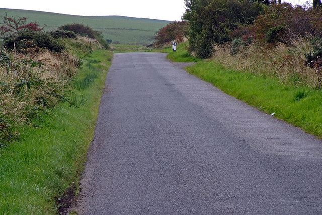
The hill is easily accessible, with well-marked trails leading to the summit. The climb can be challenging, particularly in certain sections where the terrain becomes steeper, but the breathtaking vistas make it worthwhile. Additionally, the hill is often a popular spot for paragliding and hang-gliding due to its favorable wind conditions.

Spittal Hill is also home to a wide range of flora and fauna, including various bird species that inhabit the area. The hill's diverse ecosystem supports a variety of plant life, including heather, mosses, and wildflowers.

Overall, Spittal Hill offers a rewarding outdoor experience, combining natural beauty, challenging hikes, and stunning views of the Scottish countryside. Whether it's for a leisurely stroll or a more adventurous climb, this hill is a must-visit destination for nature enthusiasts and those seeking a tranquil escape.

If you have any feedback on the listing, please let us know in the comments section below.
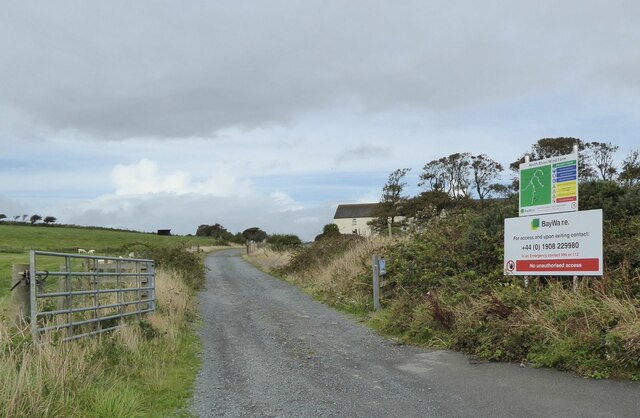
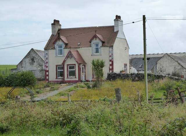
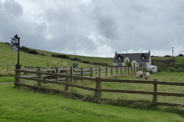
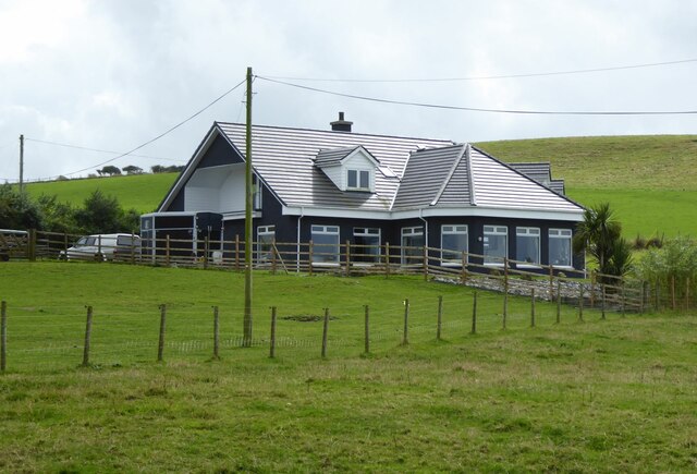
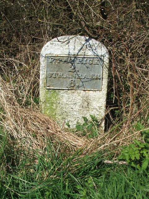
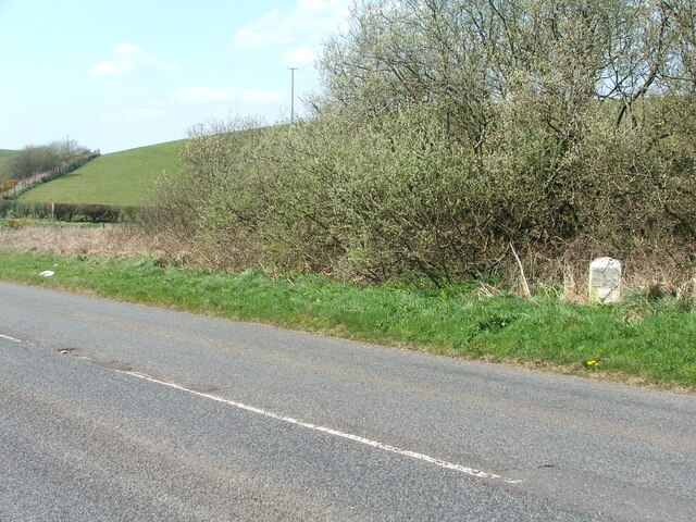
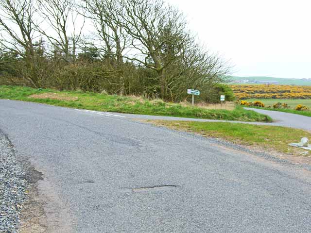
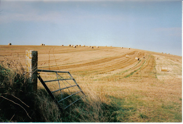
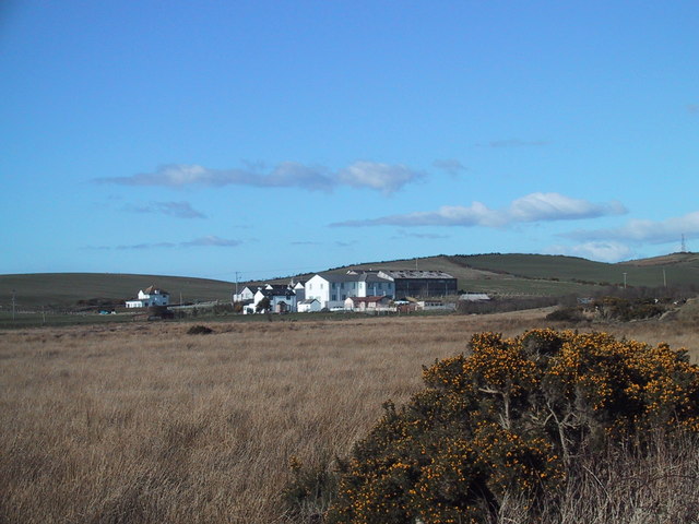
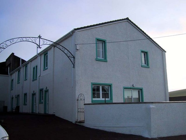
Spittal Hill Images

Images are sourced within 2km of 54.85544/-5.0635189 or Grid Reference NX0355. Thanks to Geograph Open Source API. All images are credited.

Access to the North Rhins Wind Farm On Craigenlee Fell some 2 km further north.
Enoch farm is just right of centre.
Access to the North Rhins Wind Farm
On Craigenlee Fell some 2 km further north. Enoch farm is just right of centre.
Meikle Pinminnoch Beside the A77.
Meikle Pinminnoch
Beside the A77.
Old Spittal Croft In sheep country!
Old Spittal Croft
In sheep country!
Tobarcnoc North Port o' Spittal Farm, near Portpatrick, Stranraer.
Tobarcnoc
North Port o' Spittal Farm, near Portpatrick, Stranraer.
Old milestone It doesn't look as if this milestone has received any tlc since I photographed it in 2008.   It is near the minor cross roads leading south to Lagganmore and north along the line of the Old Military Road towards Stranraer.  Another milestone for the bench mark enthusiasts.
Old milestone
It doesn't look as if this milestone has received any tlc since I photographed it in 2008. It is near the minor cross roads leading south to Lagganmore and north along the line of the Old Military Road towards Stranraer. Another milestone for the bench mark enthusiasts.
Old milestone At the back of a quite wide verge, the milestone just needs to have overgrown vegetation removed.  The hedge across the middle distance is on the lane that is a back, quiet way into Stranraer.
Old milestone
At the back of a quite wide verge, the milestone just needs to have overgrown vegetation removed. The hedge across the middle distance is on the lane that is a back, quiet way into Stranraer.
Craigenquarroch Farm track. There was a farm near here, but it has been demolished. Mast on Cairn Pat "next door"
Craigenquarroch
Farm track. There was a farm near here, but it has been demolished. Mast on Cairn Pat "next door"
Road junction on the B7042 Portpatrick to Sandhead road
Road junction on the B7042
Portpatrick to Sandhead road
Field at harvest time On the B7042, Portpatrick to Sandhead road, the combine harvester had cut this field.
Field at harvest time
On the B7042, Portpatrick to Sandhead road, the combine harvester had cut this field.
Beech hedge near Port of Spittal Late April - and still some of last year's leaves are clinging on.
Beech hedge near Port of Spittal
Late April - and still some of last year's leaves are clinging on.
Colfin Creamery
Colfin Creamery
Colfin Court
Colfin Court
Bogside farm
Bogside farm
Road to Challoch-hill Farm
Challoch-hill Farm Pinminnoch burn in the foreground
Challoch-hill Farm
Pinminnoch burn in the foreground
Challoch-hill Farm
Challoch-hill Farm
Country Road Entrance to Craigenlee farm on the right (the bollards)
Country Road
Entrance to Craigenlee farm on the right (the bollards)
Craigenlee Farm Access Road
Craigenlee Farm
Access Road
Show me another place!

Spittal Hill is located at Grid Ref: NX0355 (Lat: 54.85544, Lng: -5.0635189)

Unitary Authority: Dumfries and Galloway

Police Authority: Dumfries and Galloway

What 3 Words

///dialects.gobbling.tour. Near Stranraer, Dumfries & Galloway

Nearby Locations

Spittal Hill

Related Wikis

Colfin railway station

Colfin railway station, located in Wigtownshire, Scotland, between Portpatrick and Stranraer, was a station on the Portpatrick and Wigtownshire Joint Railway...

Rhins of Galloway

The Rhins of Galloway, otherwise known as the Rhins of Wigtownshire (or as The Rhins, also spelled The Rhinns; Scottish Gaelic: Na Rannaibh), is a hammer...

Portpatrick railway station

Portpatrick railway station was a railway station serving the village of Portpatrick, Dumfries & Galloway, Scotland. Opened in 1862 the station served...

Lochans, Dumfries and Galloway

Lochans is a small village around 2.5 miles (4.0 km) south of Stranraer, in Dumfries and Galloway in south-west Scotland. In 1971 it had a population of...

Dunskey Castle

Dunskey Castle is a ruined, 12th-century tower house or castle, located 0.5 miles (0.80 km) south of the village of Portpatrick, Rhinns, Wigtownshire,...

Dunskey

Dunskey Estate (also known as Portree Estate) is north of Portpatrick on the west coast of Scotland. The B-listed mansion dates from the start of the twentieth...

Portpatrick

Portpatrick is a village and civil parish in the historical county of Wigtownshire, Dumfries and Galloway, Scotland. It is located on the west coast of...

Garthland Castle

Garthland Castle was a castle that was located near Garthland Mains, Dumfries and Galloway, Scotland.The castle was possibly built in 1211, as a datestone...

Nearby Amenities

Located within 500m of 54.85544,-5.0635189
Power: pole
Lat/Long: 54.8516784/-5.0660079
Power: pole
Lat/Long: 54.8523922/-5.0662698
Power: pole
Lat/Long: 54.8532756/-5.0665841
Power: pole
Lat/Long: 54.8541401/-5.0669043
Power: pole
Lat/Long: 54.854684/-5.0670983
Power: pole
Lat/Long: 54.8555096/-5.0673907
Power: pole
Lat/Long: 54.8562398/-5.0676493
Power: pole
Lat/Long: 54.8557953/-5.0663086
Power: pole
Lat/Long: 54.8562029/-5.0648477
Power: pole
Lat/Long: 54.8565168/-5.0636758
Power: pole
Lat/Long: 54.8568317/-5.0625136
Power: pole
Lat/Long: 54.8571589/-5.0613263
Power: pole
Lat/Long: 54.8574984/-5.0600923
Power: pole
Lat/Long: 54.8578044/-5.058934
Power: pole
Lat/Long: 54.8556948/-5.0684525
Power: pole
Lat/Long: 54.8558556/-5.0693605
Power: pole
Lat/Long: 54.8560187/-5.0702278
Power: pole
Lat/Long: 54.8561795/-5.071128
The data included in this document is from www.openstreetmap.org. The data is made available under ODbL.

Have you been to Spittal Hill?

Leave your review of Spittal Hill below (or comments, questions and feedback).