Druim Luachrach

Hill, Mountain in Argyllshire

Scotland

Druim Luachrach

Sgurr na h-Eanchainne (trig point) Looking down to the Corran Narrows from the summit of Sgurr na h-Eanchainne.
Sgurr na h-Eanchainne (trig point) Credit: Raibeart MacAoidh

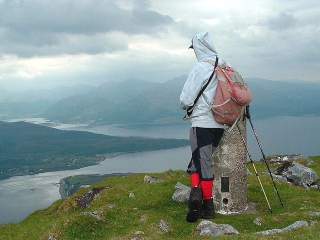
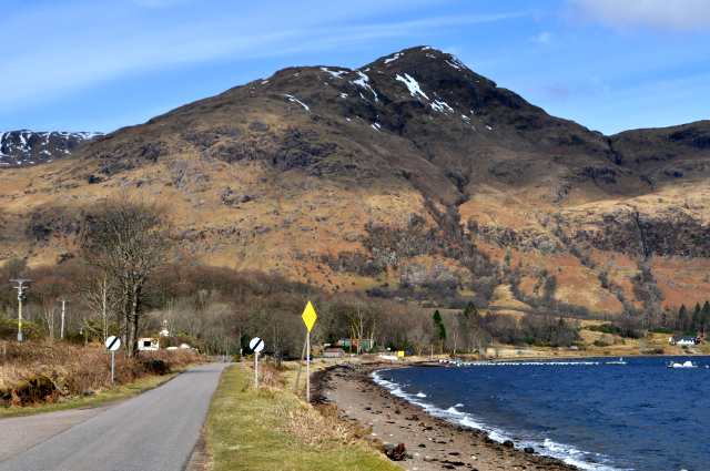
Druim Luachrach is a prominent hill located in Argyllshire, Scotland. It is situated in a remote and scenic area, surrounded by the natural beauty of the Scottish Highlands. The hill has an elevation of approximately 418 meters (1,371 feet) and offers breathtaking panoramic views of the surrounding landscape.

Druim Luachrach is known for its rugged terrain, characterized by steep slopes and rocky outcrops. The hill is mostly covered in heather and grasses, with scattered patches of woodland. Its remote location and challenging terrain make it an ideal destination for hikers and outdoor enthusiasts seeking a more adventurous experience.

The hill is part of a larger network of hills and mountains in the area, providing opportunities for extended hikes and exploration. It is also home to a diverse range of flora and fauna, including various bird species and small mammals.

Druim Luachrach offers a unique experience for visitors, allowing them to immerse themselves in the untouched beauty of the Scottish Highlands. Its isolation and ruggedness provide a sense of tranquility and escape from the hustle and bustle of everyday life.

Access to Druim Luachrach is primarily through footpaths and trails, which can be steep and challenging in places. It is advisable for visitors to come prepared with appropriate hiking gear and to check weather conditions before embarking on their journey.

Overall, Druim Luachrach is a picturesque hill in Argyllshire, offering a rewarding experience for nature lovers and outdoor enthusiasts seeking to explore the beauty of the Scottish Highlands.

If you have any feedback on the listing, please let us know in the comments section below.

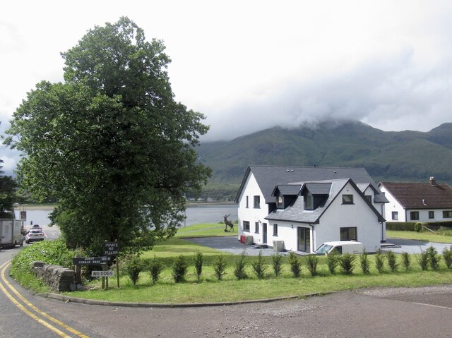
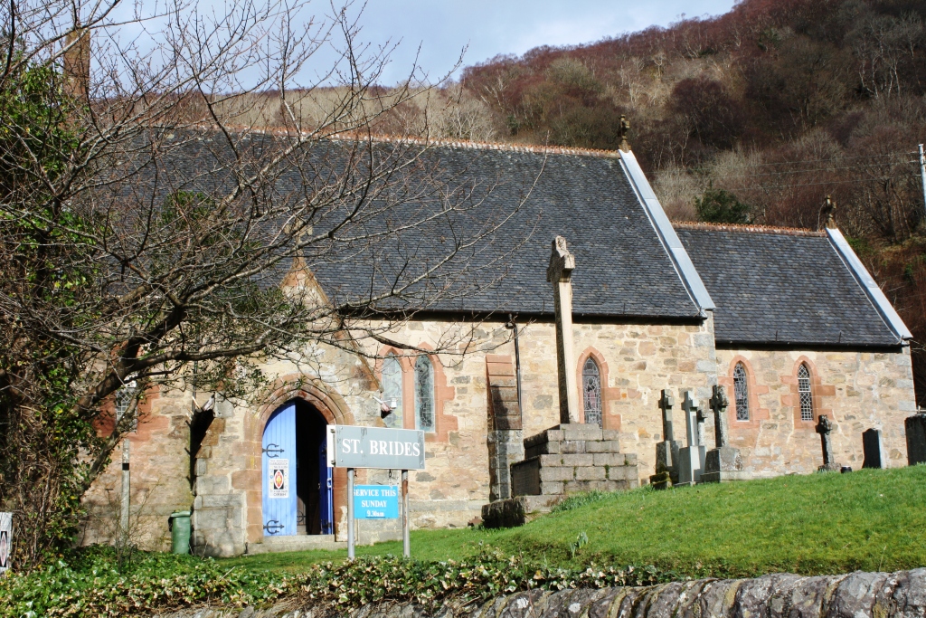
Druim Luachrach Images

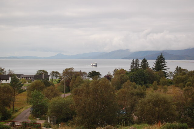
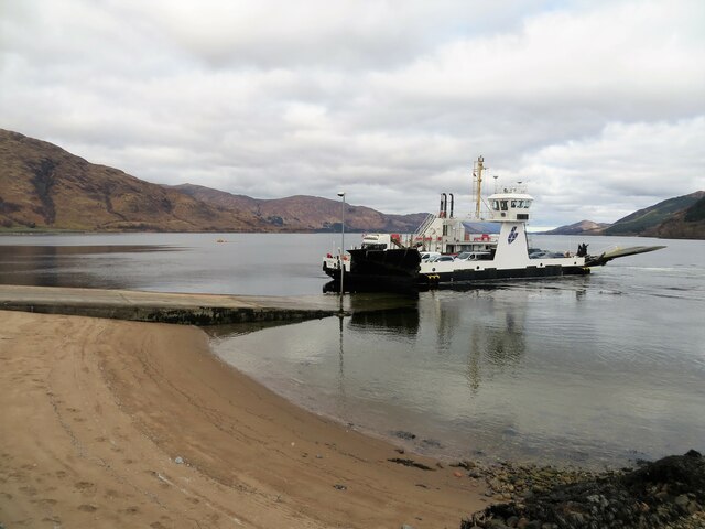
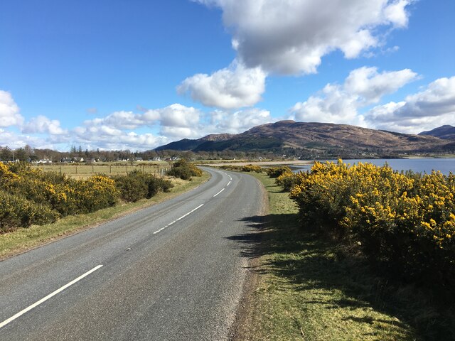
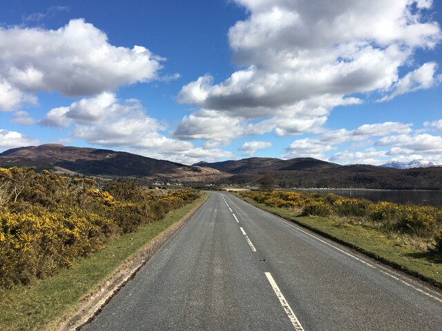
Images are sourced within 2km of 56.727668/-5.2574541 or Grid Reference NN0064. Thanks to Geograph Open Source API. All images are credited.

Sgurr na h-Eanchainne (trig point) Looking down to the Corran Narrows from the summit of Sgurr na h-Eanchainne.
Sgurr na h-Eanchainne (trig point)
Looking down to the Corran Narrows from the summit of Sgurr na h-Eanchainne.
Sgurr na h-Eanchainne Sgurr na h-Eanchainne seen from the A861 which runs from Corran to Kinlocheil.
Sgurr na h-Eanchainne
Sgurr na h-Eanchainne seen from the A861 which runs from Corran to Kinlocheil.
Very Static Caravan Quite a surprise to come across this caravan in the Ardgour woodland as at first glance there is no obvious access route.
Very Static Caravan
Quite a surprise to come across this caravan in the Ardgour woodland as at first glance there is no obvious access route.
Minor road to Clovullin Looking north-eastward.
Minor road to Clovullin
Looking north-eastward.
Minor road from Clovullin to A861 at Blar Ruatharach Looking south-westward.
Minor road from Clovullin to A861 at Blar Ruatharach
Looking south-westward.
Beinn na Cille /Sgurr na h-Eanchainne above the Corran Ferry
Trig point on Sgurr na h-Eanchainne Ben Nevis visible in the distance.
Trig point on Sgurr na h-Eanchainne
Ben Nevis visible in the distance.
Allt a' coire dhuibh
Lower slopes of Meall Breac
Slopes of Sgurr na h-Eanchainne Sheepfold visible near the shoreline of Loch Linnhe
Slopes of Sgurr na h-Eanchainne
Sheepfold visible near the shoreline of Loch Linnhe
Corran Lighthouse and shoreline at Corran Narrows
Rough grazing near Ardgour House
Loch Linnhe from Inchree Looking from Inchree over Bunree towards Loch Linnhe.
Loch Linnhe from Inchree
Looking from Inchree over Bunree towards Loch Linnhe.
Old water tank, Corran
Corran Ferry at Ardgour
A861 past Clovullin
A861 past Clovullin
A861 past Clovullin
A861 past Clovullin
New house by the ferry queue, Nether Lochaber There has been a lot of development here in the past few years.
New house by the ferry queue, Nether Lochaber
There has been a lot of development here in the past few years.
Show me another place!

Druim Luachrach is located at Grid Ref: NN0064 (Lat: 56.727668, Lng: -5.2574541)

Unitary Authority: Highland

Police Authority: Highlands and Islands

What 3 Words

///conducted.weep.thrillers. Near Glencoe, Highland

Related Wikis

Nearby Amenities

Located within 500m of 56.727668,-5.2574541
Barrier: cattle_grid
Lat/Long: 56.7297448/-5.2558577
Power: pole
Lat/Long: 56.7241985/-5.2577144
Power: pole
Lat/Long: 56.724222/-5.2588892
Power: pole
Lat/Long: 56.7247238/-5.2621807
Power: pole
Lat/Long: 56.7239586/-5.2581355
Power: pole
Lat/Long: 56.7245708/-5.2619943
Power: pole
Lat/Long: 56.7251859/-5.2524975
Power: pole
Lat/Long: 56.7248342/-5.2529937
Power: pole
Lat/Long: 56.724197/-5.2539754
Power: pole
Lat/Long: 56.7242264/-5.2558261
Power: pole
Lat/Long: 56.7237172/-5.2565557
Material: wood
Power: pole
Lat/Long: 56.7257115/-5.250785
Power: pole
Lat/Long: 56.7260531/-5.2519543
Ardgour Ales
Addr Housename: The Old Manse
Addr Postcode: PH33 7AH
Craft: brewery
Email: brewery@ArdgourAles.scot
Operator: Ardgour Ales Ltd
Phone: +44 7785 763659
Product: beer;bread;pizza
Website: https://www.ardgourales.scot/
Lat/Long: 56.7284738/-5.255166
Power: pole
Lat/Long: 56.7268724/-5.2543445
Power: pole
Lat/Long: 56.727536/-5.2549373
Power: pole
Lat/Long: 56.7281225/-5.2554718
Power: pole
Lat/Long: 56.7293833/-5.2566127
Power: pole
Lat/Long: 56.7299861/-5.2571576
Power: pole
Lat/Long: 56.7306382/-5.257746
Power: pole
Lat/Long: 56.7314752/-5.2576098
Passing Place
Lat/Long: 56.7292683/-5.2554201
The data included in this document is from www.openstreetmap.org. The data is made available under ODbL.

Have you been to Druim Luachrach?

Leave your review of Druim Luachrach below (or comments, questions and feedback).