Blair Fin Hill

Hill, Mountain in Wigtownshire

Scotland

Blair Fin Hill

Knockneen Farm, The Rhins
Knockneen Farm, The Rhins Credit: wfmillar

Blair Fin Hill is a prominent geographical feature located in Wigtownshire, Scotland. It is part of the Galloway Hills, which form a beautiful and rugged landscape in the southern part of the region. Rising to an elevation of 440 meters (1,444 feet), Blair Fin Hill offers stunning panoramic views of the surrounding countryside.

The hill is characterized by its steep slopes and rocky terrain, making it a popular destination for hikers and outdoor enthusiasts. The surrounding area is rich in natural beauty, with rolling hills, lush green fields, and picturesque valleys. The hill is covered in heather and grass, providing a vibrant and colorful landscape, particularly during the summer months.

Blair Fin Hill is also home to a variety of wildlife, including red deer, rabbits, and various bird species. It offers a tranquil and peaceful setting, ideal for nature lovers and birdwatchers. Moreover, the hill is part of the Southern Upland Way, a long-distance footpath that stretches across southern Scotland, attracting many walkers and hikers.

In addition to its natural beauty, Blair Fin Hill has historical significance as well. It is believed to have been inhabited by ancient settlers, with remnants of Iron Age hillforts and burial sites found in the vicinity. These archaeological sites add an extra layer of interest to the area, attracting history enthusiasts and researchers.

Overall, Blair Fin Hill in Wigtownshire is a captivating and diverse natural landmark, offering breathtaking views, abundant wildlife, and a glimpse into the region's rich history.

If you have any feedback on the listing, please let us know in the comments section below.

Blair Fin Hill Images

Images are sourced within 2km of 54.979347/-5.1229148 or Grid Reference NX0069. Thanks to Geograph Open Source API. All images are credited.

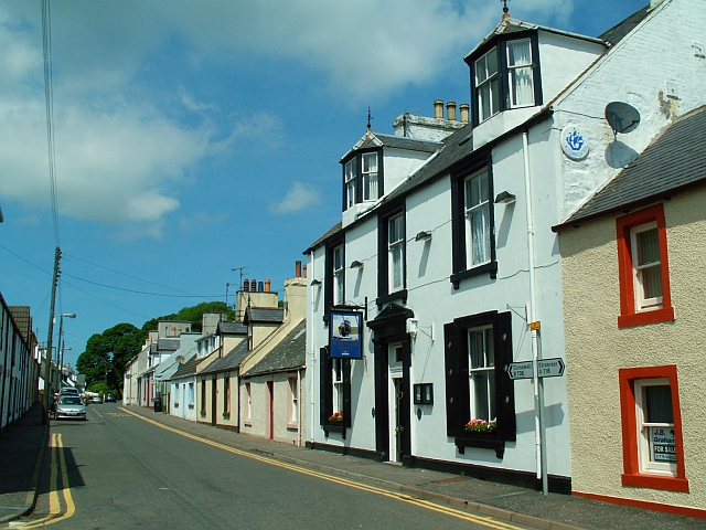
Knockneen Farm, The Rhins
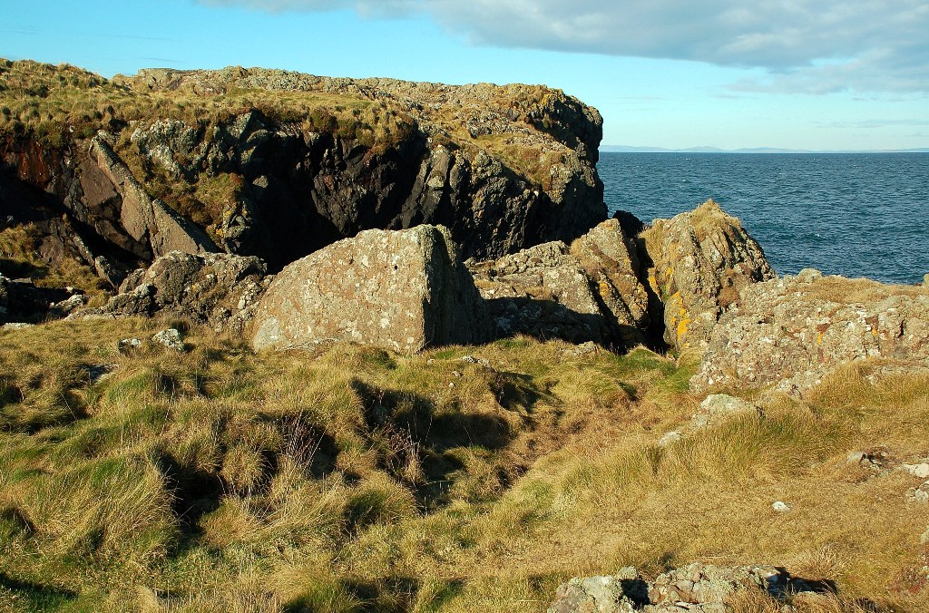
Kirkbryde, The Rhins
Cattle dogs, West Kirkbryde The houses are at North Kirkbryde.
Cattle dogs, West Kirkbryde
The houses are at North Kirkbryde.
Knockneen Farm Birds gather on the wires beside the warm wine-coloured farm house at Knockneen.
Knockneen Farm
Birds gather on the wires beside the warm wine-coloured farm house at Knockneen.
West Kirkbryde A large cluster of buildings at West Kirkbryde, on the northern slope of Brough Hill.
West Kirkbryde
A large cluster of buildings at West Kirkbryde, on the northern slope of Brough Hill.
Minor road near to Damhouse Looking north-westward.
Minor road near to Damhouse
Looking north-westward.
Minor road passing through farmland near to West Kirkbryde Looking south-westward
Minor road passing through farmland near to West Kirkbryde
Looking south-westward
Road junction on the North Rhins
Entrance to a cottage near Cairnside The building is a shed/garage and not the cottage.
Entrance to a cottage near Cairnside
The building is a shed/garage and not the cottage.
Looking over the fields towards Corsewall Lighthouse
Road in the rain on the North Rhins Knockneen is on the left. There is a junction just after the wheelie bin on the right.
Road in the rain on the North Rhins
Knockneen is on the left. There is a junction just after the wheelie bin on the right.
Rush hour on the North Rhins! The turning on the left is the entrance to West Kirkbryde.  Knockneen can just be seen in the far distance.
Rush hour on the North Rhins!
The turning on the left is the entrance to West Kirkbryde. Knockneen can just be seen in the far distance.
The entrance to Knockneen
Knockneen farm
Knockneen farm
Cairnbowie Hill Looking west with Knockneen Croft in the near distance and the Irish Sea in the far distance.
Cairnbowie Hill
Looking west with Knockneen Croft in the near distance and the Irish Sea in the far distance.
Knockneen Farm With sheep
Knockneen Farm
With sheep
Road to Corsewall Lighthouse at Knockneen
Road to Leswalt near Cairnbowie Hill
Show me another place!

Blair Fin Hill is located at Grid Ref: NX0069 (Lat: 54.979347, Lng: -5.1229148)

Unitary Authority: Dumfries and Galloway

Police Authority: Dumfries and Galloway

What 3 Words

///hoot.fortnight.miracle. Near Cairnryan, Dumfries & Galloway

Related Wikis

Ervie

Ervie is a small village in Dumfries and Galloway, Scotland, in the Rhins of Galloway, just outside Stranraer.

Kirkcolm

Kirkcolm (Scots: Kirkcoam) is a village and civil parish on the northern tip of the Rhinns of Galloway peninsula, south-west Scotland. It is in Dumfries...

RAF Wig Bay

Royal Air Force Wig Bay, or more simply RAF Wig Bay, is a former Royal Air Force station near Stranraer, Dumfries and Galloway, Scotland The following...

Corsewall Point

Corsewall Point, or Corsill Point, is a headland at the northern end of the Rhins of Galloway in Scotland. A lighthouse, Corsewall Lighthouse, was placed...

Nearby Amenities

Located within 500m of 54.979347,-5.1229148
Power: pole
Lat/Long: 54.9798518/-5.1297221
Power: pole
Lat/Long: 54.9792037/-5.1289281
Power: pole
Lat/Long: 54.9785265/-5.1280886
Power: pole
Lat/Long: 54.9778384/-5.1272839
Power: pole
Lat/Long: 54.9771719/-5.1265517
Generator Method: wind_turbine
Generator Source: wind
Generator Type: horizontal_axis
Power: generator
Lat/Long: 54.97659/-5.1211202
Power: pole
Lat/Long: 54.9764376/-5.1259428
Power: pole
Lat/Long: 54.975711/-5.1253206
Power: pole
Lat/Long: 54.9837094/-5.1229285
Power: pole
Lat/Long: 54.9833592/-5.1218862
Power: pole
Lat/Long: 54.9833201/-5.1210692
Power: pole
Lat/Long: 54.9833093/-5.1202593
Power: pole
Lat/Long: 54.9833269/-5.1193226
The data included in this document is from www.openstreetmap.org. The data is made available under ODbL.

Have you been to Blair Fin Hill?

Leave your review of Blair Fin Hill below (or comments, questions and feedback).