Brochdoo Hill
Hill, Mountain in Wigtownshire
Scotland
Brochdoo Hill
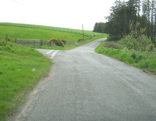
Brochdoo Hill is a prominent natural landmark located in the region of Wigtownshire, Scotland. This hill is renowned for its picturesque beauty and captivating views, attracting both locals and tourists alike. It stands at an elevation of approximately 457 meters (1,500 feet) above sea level, making it a notable point of interest for hikers and nature enthusiasts seeking an invigorating challenge.
Situated amidst the rolling hills and lush greenery of Wigtownshire, Brochdoo Hill offers breathtaking panoramic vistas of the surrounding landscape. On a clear day, visitors can enjoy sweeping views of the nearby Solway Firth and the Irish Sea, as well as the charming villages and farmland that dot the region.
The hill itself is characterized by its rugged terrain, with a mixture of grassy slopes and rocky outcrops. It is often covered in heather, adding a vibrant hue to the landscape during the blooming season. The ascent to the summit can be moderately challenging, requiring a certain level of fitness and proper hiking equipment.
Once at the top, hikers are rewarded with a sense of accomplishment and an unparalleled view that stretches for miles. The summit provides an ideal spot for picnicking, photography, or simply taking in the serenity of the natural surroundings.
Brochdoo Hill is a cherished natural gem in Wigtownshire, offering a memorable experience for visitors seeking to connect with nature and enjoy the majestic beauty of the Scottish countryside.
If you have any feedback on the listing, please let us know in the comments section below.
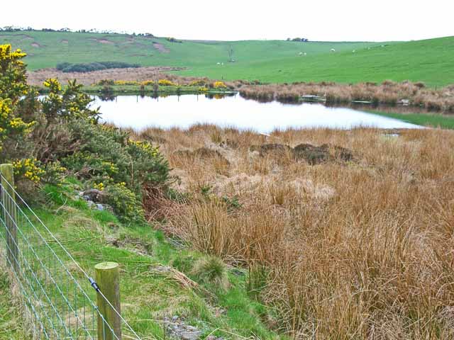
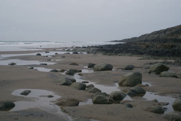
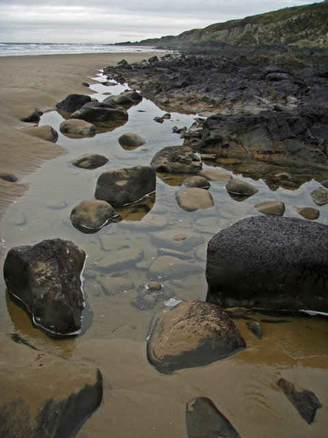
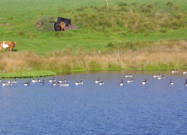
Brochdoo Hill Images
Images are sourced within 2km of 54.893122/-5.1373542 or Grid Reference NW9859. Thanks to Geograph Open Source API. All images are credited.


Brochdoo Hill is located at Grid Ref: NW9859 (Lat: 54.893122, Lng: -5.1373542)
Unitary Authority: Dumfries and Galloway
Police Authority: Dumfries and Galloway
What 3 Words
///unspoiled.wanted.bookings. Near Stranraer, Dumfries & Galloway
Nearby Locations
Related Wikis

Killantringan Lighthouse
Killantringan Lighthouse is a lighthouse located near Portpatrick in Dumfries and Galloway, south-west Scotland. The light came into operation in 1900...

MV Craigantlet
MV Craigantlet was a German-owned, Cyprus-registered container ship operated on time-charter by Cawoods Containers Ltd of Belfast. She ran aground on 26...

Galdenoch Castle
Galdenoch Castle is a tower house near the Scottish village of Leswalt in the Council Area Dumfries and Galloway . The ruin is listed as a Scheduled Monument...
Leswalt
Leswalt (Scottish Gaelic: Lios Uillt) is a village and civil parish in Dumfries and Galloway, south-west Scotland. It lies between Portpatrick and Stranraer...

Portpatrick
Portpatrick is a village and civil parish in the historical county of Wigtownshire, Dumfries and Galloway, Scotland. It is located on the west coast of...

Portpatrick railway station
Portpatrick railway station was a railway station serving the village of Portpatrick, Dumfries & Galloway, Scotland. Opened in 1862 the station served...
Dunskey
Dunskey Estate (also known as Portree Estate) is north of Portpatrick on the west coast of Scotland. The B-listed mansion dates from the start of the twentieth...

Dunskey Castle
Dunskey Castle is a ruined, 12th-century tower house or castle, located 0.5 miles (0.80 km) south of the village of Portpatrick, Rhinns, Wigtownshire,...
Nearby Amenities
Located within 500m of 54.893122,-5.1373542Have you been to Brochdoo Hill?
Leave your review of Brochdoo Hill below (or comments, questions and feedback).