Cairn Hill
Hill, Mountain in Wigtownshire
Scotland
Cairn Hill
Cairn Hill is a prominent hill located in Wigtownshire, a region in southwestern Scotland. It is part of the Galloway Hills, which make up the southernmost range of hills in the Southern Uplands. Standing at an elevation of approximately 711 meters (2,333 feet), Cairn Hill offers breathtaking views of the surrounding landscape.
This hill is a popular destination for outdoor enthusiasts, particularly hikers and climbers. Its accessibility and well-maintained trails make it an ideal location for those looking to explore the Scottish countryside. The summit of Cairn Hill provides panoramic vistas of the rolling hills, lush valleys, and nearby Loch Ryan.
The hill is predominantly made up of granite and is known for its distinctive cairn, a man-made pile of stones that marks the summit. Cairns have historically been used as navigational aids in mountainous areas. At Cairn Hill, the cairn serves as a landmark and a symbol of the hill's significance.
The surrounding area is rich in biodiversity, with a variety of flora and fauna found in the heathland and moorland habitats. Red deer, birds of prey, and other wildlife can often be spotted in the vicinity.
Cairn Hill is easily accessible by road, with parking available at the base of the hill. The hill's trails are well-marked and maintained, ensuring a safe and enjoyable experience for visitors. Whether you are a seasoned hiker or simply looking to immerse yourself in the natural beauty of Scotland, Cairn Hill is a must-visit destination in Wigtownshire.
If you have any feedback on the listing, please let us know in the comments section below.
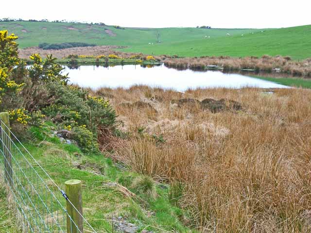
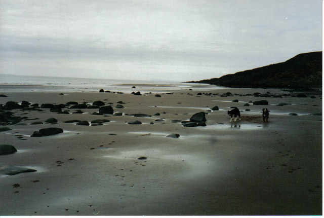
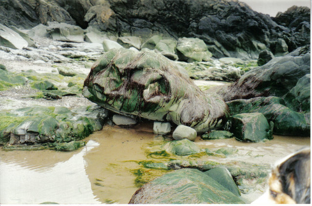
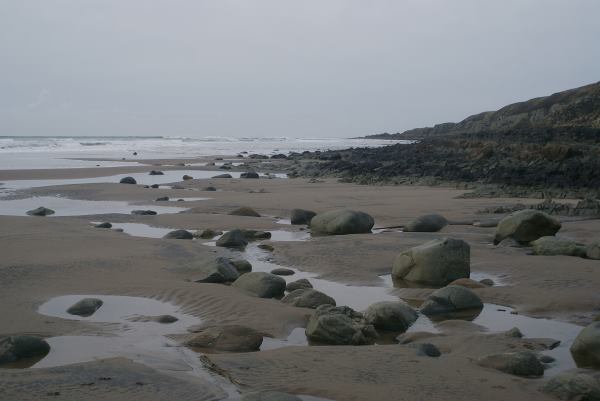
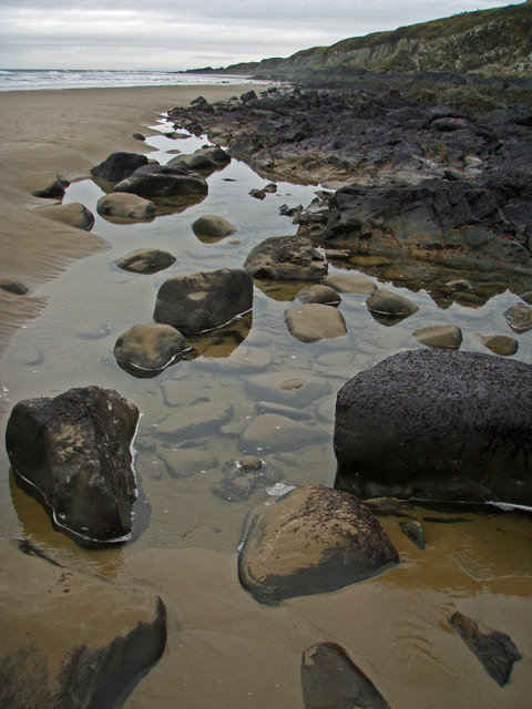
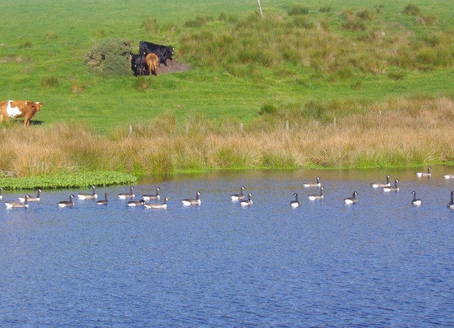
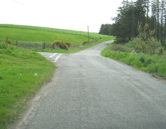
Cairn Hill Images
Images are sourced within 2km of 54.889453/-5.1456942 or Grid Reference NW9859. Thanks to Geograph Open Source API. All images are credited.


Cairn Hill is located at Grid Ref: NW9859 (Lat: 54.889453, Lng: -5.1456942)
Unitary Authority: Dumfries and Galloway
Police Authority: Dumfries and Galloway
What 3 Words
///throat.tagging.area. Near Stranraer, Dumfries & Galloway
Nearby Locations
Related Wikis

Killantringan Lighthouse
Killantringan Lighthouse is a lighthouse located near Portpatrick in Dumfries and Galloway, south-west Scotland. The light came into operation in 1900...

MV Craigantlet
MV Craigantlet was a German-owned, Cyprus-registered container ship operated on time-charter by Cawoods Containers Ltd of Belfast. She ran aground on 26...

Galdenoch Castle
Galdenoch Castle is a tower house near the Scottish village of Leswalt in the Council Area Dumfries and Galloway . The ruin is listed as a Scheduled Monument...

Portpatrick
Portpatrick is a village and civil parish in the historical county of Wigtownshire, Dumfries and Galloway, Scotland. It is located on the west coast of...

Portpatrick railway station
Portpatrick railway station was a railway station serving the village of Portpatrick, Dumfries & Galloway, Scotland. Opened in 1862 the station served...
Leswalt
Leswalt (Scottish Gaelic: Lios Uillt) is a village and civil parish in Dumfries and Galloway, south-west Scotland. It lies between Portpatrick and Stranraer...
Dunskey
Dunskey Estate (also known as Portree Estate) is north of Portpatrick on the west coast of Scotland. The B-listed mansion dates from the start of the twentieth...

Dunskey Castle
Dunskey Castle is a ruined, 12th-century tower house or castle, located 0.5 miles (0.80 km) south of the village of Portpatrick, Rhinns, Wigtownshire,...
Nearby Amenities
Located within 500m of 54.889453,-5.1456942Have you been to Cairn Hill?
Leave your review of Cairn Hill below (or comments, questions and feedback).