A' Chruach
Hill, Mountain in Argyllshire
Scotland
A' Chruach
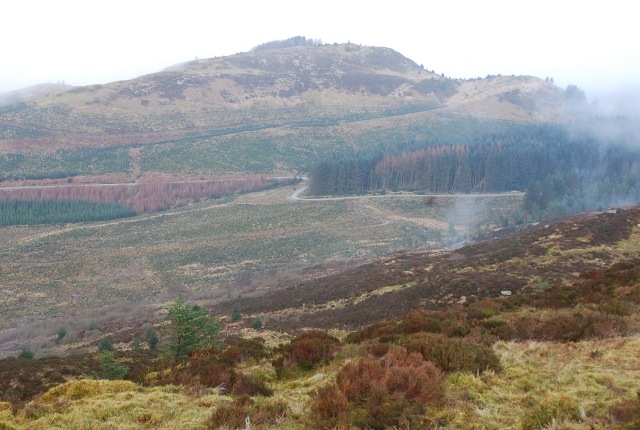
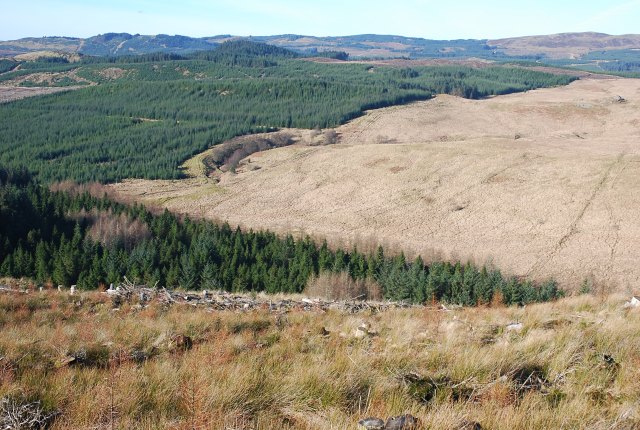
![A' Chruach Windfarm [under construction] Windfarm above Minard, Argyll under construction](https://s0.geograph.org.uk/geophotos/04/71/13/4711348_397575fa.jpg)
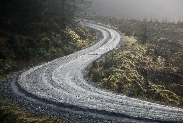
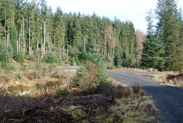
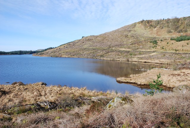
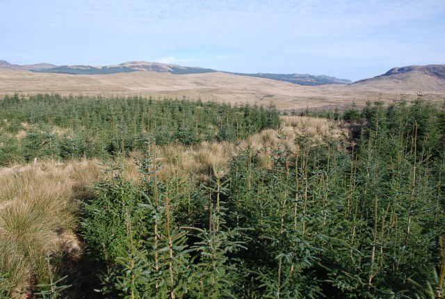
A' Chruach, located in Argyllshire, Scotland, is a prominent hill/mountain that stands at an elevation of approximately 512 meters (1,680 feet). It is part of the Scottish Highlands, which is renowned for its stunning natural beauty and rugged landscapes. A' Chruach is situated in a remote and picturesque location, offering breathtaking panoramic views of the surrounding countryside.
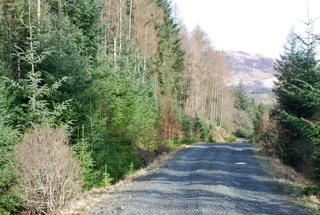
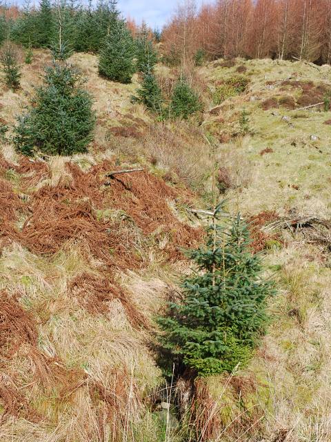
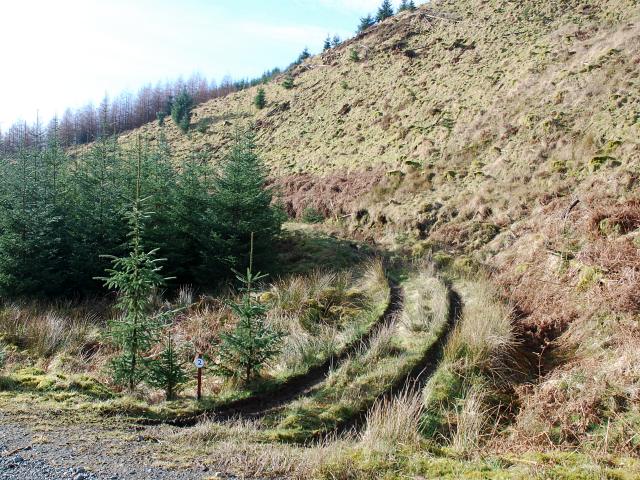
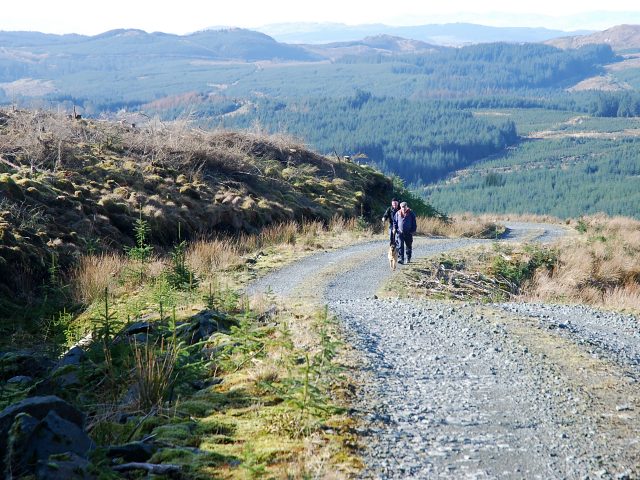
The hill/mountain is characterized by its gently sloping terrain, covered in a mixture of heather, grasses, and scattered rocky outcrops. It is a popular destination for hikers and outdoor enthusiasts, who are drawn to its challenging yet rewarding trails. The ascent to the summit can be demanding, but the awe-inspiring vistas at the top make it worth the effort.
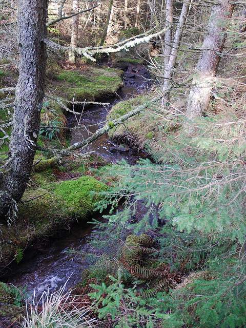
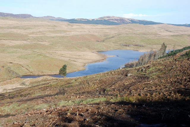
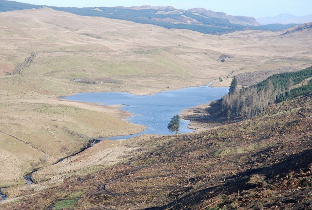
The summit of A' Chruach provides a sweeping vista of the rolling hills and glens that define the Argyllshire region. On clear days, it is possible to see as far as the nearby islands of Mull and Jura, adding to the allure of this majestic landscape. The hill/mountain also offers opportunities for wildlife spotting, with the possibility of encountering various bird species, deer, and other native animals.
A' Chruach is a place of tranquility and solitude, away from the hustle and bustle of urban life. It invites visitors to immerse themselves in the peacefulness of nature, enjoying the fresh mountain air and the sense of accomplishment that comes with conquering its summit. Whether it be for a challenging hike or simply to appreciate the beauty of the Scottish Highlands, A' Chruach promises an unforgettable experience for all who venture there.
If you have any feedback on the listing, please let us know in the comments section below.
A' Chruach Images
Images are sourced within 2km of 56.116278/-5.2987436 or Grid Reference NR9596. Thanks to Geograph Open Source API. All images are credited.
A' Chruach is located at Grid Ref: NR9596 (Lat: 56.116278, Lng: -5.2987436)
Unitary Authority: Argyll and Bute
Police Authority: Argyll and West Dunbartonshire
What 3 Words
///mocking.tragedy.continues. Near Lochgilphead, Argyll & Bute
Nearby Locations
Related Wikis

Blackmill Loch
Blackmill Loch is an impounding reservoir, in Argyll and Bute, Scotland. The loch was constructed in 1964 and is one source of freshwater for the Lochgair...

Feorlin
Feorlin is an impounding reservoir located 2 kilometres west of Minard. The loch is part of the Lochgair Hydroelectric Scheme. The rockfill dam is 4.19...

Tullochgorm
Tullochgorm is an old township parish which lies one mile south of Minard in the county of Argyll and Bute in Western Scotland and today comprises only...
Achagoyle Bay
Achagoyle Bay is coastal embayment, on a chord of 0.75 miles, on a 114° orientation, on the western coast of the longest sea loch in Scotland, Loch Fyne...
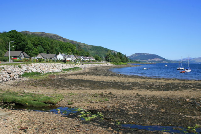
Minard, Argyll
Minard is a remote village on the western shore of Loch Fyne, situated between Inveraray and Lochgilphead. Minard is 13+1⁄2 miles (21.7 km) southwest of...
Birdfield
Birdfield is a village in Argyll and Bute, Scotland.
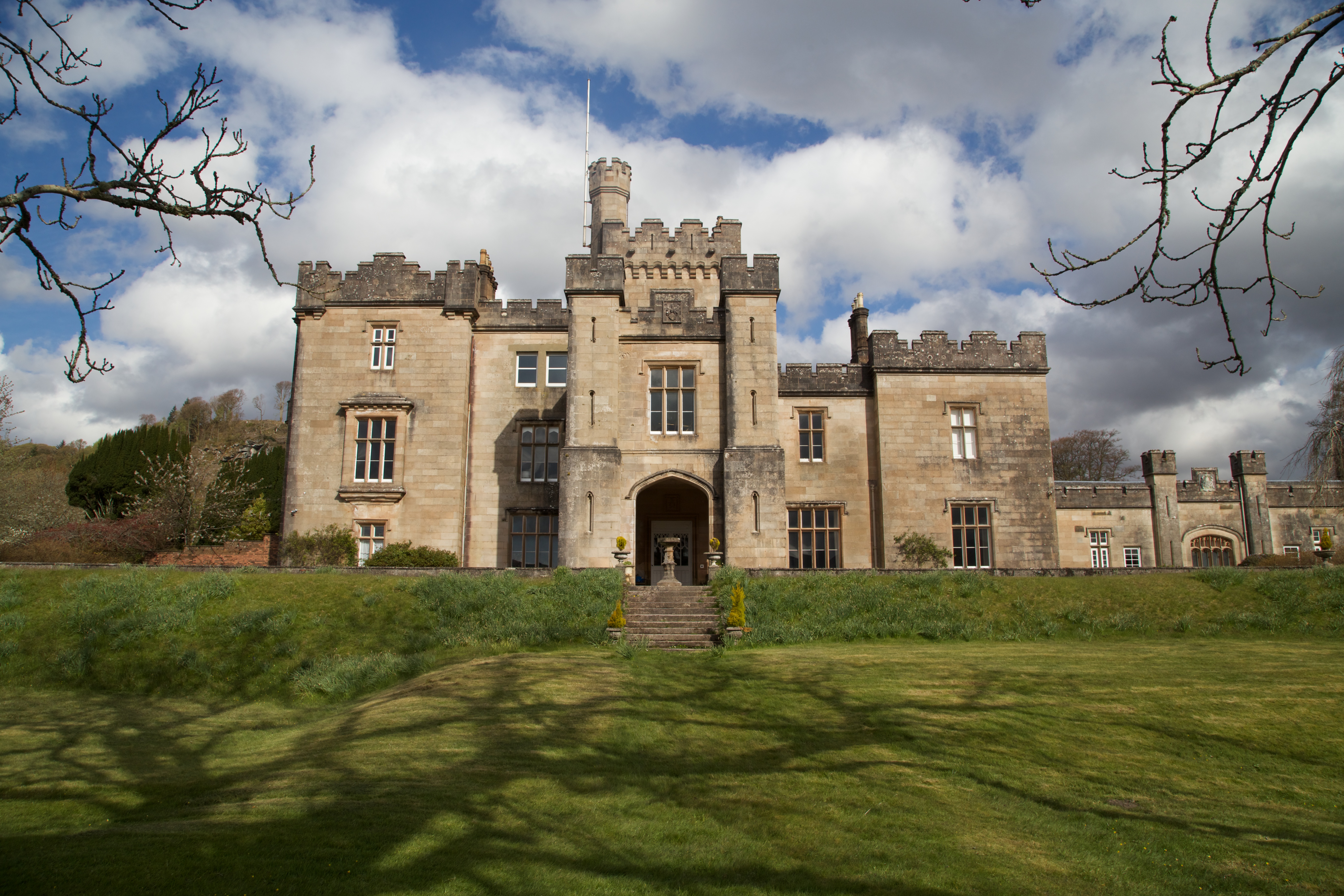
Minard Castle
Minard Castle is a 19th-century castellated mansion on the north-western shore of Loch Fyne Argyll and Bute, on the west coast of Scotland, in the parish...

Crarae Reservoir
The Crarae Reservoir is located 2.5 kilometres north west of the village of Crarae, on the west side of Loch Fyne. The concrete dam is 13.7 metres high...
Have you been to A' Chruach?
Leave your review of A' Chruach below (or comments, questions and feedback).