Meall nam Maigheach

Hill, Mountain in Argyllshire

Scotland

Meall nam Maigheach

Forestry road in Glen Garvan
Forestry road in Glen Garvan Credit: Steven Brown

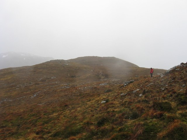
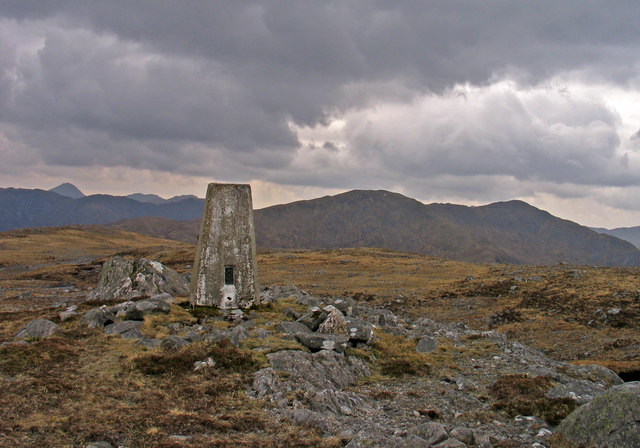
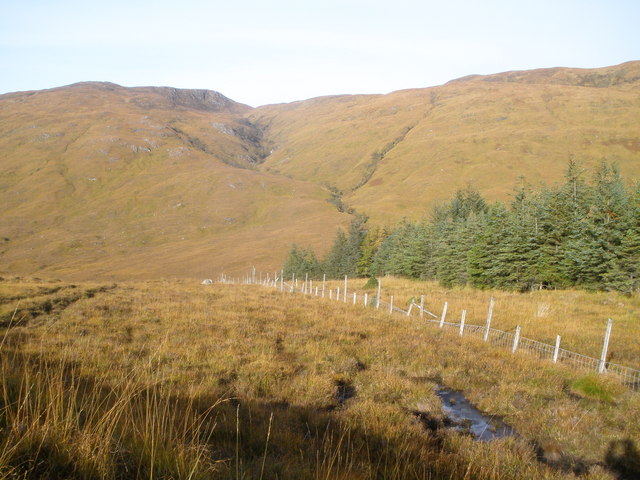
Meall nam Maigheach is a prominent hill located in the region of Argyllshire, Scotland. It stands at an elevation of approximately 763 meters (2503 feet) above sea level, making it a notable mountain in the area. The hill is situated within the Loch Lomond and The Trossachs National Park, a renowned destination for outdoor enthusiasts and nature lovers.

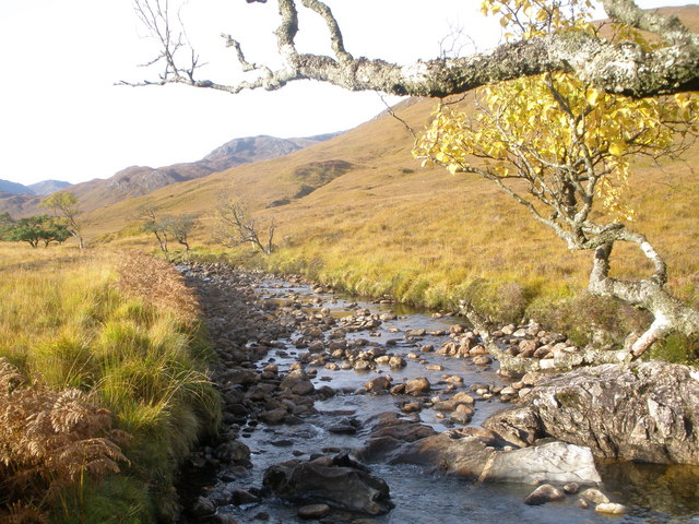
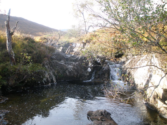
Meall nam Maigheach offers breathtaking views of the surrounding landscape, including the nearby Loch Long, a sea loch that stretches for approximately 20 miles. The hill is part of the Arrochar Alps, a mountain range known for its rugged beauty and challenging hiking trails.

The ascent to Meall nam Maigheach can be undertaken from various starting points, with the most popular route beginning at Arrochar. The climb is considered moderate to difficult, requiring a reasonable level of fitness and navigation skills. However, the effort is rewarded with stunning panoramic vistas of the surrounding mountains, lochs, and glens.

The hill is also home to a diverse range of flora and fauna, including heather, mosses, and various bird species. Wildlife enthusiasts may spot red deer, mountain hares, and even golden eagles in the area.

Meall nam Maigheach is a popular destination for hillwalkers and hikers, offering a challenging yet rewarding experience amidst the scenic beauty of the Scottish Highlands. It provides an opportunity for visitors to immerse themselves in the natural wonders of Argyllshire and appreciate the tranquility of the surrounding wilderness.

If you have any feedback on the listing, please let us know in the comments section below.

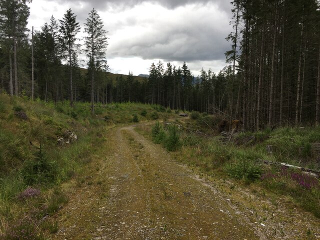
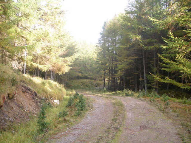
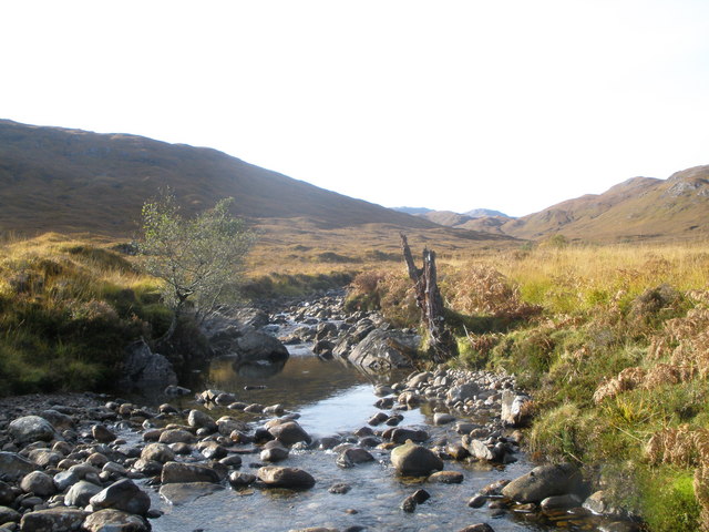
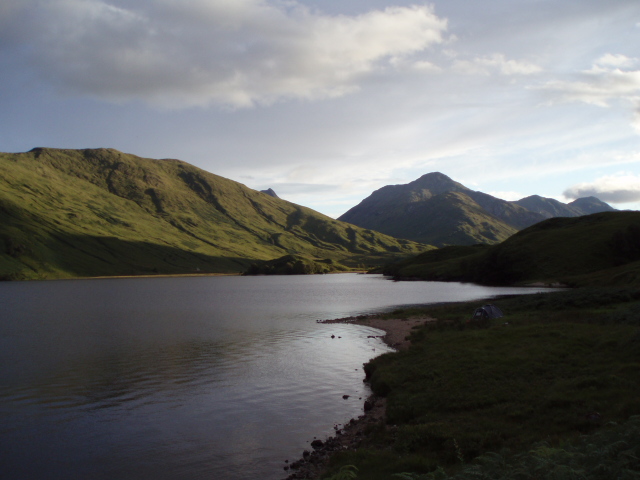
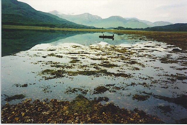
Meall nam Maigheach Images

Images are sourced within 2km of 56.835672/-5.3619064 or Grid Reference NM9576. Thanks to Geograph Open Source API. All images are credited.

Forestry road in Glen Garvan
Heavy rain on Meall nam Maigheach The photo was taken in strong winds and heavy rain. A grey day for the last day of the year, but surprisingly mild. The day before Glas Bheinn (in the background) was covered in snow, but it had all been washed away.
Heavy rain on Meall nam Maigheach
The photo was taken in strong winds and heavy rain. A grey day for the last day of the year, but surprisingly mild. The day before Glas Bheinn (in the background) was covered in snow, but it had all been washed away.
Summit area of Glas Bheinn Glas Bheinn is a Graham at 636m. The trig point in the image is recorded at 635m, the higher point being out of view, rather right from the line of sight. The twin topped hill beyond is Meall nan Damh; the two tops there also having a height difference of one metre.
Summit area of Glas Bheinn
Glas Bheinn is a Graham at 636m. The trig point in the image is recorded at 635m, the higher point being out of view, rather right from the line of sight. The twin topped hill beyond is Meall nan Damh; the two tops there also having a height difference of one metre.
Perched boulder with rock outcrops on northern slope of Glas Bheinn The view beyond the grassed slope with rocks is to Sgorr Craobh a’ Chaorainn.
Perched boulder with rock outcrops on northern slope of Glas Bheinn
The view beyond the grassed slope with rocks is to Sgorr Craobh a’ Chaorainn.
Summit of Glas Bheinn This photo is taken from the actual summit of the 636m hill, showing the summit area. The trig point is actually 1m lower.
Summit of Glas Bheinn
This photo is taken from the actual summit of the 636m hill, showing the summit area. The trig point is actually 1m lower.
Northern slopes of Glas Bheinn The northern slopes of Glas Bheinn descend into thick forest. Lochan Dubh Torr na Tairbeirt can just be seen in the forest.
Northern slopes of Glas Bheinn
The northern slopes of Glas Bheinn descend into thick forest. Lochan Dubh Torr na Tairbeirt can just be seen in the forest.
Rough heather moorland and forest There is a marked contrast between the rough open hillside and the plantation forestry.
Rough heather moorland and forest
There is a marked contrast between the rough open hillside and the plantation forestry.
Forest road in Garvan plantation
Fenceline at the forest edge Glen Garvan
Dam being constructed across the North Garvan River Several small hydro electric works going on in the area
Dam being constructed across the North Garvan River
Several small hydro electric works going on in the area
North Garvan River
North Garvan River
North Garvan River
North Garvan River
North Garvan River
North Garvan River
Allt a Mhuilaich
Allt a Mhuilaich
Forest bridge over Allt Ligheach
Small waterfall on Allt Ligheach
Fenceline at the forest edge
Recently built forest track near Drumfern
Show me another place!

Meall nam Maigheach is located at Grid Ref: NM9576 (Lat: 56.835672, Lng: -5.3619064)

Unitary Authority: Highland

Police Authority: Highlands and Islands

What 3 Words

///lost.ironclad.answers. Near Fort William, Highland

Nearby Locations

Meall nam Maigheach

Related Wikis

Dubh Lighe

Dubh Lighe is a 2-kilometre (1.2 mi) long river in Lochaber, Highland, Scotland that flows the Gleann Dubh Lighe glen (valley), before flowing into Loch...

Battle of Bun Garbhain

The Battle of Bun Garbhain was a Scottish clan battle fought in 1570, in the Scottish Highlands, between the Clan Cameron and the Clan Mackintosh. ��2...

Kinlocheil

Kinlochiel (Scottish Gaelic: Ceann Loch Iall) is a hamlet on the north west shore of Loch Eil in Lochaber, Scottish Highlands and is in the Scottish council...

Locheilside railway station

Locheilside railway station is a railway station on the northern shore of Loch Eil in the Highland Council Area of Scotland. This station is on the West...

Nearby Amenities

Located within 500m of 56.835672,-5.3619064
Meall nam Maigheach
Description: Hilltop
Natural: peak
Lat/Long: 56.8355693/-5.3617144
The data included in this document is from www.openstreetmap.org. The data is made available under ODbL.

Have you been to Meall nam Maigheach?

Leave your review of Meall nam Maigheach below (or comments, questions and feedback).