A' Bheinn Bhan
Hill, Mountain in Argyllshire
Scotland
A' Bheinn Bhan
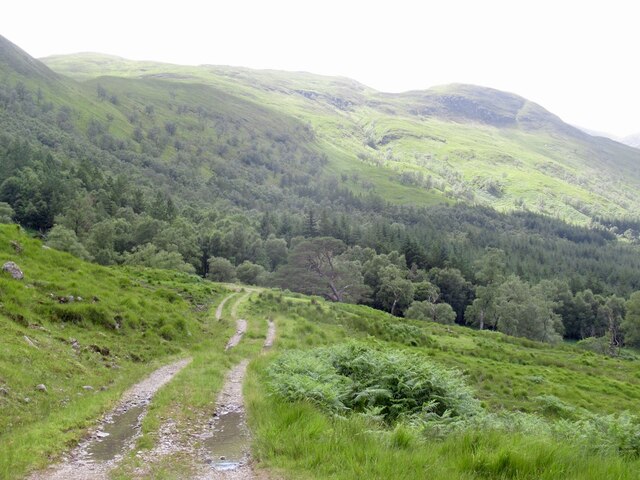
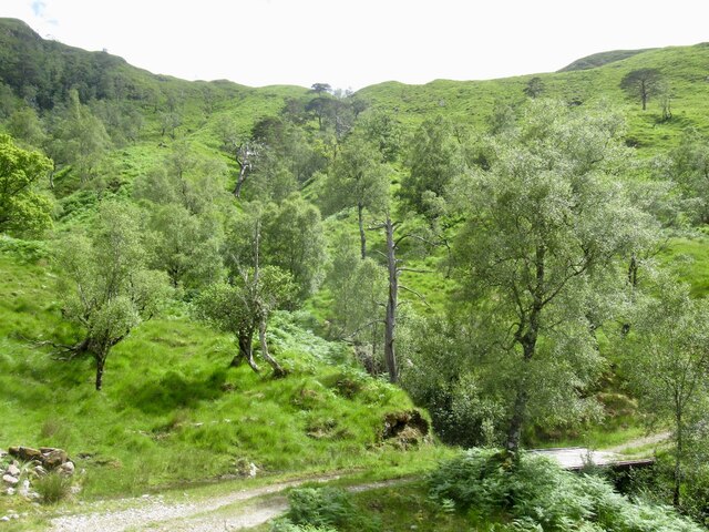
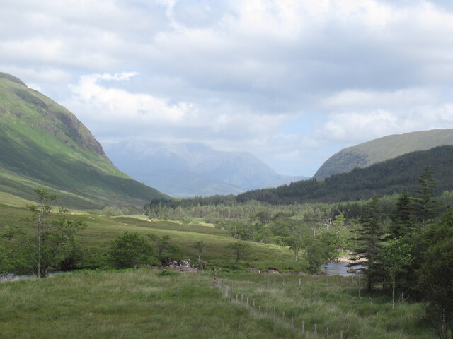
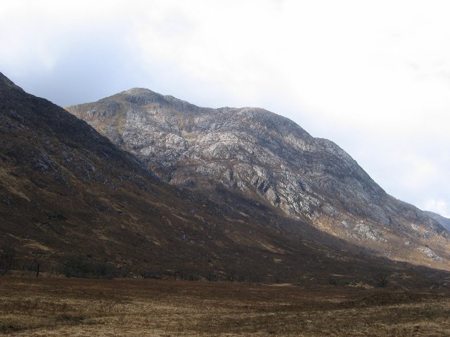
A' Bheinn Bhan, also known as An Buachaille, is a prominent hill located in Argyllshire, Scotland. It stands at an impressive height of 729 meters (2,392 feet) above sea level, making it a popular destination for hikers and climbers seeking stunning panoramic views of the surrounding area.
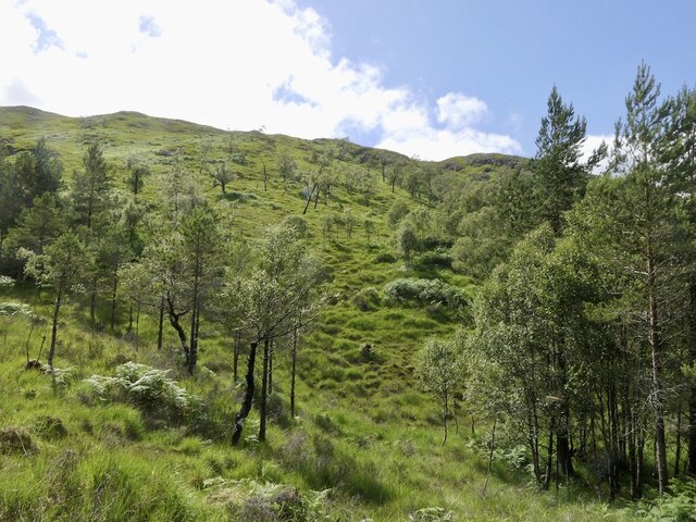
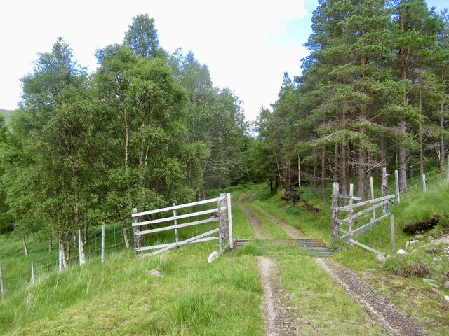
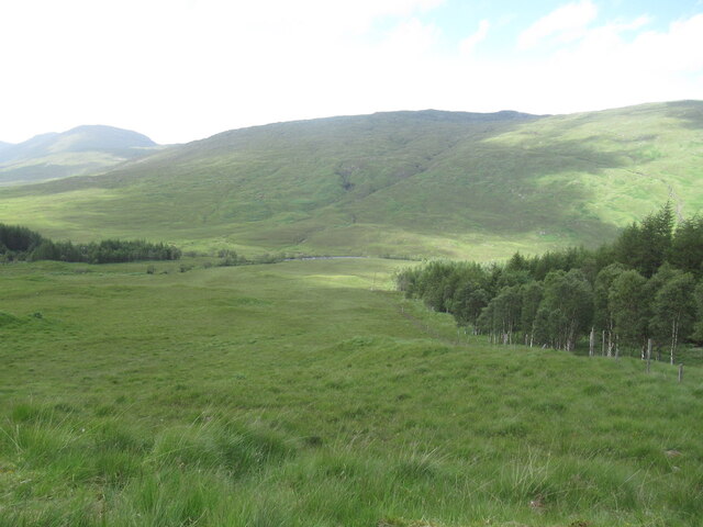
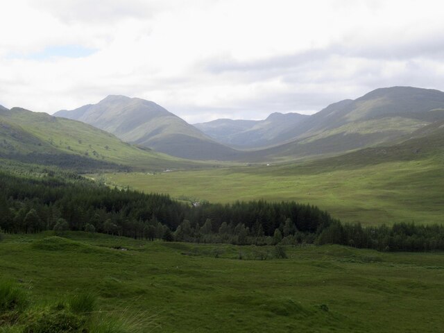
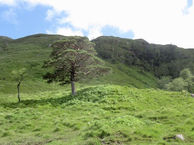
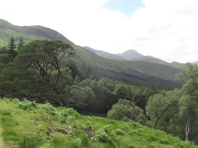
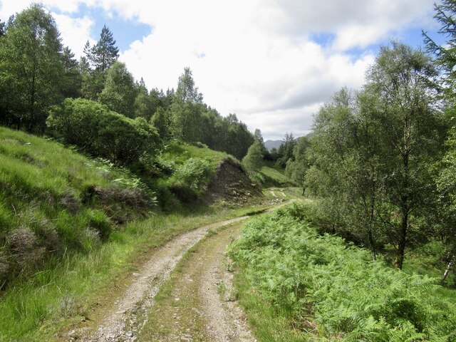
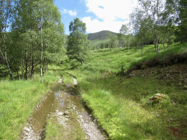
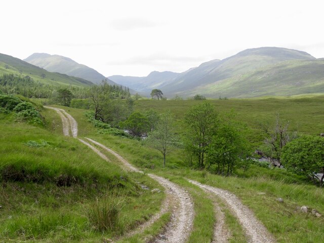
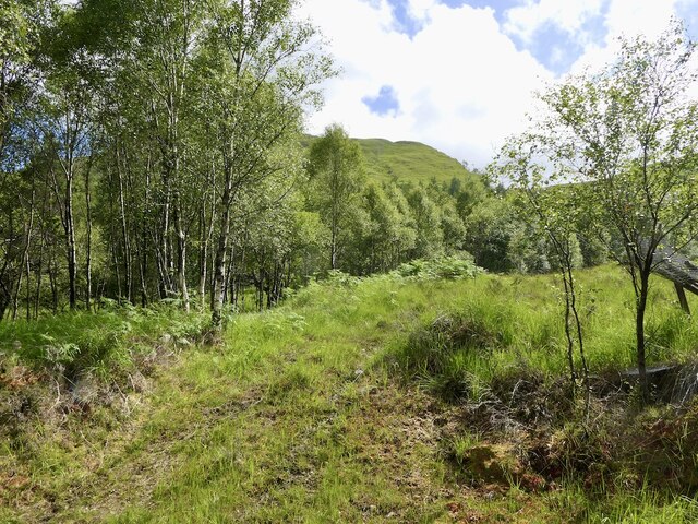
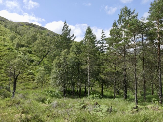
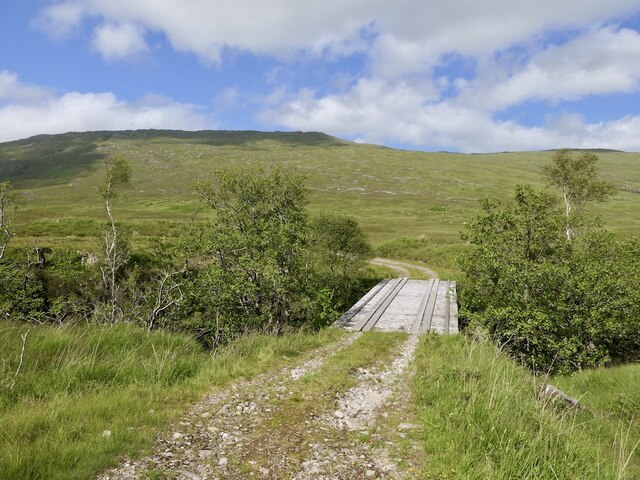
Situated in the western part of Argyllshire, A' Bheinn Bhan offers a challenging but rewarding ascent. The hill is characterized by its steep slopes and rocky terrain, which require a moderate level of physical fitness and experience to navigate. However, the effort is well worth it, as the summit provides breathtaking vistas of the neighboring peaks, glens, and the shimmering waters of Loch Leven.
The hill is part of the Glencoe mountain range and is often considered to be one of the "Munros," a list of Scottish mountains over 3,000 feet. Its distinctive shape, with a ridge leading up to the summit resembling a shepherd's crook, has made it a recognizable landmark in the area.
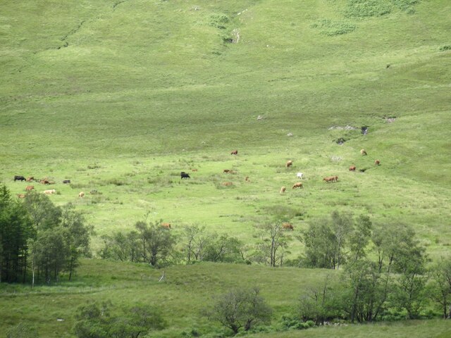
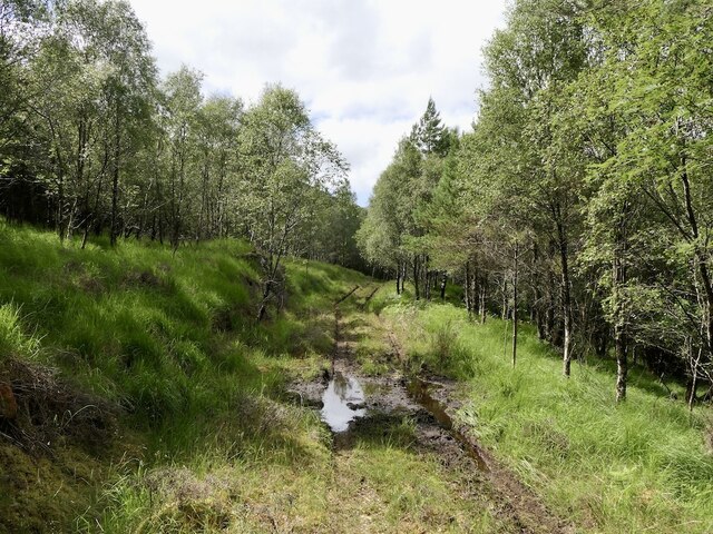
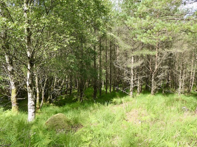
A' Bheinn Bhan is also home to a variety of flora and fauna, including heather, mosses, and the occasional glimpse of deer and mountain hares. Bird enthusiasts can spot various species such as golden eagles and ptarmigans, adding to the natural beauty and diversity of the surroundings.
For those looking to explore the Scottish Highlands, A' Bheinn Bhan offers a challenging and rewarding outdoor experience, combining stunning vistas with a sense of adventure. Whether it's climbing to the summit or simply enjoying the picturesque surroundings, this hill in Argyllshire is a haven for nature lovers and outdoor enthusiasts alike.
If you have any feedback on the listing, please let us know in the comments section below.
A' Bheinn Bhan Images
Images are sourced within 2km of 56.74487/-5.3607698 or Grid Reference NM9466. Thanks to Geograph Open Source API. All images are credited.
A' Bheinn Bhan is located at Grid Ref: NM9466 (Lat: 56.74487, Lng: -5.3607698)
Unitary Authority: Highland
Police Authority: Highlands and Islands
What 3 Words
///captions.vipers.panther. Near Fort William, Highland
Nearby Locations
Related Wikis
Ardgour
Ardgour ( ) (Scottish Gaelic: Àird Ghobhar [aːrˠʃtʲ ˈɣo.əɾ]; meaning high place of goats) is an area of the Scottish Highlands on the western shore of...

Beinn na h-Uamha
Beinn na h-Uamha (762 m) is a mountain in the Northwest Highlands of Scotland. It lies in the Ardgour area of Lochaber, west of the village of Corran....
Beinn Bheag
Beinn Bheag (736 m) is a mountain in the Northwest Highlands of Scotland. It lies in the Ardgour area of Lochaber, west of the village of Corran. The peak...

Sgùrr Dhòmhnuill
Sgurr Dhòmhnuill or Sgurr Dhòmhnaill is a mountain in western Scotland. The summit lies about ten kilometres (six miles) northeast of Strontian.

Garbh Bheinn (Ardgour)
Garbh Bheinn is a mountain in Scotland. Its name is Scots Gaelic for "rough mountain". == Ascents == There are several possible routes of ascent. All of...

Càrn na Nathrach
Carn na Nathrach (786 m) is a mountain in the Northwest Highlands of Scotland. It is located in the Ardgour area of Lochaber. A very remote mountain, it...

Corran, Lochaber
Corran (Scottish Gaelic: An Corran) is a former fishing village, situated on Corran Point, on the west side of the Corran Narrows of Loch Linnhe, in Lochaber...

Corran Ferry
The Corran Ferry crosses Loch Linnhe at the Corran Narrows, south of Fort William, Scotland. == Description == Operated by Highland Council, the Corran...
Nearby Amenities
Located within 500m of 56.74487,-5.3607698Have you been to A' Bheinn Bhan?
Leave your review of A' Bheinn Bhan below (or comments, questions and feedback).