Cnoc Reamhar

Hill, Mountain in Argyllshire

Scotland

Cnoc Reamhar

Millhouse Settlement around a crossroads in Cowal.
Millhouse Credit: Richard Webb

Cnoc Reamhar, located in Argyllshire, Scotland, is a prominent hill/mountain known for its stunning natural beauty and historical significance. Rising to an elevation of approximately 419 meters (1,375 feet), it offers breathtaking panoramic views of the surrounding landscapes and offers a rewarding hike for outdoor enthusiasts.

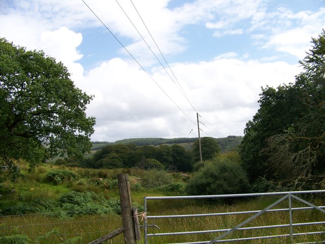
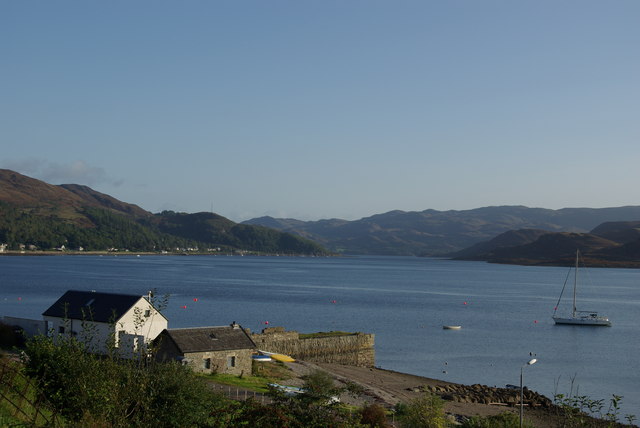
Situated in the heart of the Argyll Forest Park, Cnoc Reamhar is characterized by its rugged terrain, heather-covered slopes, and rocky outcrops. The hill/mountain is part of the larger Arrochar Alps, which comprises a range of Munros (Scottish mountains over 3,000 feet). Its location near Loch Long and Loch Lomond adds to its allure, with scenic water views adding to the picturesque setting.

The ascent of Cnoc Reamhar can be challenging but is achievable for moderately experienced hikers. The well-marked trails provide a variety of routes to the summit, allowing visitors to choose their preferred level of difficulty. Along the way, walkers can enjoy the diverse flora and fauna, including sightings of red deer, golden eagles, and various wildflowers.

Steeped in history, Cnoc Reamhar also holds archaeological significance. The hill/mountain is dotted with remnants of ancient settlements, stone circles, and burial cairns, serving as a testament to the area's rich past.

Whether exploring its natural wonders, conquering its summit, or immersing oneself in its historical heritage, Cnoc Reamhar is a captivating destination that offers a memorable experience for outdoor enthusiasts, nature lovers, and history buffs alike.

If you have any feedback on the listing, please let us know in the comments section below.
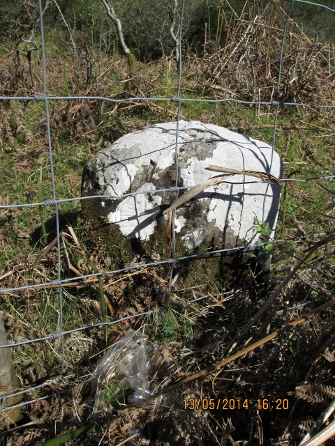
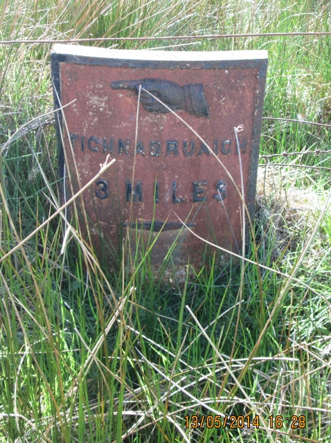
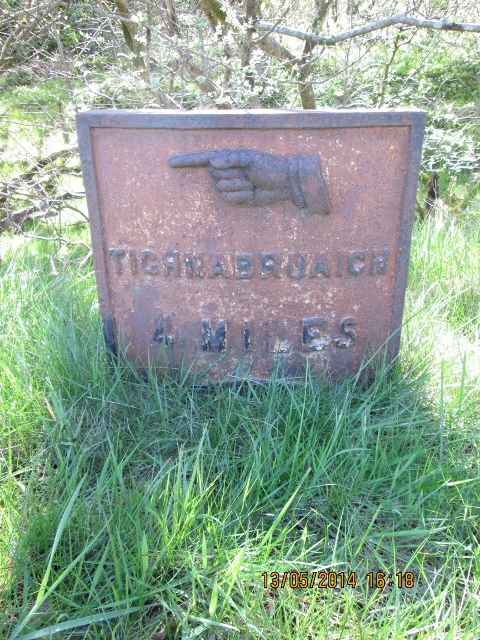
Cnoc Reamhar Images

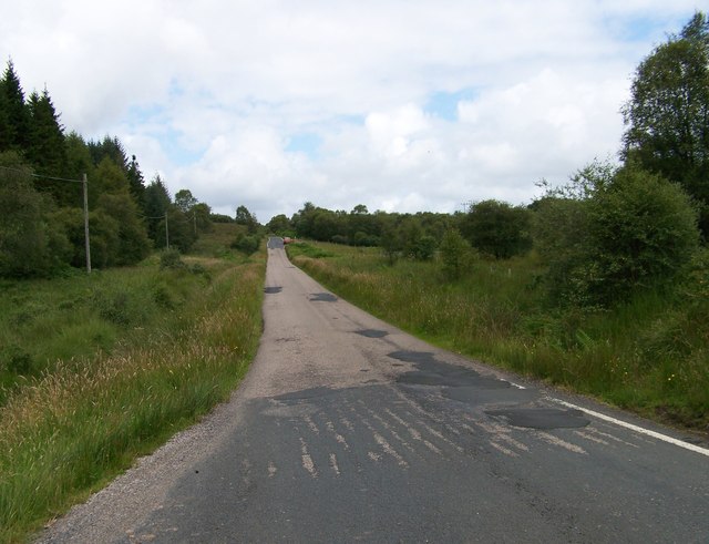
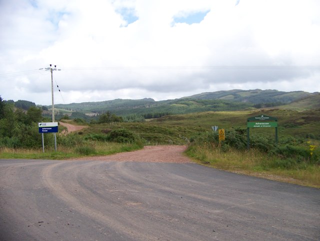
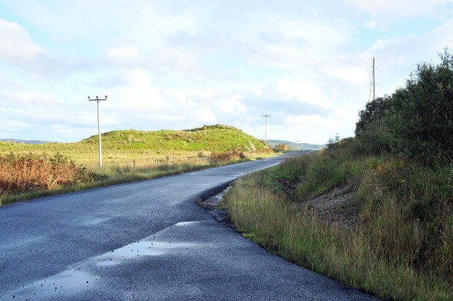
Images are sourced within 2km of 55.892829/-5.2979308 or Grid Reference NR9371. Thanks to Geograph Open Source API. All images are credited.

Millhouse Settlement around a crossroads in Cowal.
Millhouse
Settlement around a crossroads in Cowal.
Abandoned settlement of Glenan
Old Milestone by the B8000, Kilfinan parish Stone post by the B8000, in parish of Kilfinan (Argyll & Bute District), between Kilfinan and Millhouse, opposite Milepost AB_TGOF04 <a href="https://www.geograph.org.uk/photo/6095771">NR9472 : Old Milepost by the B8000. Kilfinan parish</a> behind wire fence, East side of road.

Surveyed

Milestone Society National ID: AB_TGOF04A
Old Milestone by the B8000, Kilfinan parish
Stone post by the B8000, in parish of Kilfinan (Argyll & Bute District), between Kilfinan and Millhouse, opposite Milepost AB_TGOF04 NR9472 : Old Milepost by the B8000. Kilfinan parish behind wire fence, East side of road. Surveyed Milestone Society National ID: AB_TGOF04A
Old Milepost by the B8800, Millhouse, Kilfinan parish Dunoon plate by the B8000, in parish of Kilfinan (Argyll & Bute District), North of Millhouse, North of lane to Auchoirk Cottages, West side of road.

Inscription reads:-
{<-hand}
TIGHNABRUAICH
3 MILES
{diamond}

Surveyed

Milestone Society National ID: AB_TGOF03
Old Milepost by the B8800, Millhouse, Kilfinan parish
Dunoon plate by the B8000, in parish of Kilfinan (Argyll & Bute District), North of Millhouse, North of lane to Auchoirk Cottages, West side of road. Inscription reads:- {<-hand} TIGHNABRUAICH 3 MILES {diamond} Surveyed Milestone Society National ID: AB_TGOF03
Old Milepost by the B8000. Kilfinan parish Dunoon plate by the B8000, in parish of Kilfinan (Argyll &amp;amp; Bute District), between Kilfinan &amp;amp; Millhouse, roadside verge in woods, West side of road, opposite Milestone AB_TGOF04A &lt;a href=&quot;https://www.geograph.org.uk/photo/6048000&quot;&gt;NR9472 : Old Milestone by the B8000, Kilfinan parish&lt;/a&gt;

Inscription reads:-
{&amp;lt;-pointing hand}
TIGHNABRUAICH
2 MILES
{diamond}

Surveyed

Milestone Society National ID: AB_TGOF04
Old Milepost by the B8000. Kilfinan parish
Dunoon plate by the B8000, in parish of Kilfinan (Argyll & Bute District), between Kilfinan & Millhouse, roadside verge in woods, West side of road, opposite Milestone AB_TGOF04A NR9472 : Old Milestone by the B8000, Kilfinan parish Inscription reads:- {<-pointing hand} TIGHNABRUAICH 2 MILES {diamond} Surveyed Milestone Society National ID: AB_TGOF04
Fish cages at Portavadie Fish cages belonging to the fish farm out in the bay temporarily moored by the shore. A corner of the extensive residential development and marina at Portavadie can also be seen.
Fish cages at Portavadie
Fish cages belonging to the fish farm out in the bay temporarily moored by the shore. A corner of the extensive residential development and marina at Portavadie can also be seen.
Glenan A rough undulating path runs north from Portavadie along the shore of the Glenan Forest Nature Reserve. Glenan, once a farmstead, is now an artist&amp;#039;s cabin. The hill to the left is Torr an Tuirc &lt;a href=&quot;https://www.geograph.org.uk/gridref/NR9271&quot;&gt;NR9271&lt;/a&gt;.
Glenan
A rough undulating path runs north from Portavadie along the shore of the Glenan Forest Nature Reserve. Glenan, once a farmstead, is now an artist's cabin. The hill to the left is Torr an Tuirc NR9271.
Uprooted tree, Glenan Forest Nature Reserve Amongst the jumble of rocks and trees on the rough path which runs north of Portavadie close to the shore.
Uprooted tree, Glenan Forest Nature Reserve
Amongst the jumble of rocks and trees on the rough path which runs north of Portavadie close to the shore.
Glenan Forest Nature Reserve Amongst the jumble of rocks and trees on the rough path which runs north of Portavadie close to the shore.
Glenan Forest Nature Reserve
Amongst the jumble of rocks and trees on the rough path which runs north of Portavadie close to the shore.
Asgog Castle and Loch
The path to Asgog Castle
A map for walkers going to Asgog Castle The information board is as well maintained as the path - see &lt;a href=&quot;https://www.geograph.org.uk/photo/3066485&quot;&gt;NR9470 : The path to Asgog Castle&lt;/a&gt;
A map for walkers going to Asgog Castle
The information board is as well maintained as the path - see NR9470 : The path to Asgog Castle
A map for walkers going to Asgog Castle Interesting to see the local variation in the spelling of Asgog / Ascog
A map for walkers going to Asgog Castle
Interesting to see the local variation in the spelling of Asgog / Ascog
The B8000 near Auchoirk Farm
A gap in the trees near Auchoirk Farm
The B8000 north of Auchoirk Farm
The track to Archarossan Forest
B8000 near Melldalloch
Show me another place!

Cnoc Reamhar is located at Grid Ref: NR9371 (Lat: 55.892829, Lng: -5.2979308)

Unitary Authority: Argyll and Bute

Police Authority: Argyll and West Dunbartonshire

What 3 Words

///invented.shells.cleansed. Near Tarbert, Argyll & Bute

Nearby Locations

Cnoc Reamhar

Related Wikis

Nearby Amenities

Located within 500m of 55.892829,-5.2979308
Cnoc Reamhar
Ele: 184
Natural: peak
Source: OS Open Data Street View
Lat/Long: 55.8931311/-5.2982801
Creag Isle
Ele: 182
Natural: peak
Source: OS Open Data Street View
Lat/Long: 55.8914554/-5.2932453
Tom an Uile
Ele: 222
Natural: peak
Source: OS Open Data Street View
Lat/Long: 55.8968846/-5.2949356
The data included in this document is from www.openstreetmap.org. The data is made available under ODbL.

Have you been to Cnoc Reamhar?

Leave your review of Cnoc Reamhar below (or comments, questions and feedback).