Ach Chreagach
Hill, Mountain in Argyllshire
Scotland
Ach Chreagach

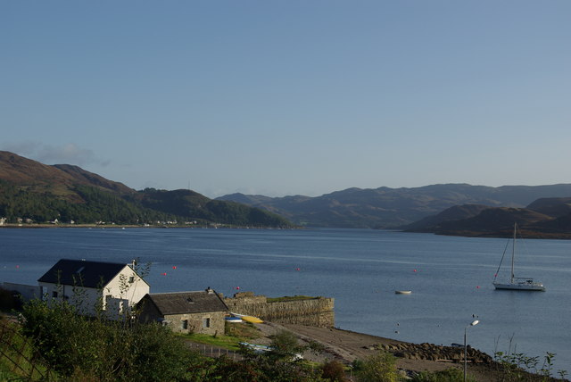
Ach Chreagach, located in Argyllshire, Scotland, is a prominent hill or mountain that stands at an elevation of approximately 755 meters (2,477 feet). It is part of the Arrochar Alps and lies within the Loch Lomond and The Trossachs National Park, offering breathtaking views of the surrounding landscape.
The hill is characterized by its rugged and rocky terrain, with steep slopes and craggy peaks that provide a challenge to climbers and hikers. Its name translates to "rocky field" in Gaelic, which aptly describes its geological makeup. The summit of Ach Chreagach offers stunning panoramic vistas of the surrounding mountains, including the famous Ben Lomond and the Arrochar Alps.
The area surrounding Ach Chreagach is abundant in wildlife, with a diverse range of flora and fauna. It is home to various bird species, including golden eagles and peregrine falcons, as well as red deer and mountain hares. The hill is also known for its picturesque cascading waterfalls and tranquil lochs, adding to its natural beauty.
Ach Chreagach attracts outdoor enthusiasts, including climbers, hikers, and nature lovers, who are drawn to its challenging trails and breathtaking scenery. It is a popular destination for those seeking adventure and an opportunity to immerse themselves in the stunning Scottish countryside.
Access to Ach Chreagach is primarily via designated hiking trails, with options for both experienced mountaineers and beginners. As with any mountainous terrain, caution and proper equipment are advised when venturing onto Ach Chreagach to ensure a safe and enjoyable experience.
If you have any feedback on the listing, please let us know in the comments section below.
Ach Chreagach Images
Images are sourced within 2km of 55.939433/-5.3220612 or Grid Reference NR9276. Thanks to Geograph Open Source API. All images are credited.


Ach Chreagach is located at Grid Ref: NR9276 (Lat: 55.939433, Lng: -5.3220612)
Unitary Authority: Argyll and Bute
Police Authority: Argyll and West Dunbartonshire
What 3 Words
///lawns.whisk.blinking. Near Tarbert, Argyll & Bute
Nearby Locations
Related Wikis

Argyll and Bute (UK Parliament constituency)
Argyll and Bute is a county constituency of the House of Commons of the Parliament of the United Kingdom. It was created for the 1983 general election...

Kilfinan
Kilfinan is a hamlet on the Cowal peninsula in Argyll and Bute, Scotland. Located on the eastern side of Loch Fyne, the hamlet is 4 miles (6.4 km) northwest...

Craignafeich Reservoirs
The Craignafeich Reservoirs (also “Craignafeoch”) are a pair of lochs in Archarossan Forest, 3 kilometres west of Tighnabruaich. The main concrete dam...

Asgog Loch
Asgog Loch is a natural freshwater loch in Argyll and Bute, Scotland. It is located about 4 kilometres (2.5 mi) southwest of Tighnabruaich, on the Cowal...

Tighnabruaich
Tighnabruaich; ( ; Scottish Gaelic: Taigh na Bruaich) is a village on the Cowal peninsula, on the western arm of the Kyles of Bute in Argyll and Bute,...

Tighnabruaich Lifeboat Station
Tighnabruaich Lifeboat Station is located in the Kyles of Bute. It has been in use for nearly 40 years. The inshore lifeboat carries out rescues mainly...

Millhouse, Argyll
Millhouse is a village in the parish of Kilfinan. Located on the B8000 inland from Kames in the east and Portavadie in the west, on the Cowal peninsula...
Kames, Argyll
Kames (Scottish Gaelic: Camas nam Muclach) is a small village on the Cowal peninsula in Argyll and Bute, Scotland, on the shore of the west arm of the...
Nearby Amenities
Located within 500m of 55.939433,-5.3220612Have you been to Ach Chreagach?
Leave your review of Ach Chreagach below (or comments, questions and feedback).