Airds Hill
Hill, Mountain in Argyllshire
Scotland
Airds Hill
Airds Hill, located in Argyllshire, Scotland, is a prominent hill/mountain rising to an elevation of approximately 609 meters (1,998 feet). It is situated in a remote and picturesque part of the Argyll and Bute region, offering breathtaking panoramic views of the surrounding landscape.
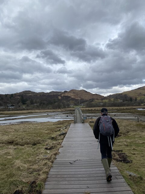
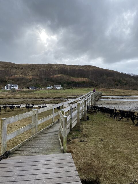
The hill is a popular destination for hikers and outdoor enthusiasts, thanks to its relatively accessible trails and stunning natural beauty. Its ascent is considered moderate, making it suitable for both experienced climbers and those looking for a more leisurely hike. The hill features a well-marked path, allowing visitors to navigate its slopes with ease.
The vegetation on Airds Hill is predominantly heather and grass, with scattered patches of woodland along its lower slopes. The hill is home to a diverse range of flora and fauna, including various species of birds, small mammals, and insects. During the summer months, the hillside bursts into color with wildflowers dotting the landscape.
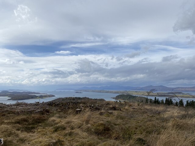
The summit of Airds Hill offers commanding views of the surrounding area, including Loch Awe and the nearby mountains. On a clear day, it is possible to see as far as the Inner Hebrides and the Isle of Mull. The hill's summit provides a perfect vantage point for photographers, who can capture breathtaking sunrises and sunsets over the rugged Scottish terrain.
Airds Hill is a place where one can immerse themselves in the tranquility of nature, enjoying the solitude and beauty of the Scottish Highlands. It offers a rewarding experience for those seeking outdoor adventure and a chance to connect with the natural wonders of Argyllshire.
If you have any feedback on the listing, please let us know in the comments section below.
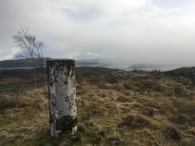
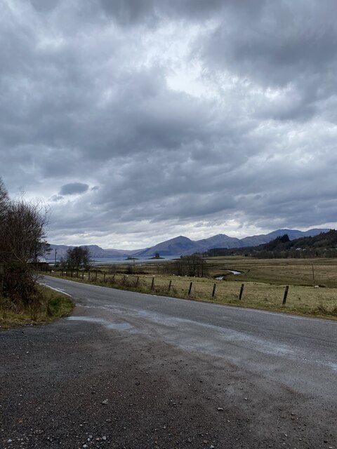
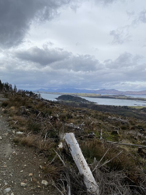
Airds Hill Images
Images are sourced within 2km of 56.558854/-5.3762991 or Grid Reference NM9245. Thanks to Geograph Open Source API. All images are credited.


Airds Hill is located at Grid Ref: NM9245 (Lat: 56.558854, Lng: -5.3762991)
Unitary Authority: Argyll and Bute
Police Authority: Argyll and West Dunbartonshire
What 3 Words
///airstrip.secures.catapult. Near Oban, Argyll & Bute
Nearby Locations
Related Wikis

Appin
Appin (Scottish Gaelic: An Apainn) is a coastal district of the Scottish West Highlands bounded to the west by Loch Linnhe, to the south by Loch Creran...
Appin railway station
Appin was a railway station in Scotland, close to the Sound of Shuna on the east shore of Loch Laiche - an arm of Loch Linnhe, Portnacroish, Appin in Argyll...

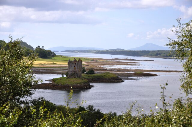
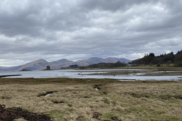
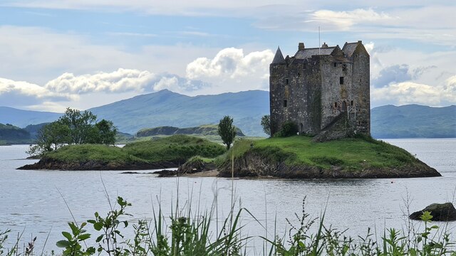
Castle Stalker
Castle Stalker (Scottish Gaelic: Caisteal an Stalcaire) is a four-storey tower house or keep in the Scottish county Argyll. It is set on a tidal islet...

Airds Bay
Airds Bay is a small bay south-west of Port Appin on the west coast of Scotland. It is located at the south-western end of Appin in Argyll and Bute, forming...

Shuna Island
Shuna Island or simply Shuna is an island in Loch Linnhe, offshore from Appin, in Argyll and Bute, Scotland. The island is approximately two kilometres...

Eriska
Eriska is a flat tidal island at the entrance to Loch Creran on the west coast of Scotland. Privately owned by the Buchanan-Smiths from 1973 until August...

Loch Creran
Loch Creran is a sea loch in Argyll, on the west coast of Scotland. It is about 10 kilometres (6.2 mi) long from its head at Invercreran to its mouth on...

Creagan railway station
Creagan was a railway station located on the north shore of Loch Creran 1⁄4 mile (400 m) north of the Creagan Inn in Argyll and Bute. It was on the Ballachulish...
Nearby Amenities
Located within 500m of 56.558854,-5.3762991Have you been to Airds Hill?
Leave your review of Airds Hill below (or comments, questions and feedback).