Cnoc an Amais
Hill, Mountain in Argyllshire
Scotland
Cnoc an Amais

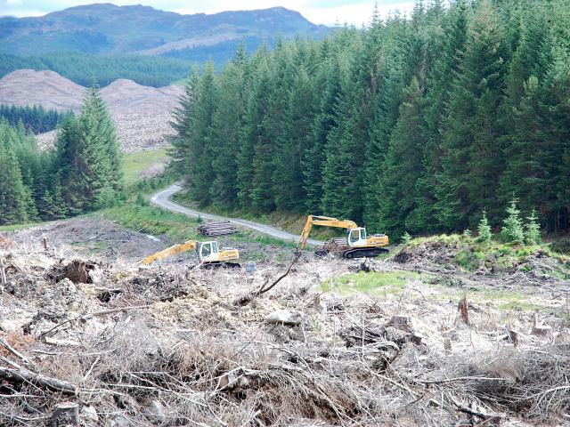
Cnoc an Amais, located in Argyllshire, Scotland, is a prominent hill/mountain that stands at an elevation of approximately 678 meters (2,224 feet). It is situated in the picturesque region of Argyll and Bute, known for its stunning landscapes and natural beauty. The hill/mountain is part of the Beinn Bhuidhe range and offers breathtaking views of the surrounding area.
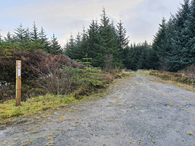
Cnoc an Amais is a popular destination among hikers and outdoor enthusiasts due to its accessibility and stunning vistas. The ascent to the summit can be challenging, with steep and rocky terrain, but the rewarding panoramic views at the top make it all worthwhile. On a clear day, one can see the vast expanse of Loch Fyne to the east, the rugged peaks of the Arrochar Alps to the north, and the rolling hills and glens of Argyll to the west.
The hill/mountain is home to a diverse range of flora and fauna, including various species of birds, mammals, and plant life. Nature lovers can spot golden eagles soaring overhead or encounter red deer grazing in the surrounding hillsides.
Cnoc an Amais is also steeped in history, with ancient ruins and archaeological sites scattered throughout its slopes. It serves as a reminder of the rich cultural heritage of the region, with traces of past civilizations and settlements.
Overall, Cnoc an Amais is a captivating and majestic hill/mountain, offering a perfect blend of natural beauty, outdoor adventure, and historical significance. It is a must-visit destination for those seeking an immersive experience in the scenic wonders of Argyllshire.
If you have any feedback on the listing, please let us know in the comments section below.
Cnoc an Amais Images
Images are sourced within 2km of 56.068775/-5.3810371 or Grid Reference NR8991. Thanks to Geograph Open Source API. All images are credited.


Cnoc an Amais is located at Grid Ref: NR8991 (Lat: 56.068775, Lng: -5.3810371)
Unitary Authority: Argyll and Bute
Police Authority: Argyll and West Dunbartonshire
What 3 Words
///cafe.trapdoor.coats. Near Lochgilphead, Argyll & Bute
Nearby Locations
Related Wikis
Lochgair
Lochgair (Scottish Gaelic: An Loch Geàrr) is a village in Argyll and Bute, Scotland. It lies on the coast of Loch Gair, a small inlet on the west of Loch...
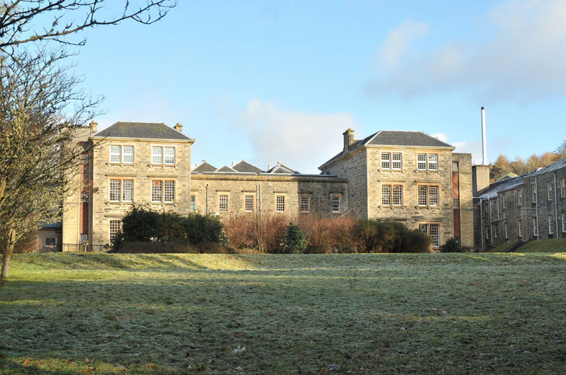
Argyll and Bute Hospital
Argyll and Bute Hospital was a mental health facility in Lochgilphead, Scotland. The original building (sometimes referred to as the West House) is a Grade...

Asknish
Asknish (Scottish Gaelic: Aisginis) is a village in Argyll and Bute, Scotland. The hamlet is made up of a large detached house (Asknish house) and farm...

Mid Argyll Community Hospital
Mid Argyll Community Hospital is a community hospital in Blarbuie Road, Lochgilphead, Scotland. It is managed by NHS Highland. == History == The facility...

Lochgilphead High School
Lochgilphead High School in Lochgilphead, Argyll is a secondary school servicing around 500-700 students. A new campus has been built in 2007 incorporating...

Lochgilphead
Lochgilphead (; Scottish Gaelic: Ceann Loch Gilb [kʲʰan̪ˠ l̪ˠɔx ˈkʲilip]) is a town and former burgh in Argyll and Bute, Scotland, with a population of...
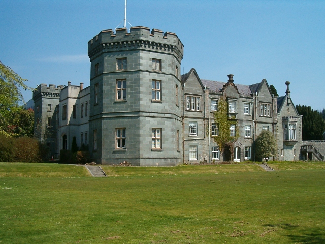
Kilmory Castle
Kilmory Castle, also known as Kilmory House, is a large 19th century house located just to the south of Lochgilphead, in old county Argyll, on the west...
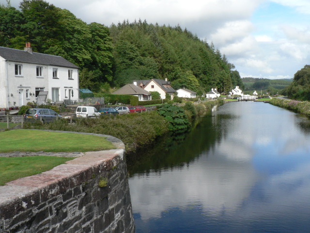
Crinan Canal
The Crinan Canal between Crinan and Ardrishaig in Argyll and Bute in the west of Scotland is operated by Scottish Canals. The canal, which opened in 1801...
Have you been to Cnoc an Amais?
Leave your review of Cnoc an Amais below (or comments, questions and feedback).