Cruach Bhuidhe
Hill, Mountain in Argyllshire
Scotland
Cruach Bhuidhe

Cruach Bhuidhe is a prominent hill/mountain located in Argyllshire, Scotland. Standing at an elevation of 635 meters (2,083 feet), it is part of the Arrochar Alps range and offers stunning panoramic views of the surrounding landscape.
Situated within the Loch Lomond and The Trossachs National Park, Cruach Bhuidhe is a popular destination for hikers, mountaineers, and nature enthusiasts. Its accessible location, just a short drive from the town of Arrochar, makes it a favored spot for outdoor activities.
The ascent to the summit of Cruach Bhuidhe is a moderately challenging hike, traversing through diverse terrains ranging from moorland to rocky outcrops. The route is well-defined and marked, allowing visitors to navigate the mountain safely.
At the top, hikers are rewarded with breathtaking views of Loch Long and the Arrochar Alps, including iconic peaks like The Cobbler and Beinn Ime. On a clear day, it is even possible to spot the distant peaks of the Isle of Arran.
Cruach Bhuidhe is also known for its rich biodiversity. The area surrounding the mountain is home to a variety of flora and fauna, including heather, mosses, and rare alpine plants. Birdwatchers can often spot golden eagles, peregrine falcons, and other avian species soaring above the rugged landscape.
With its natural beauty and recreational opportunities, Cruach Bhuidhe is a must-visit destination for those seeking outdoor adventures in the picturesque region of Argyllshire.
If you have any feedback on the listing, please let us know in the comments section below.
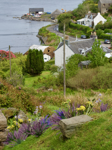
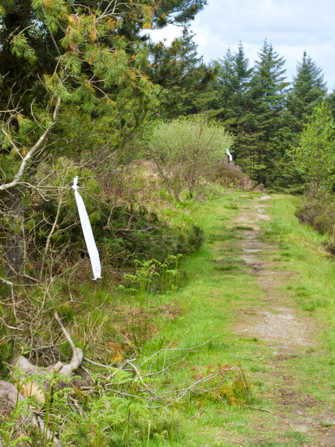
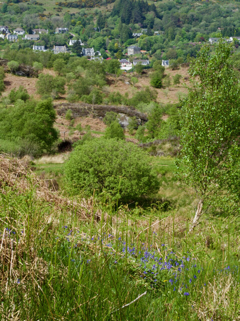
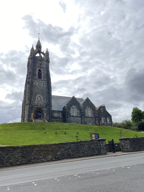
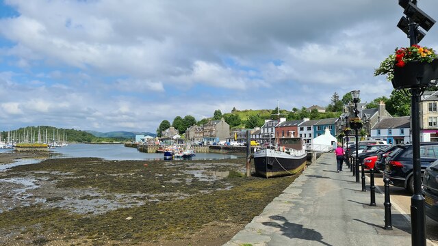
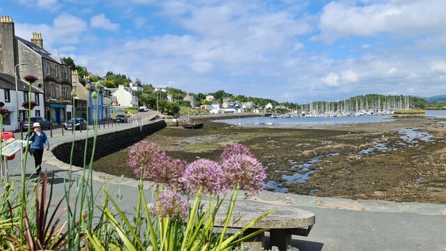
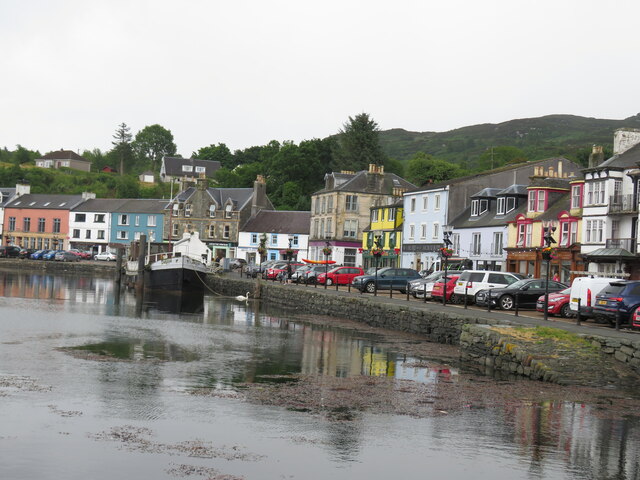
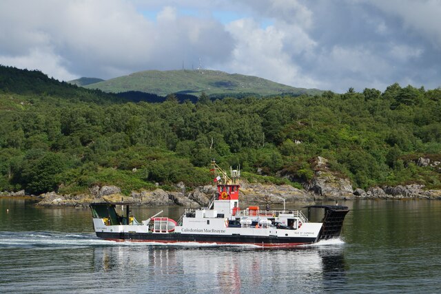
Cruach Bhuidhe Images
Images are sourced within 2km of 55.85734/-5.4026738 or Grid Reference NR8767. Thanks to Geograph Open Source API. All images are credited.

Cruach Bhuidhe is located at Grid Ref: NR8767 (Lat: 55.85734, Lng: -5.4026738)
Unitary Authority: Argyll and Bute
Police Authority: Argyll and West Dunbartonshire
What 3 Words
///playback.scramble.start. Near Tarbert, Argyll & Bute
Nearby Locations
Related Wikis

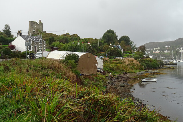
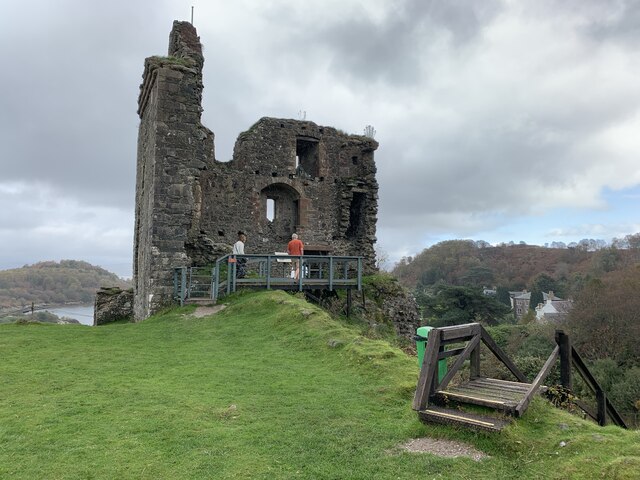
Tarbert Castle
Tarbert Castle is located on the southern shore of East Loch Tarbert, at Tarbert, Argyll, Scotland, at the north end of Kintyre. Tarbert Castle was a strategic...
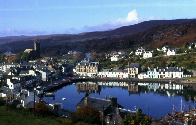
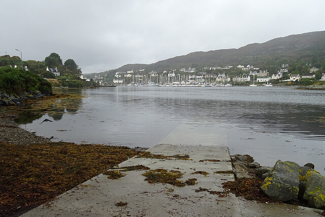
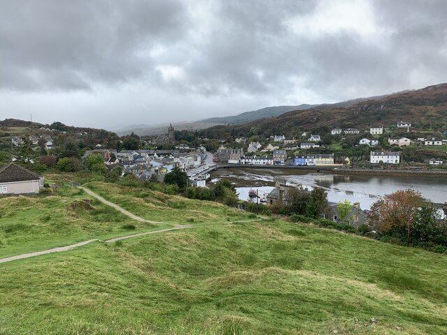
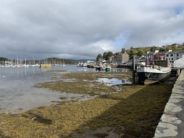
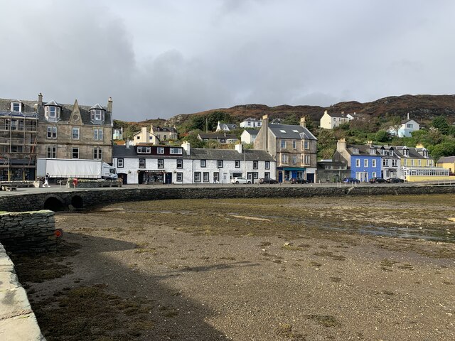
Tarbert, Kintyre
Tarbert (Scottish Gaelic: An Tairbeart, pronounced [ən̪ˠ ˈt̪ʰaɾʲapərˠʃt̪], or Tairbeart Loch Fìne to distinguish it from other places of the same name...

East Loch Tarbert, Argyll
East Loch Tarbert, Argyll is a small sea loch on the eastern side of the Kintyre peninsula in Scotland. It is a part of the much larger Loch Fyne. The...
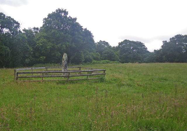
Avinagillan standing stone
The Avinagillan standing stone is a prehistoric menhir on the Kintyre Peninsula of Scotland. The stone is near the hamlet of Avinagillan. == See also... ==

Barmore Island
Barmore Island is a peninsula in Scotland located on the east of Knapdale, in the council area of Argyll and Bute. It is 1 and a half miles north from...

Stonefield Castle
Stonefield Castle is a Scottish baronial manor house near the village of Stonefield, north of Tarbert, Argyll & Bute, Scotland. It was built on the site...

Sgat Mòr and Sgat Beag
Sgat Mòr and Sgat Beag (Scottish Gaelic pronunciation: [s̪kat̪ moːrˠ ɪs̪ s̪kat̪ pɛk]; English: The Skate Islands or, less commonly, Skate Island and Wee...

Portavadie
Portavadie (Scottish Gaelic: Port a' Mhadaidh) is a village on the shores of Loch Fyne in Argyll and Bute, Scotland.The Portavadie complex was built in...
Nearby Amenities
Located within 500m of 55.85734,-5.4026738Have you been to Cruach Bhuidhe?
Leave your review of Cruach Bhuidhe below (or comments, questions and feedback).