High Hatton
Settlement in Shropshire
England
High Hatton
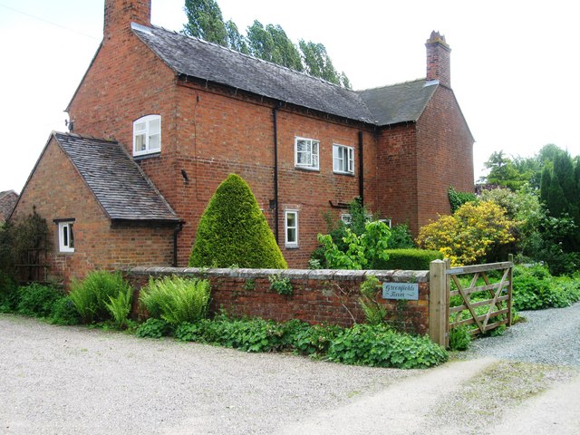
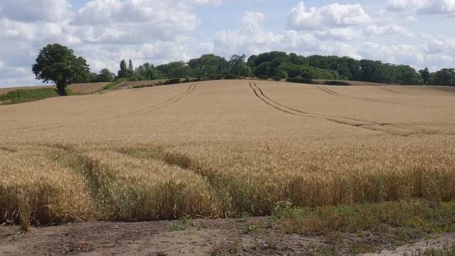
High Hatton is a charming village located in the county of Shropshire, England. Situated approximately 6 miles north of the vibrant town of Shrewsbury, High Hatton offers a tranquil and picturesque setting amidst the stunning Shropshire countryside.
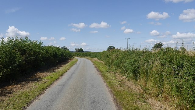
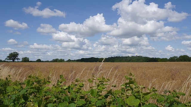
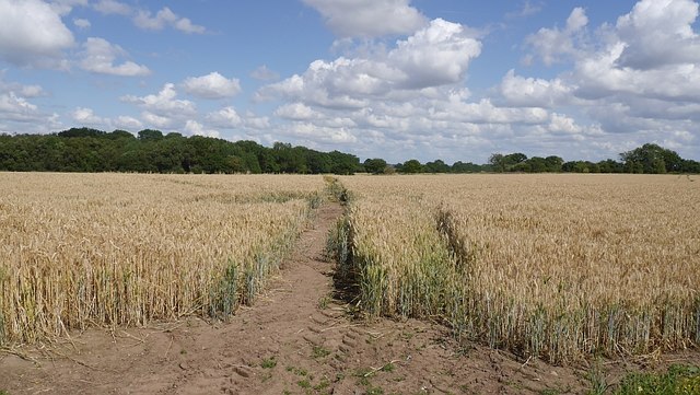
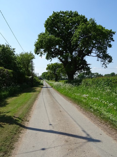
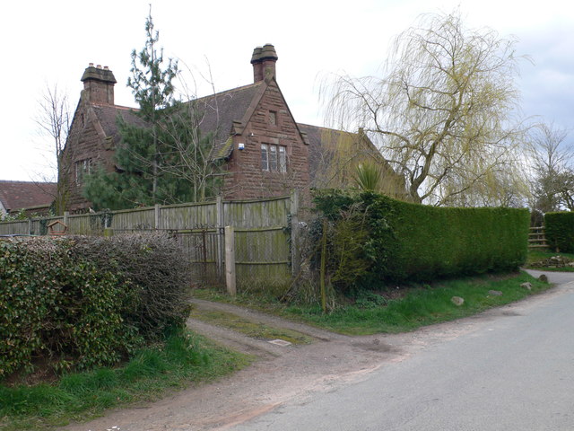
The village is characterized by its quaint stone cottages, rolling hills, and green pastures. The community is small yet close-knit, with a population of around 300 residents. High Hatton's rich history can be traced back to medieval times, and remnants of this heritage can still be seen in the form of historic buildings and landmarks scattered throughout the area.
One of the village's notable features is St. Michael's Church, a beautiful 12th-century structure that stands as a testament to the village's religious significance. The church boasts intricate architectural details and holds regular services for the local community.
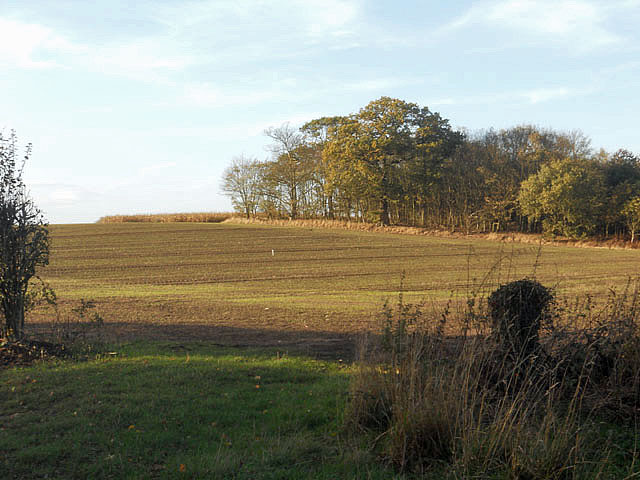
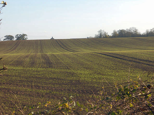
High Hatton is also surrounded by natural beauty, making it an ideal location for outdoor enthusiasts. The nearby Shropshire Hills provide ample opportunities for hiking, cycling, and exploring the countryside. The village is also within close proximity to the River Severn, offering fishing and boating activities.
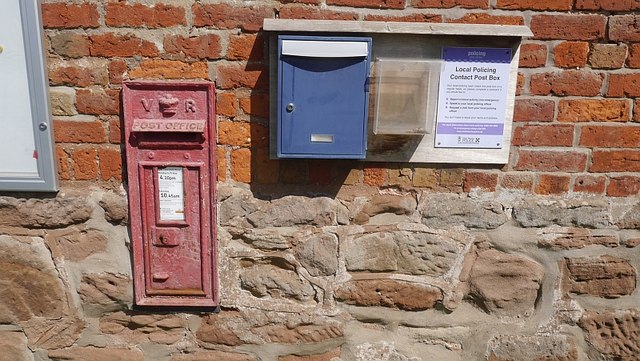
Although small in size, High Hatton boasts a strong sense of community spirit. Residents can enjoy a range of amenities, including a village hall that hosts various events and gatherings throughout the year. Additionally, the village is well-connected to neighboring towns and cities, with good transport links for those looking to explore further afield.
Overall, High Hatton offers a serene and idyllic setting for those seeking a peaceful countryside retreat while still being within reach of urban amenities.
If you have any feedback on the listing, please let us know in the comments section below.
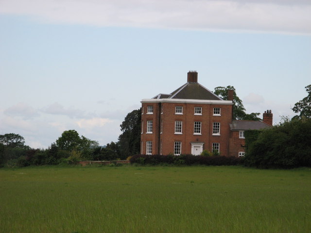
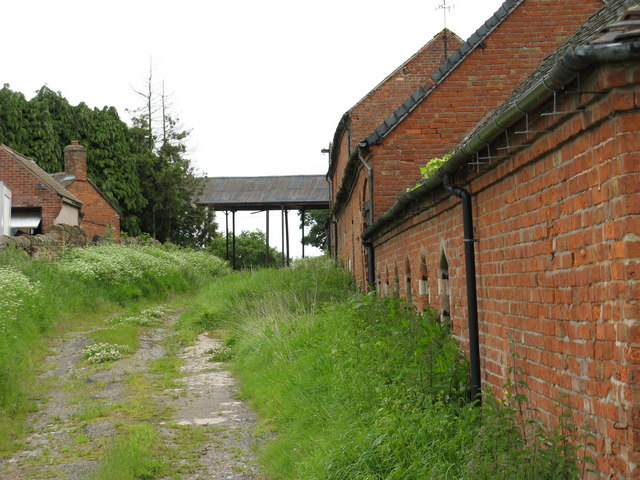
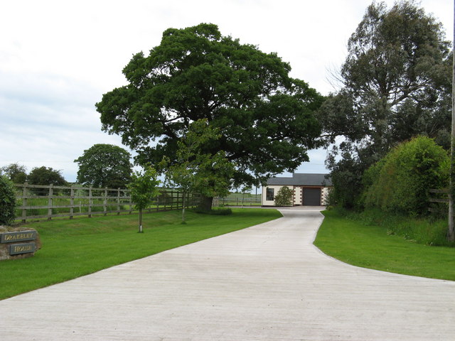
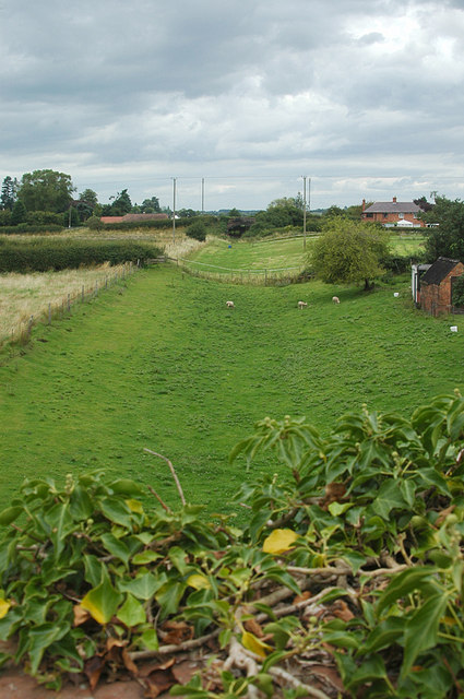
High Hatton Images
Images are sourced within 2km of 52.818924/-2.582389 or Grid Reference SJ6024. Thanks to Geograph Open Source API. All images are credited.


High Hatton is located at Grid Ref: SJ6024 (Lat: 52.818924, Lng: -2.582389)
Unitary Authority: Shropshire
Police Authority: West Mercia
What 3 Words
///plump.vines.supposes. Near Stoke upon Tern, Shropshire
Nearby Locations
Related Wikis

Peplow railway station
Peplow railway station was a station in Peplow, Shropshire, England. The station was opened in 1867 and closed in 1963. The track has been infilled to...
Wellington and Drayton Railway
The Wellington and Drayton Railway was a standard gauge line in Central England which carried through freight and local passenger traffic until closure...

Peplow
Peplow is a hamlet in Shropshire, England. It is part of the civil parish of Hodnet, a larger village to the north. The hamlets of Bowling Green and Radmoor...

Peplow Hall
Peplow Hall is a privately-owned 11,635 square feet (1,080.9 m2), 18th-century mansion at Peplow, near Hodnet, Shropshire. It is a Grade II* listed building...
Nearby Amenities
Located within 500m of 52.818924,-2.582389Have you been to High Hatton?
Leave your review of High Hatton below (or comments, questions and feedback).