Hatton, High
Settlement in Shropshire
England
Hatton, High
The requested URL returned error: 429 Too Many Requests
If you have any feedback on the listing, please let us know in the comments section below.
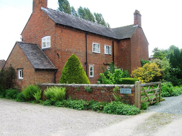
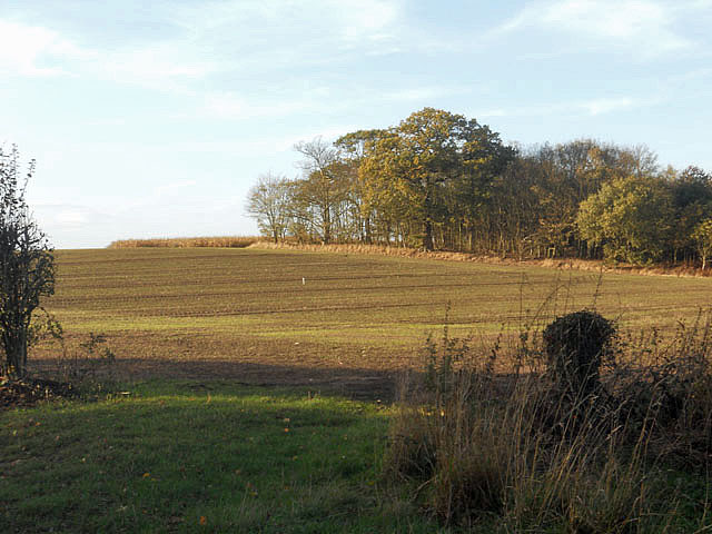
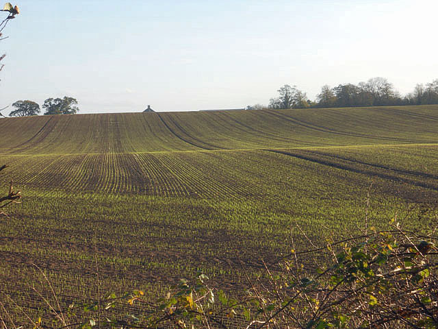
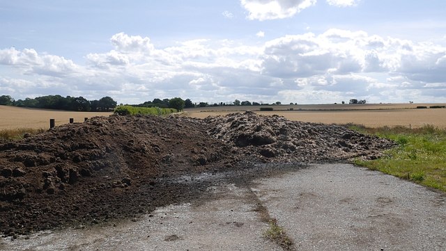
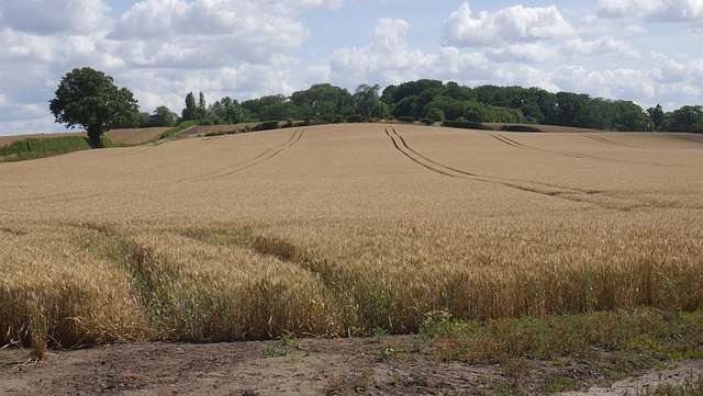
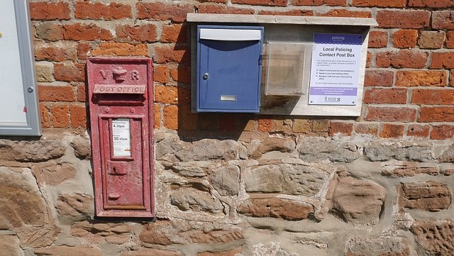
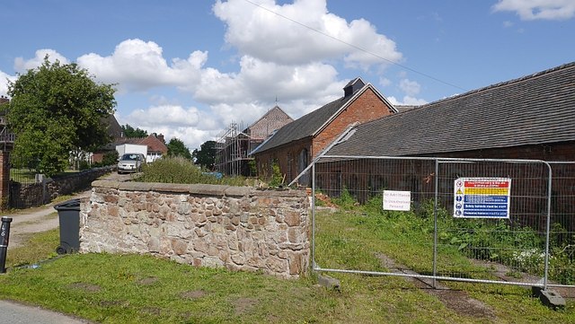
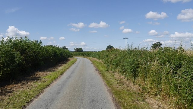
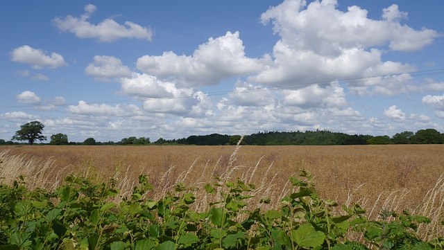
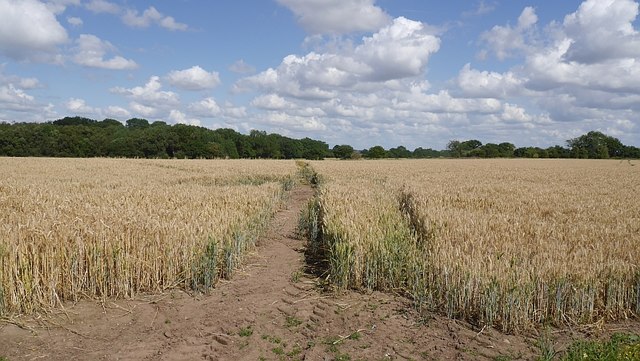
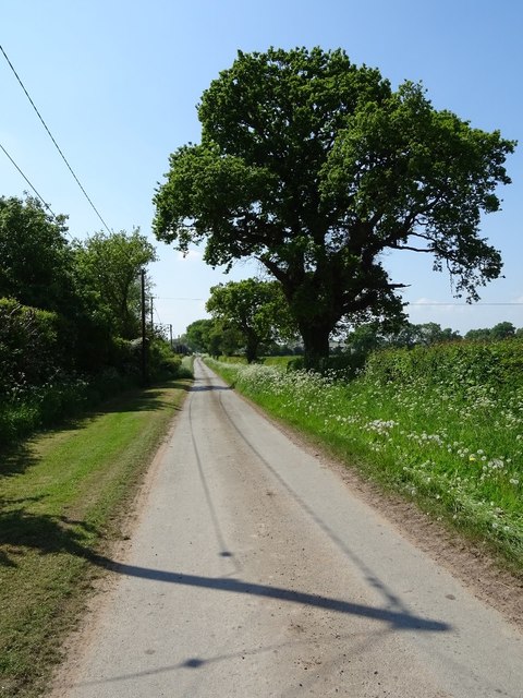
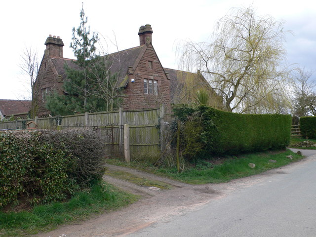
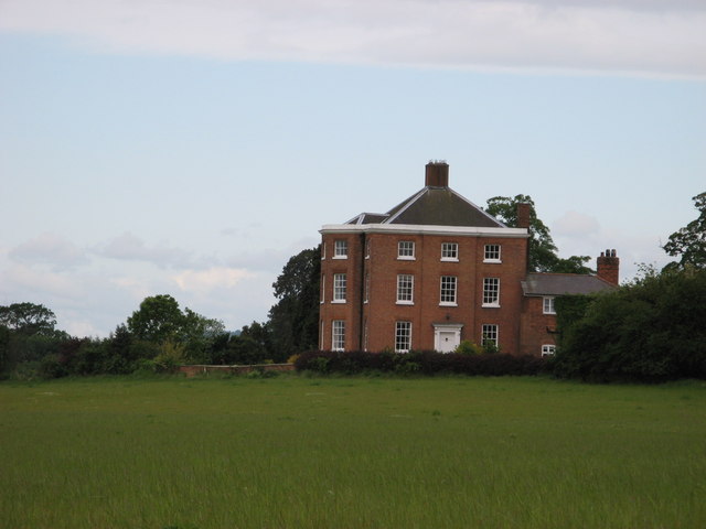
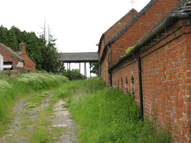
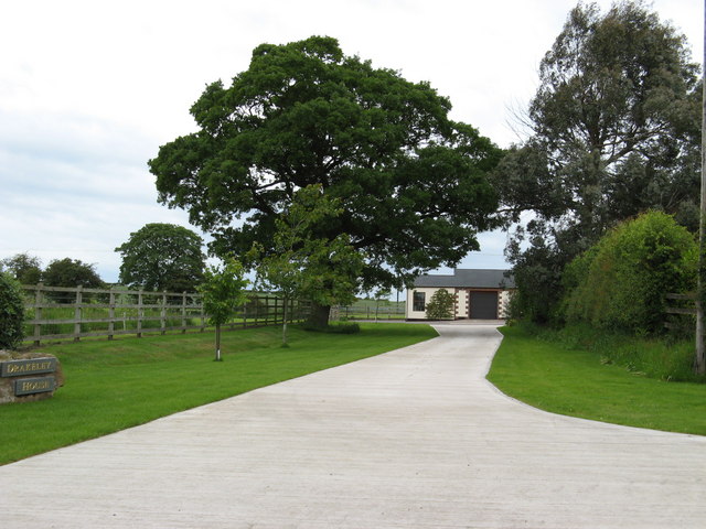
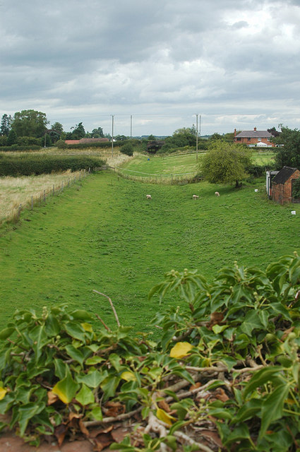
Hatton, High Images
Images are sourced within 2km of 52.818924/-2.582389 or Grid Reference SJ6024. Thanks to Geograph Open Source API. All images are credited.


Hatton, High is located at Grid Ref: SJ6024 (Lat: 52.818924, Lng: -2.582389)
Unitary Authority: Shropshire
Police Authority: West Mercia
What 3 Words
///plump.vines.supposes. Near Stoke upon Tern, Shropshire
Nearby Locations
Related Wikis

Peplow railway station
Peplow railway station was a station in Peplow, Shropshire, England. The station was opened in 1867 and closed in 1963. The track has been infilled to...
Wellington and Drayton Railway
The Wellington and Drayton Railway was a standard gauge line in Central England which carried through freight and local passenger traffic until closure...

Peplow
Peplow is a hamlet in Shropshire, England. It is part of the civil parish of Hodnet, a larger village to the north. The hamlets of Bowling Green and Radmoor...

Peplow Hall
Peplow Hall is a privately-owned 11,635 square feet (1,080.9 m2), 18th-century mansion at Peplow, near Hodnet, Shropshire. It is a Grade II* listed building...
Nearby Amenities
Located within 500m of 52.818924,-2.582389Have you been to Hatton, High?
Leave your review of Hatton, High below (or comments, questions and feedback).